Krušné hory
mountains
A 130 km ridge wall above the northwest border — bleak beautiful plateaus, mining towns with UNESCO history, and long days with big views south over the basin.
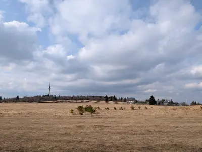
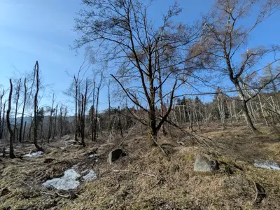
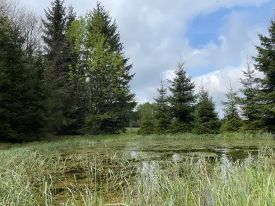
Every day here has the same profile: a steep climb — the range rises as one long fault wall above the North Bohemian basin and slopes away gently into Saxony — then miles of wide, open, windswept summit plateau. That shape rewards one-way plans, and cable cars, rail spurs and border crossings supply plenty of them; the foothill towns are around two hours from Prague by train. On top the walking is heather, peat bogs and spruce, and from the southern edge — Bouřňák, Komáří vížka above Krupka — the whole České středohoří lines up across the basin haze.
Eight centuries of ore mining shaped everything here, from the terraced hillsides to the towns like Krupka with their medieval shafts; since 2019 the Ore Mountains mining landscape is a UNESCO World Heritage site shared with Saxony. Klínovec (1244 m) tops the range.
At a glance
- Countryside
- Long moorland ridge above the coal basins
- Highest point
- Klínovec, 1244 m
- From Prague
- Around two hours by train to the foothill towns
- Best time
- May to October; ridge skiing in winter
- Bases
- Teplice, Litvínov, Boží Dar
Places worth walking to
Hrob · Litvínov · 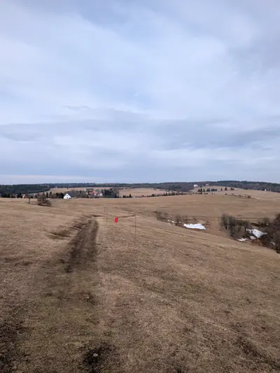 Bouřňák · Cínovec ·
 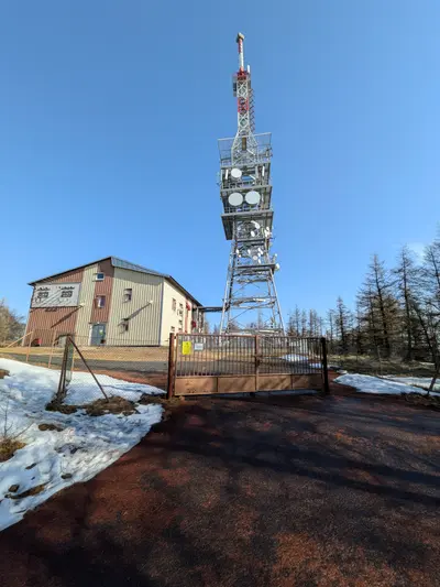 Jedlová ·
 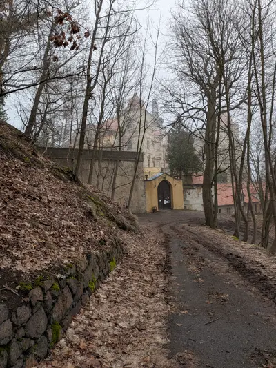 Jezeří · Krupka ·
 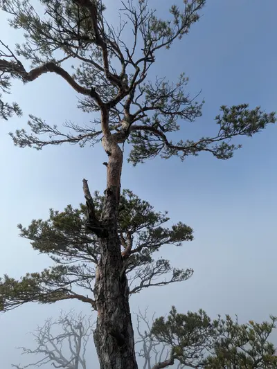 Starý Žeberk · Vlčí hora