Over Vlčí hora
Krušné hory · Point to point · hiked 4 May 2024
A 19.6 km point-to-point hike from Hrob over the Krušné hory plateau and Vlčí hora down to Litvínov.
The shape of this day is simple, and all the effort sits in the first third: one climb out of the foothills, then a long stretch of rolling plateau and a steady descent back down to the basin.
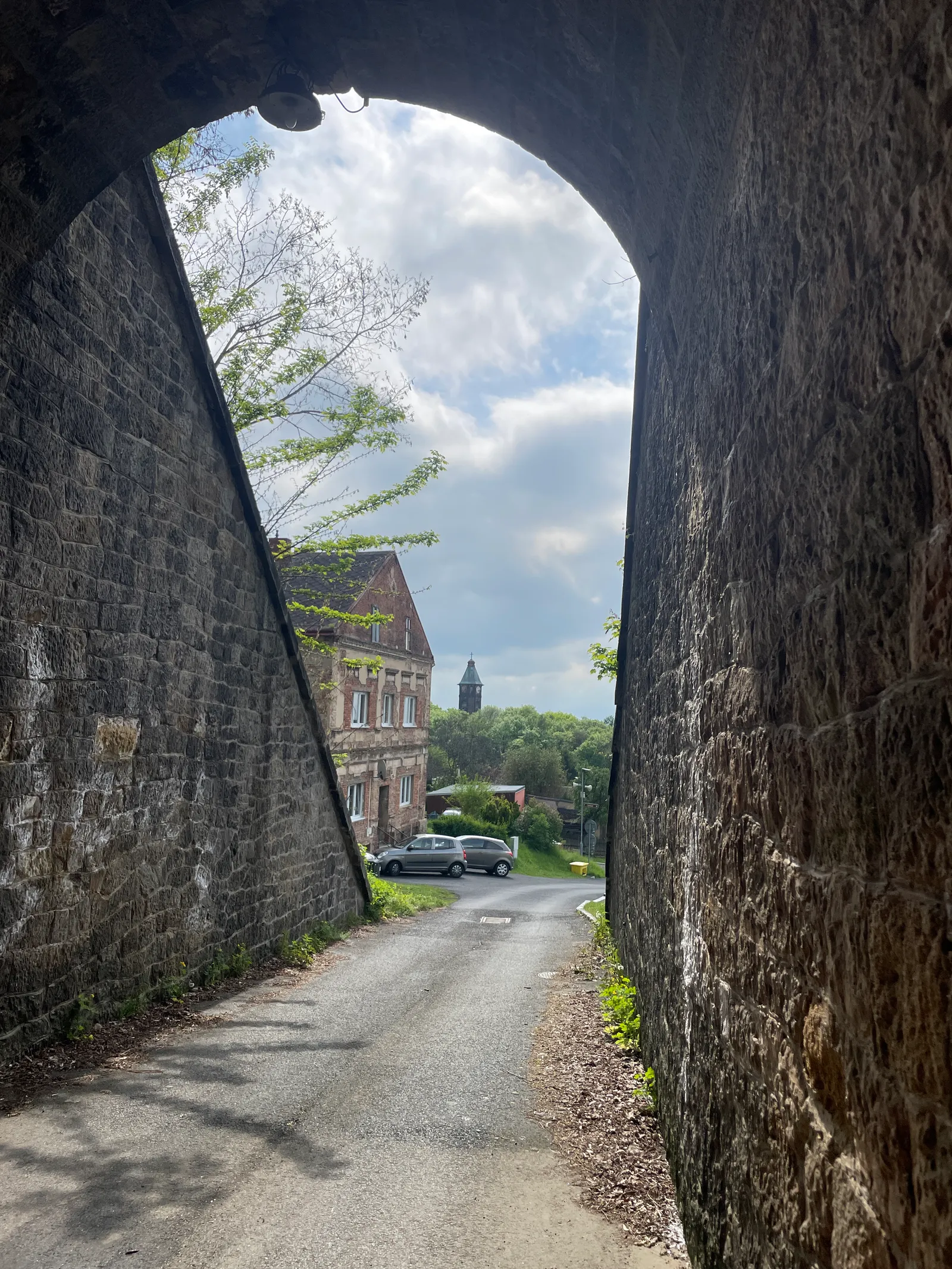
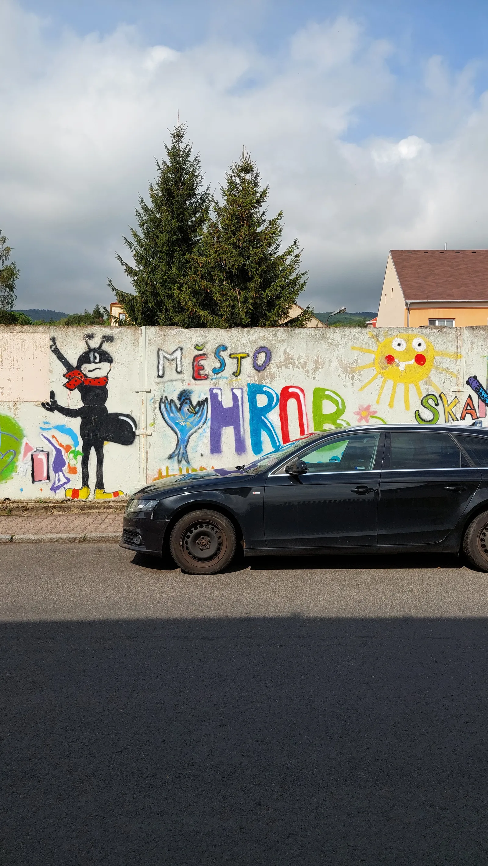
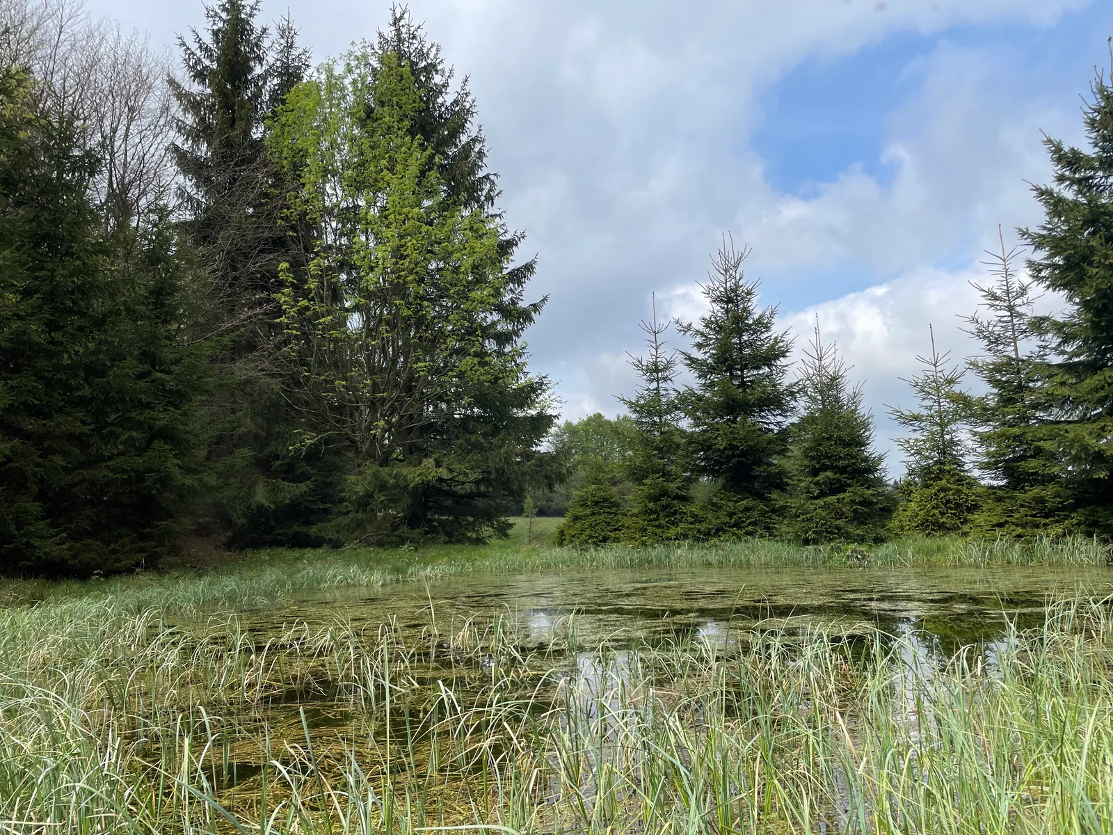
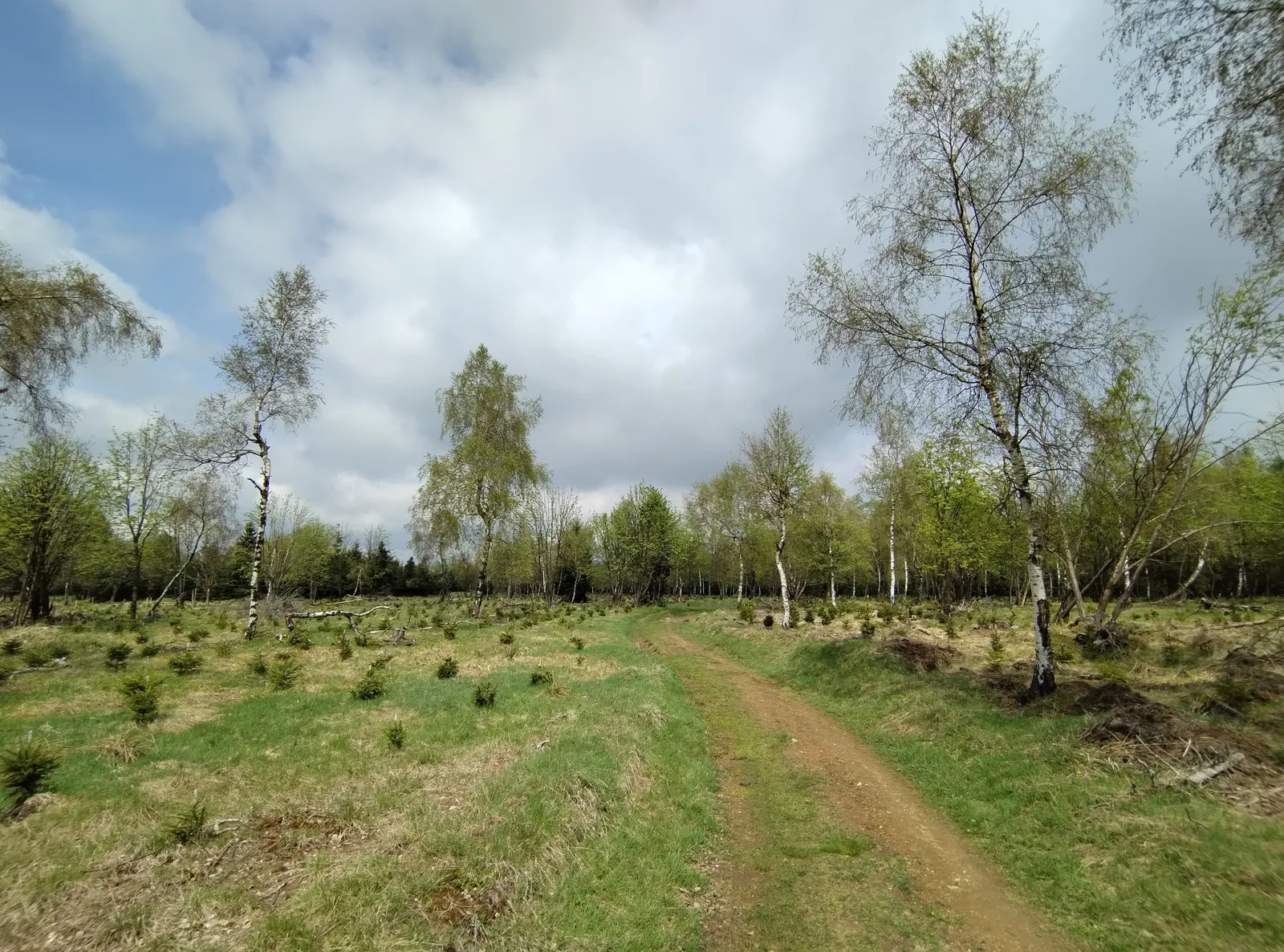
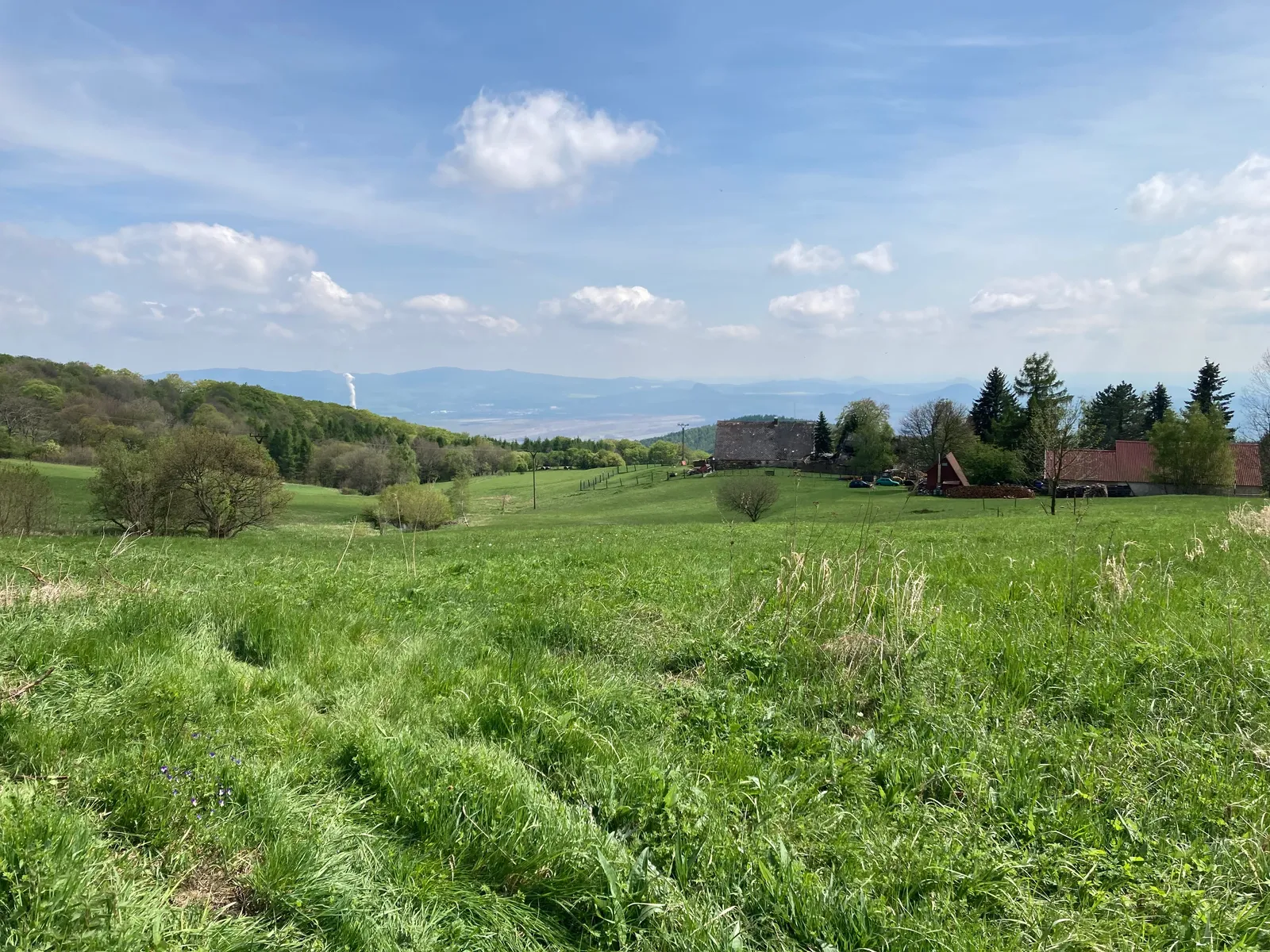
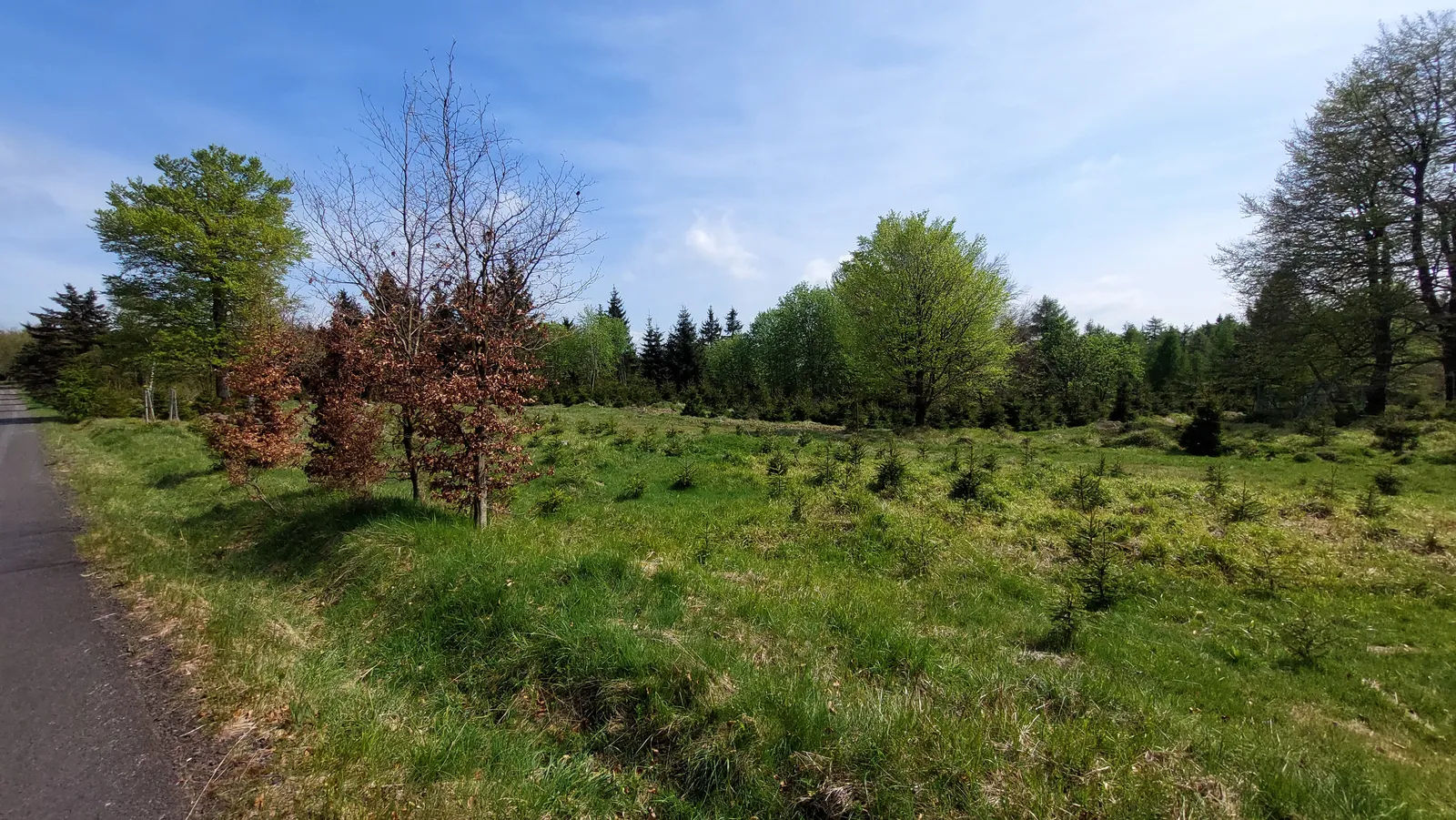
From Hrob — take a moment in town for the foundations of the church whose demolition in 1617 helped start the Thirty Years’ War — the route climbs west out of the valley onto the plateau. Once the gradient eases you are in typical high Krušné hory country: spruce woods, meadows and old mountain villages, with Křižanov and Dlouhá Louka on the way. Vlčí hora is the high point of the day in both senses, though up here it feels like a gentle rise rather than a summit push.
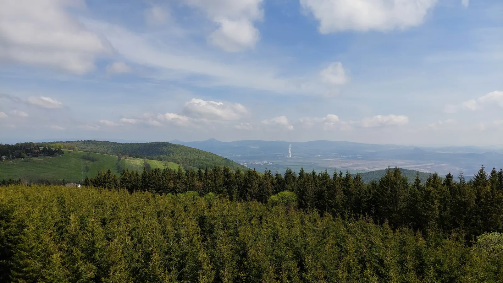
From the plateau rim the route drops south through the woods to Meziboří, terraced into the slope, and continues down into Litvínov, where trains and buses run along the foot of the mountains.
Practical info
| Start | Hrob railway station — by train, bus |
|---|---|
| End | Litvínov railway station — by train, bus |
| Terrain | forest path |
| Links | Open route on Mapy.com |
| GPX | Download track |
On the way
-
Hrob
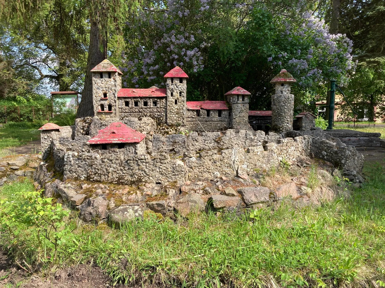
A small town under the Krušné hory scarp whose Protestant church, demolished in 1617, helped spark the Thirty Years' War — its foundations are preserved as a memorial.
-
Vlčí hora
An 892 m summit on the eastern Krušné hory plateau near Dlouhá Louka, wooded top on rolling upland moor and meadow country.
-
Litvínov
A town squeezed between the Krušné hory slope and the North Bohemian coal basin — for hikers, the rail-connected gateway to the eastern part of the range.