About
Who walks these trails and how this site works.
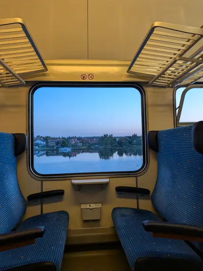
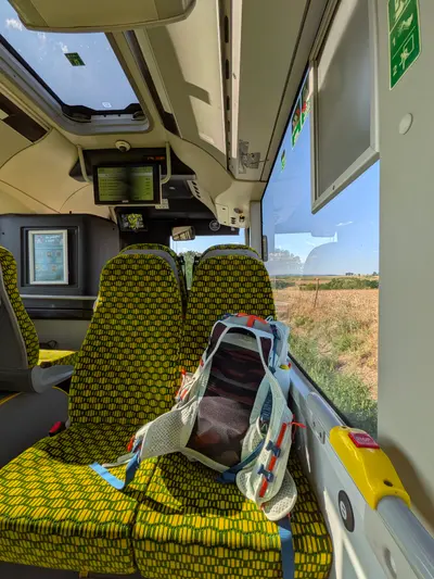
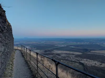
I started hiking seriously during covid, when there was not much else to do. The habit stuck: at least one hike a month ever since, most of them day trips on the same pattern — a morning train from Prague, a day of walking, an evening train back.
Two habits from those years built this site. Every hike gets planned in advance, so each one has its saved Mapy.com route; and every hike gets its own photo album. A few thousand kilometres later, that turned out to be a solid foundation for a hiking website.
The rule here is simple: everything is first-hand. Every trail on this site I walked myself; every photo is mine, taken on the way. That is also why plenty of places are missing, some of them famous — one walker cannot cover a whole country, and this site does not pretend to. What is here, happened.
Use it either way: walk the trails exactly as I walked them — every one has a GPX download and a Mapy.com link — or take them as inspiration and draw your own line. Planning a route on Mapy.com takes minutes.
The difficulty scale
The levels follow distance and ascent — never time, your pace is yours. On a multi-day hike they rate the days, not the total (the day count is shown next to the distance) — plus one level for the overnight itself: carrying your gear and sleeping out is effort the numbers don’t show. Rough ground — rocks, scrambles, exposure — can push a hike a level past its numbers too.
| 1 · Easy | Up to 15 km with under 300 m of climbing. Any fitness, any footwear. |
|---|---|
| 2 · Easy day walk | Up to 22 km and 600 m. A relaxed full day on well-marked paths. |
| 3 · Full day out | Up to 30 km or up to 1,000 m. Proper shoes, food, and a look at the daylight. |
| 4 · Long or steep | Beyond 30 km or 1,000 m of climbing. A big day — know your pace. |
| 5 · Demanding | Past 40 km or 1,600 m in a day, technical ground, or remoteness. Plan properly. |