How to use Mapy.com
The map every Czech hiker carries — switching it to Outdoor, reading the waymark colours, trusting the unmarked tracks, and what a free account adds.
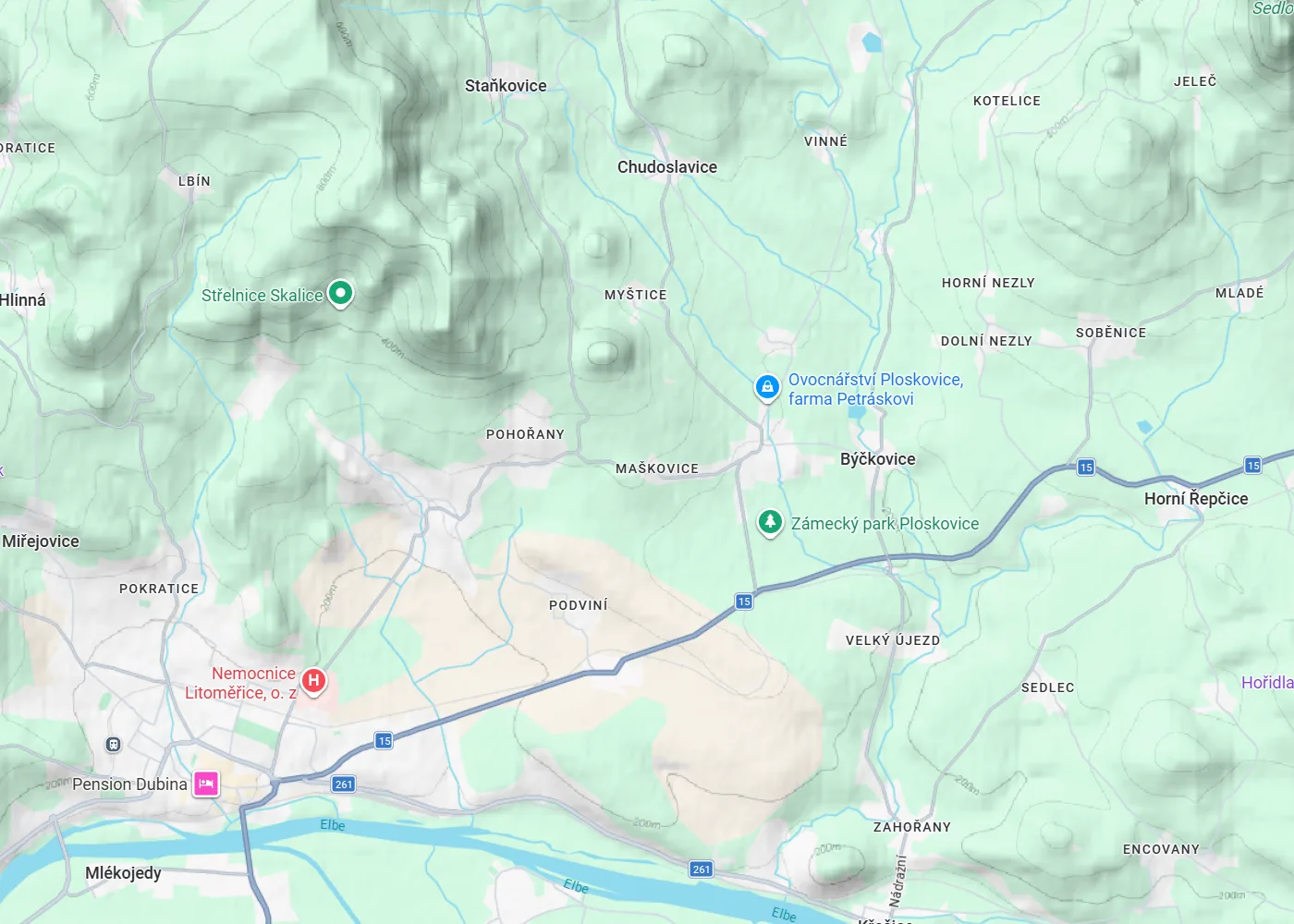
Google Maps is close to useless for Czech hiking: no waymarked routes, no contours, footpaths missing or imaginary. Mapy.com (made by Seznam, and free) knows every trail, spring and lookout tower in the country instead — every trail on this site links its route there. The app does a lot, but hiking needs only a handful of its habits; here they are.
1 · Make an account
A free account unlocks the part of Mapy.com this whole site runs on: saved routes and places. Plan a route on the website, save it into Moje mapy, and it is waiting in the phone app when you set out — and after the hike you can export the line as GPX. Saved routes sync between devices, so the planning happens comfortably on a big screen and the walking happens with the phone.
2 · Switch the map to Outdoor
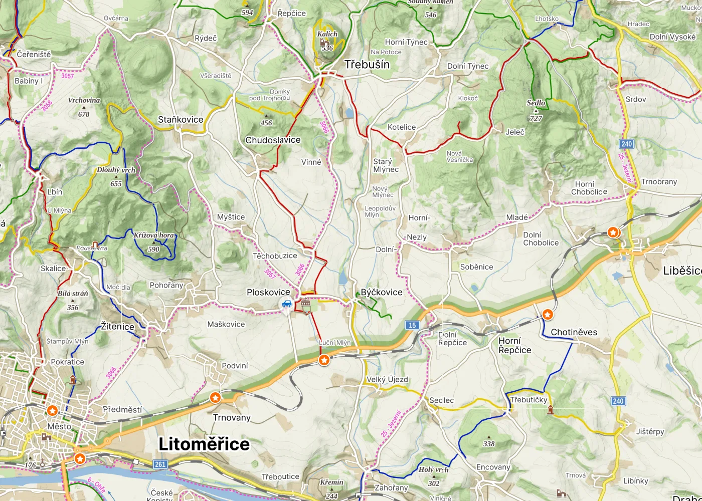
The default view is a road map. The first thing to do — on the website and in the app — is open the layer switcher and pick Outdoor. The map changes character completely: waymarked hiking routes appear as coloured lines, contours show the shape of the hills, and the symbols hikers care about come out of hiding — viewpoints, lookout towers, springs, shelters, ruins, pubs.
3 · Read the coloured lines
The coloured lines on the Outdoor map are not suggestions drawn by an algorithm — they are the real KČT waymarked routes, and the colours on screen match the paint on the trees: red, blue, green, yellow. What you plan on the map is what you follow on the ground, stripe by stripe. Junction signposts with kilometre distances exist in the map too — zoom in and the route names and numbers appear along the lines.
4 · Don’t fear the unmarked tracks
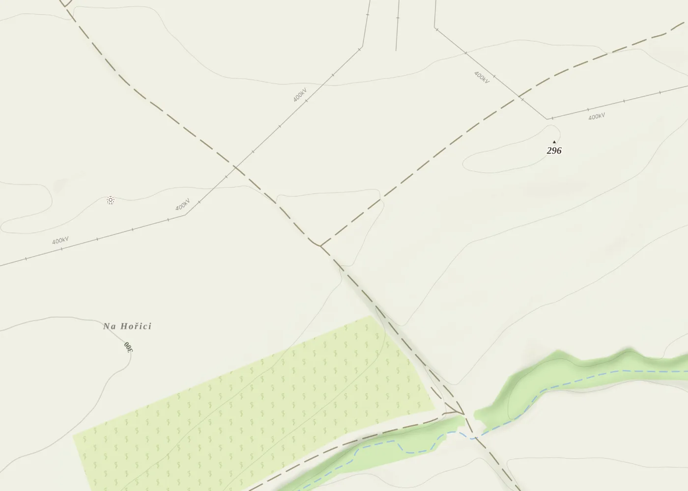
The map also shows a dense web of paths with no colour at all: field tracks, forest roads, cart tracks. In my experience about 95 % of them are perfectly walkable — passable, legal, often pleasant. The reason they carry no waymarks is usually not that something is wrong with them, just that nothing made them worth marking — they can be duller than the waymarked line: more straight forest road, fewer views. Use them freely to connect routes, shortcut a loop or escape to a station; just expect the scenery to be the price now and then.
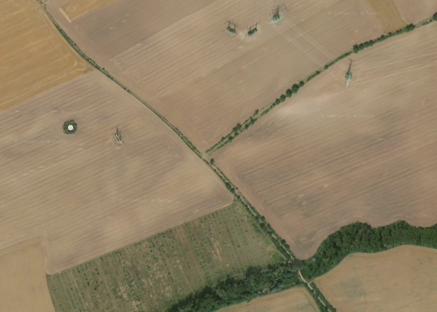
And when you want certainty that a dashed line is a real path, the map can prove it: switch to the Aerial layer and look. The same tracks that are abstract dashes on the map show up as tree-lined lanes between the fields — if you can see the line on the ground from the air, you can walk it.
5 · Download the maps before you go
In the app, download the regions you hike in — the whole country fits in a few gigabytes. With offline maps the phone navigates all day in airplane mode, which also means the battery lasts the whole day. Deep valleys with no signal stop mattering entirely.
6 · Let the map find the pubs
The search knows the hiker’s vocabulary: pubs, springs, lookout towers, castle ruins, bus stops, train stations. Planning a long day, I check two things along the line — where water and food might exist, and where the escape stations are if the day turns. Both are one search away on the Outdoor map.