The Two Blaníks
Podblanicko , CHKO Blaník , Point to point , hiked 13 June 2026
A train-to-train day over both Blaník hills. Red waymarks lead from Domašín to Louňovice, then you climb to the chapel ruin on Malý Blaník and the lookout tower on Velký, and walk down through Kondrac to Vlašim.
From Prague the train takes you to Domašín with a change at Benešov u Prahy, and the walk ends at the Vlašim station on the same line. No car is needed at either end.
Domašín to Louňovice
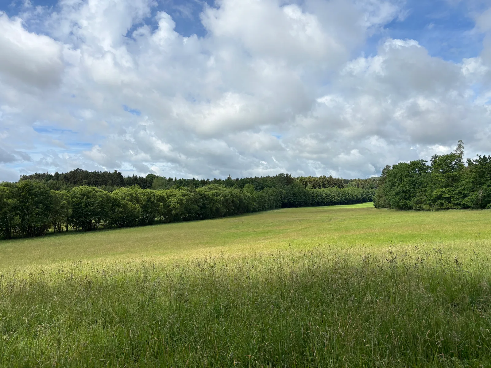
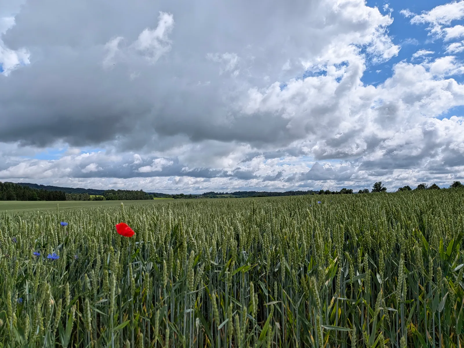
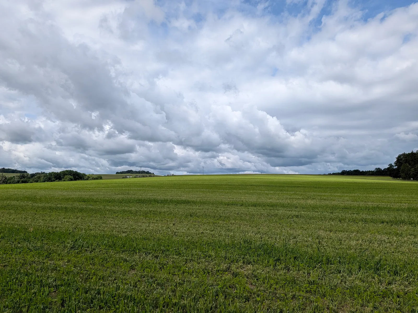
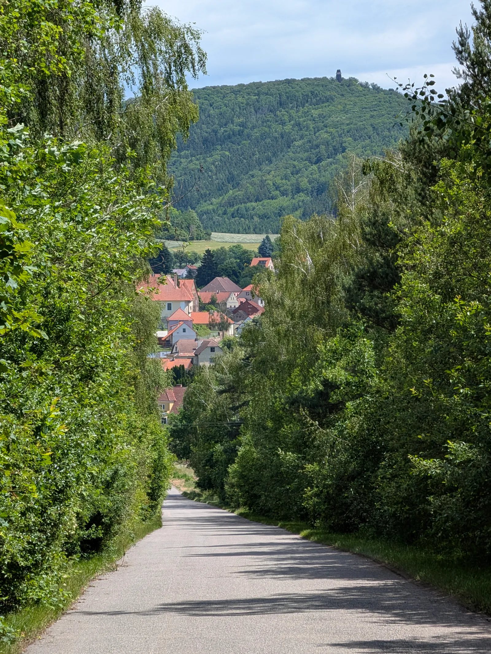
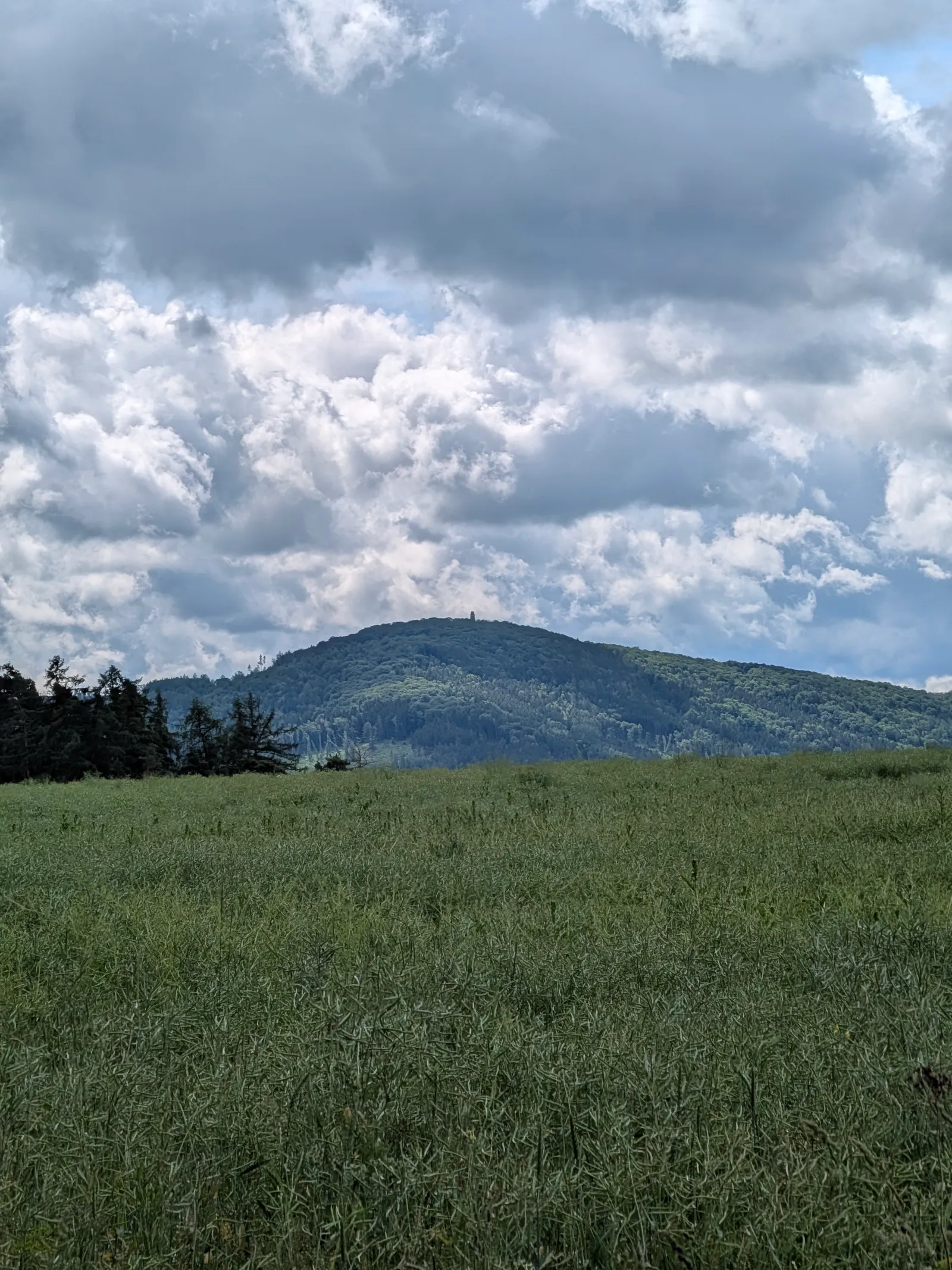
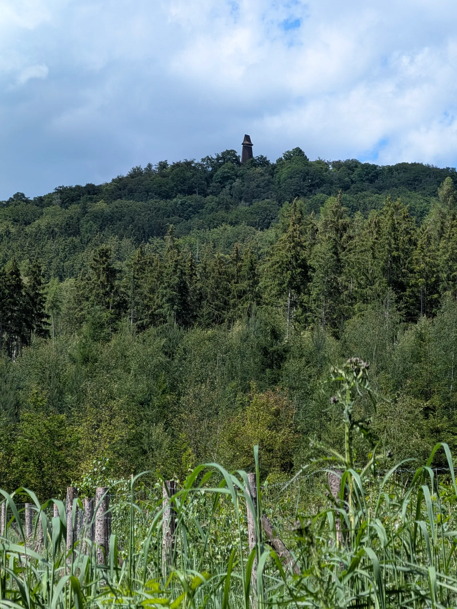
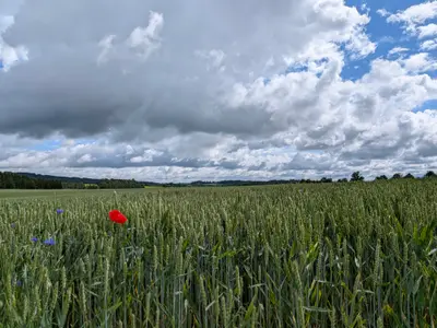
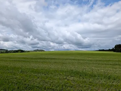
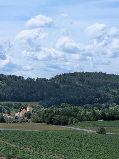
From the Domašín stop, red waymarks lead south through open farmland and the hamlet of Nesperská Lhota, with Velký Blaník in view ahead most of the way.
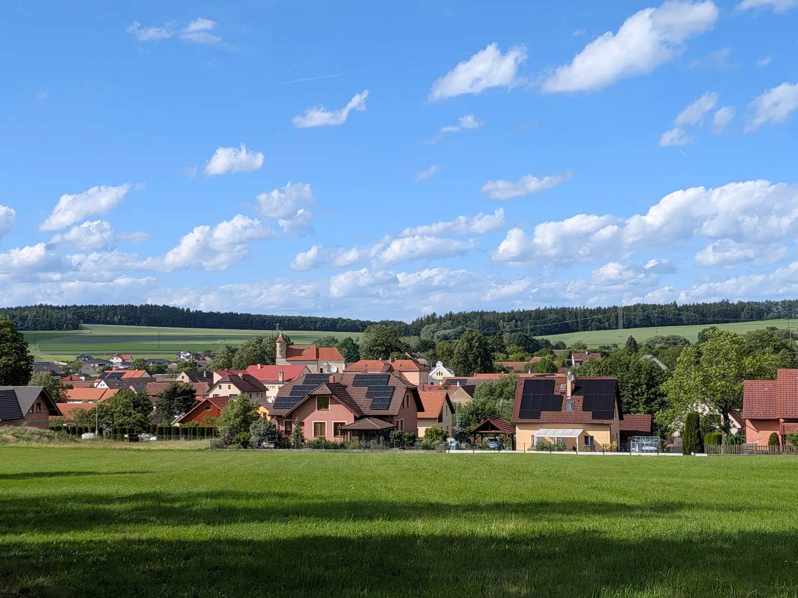
The morning leg ends in Louňovice pod Blaníkem at the foot of the hill. It is the place for lunch. Restaurace Pod Blaníkem fed us an average one.
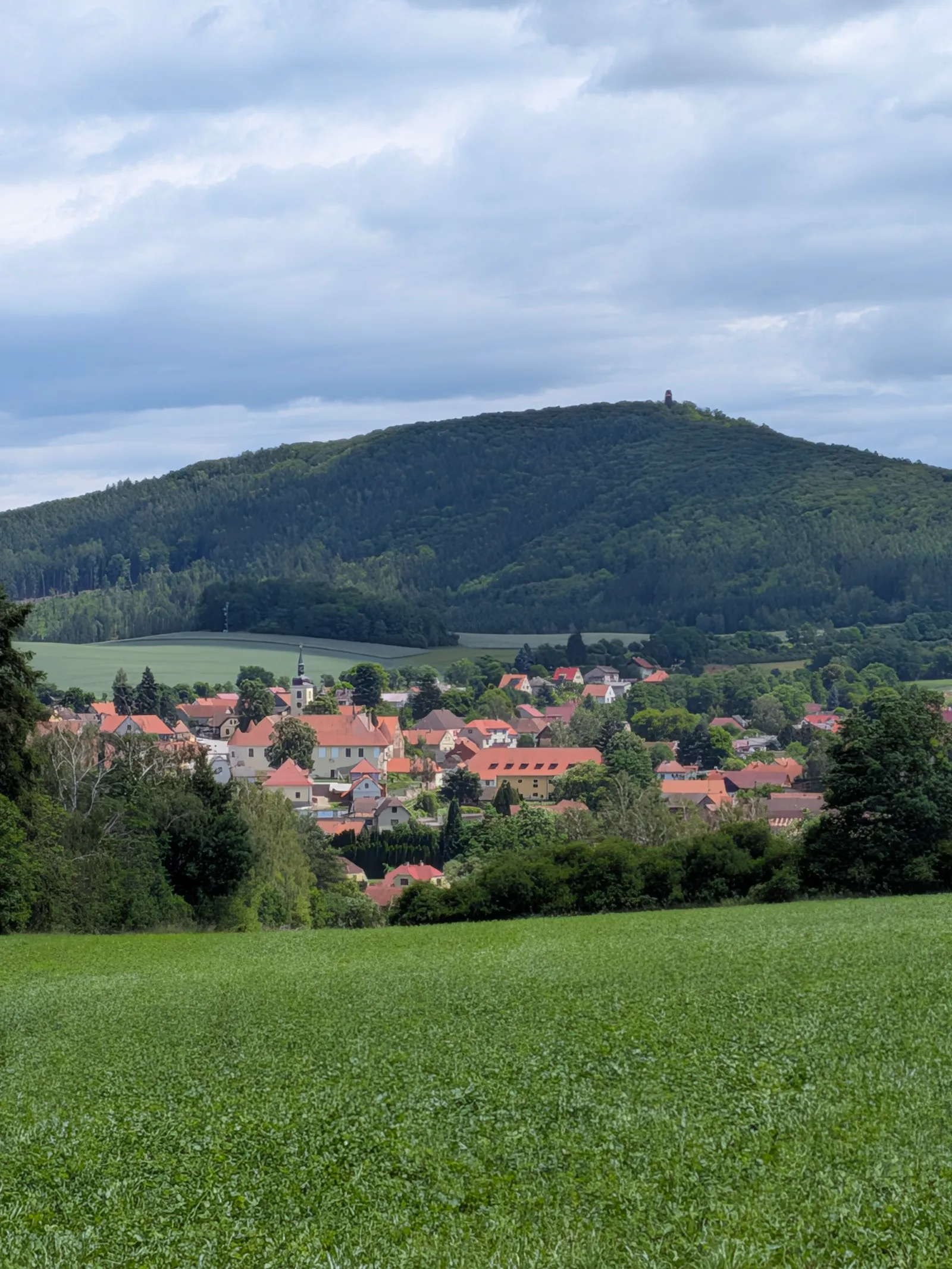
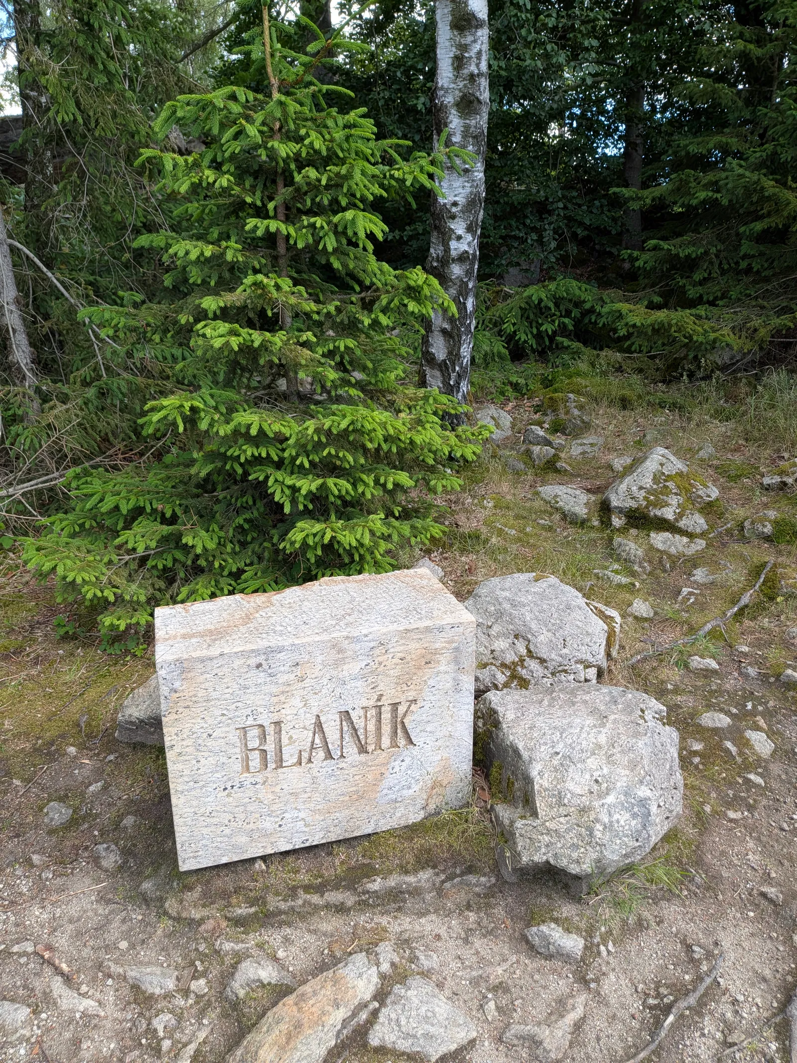
Two Blaníks
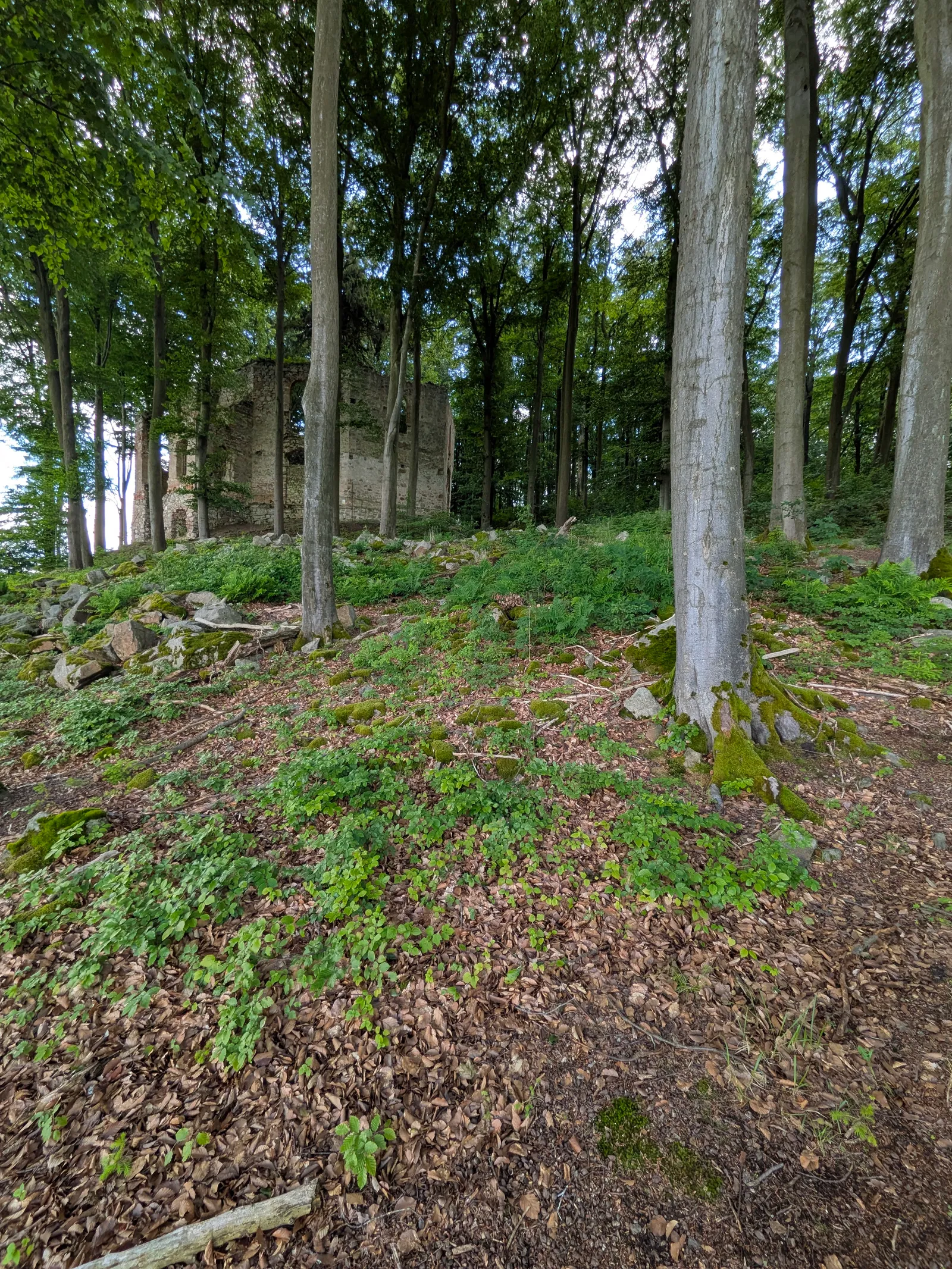
From Louňovice an unmarked path climbs through Rytířská louka, the Knights’ meadow under Malý Blaník. Take the detour up the smaller hill. A spruce grows out of the nave of the chapel ruin on top. It is a quiet spot.
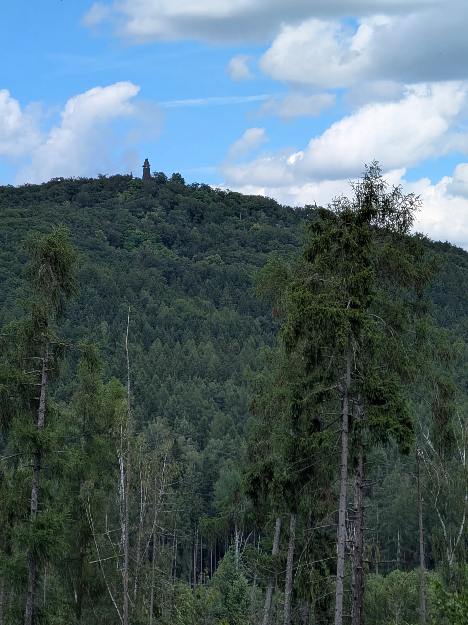
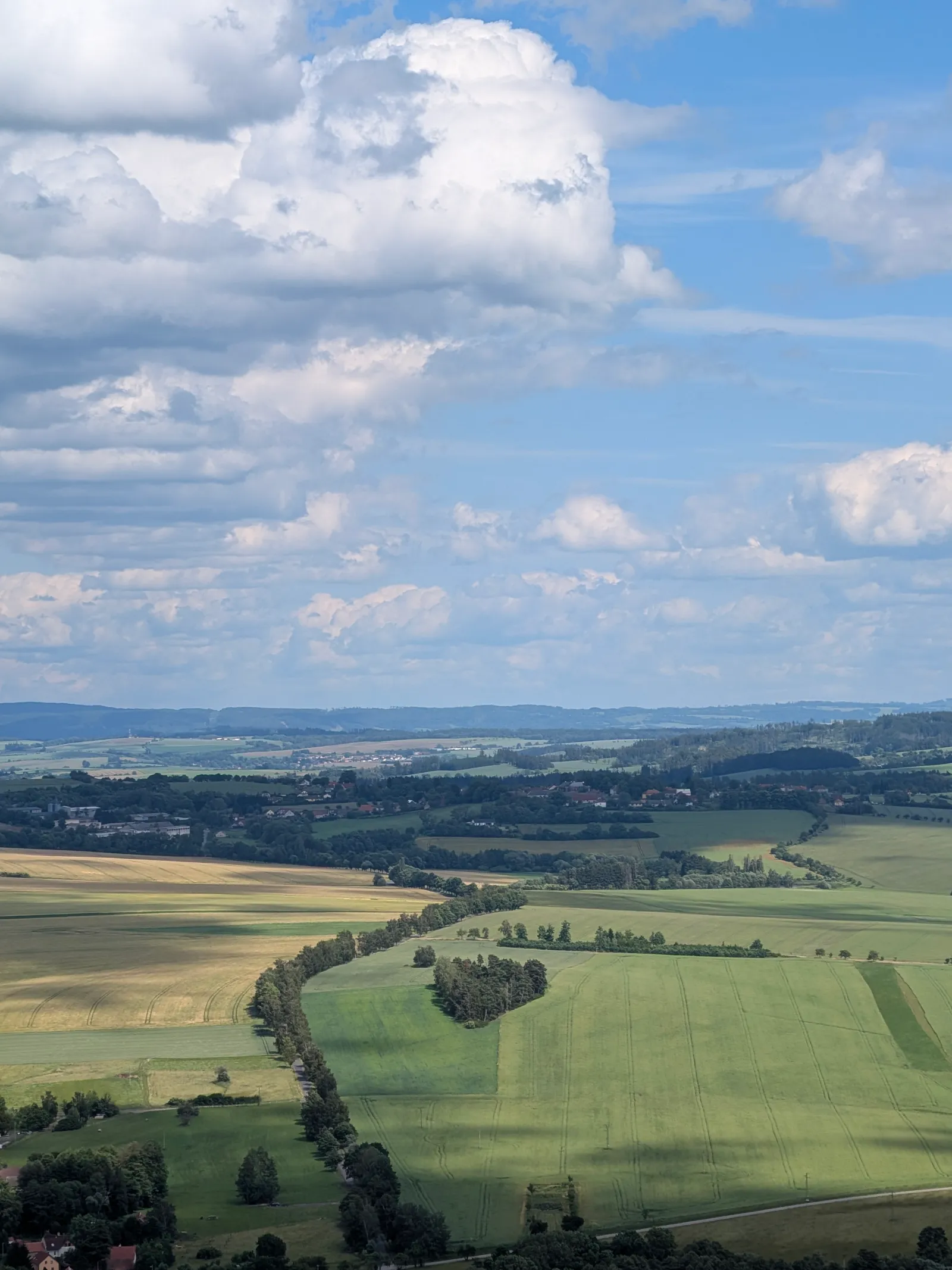
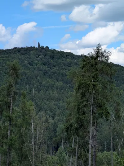
Back on the green waymarks, the trail crosses to Velký Blaník and climbs to the summit. Go up the lookout tower. It has a small pub, so you get a beer at the top of the climb.
Down to Vlašim
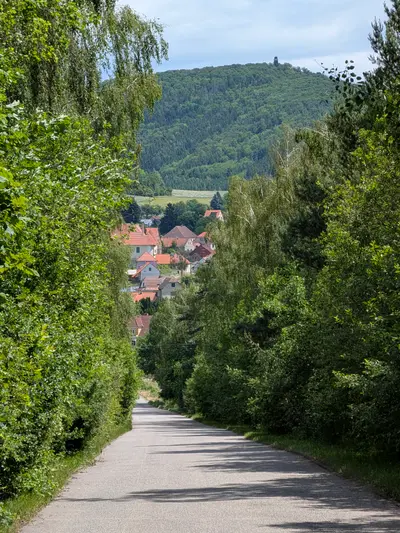
The descent continues through Kondrac, which has a decent pub for a late lunch or a beer, and then field tracks lead the last kilometres to Vlašim. Trains back to Prague run via Benešov u Prahy.
Practical info
| Start | Domašín railway stop, by train |
|---|---|
| End | Vlašim railway station, by train |
| Waymarks | red, green |
| Terrain | forest path, field track, asphalt |
| Food & water | Restaurace Pod Blaníkem, Louňovice (restaurant, km 12). average Small pub at the Velký Blaník lookout tower (pub, km 16) Village pub, Kondrac (pub, km 20). decent |
| Links | Open route on Mapy.com |
| GPX | Download track |
On the way
-
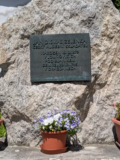
Louňovice pod Blaníkem
The little town at the foot of Velký Blaník, the natural lunch stop of any Blaník walk and the birthplace of the baroque dashboard Jan Dismas Zelenka.
-
Malý Blaník
The quieter twin of Velký Blaník, with the ruin of St. Mary Magdalene's chapel and a huge spruce growing out of its nave.
-
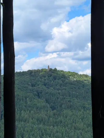
Velký Blaník
The legendary hill of the sleeping knights, topped with a wooden lookout tower above the treeline of a beech forest.
-
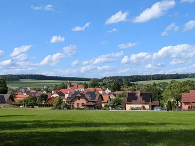
Kondrac
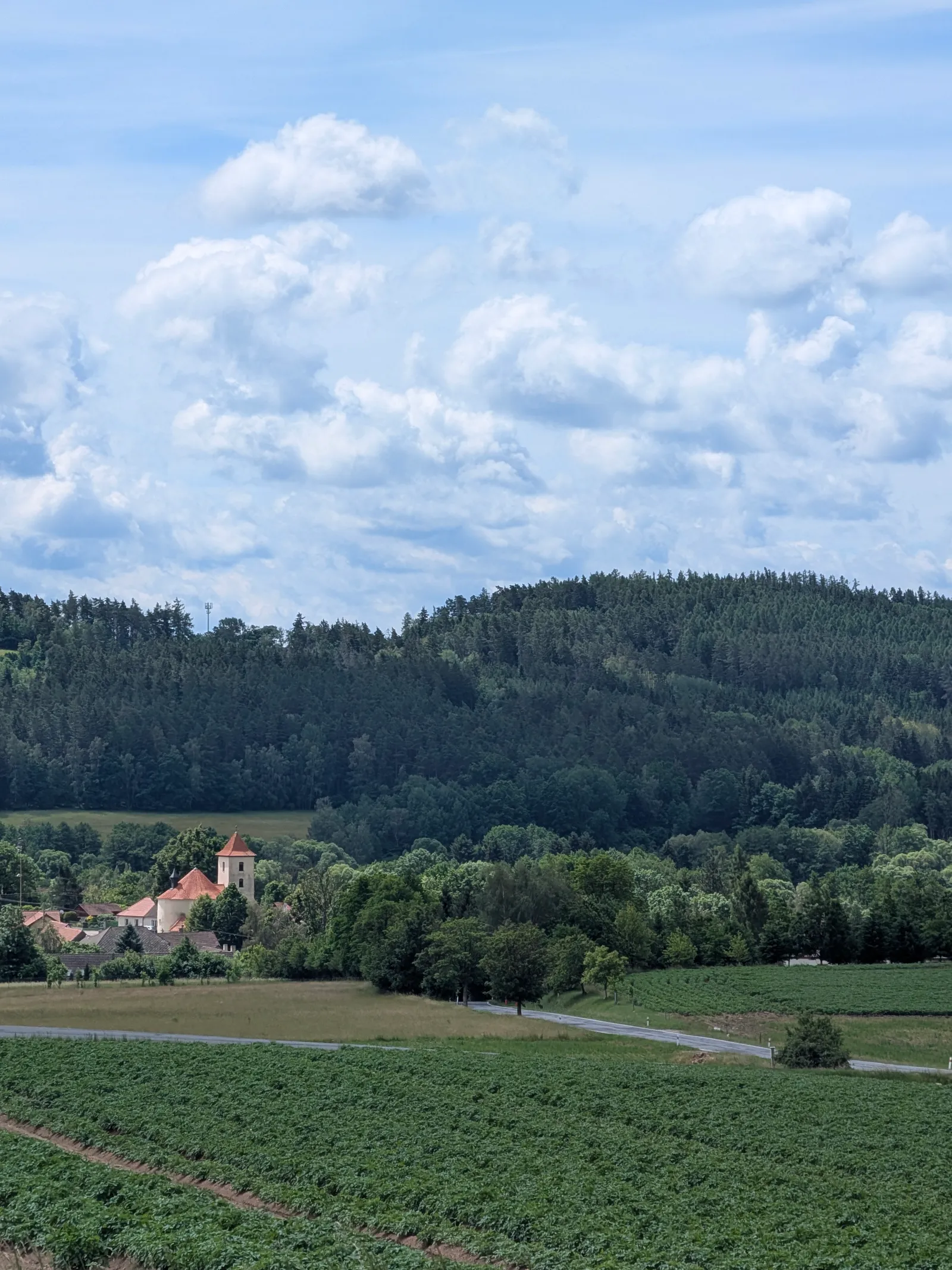
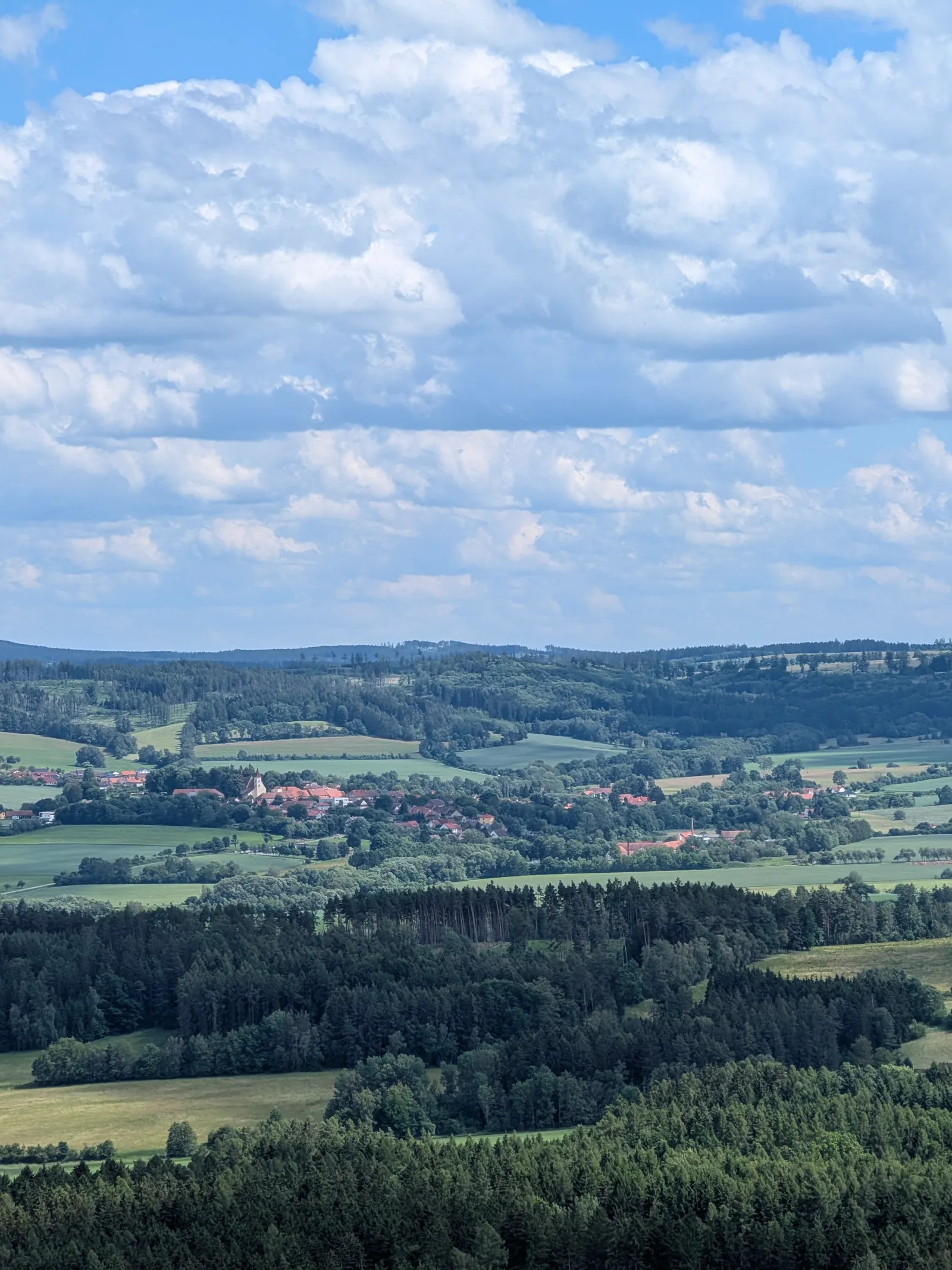
A farming village under the north side of Velký Blaník, with a Romanesque church of St. Bartholomew and a decent pub for hikers coming off the hill.
-
Vlašim
The main town of the Blaník country, with a château, a large English landscape park on the Blanice river, and the railway back towards Prague.
Photos
-
-
km 3.88 -
km 6.05 -
km 10.03 -
-
km 13.57 -
km 17.2 -
km 20.07 -
km 23.88