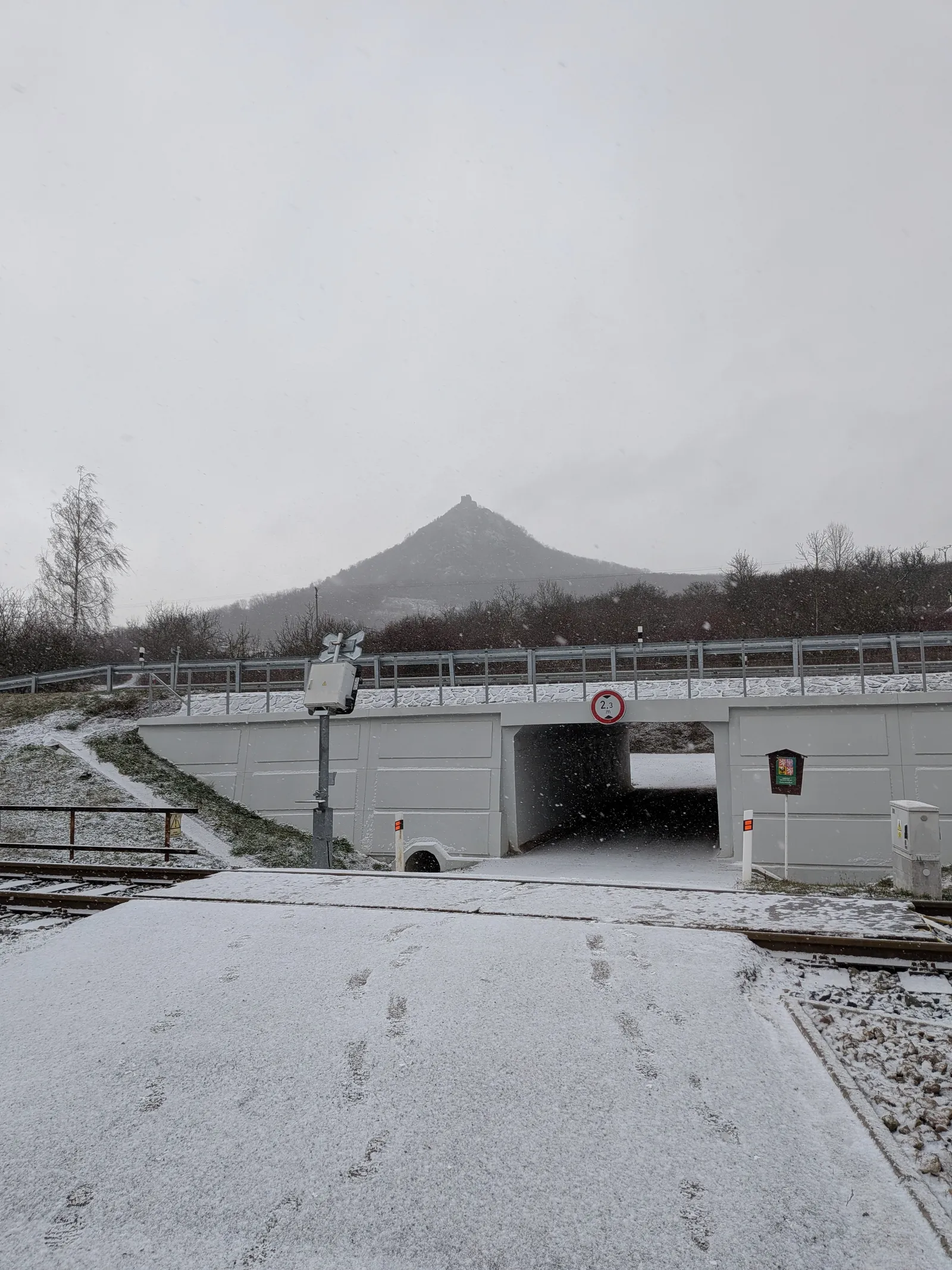
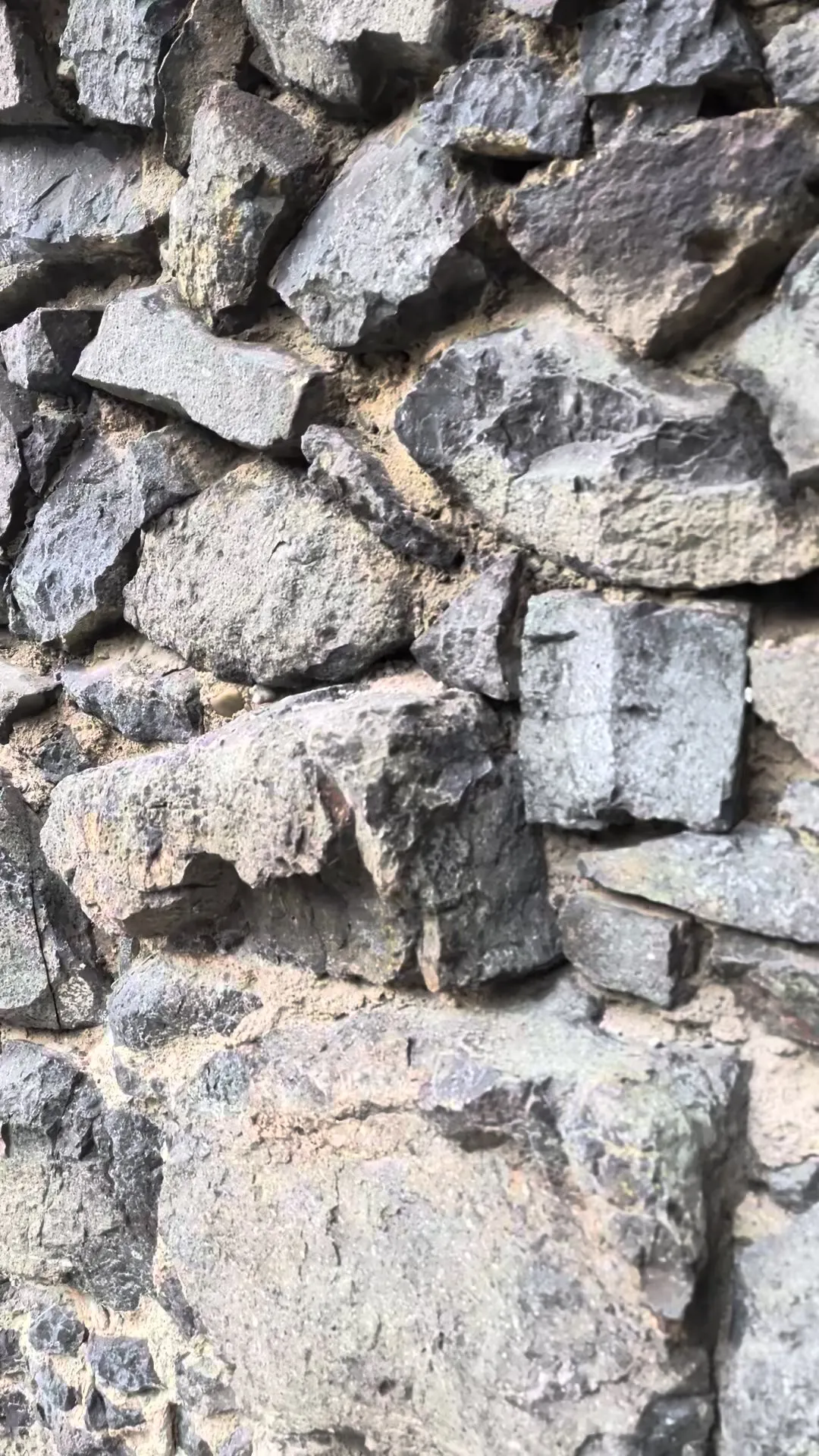
New Year's Morning at Košťál
České středohoří · Point to point · hiked 31 December 2025
A short 11.6 km New Year's Eve walk from Lovosice over the Košťál ruin to Třebenice — a morning hike with an afternoon train home.
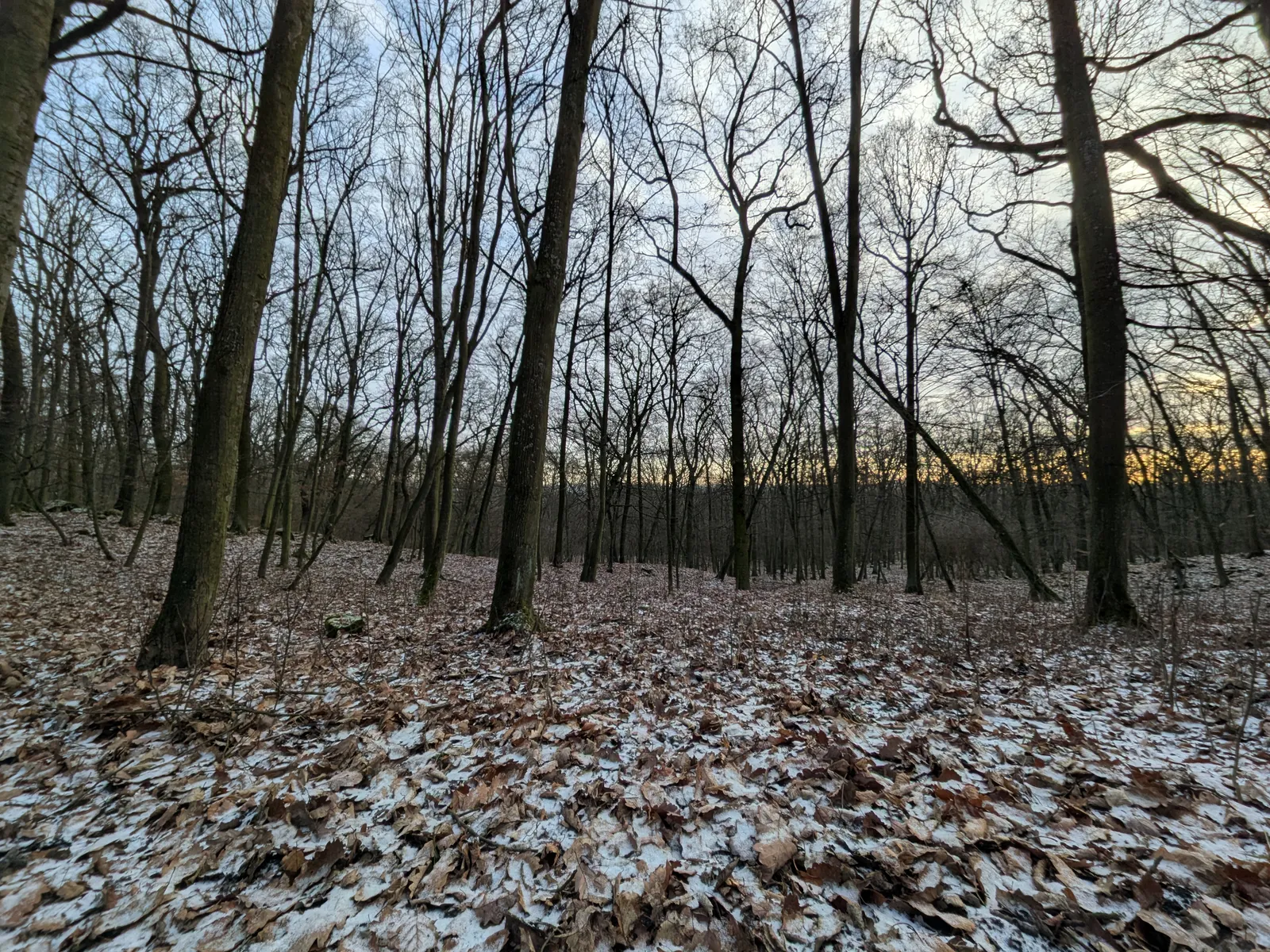
Some hikes are rituals: we walk a short one like this every New Year’s Eve — a morning in the hills, back in Prague by late afternoon — and this corner of the western Středohoří is built for exactly that. Eleven kilometres, one proper climb, trains at both ends.
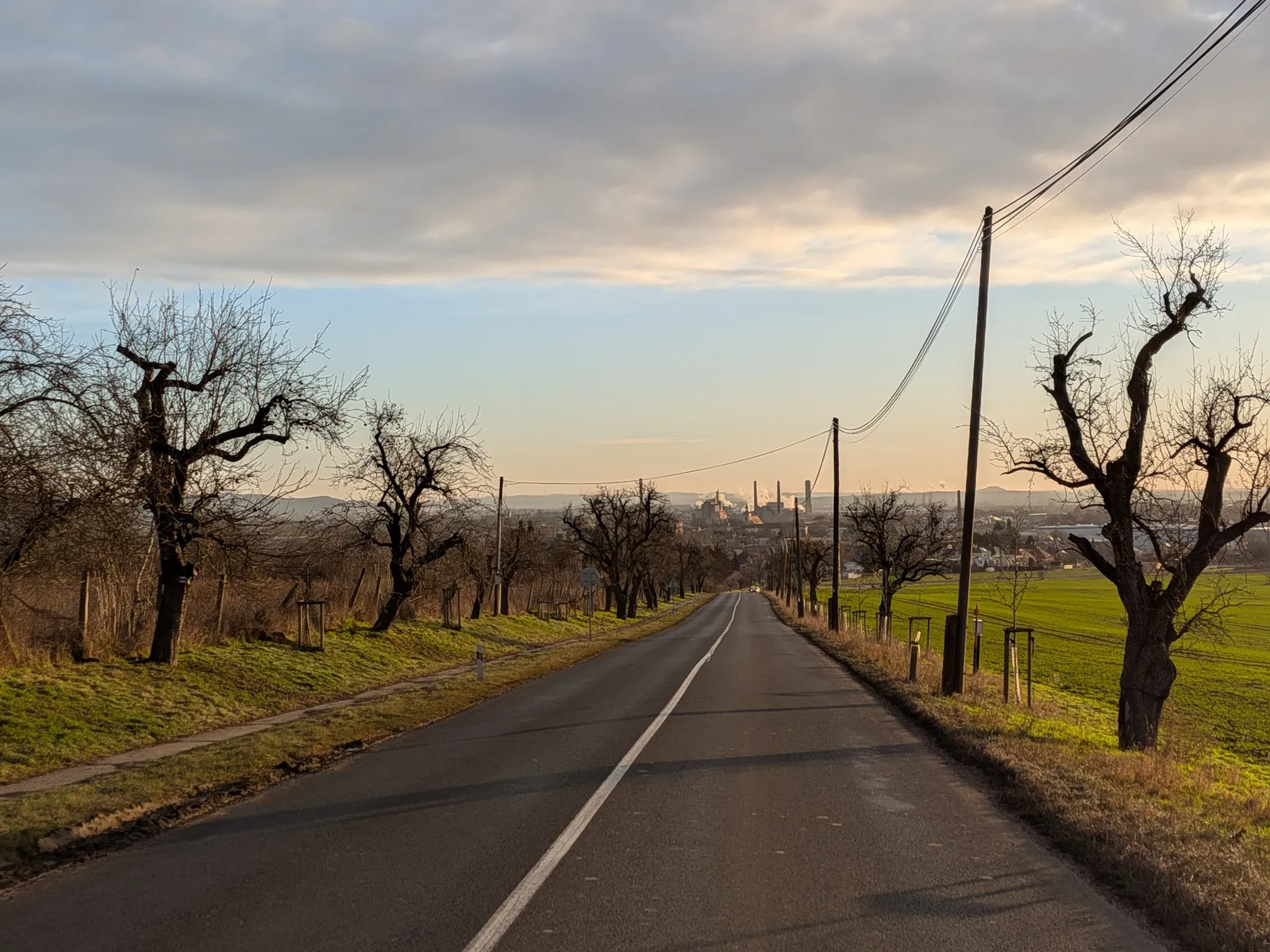
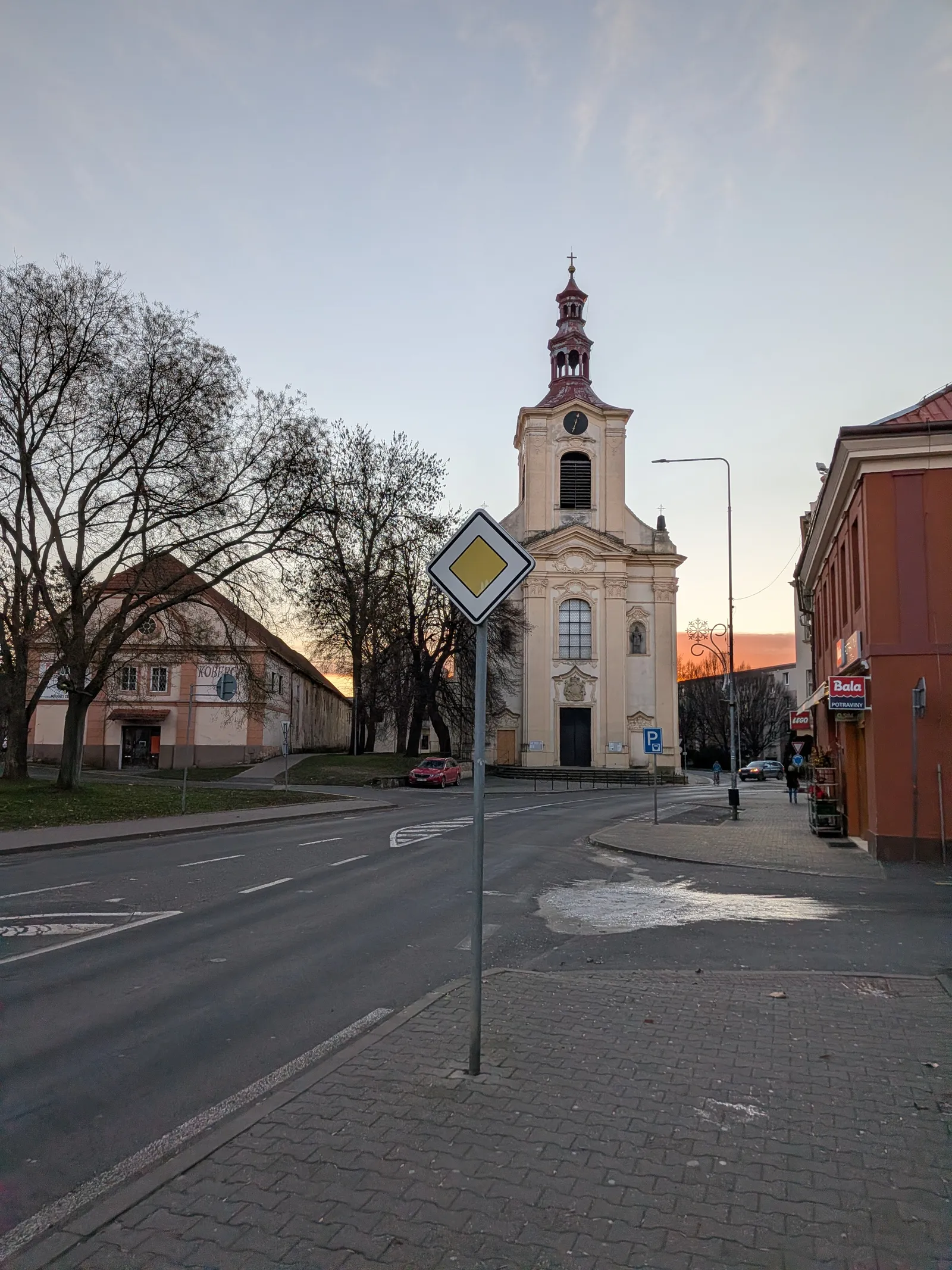
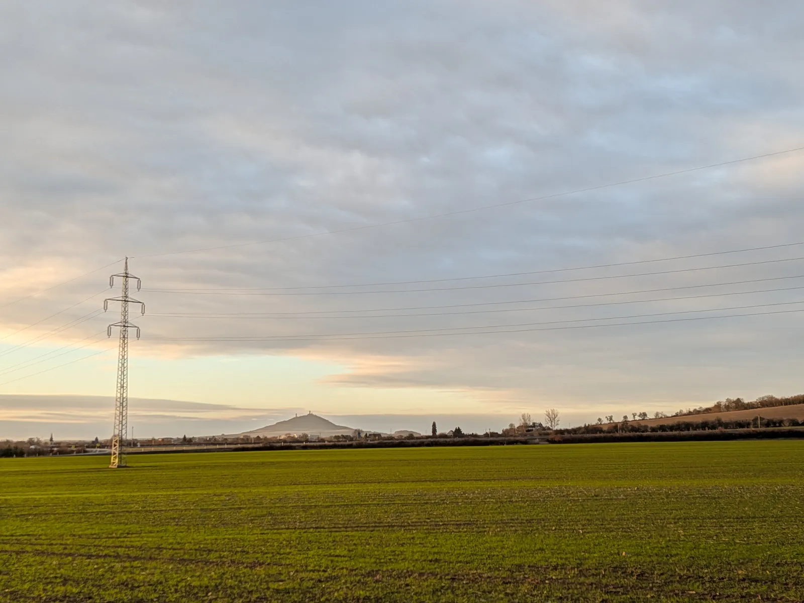
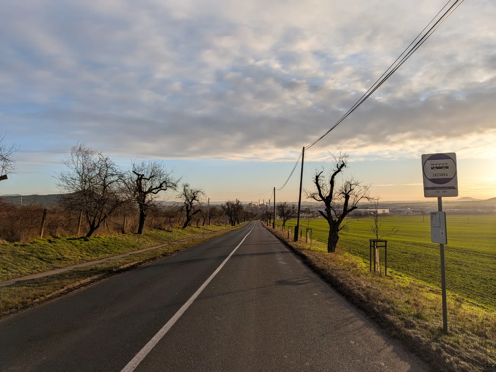
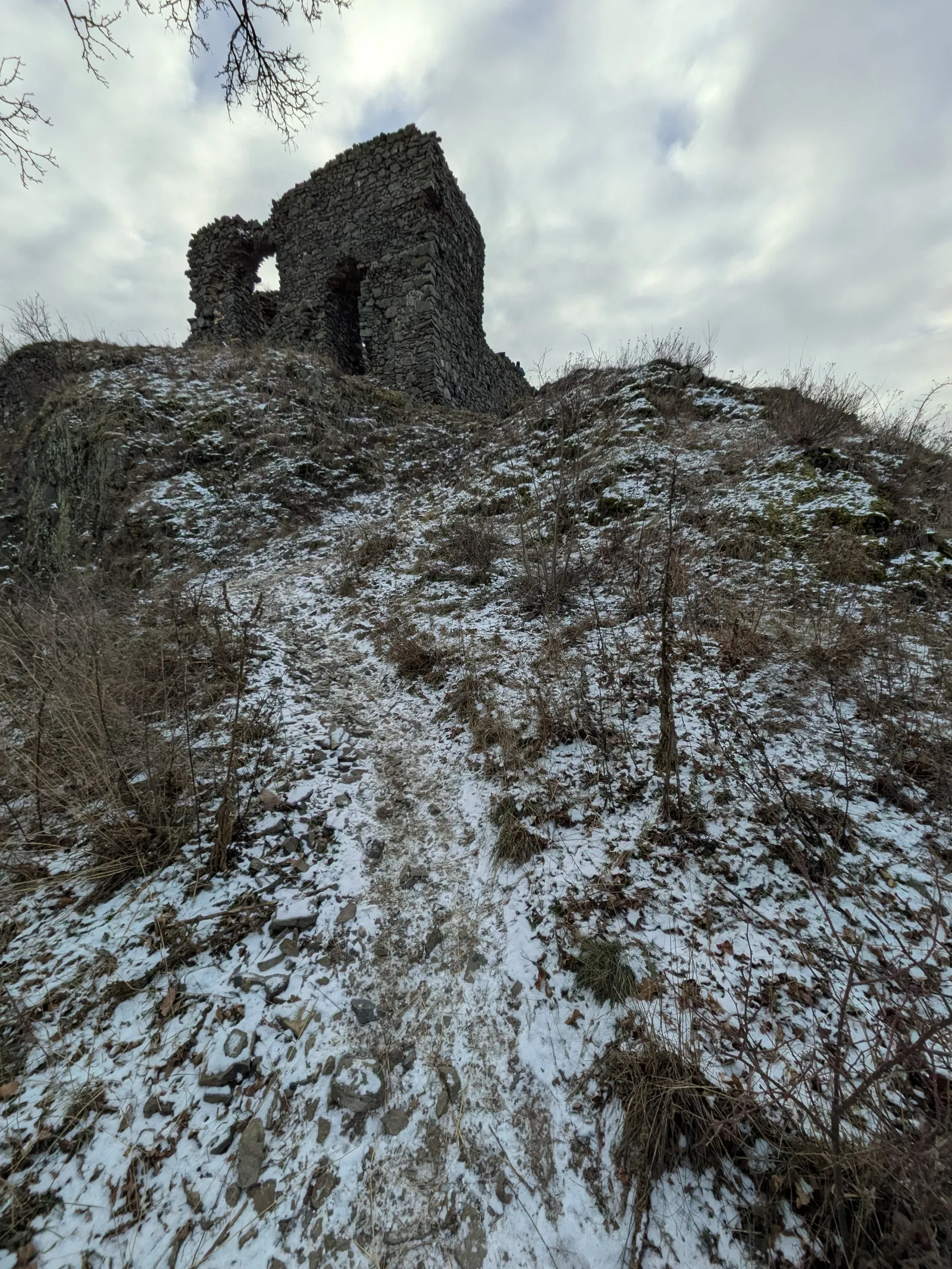
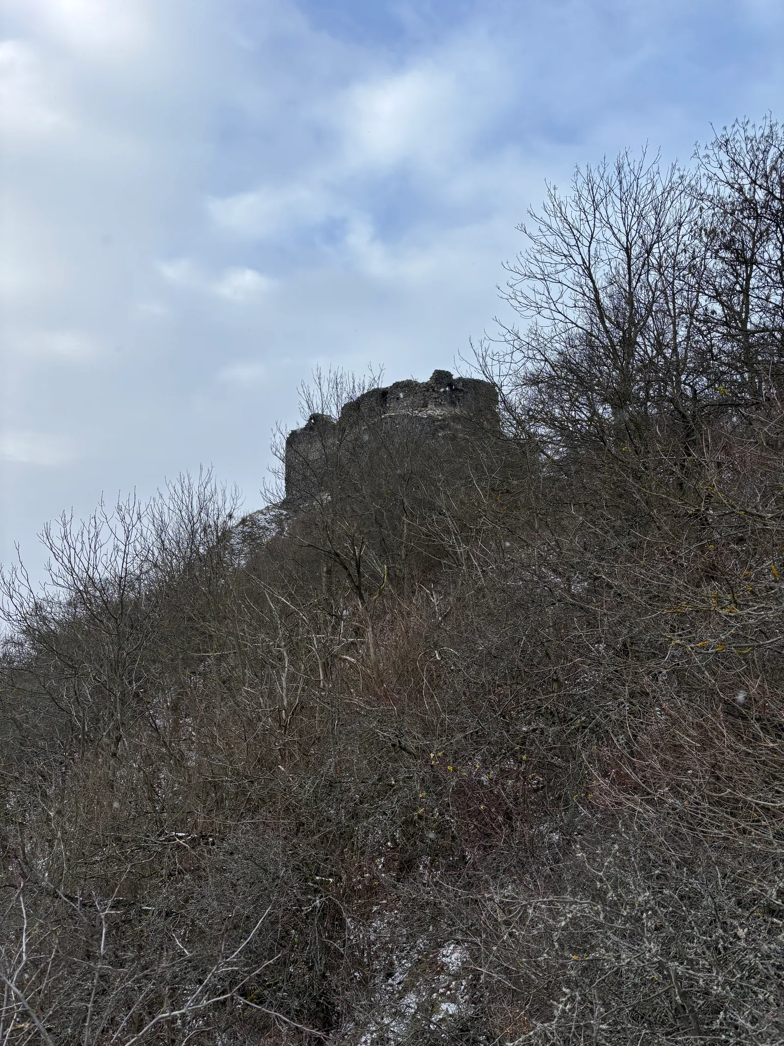
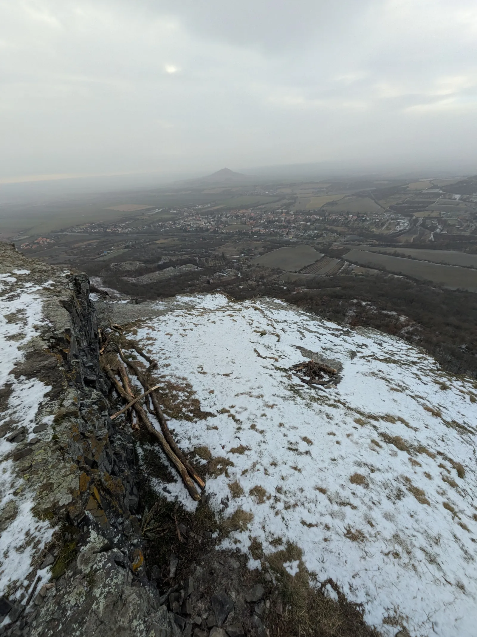
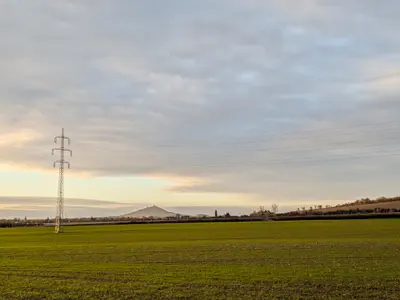
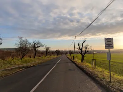
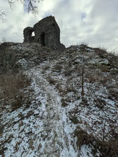
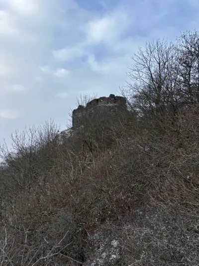
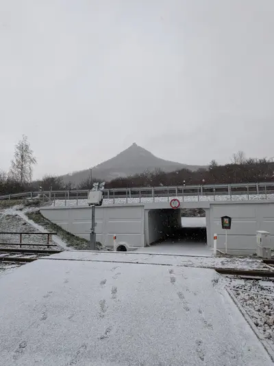
From Lovosice the route slips out of town through Vchynice under the flank of Lovoš and follows the field paths through Radostice towards the ridge. The day’s centrepiece is Košťálov — the bare cone with its ruin visible from half the lower Ohře — and the summit is where the New Year’s tradition happens: a small fire, a few beers, the year’s last view. In December the light is low and the basalt cold, which is most of the charm.
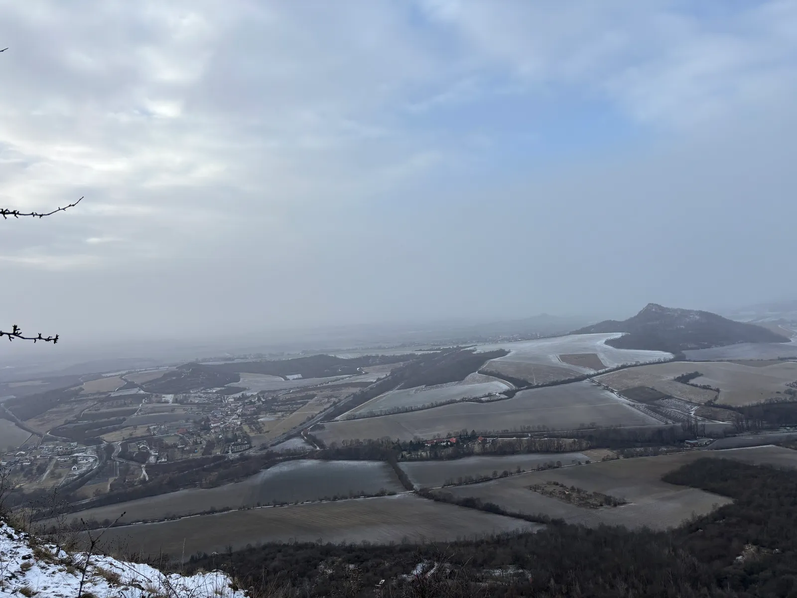
The descent drops to Kololeč on the edge of Třebenice, where the train home runs on the Lovosice–Most line — with Třebívlice one stop further if a pub before the mainline connection appeals.
Practical info
| Start | Lovosice railway station — by train, bus |
|---|---|
| End | Kololeč (Třebenice) — by train, bus |
| Terrain | forest path |
| Links | Open route on Mapy.com |
| GPX | Download track |
On the way
-
Vchynice
The village under the south side of Lovoš that gave the Kinský family its name — Frederick the Great had his headquarters here during the Battle of Lovosice in 1756.
-
Košťálov
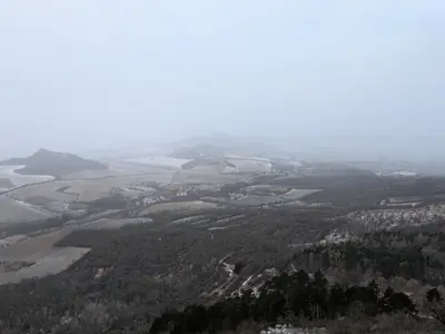
A Gothic castle ruin on the bare basalt cone of Košťál (481 m) above Třebenice — one of the signature silhouettes of the middle České středohoří, freely accessible.
-
Třebenice
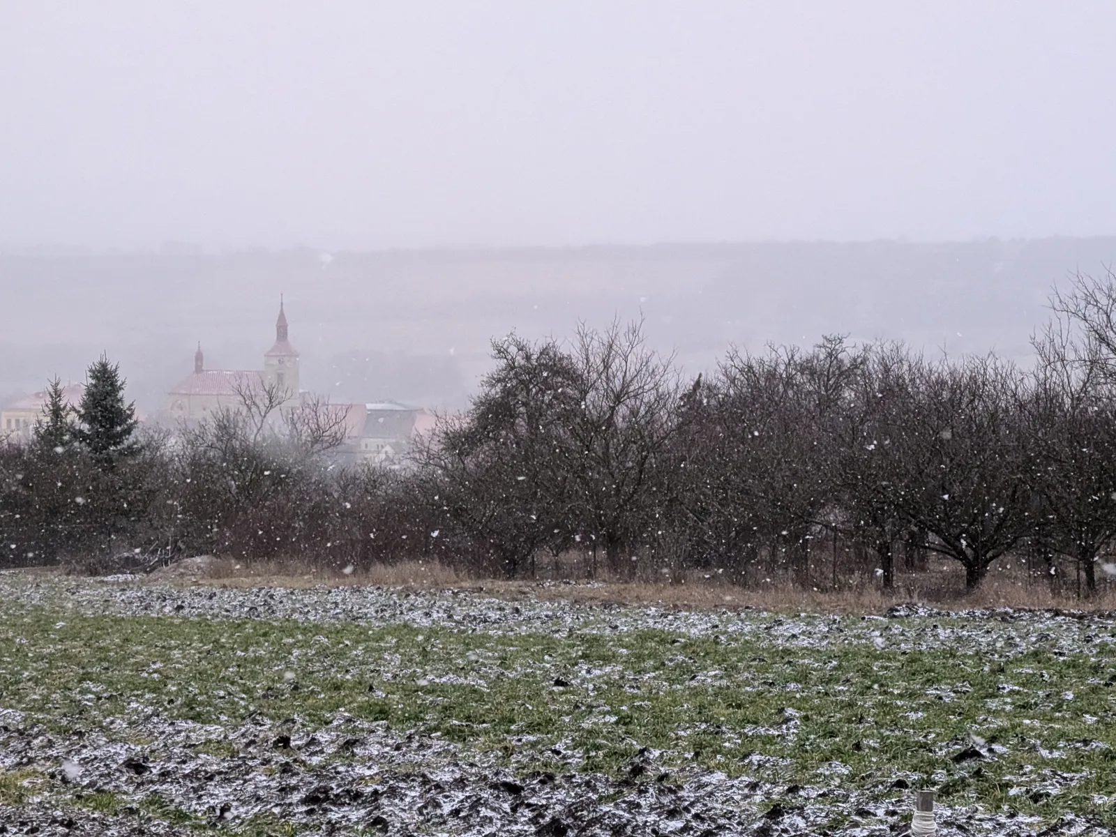
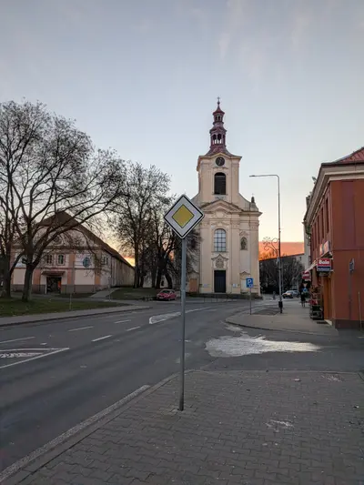
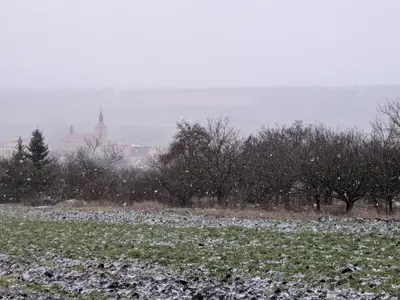
A little town under Košťálov in the fruit-growing belt of the middle hills, home of the Czech Garnet Museum — with rail access along the range's southern edge.
Photos
-
km 0.85 -
km 2.58 -
km 3.56 -
km 6.53 -
km 8.37 -
-
km 10.02 -
km 10.79 -