Milešovka, the Classic Way
České středohoří · Point to point · hiked 3 January 2026
The signature short hike of the Středohoří — 13.8 km from Oparno through Velemín up Milešovka, the range's highest peak, and down to Bílý Újezd.
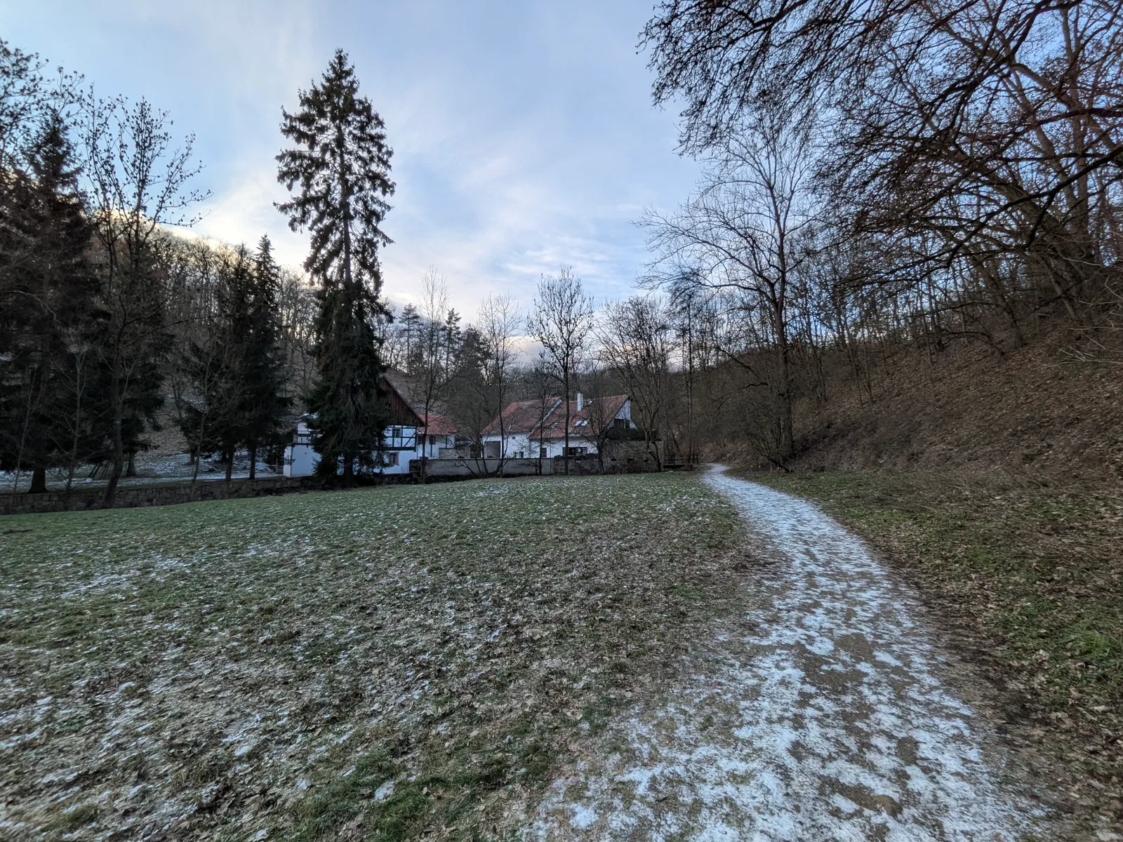
The train does most of the logistics here: the Oparno rail halt drops you straight into the Opárenské údolí, and the first kilometres are a warm-up worth savouring — the path out of the valley is genuinely pretty, and the freely accessible Oparno castle ruin sits a few minutes above the village for anyone warming up slowly.
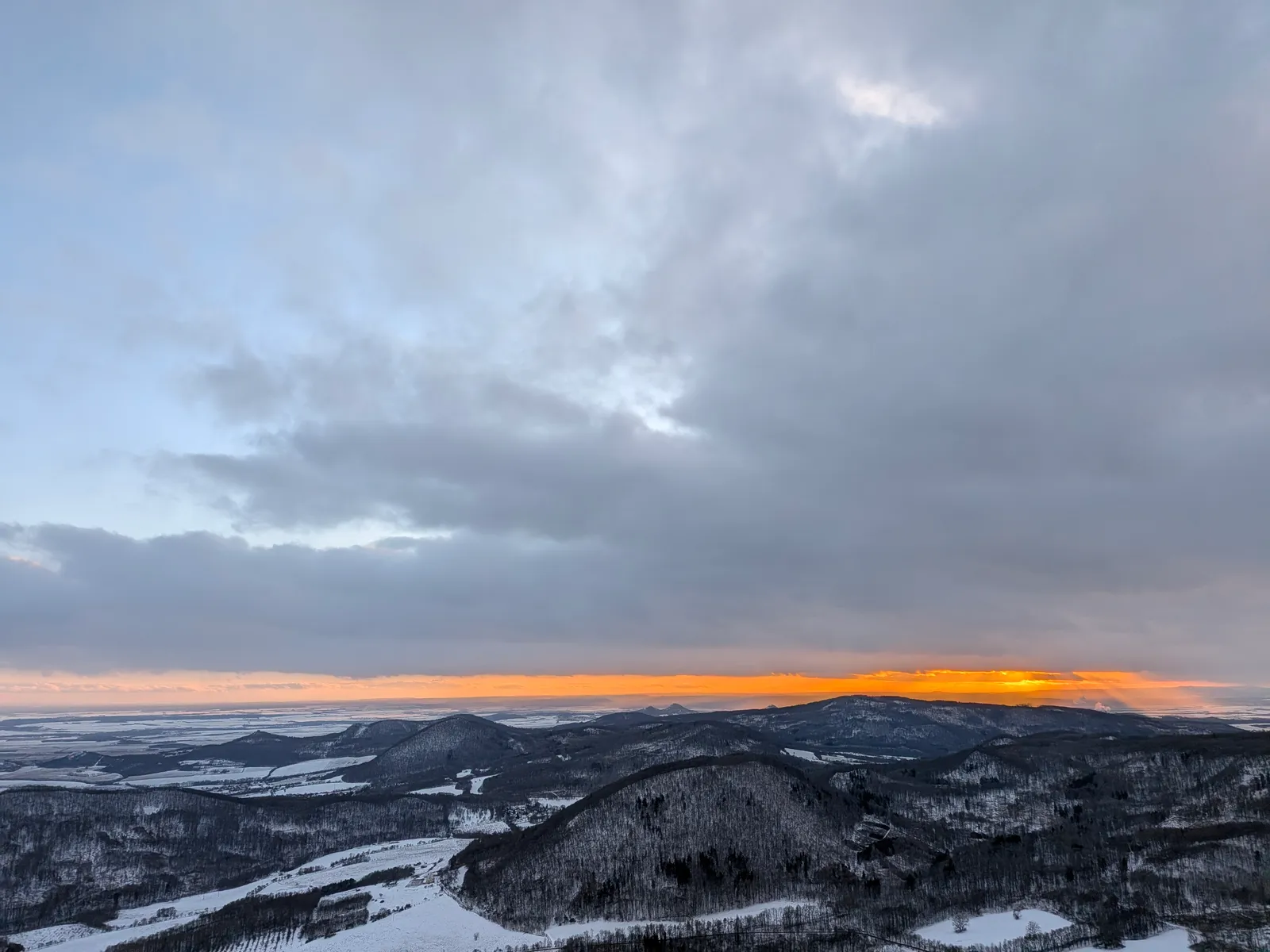
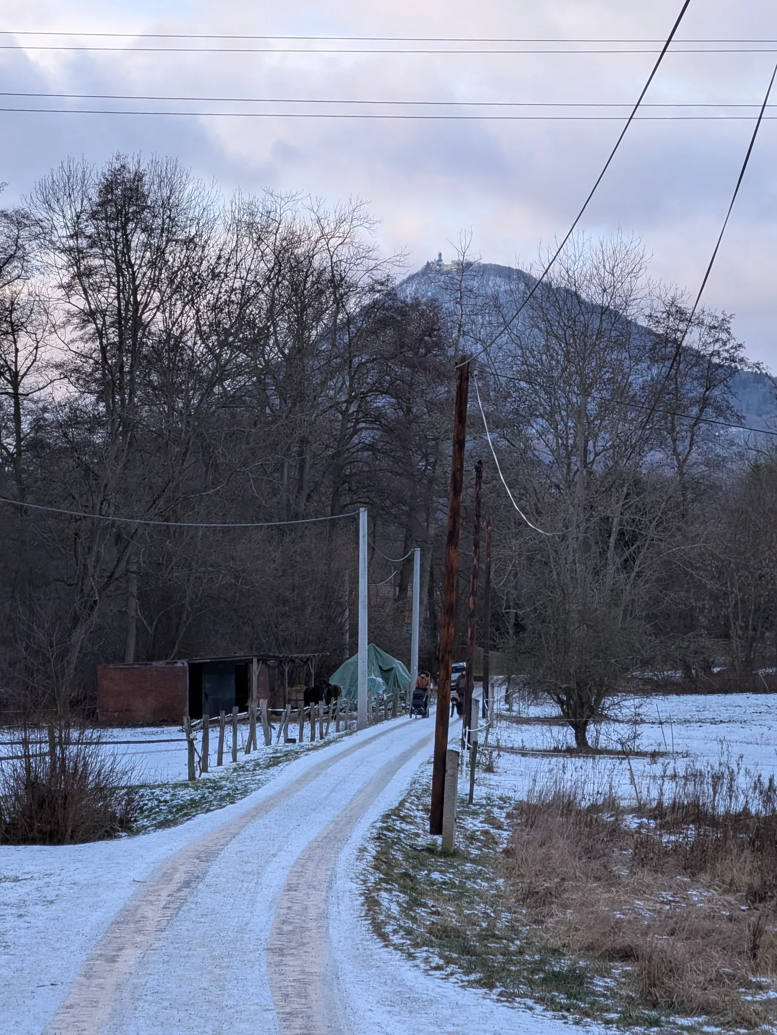
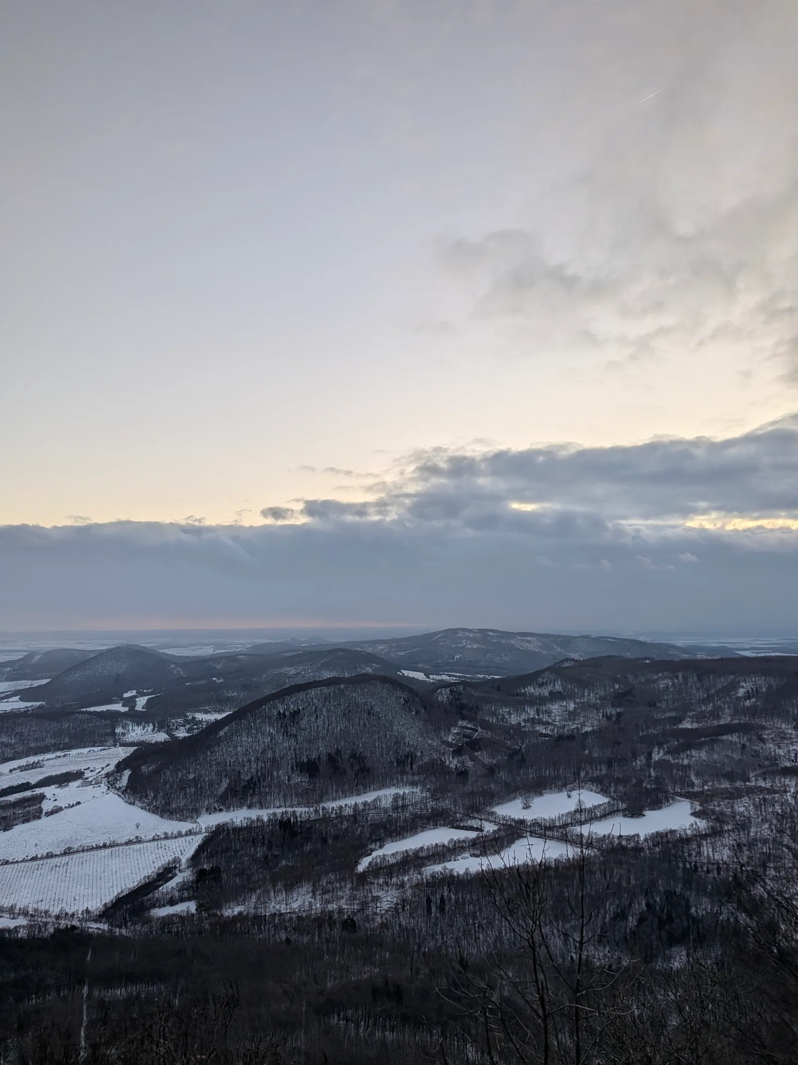
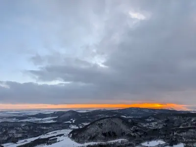
Velemín is the last services before the hill; from there the route starts the real work. The climb to Milešovka gains most of the day’s 600 m in one sustained pull through the woods, and the summit delivers what the highest point of the range should — the observatory tower, the full panorama from the Krušné hory to Říp, and in January the wind that made this officially the stormiest place in Bohemia. The descent drops to Bílý Újezd under its Gothic tvrz, with bus and rail connections back towards Lovosice.
Practical info
| Start | Oparno railway stop — by train |
|---|---|
| End | Bílý Újezd — by train, bus |
| Terrain | forest path |
| Links | Open route on Mapy.com |
| GPX | Download track |
On the way
-
Oparno
The village above the Opárenské údolí valley, with a freely accessible Gothic castle ruin on its wooded spur and a rail halt on the Lovosice–Teplice line.
-
Velemín
The service village on the southern side of Milešovka — bus connections from Prague, Lovosice, Litoměřice and Teplice make it the classic starting point for the highest hill of the range.
-
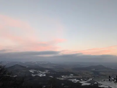
Milešovka
The highest peak of the České středohoří (837 m) and the windiest place in the Czech Republic, topped by a meteorological observatory measuring continuously since 1905.
-
Bílý Újezd
A village at the foot of the Milešovka group, first recorded in 1276, with a preserved Gothic stronghold of the Kaplíř family — a waypoint on the walking routes from Velemín.
Photos
-
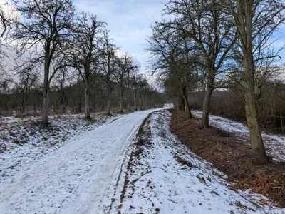
km 4.75 -
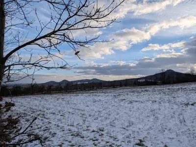
km 12 -
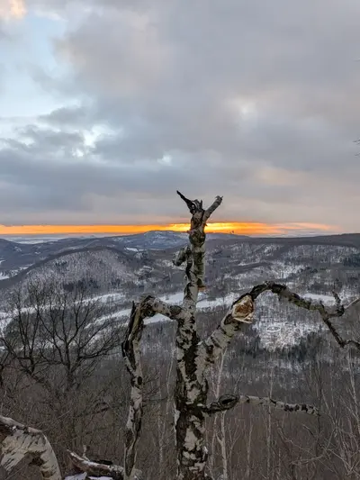
km 8.14 -
km 8.31 -
km 10.12 -
km 13.69 -
-