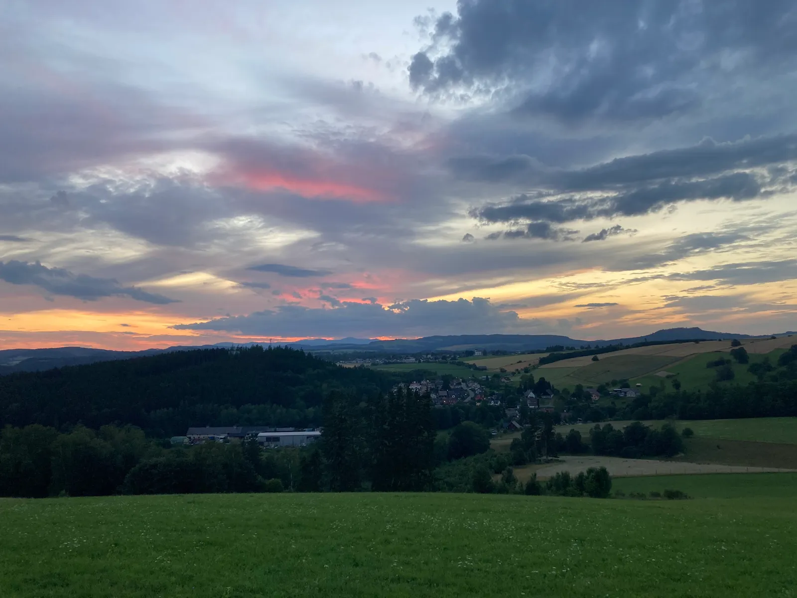
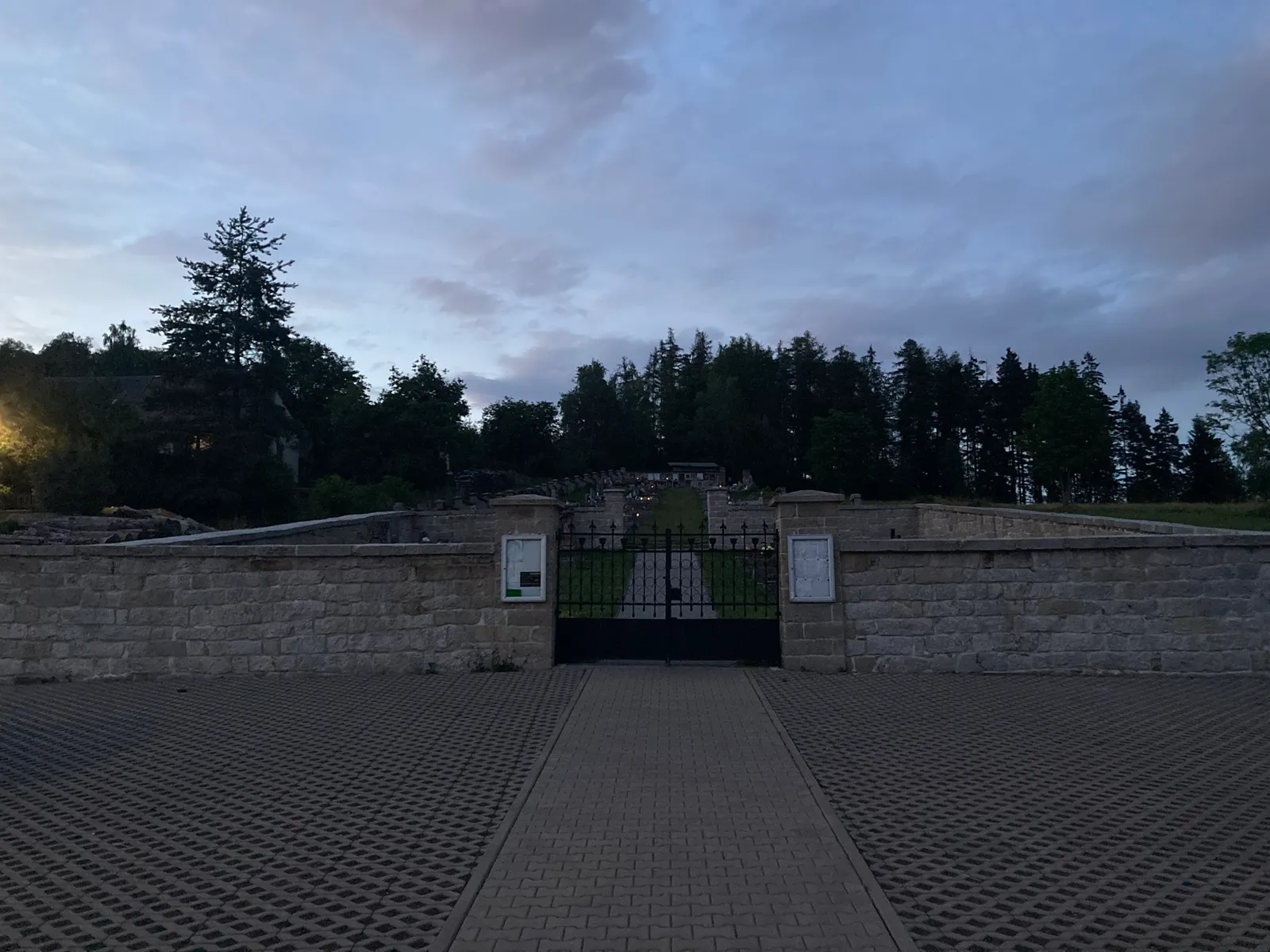
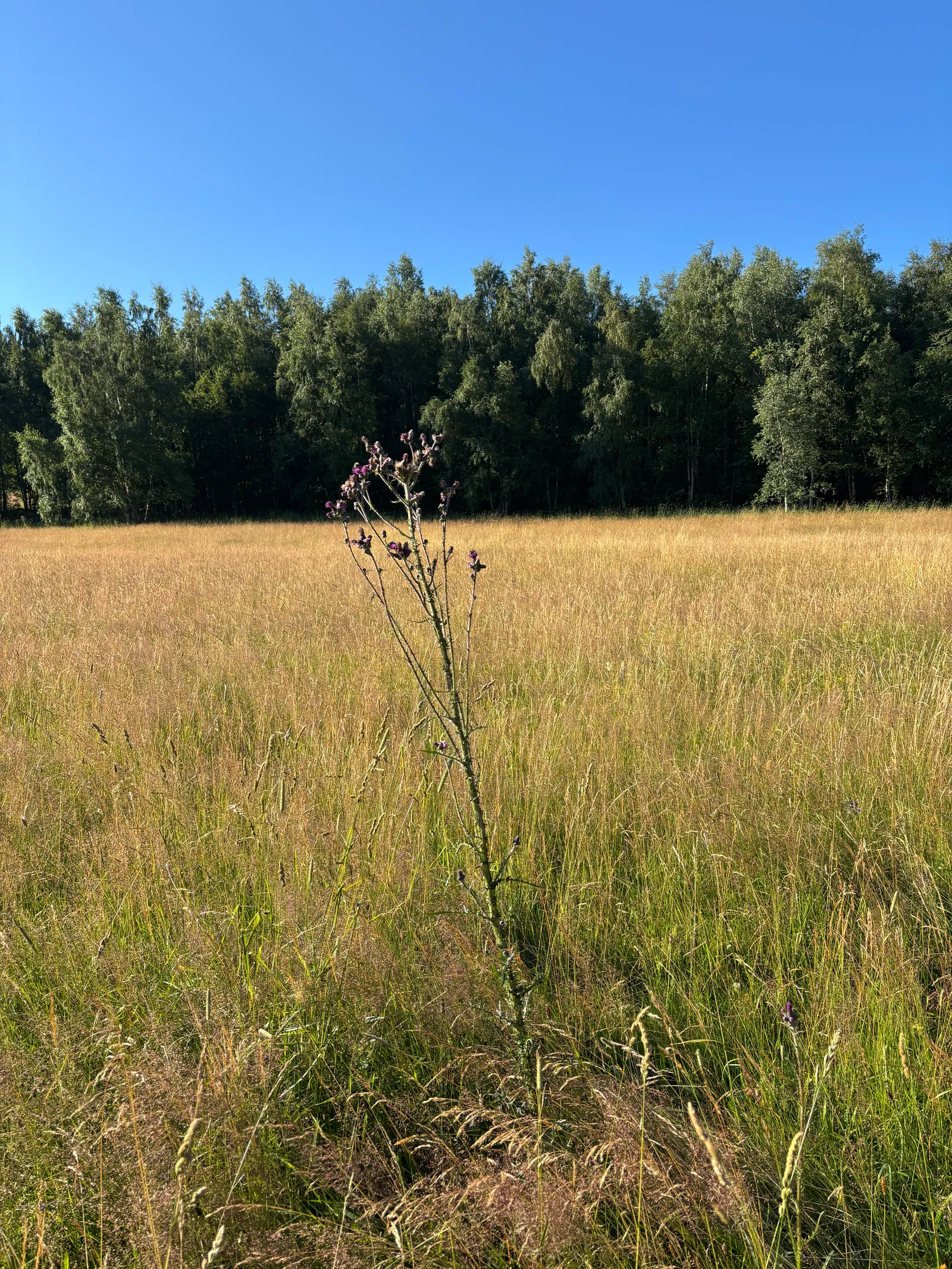
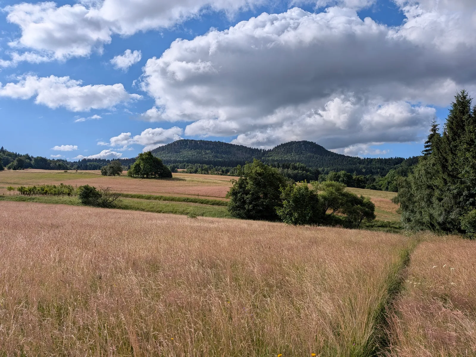
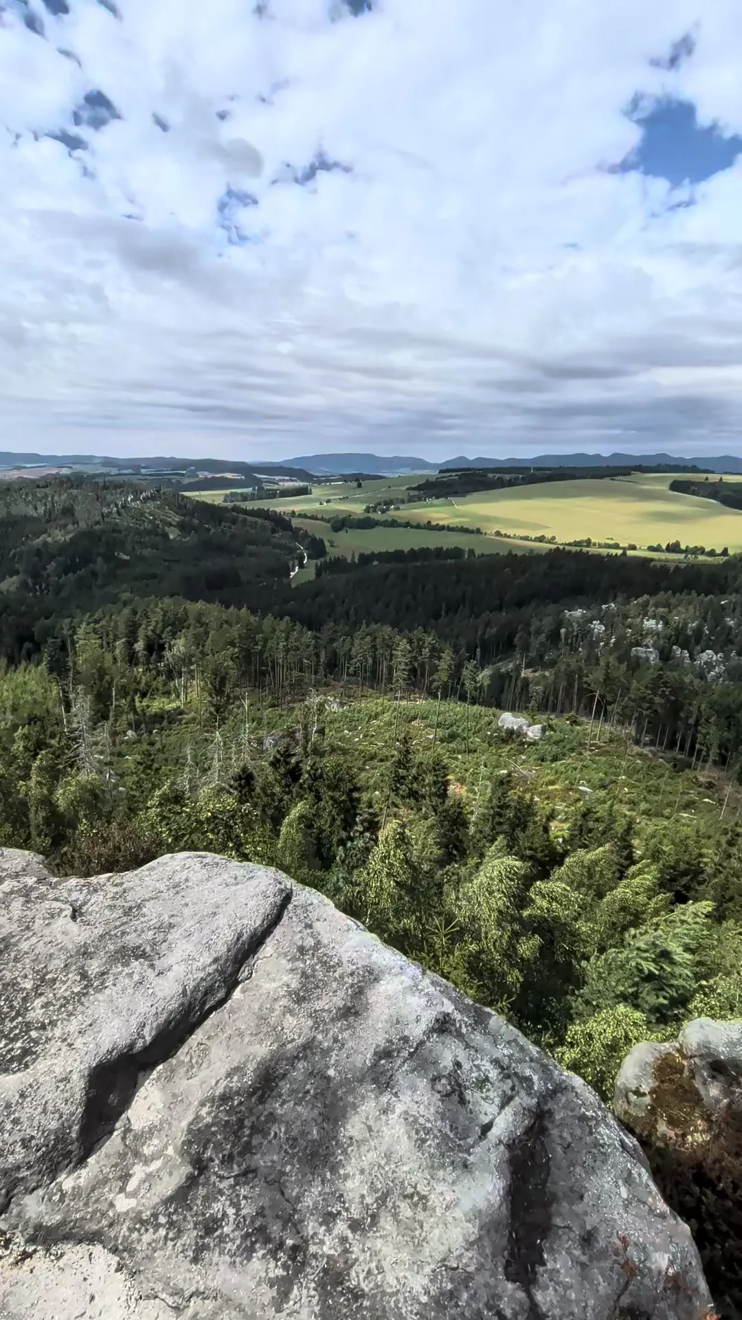
Three Days on the Broumov Walls
Broumovsko , Point to point , hiked July 2026
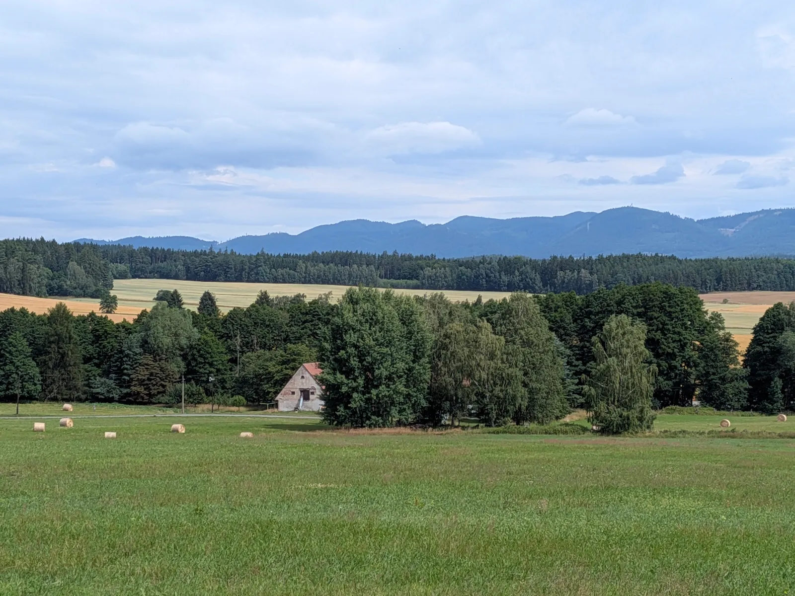
A 60.2 km three-day sandstone crossing. Błędne skały, a night in Pasterka, the length of the Broumovské stěny to Broumov, and Ostaš to finish.
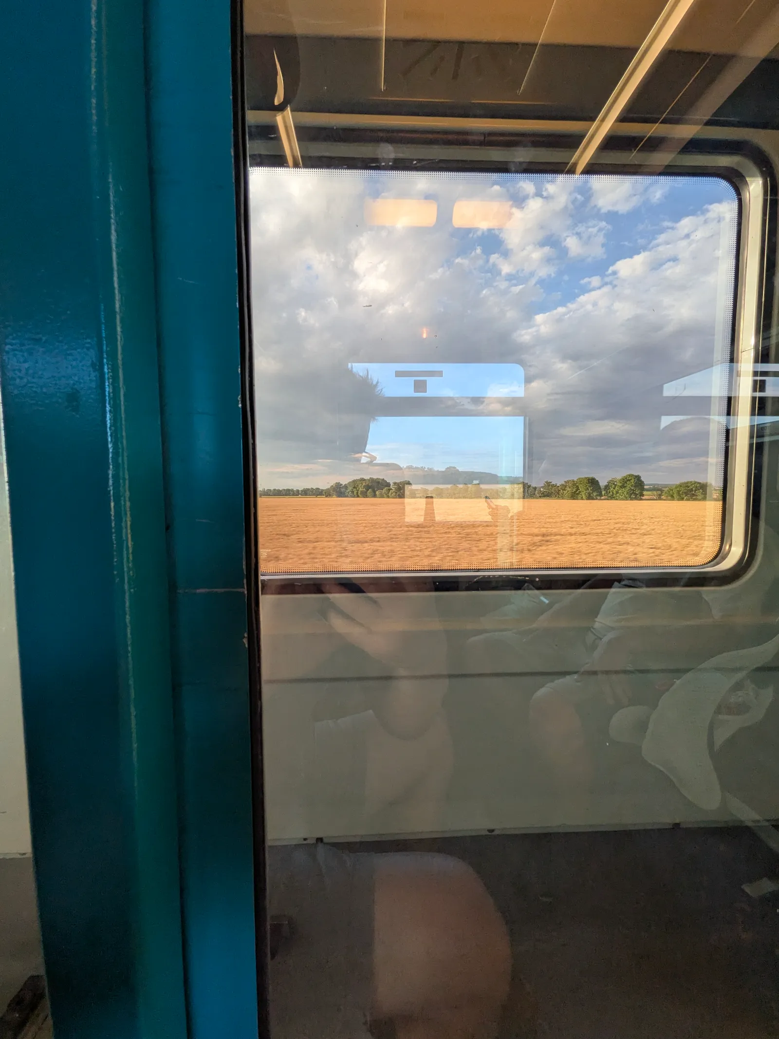
This is three days of sandstone on both sides of the border, with 1800 m of climbing spread evenly, so no single day is too hard. Getting to the start is a small journey in itself. You take the train to Náchod, then the bus over the border to Kudowa-Zdrój.
Day 1: Kudowa-Zdrój to Pasterka
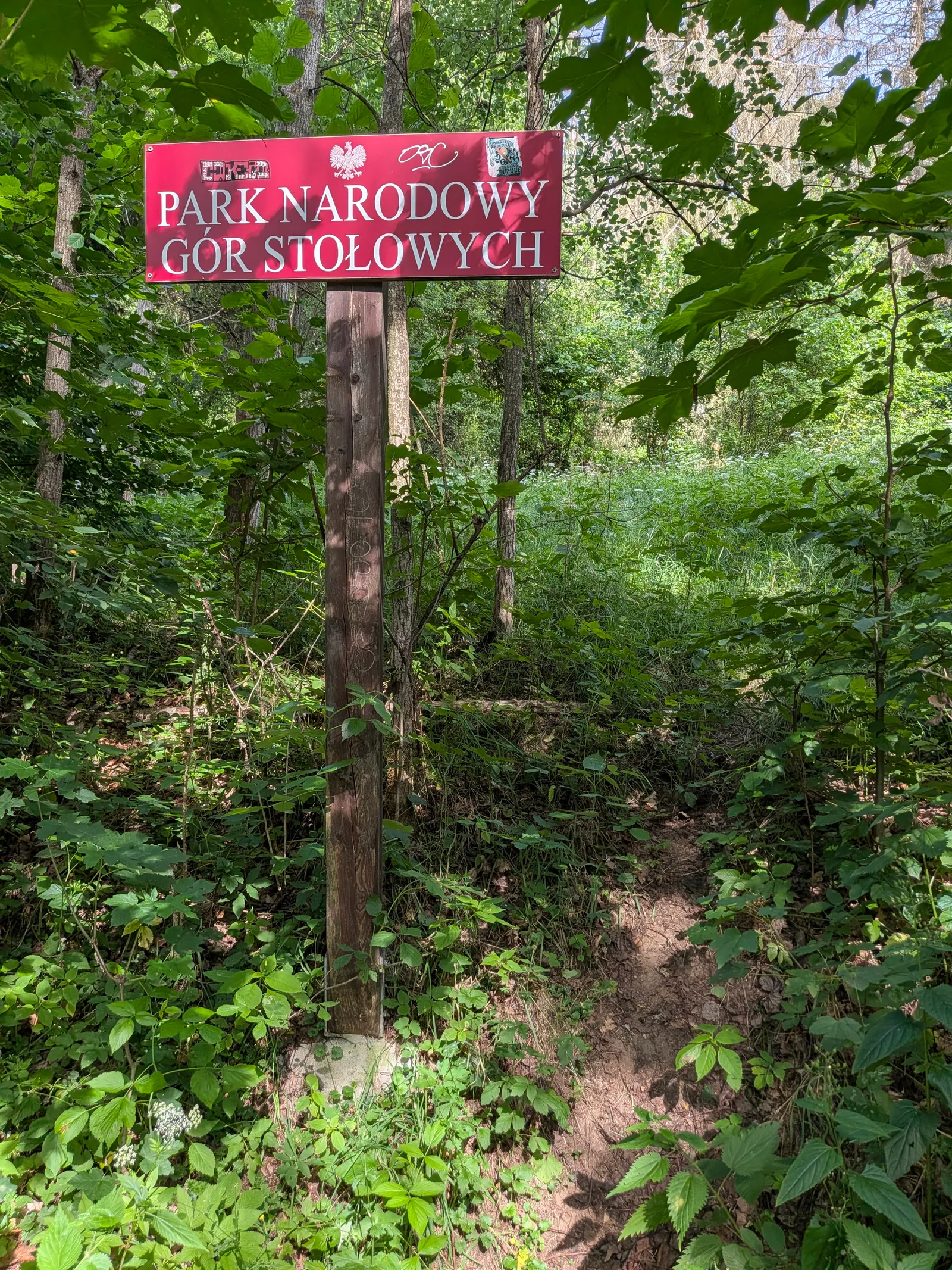
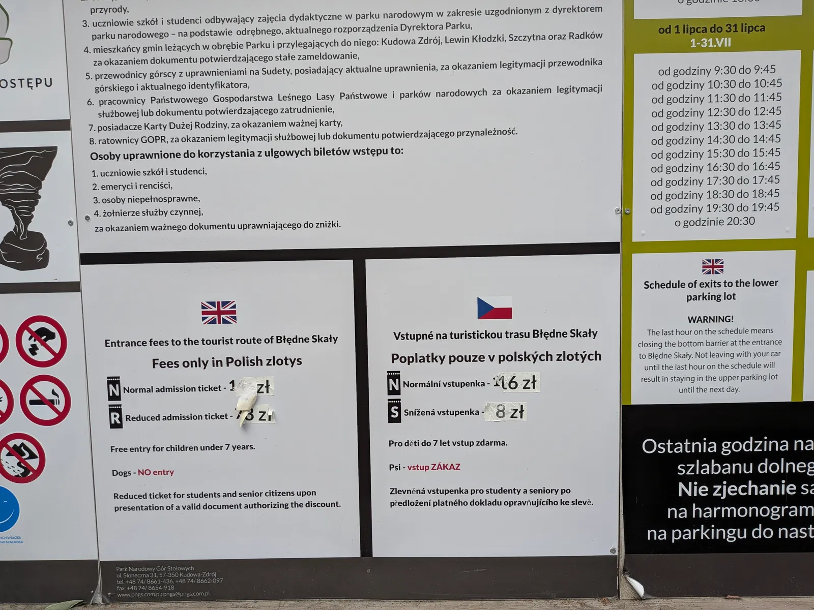
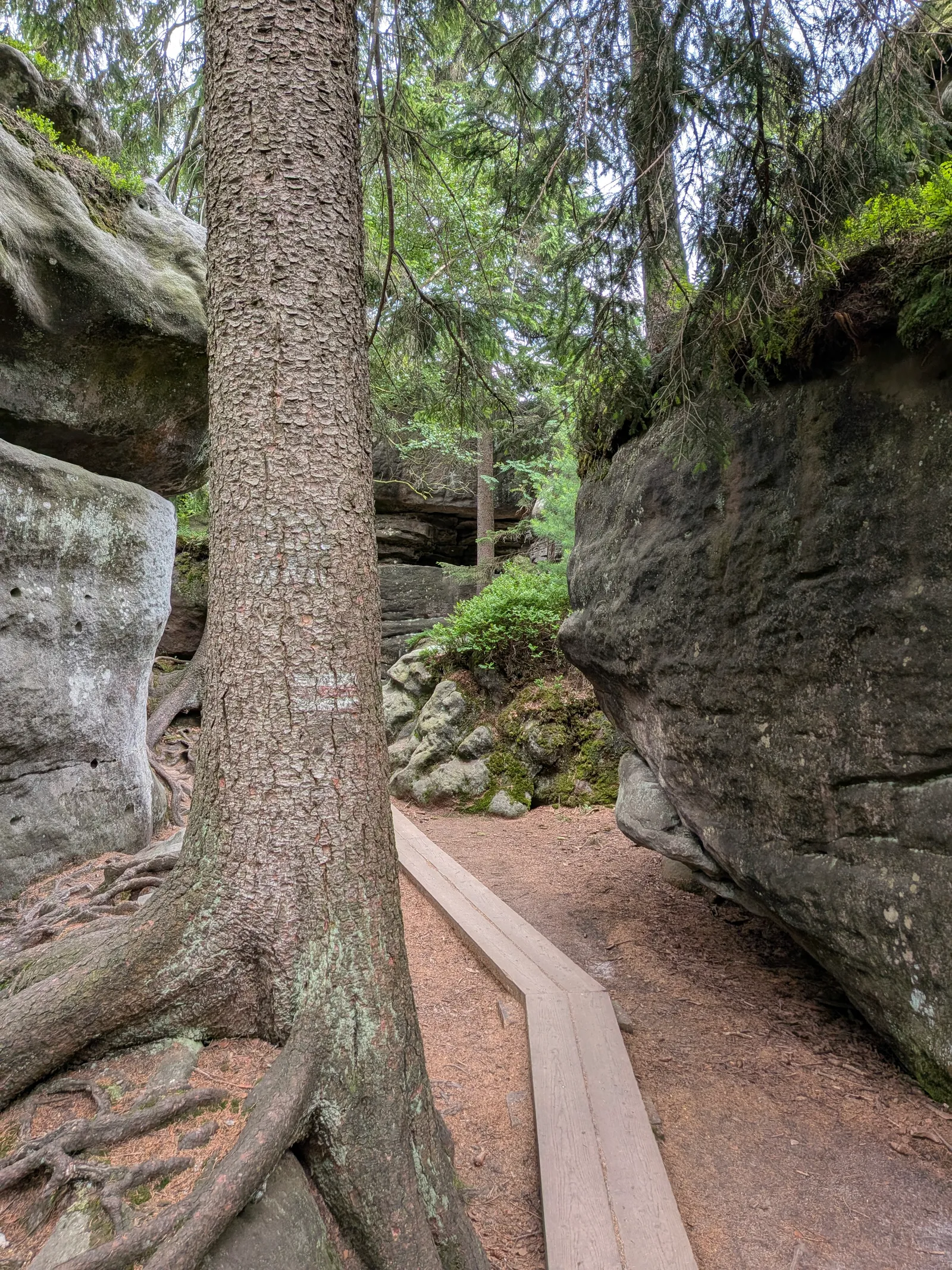
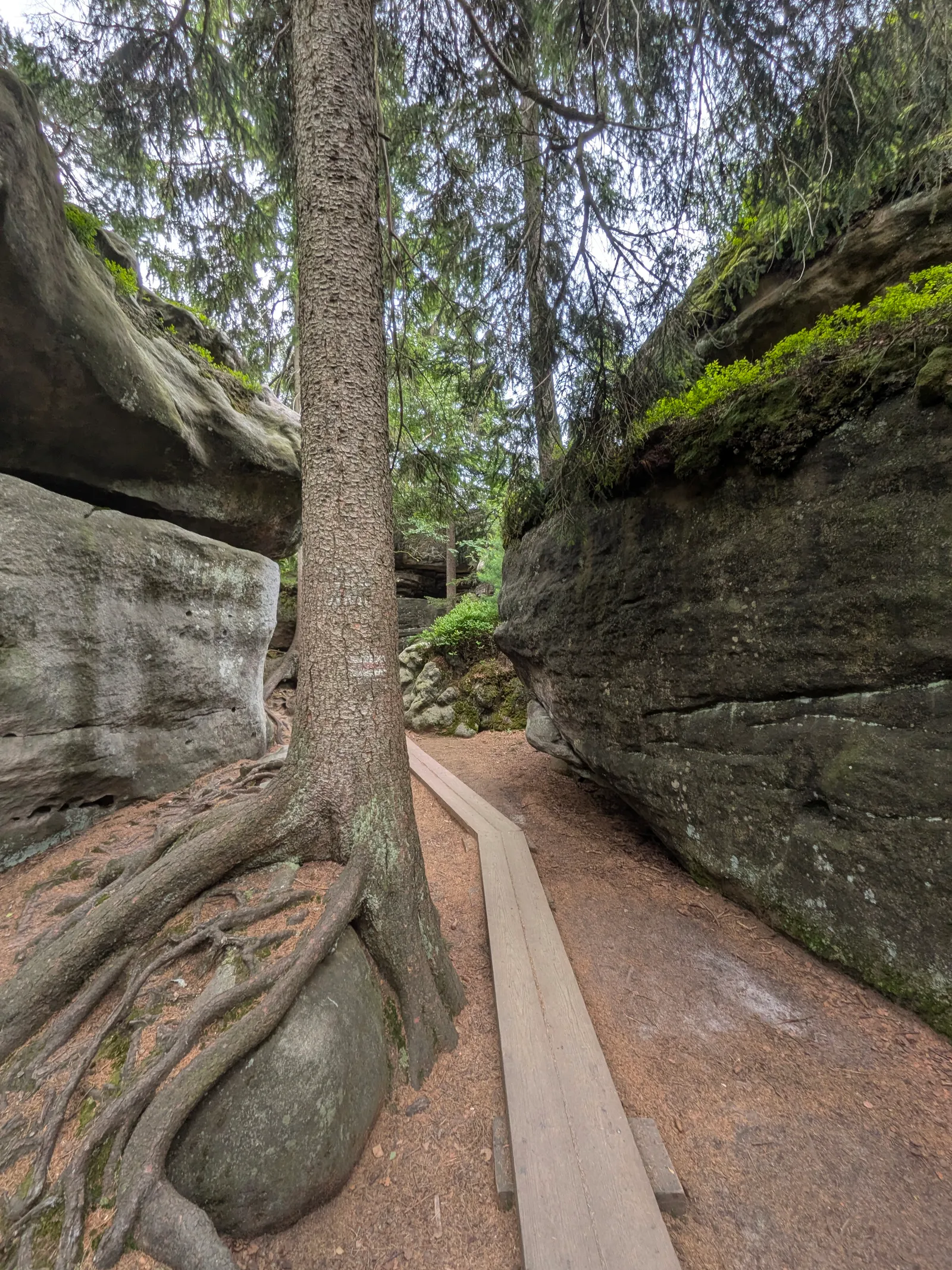
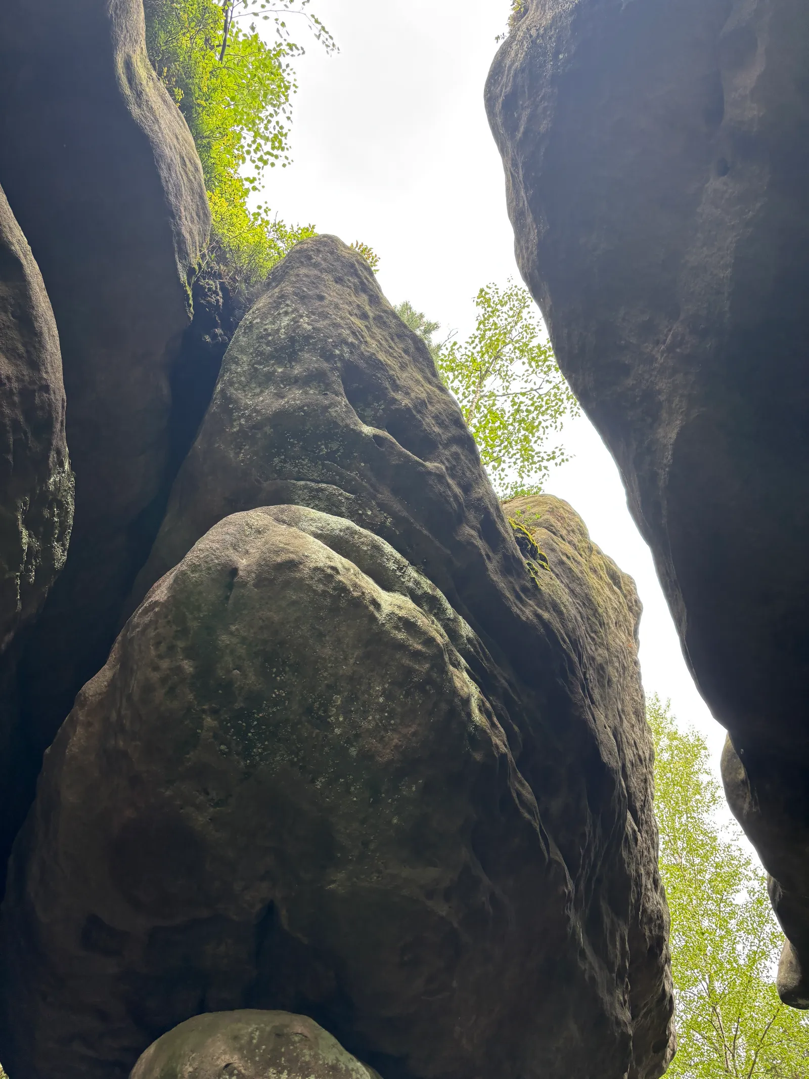
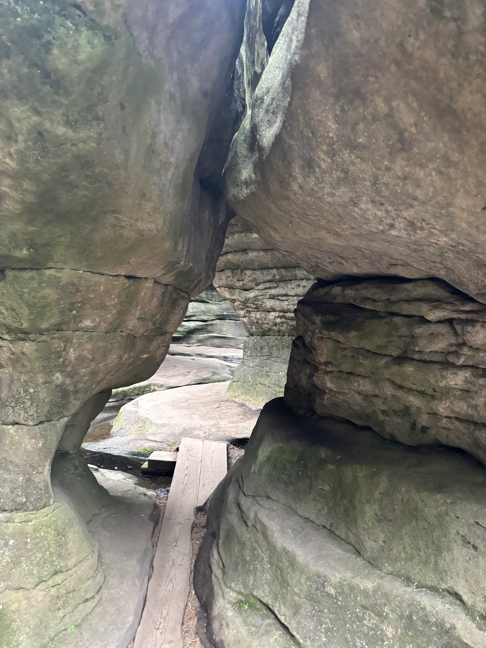
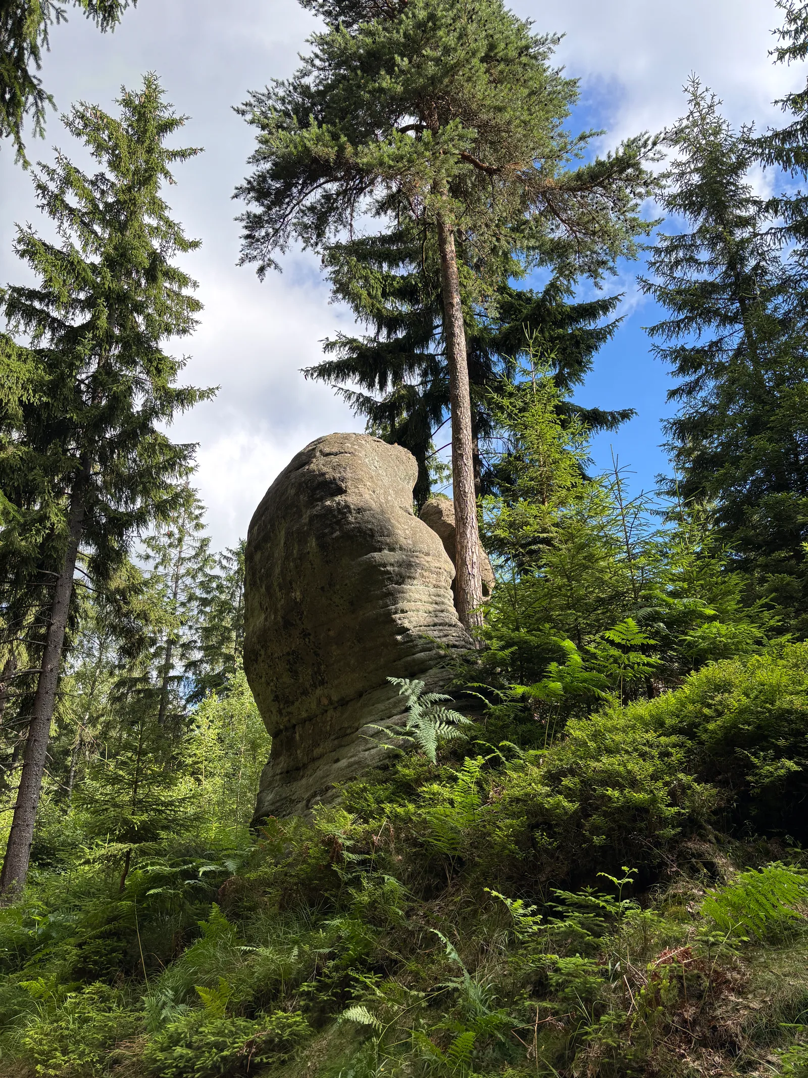
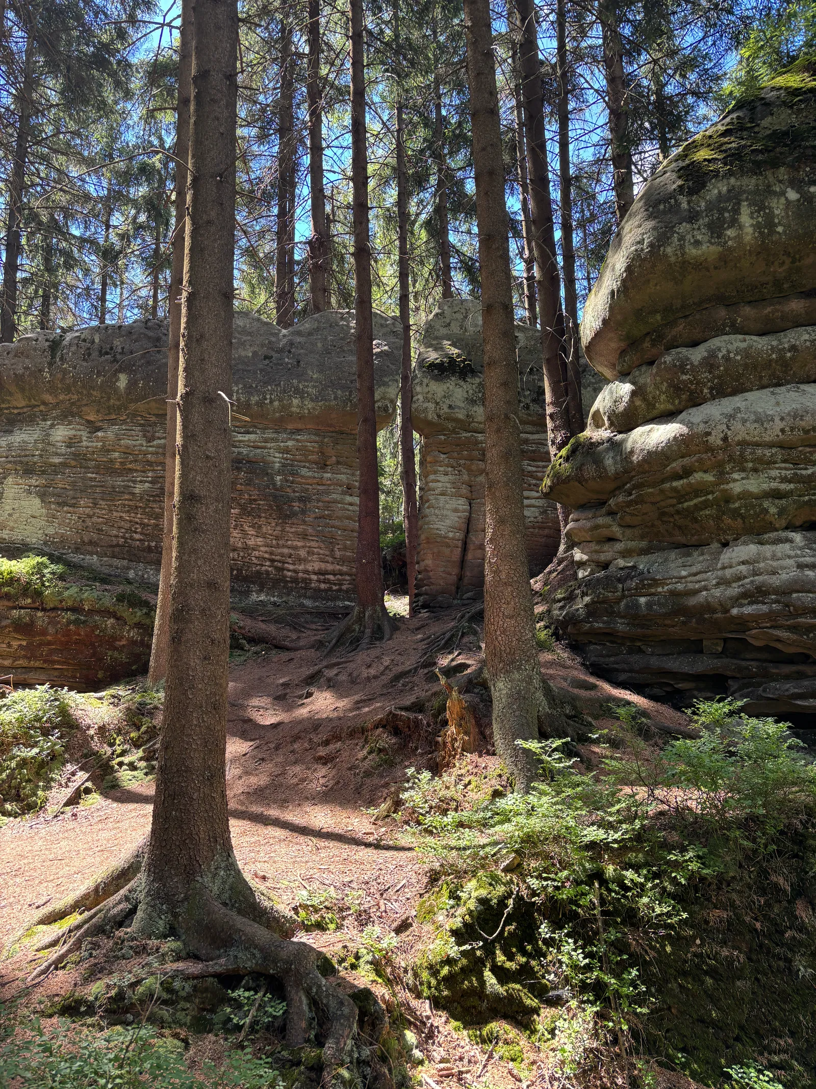
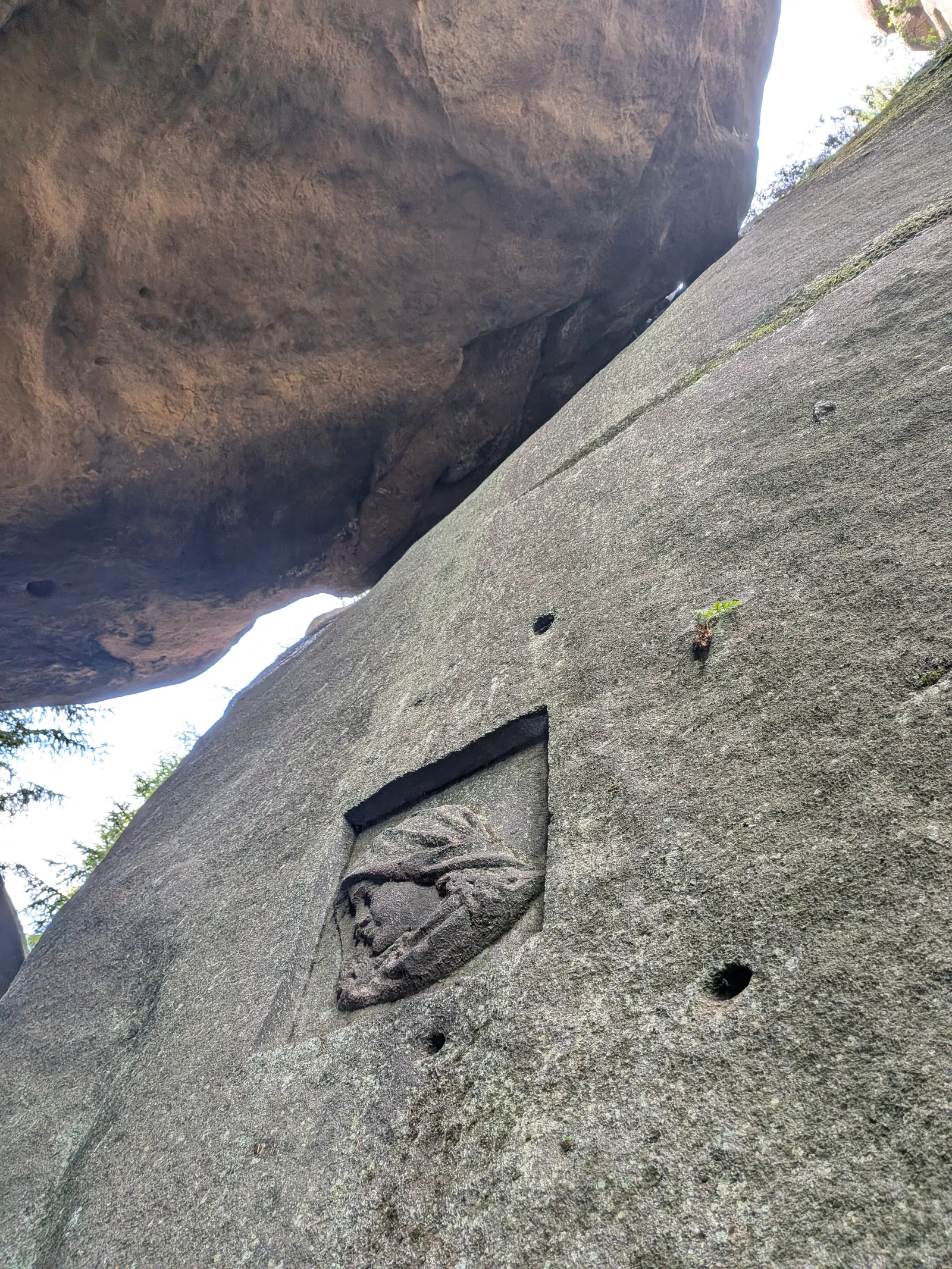
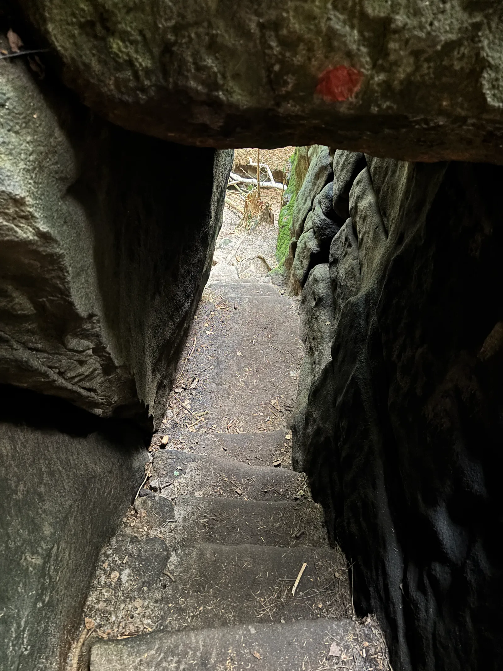
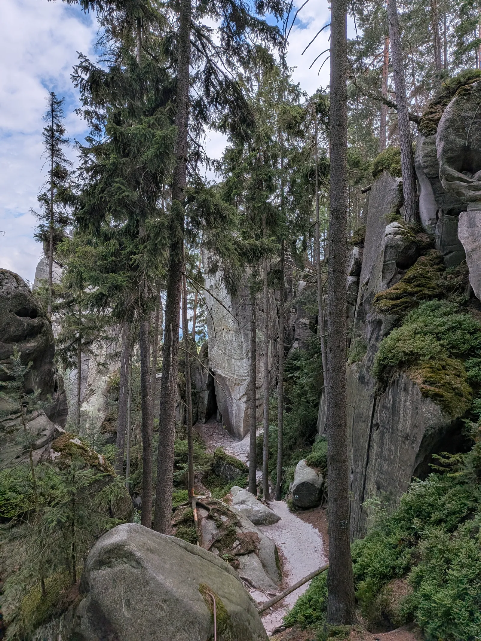
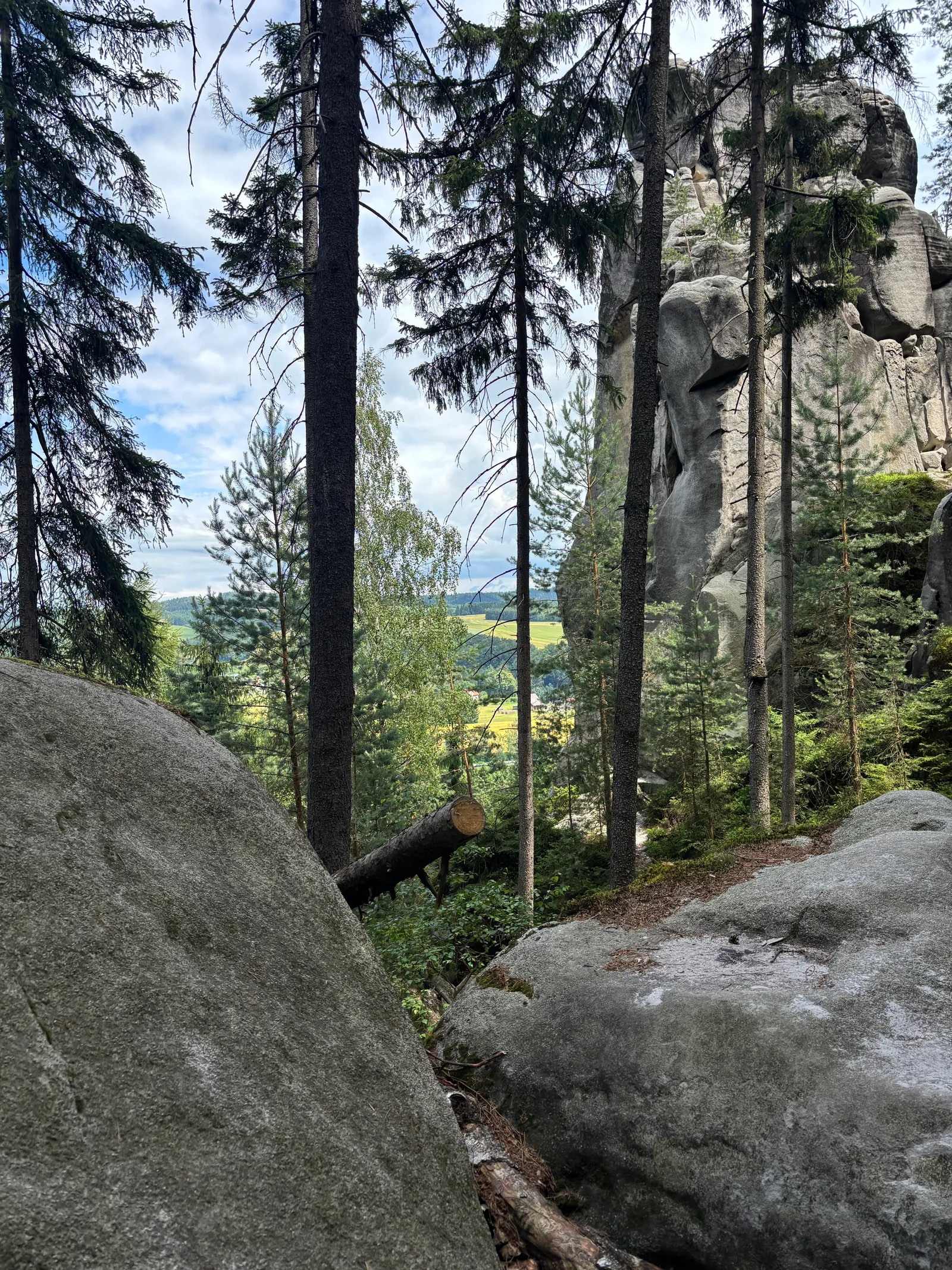
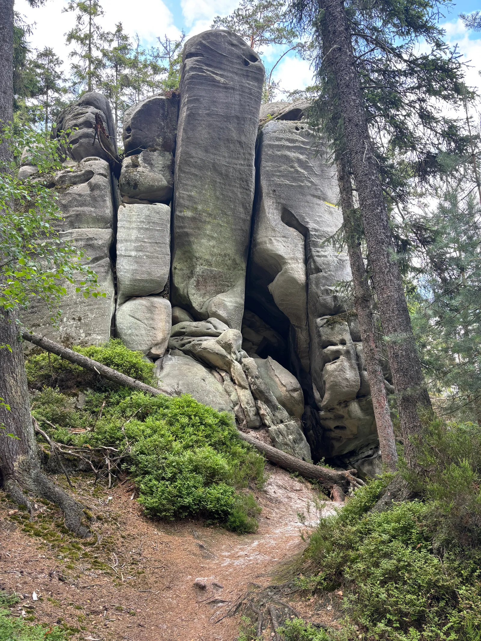
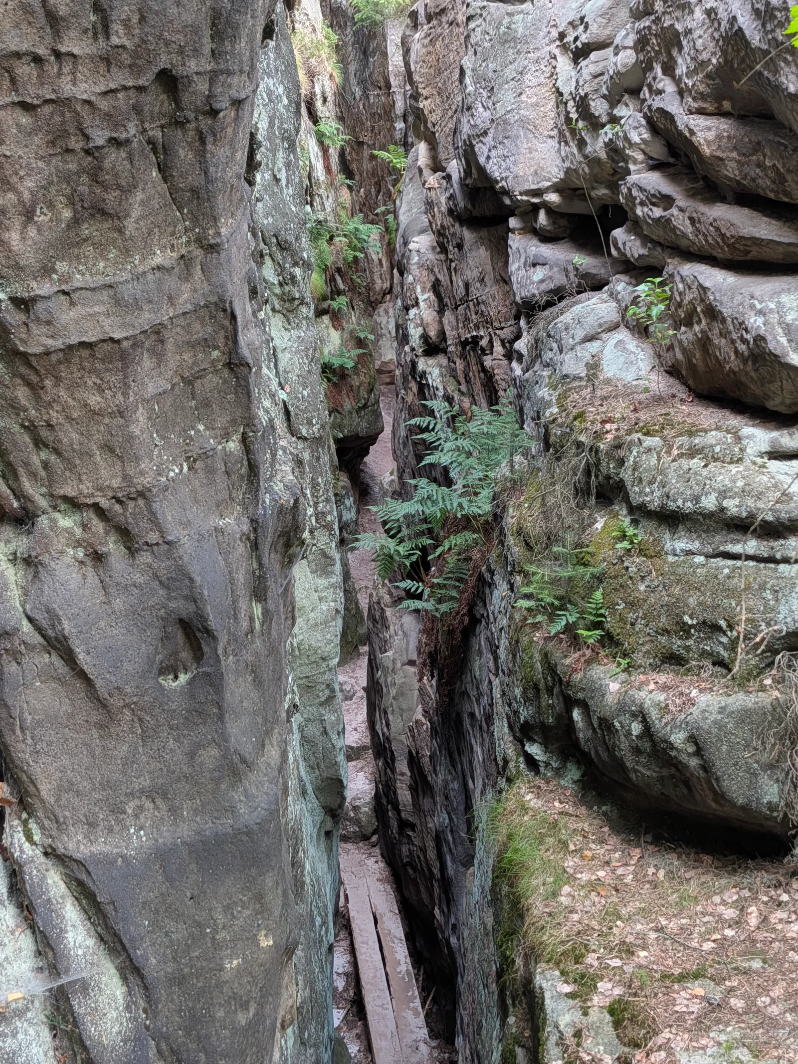
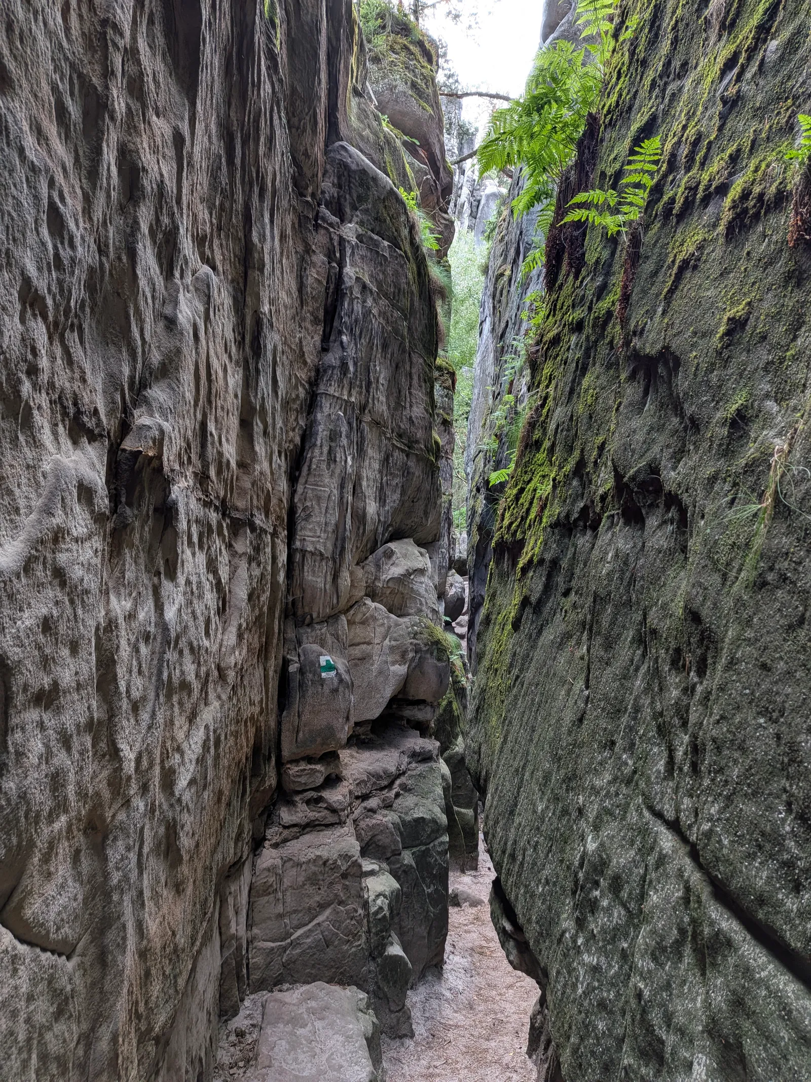
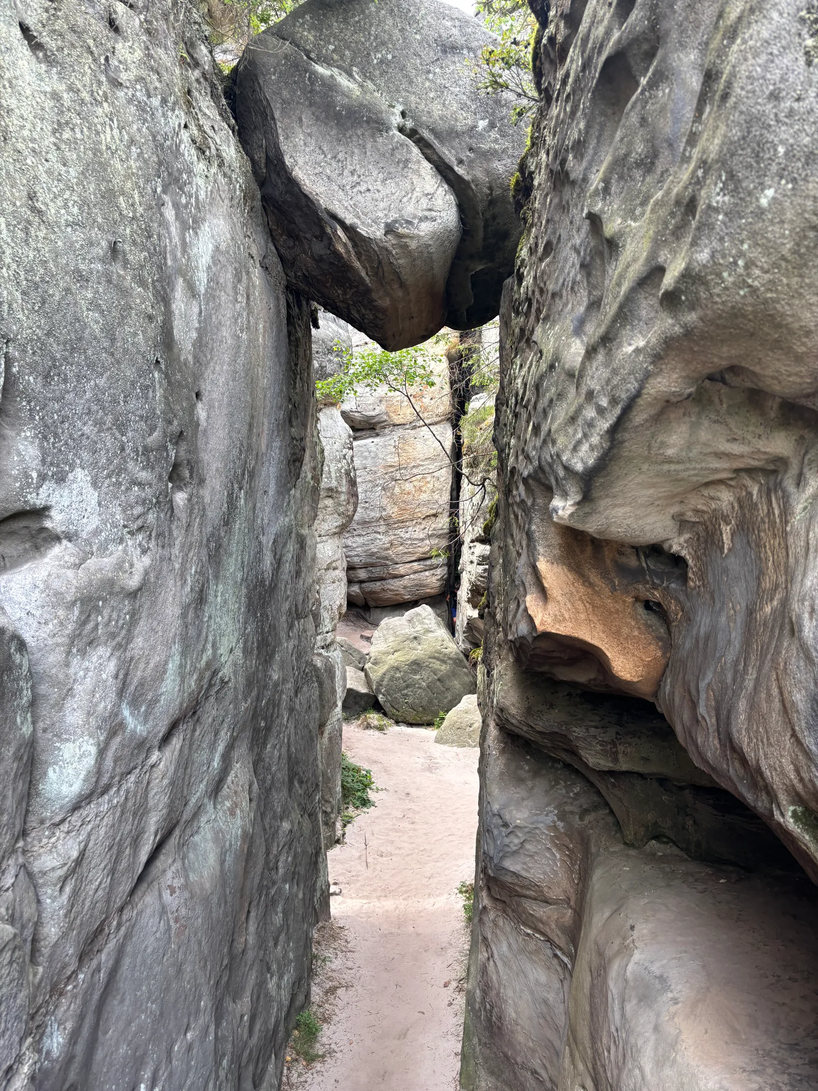
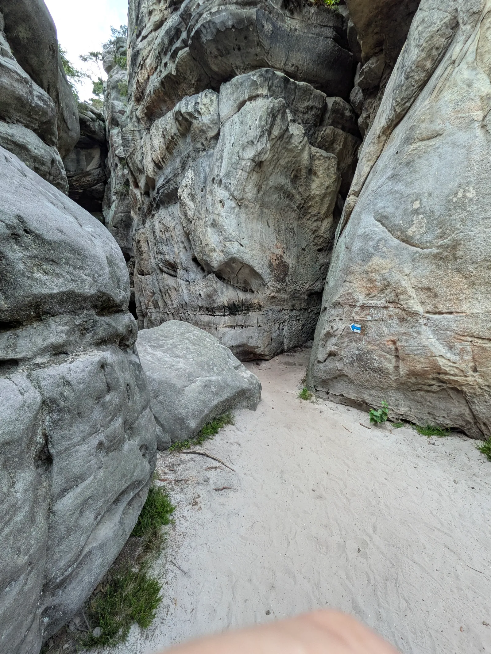
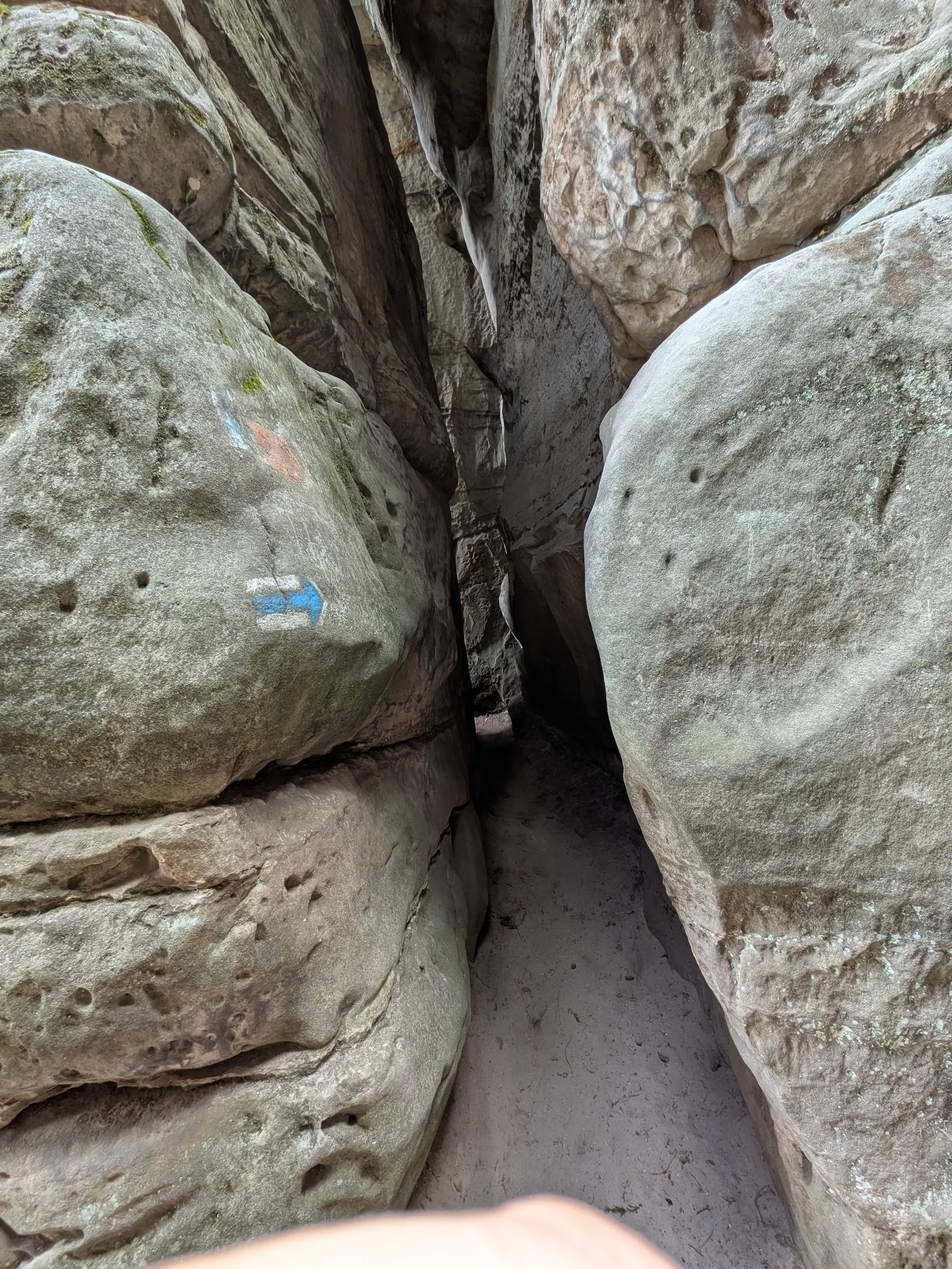
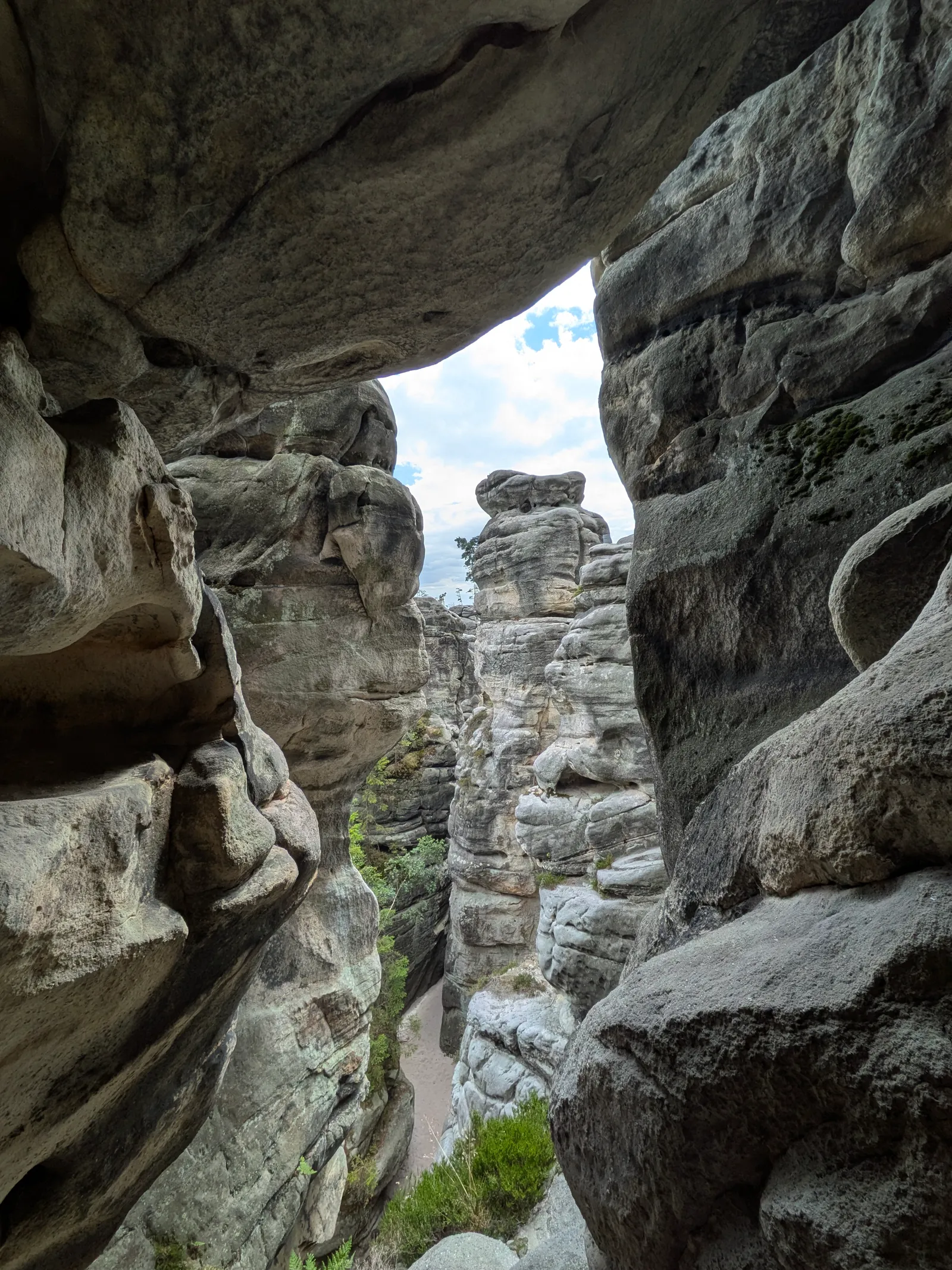
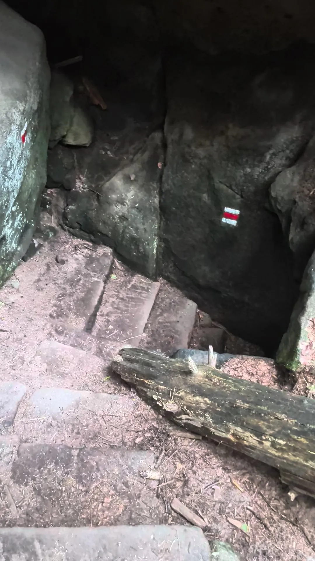
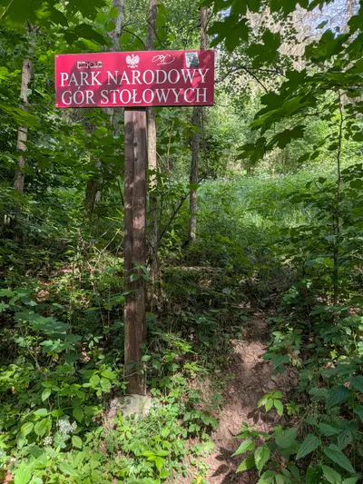
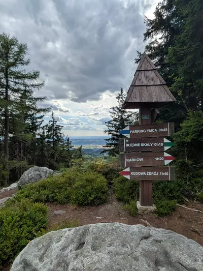
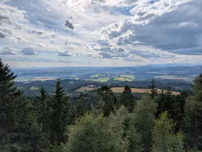
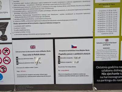
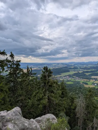
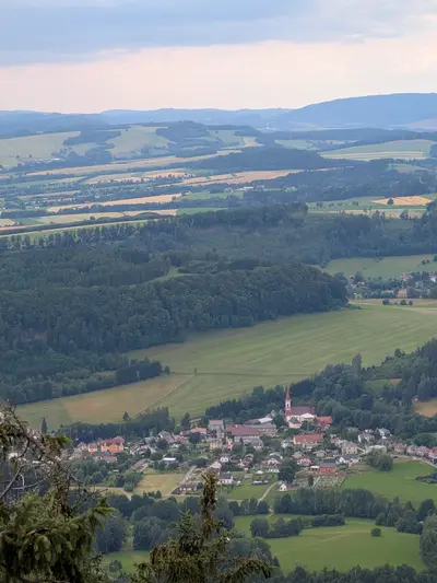
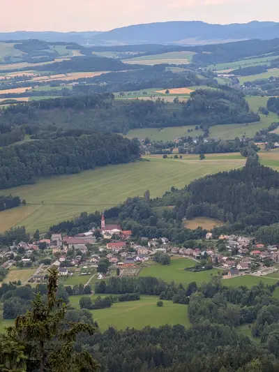
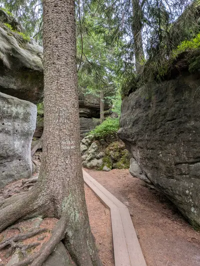
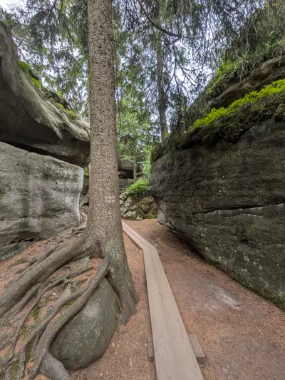
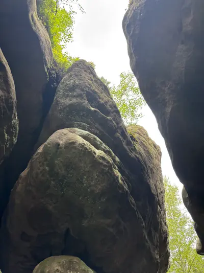
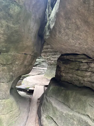
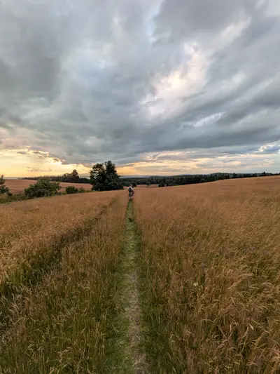
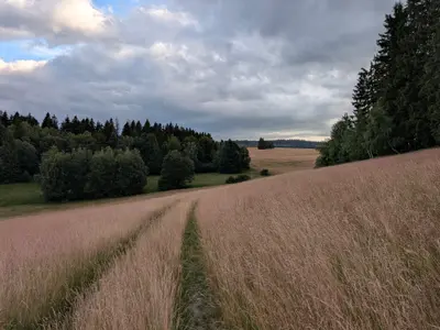
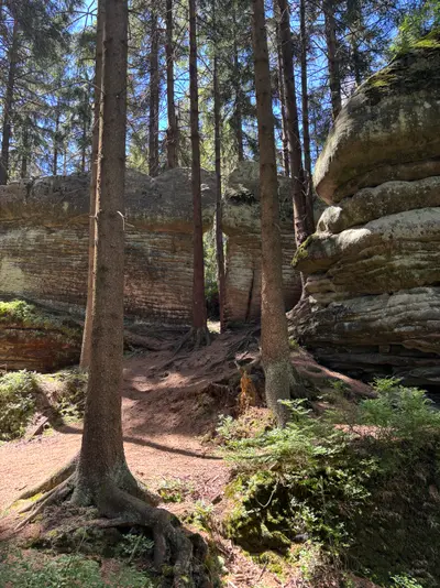
The first day is the Polish one. From the spa town the route climbs into the Góry Stołowe national park to Błędne skały, where a one-way circuit squeezes between mushroom-shaped rocks. The trip starts with some of its best scenery. From the labyrinth the trail drops through border woods to Pasterka, a Polish hamlet of a few houses with a proper mountain hut. A bed and dinner there are a good end to the day.
Day 2: the length of the stěny to Broumov
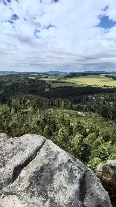
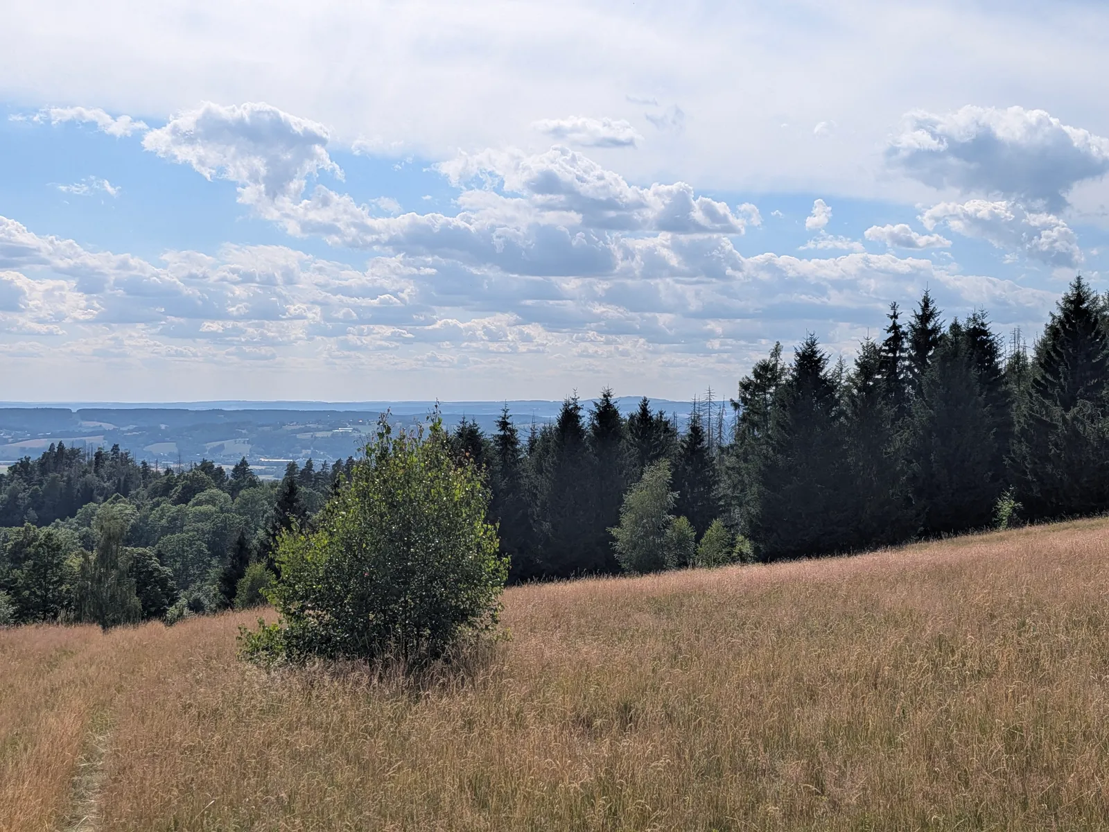
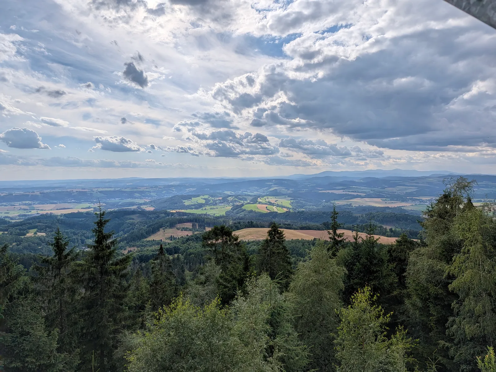
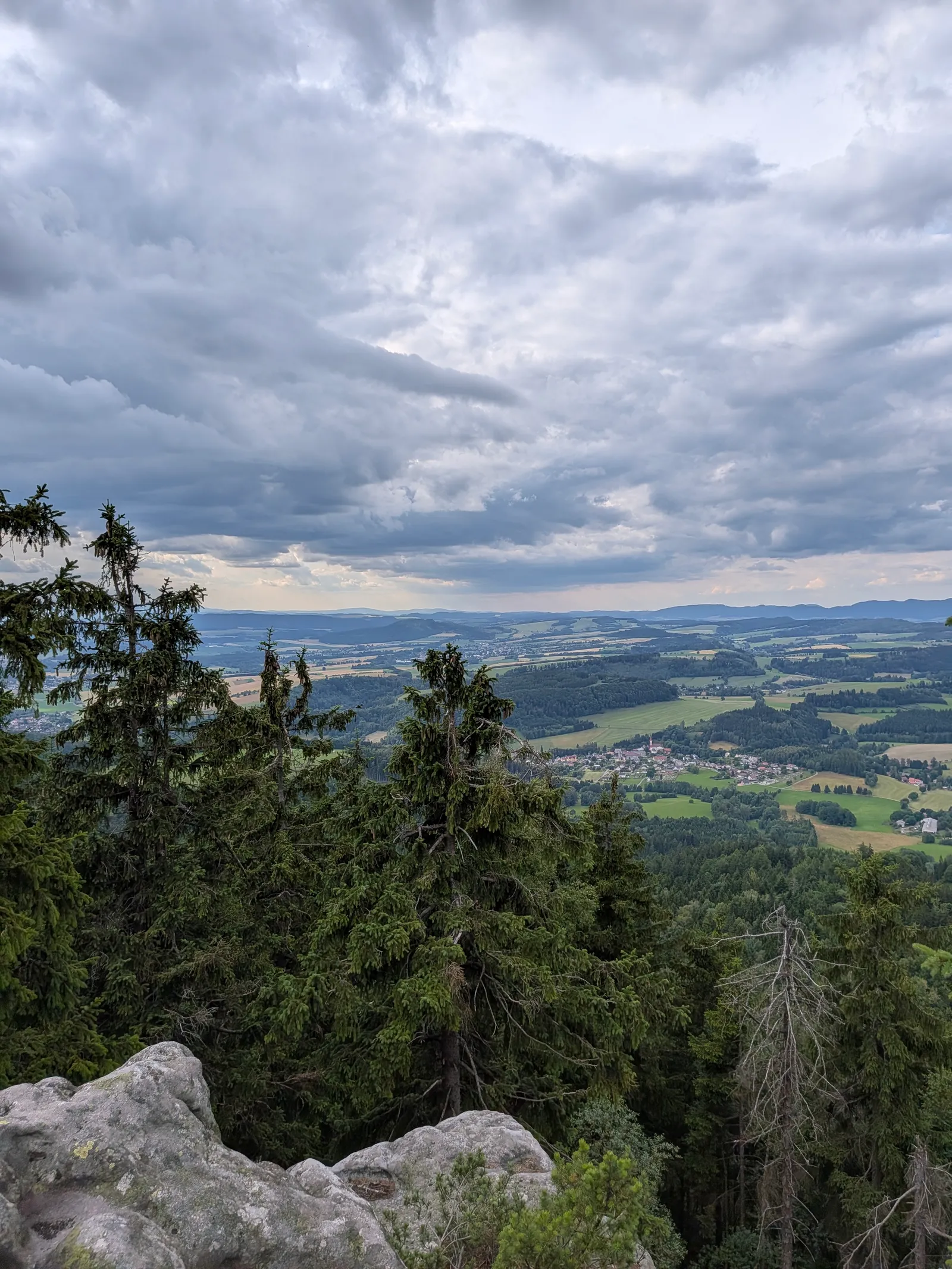
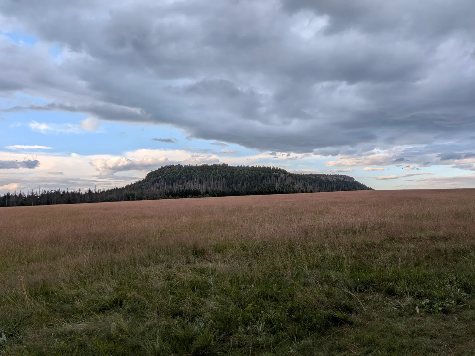
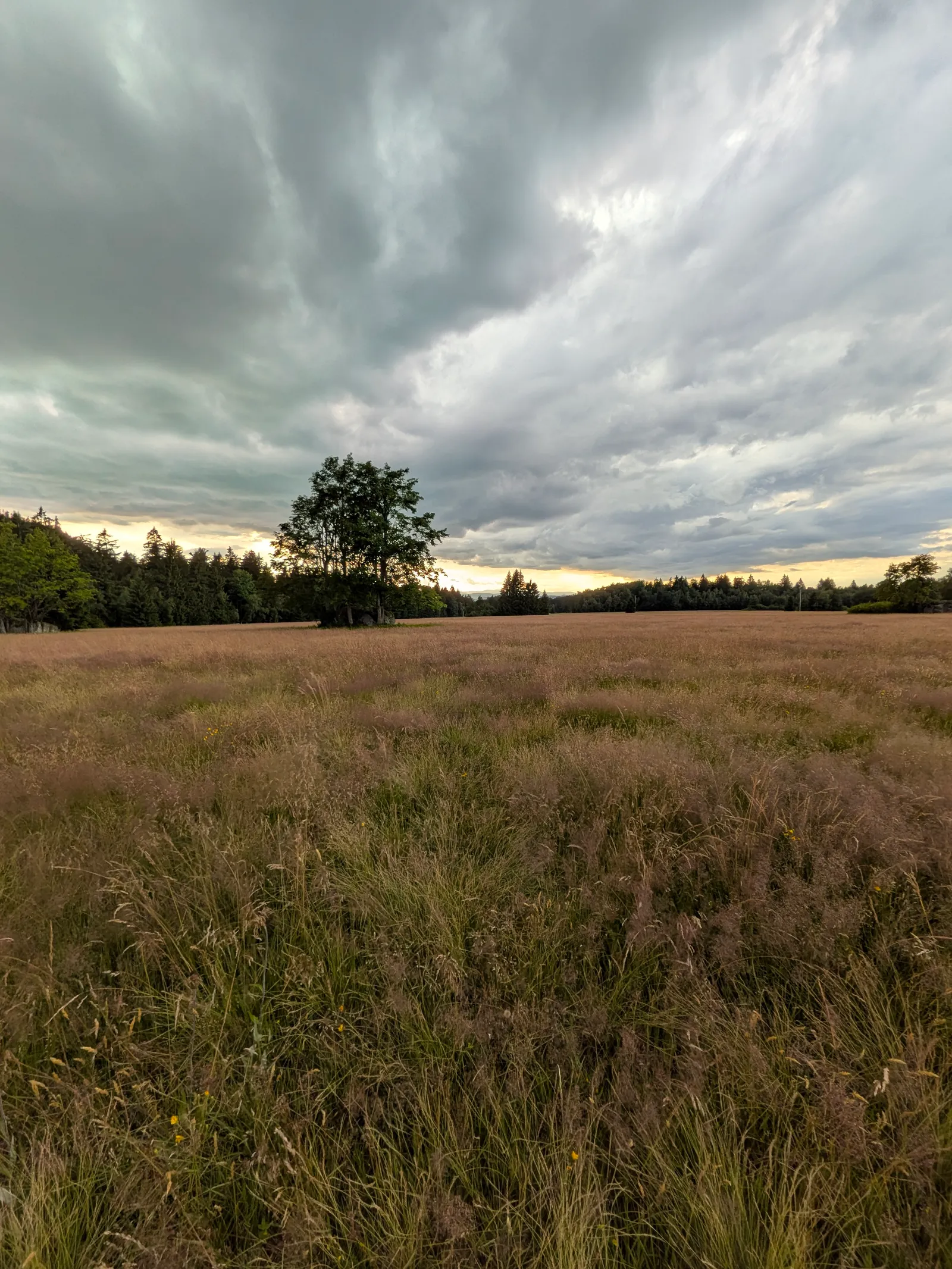
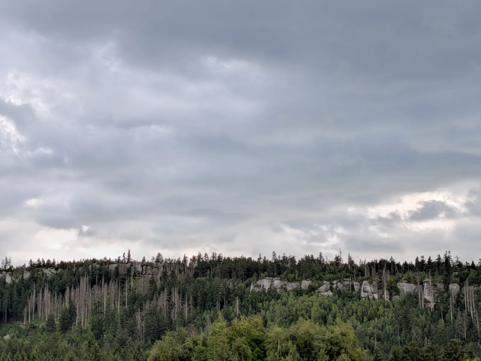
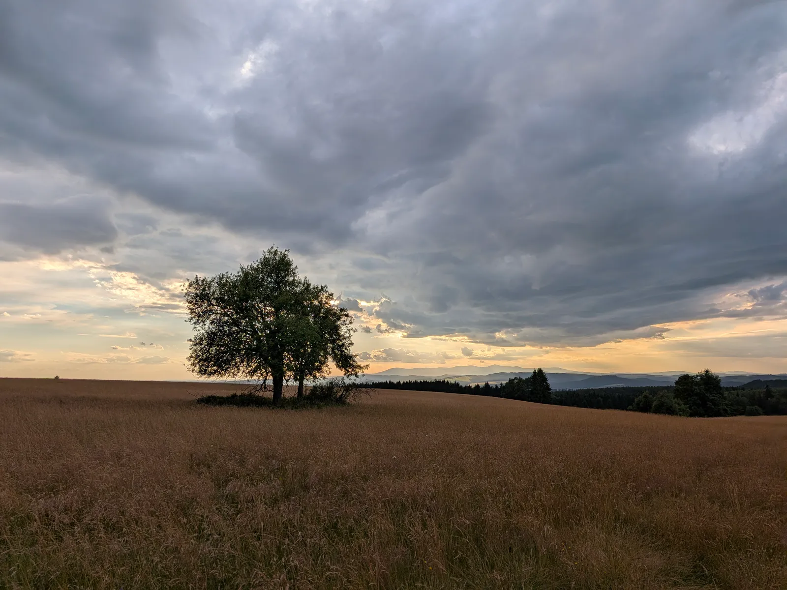
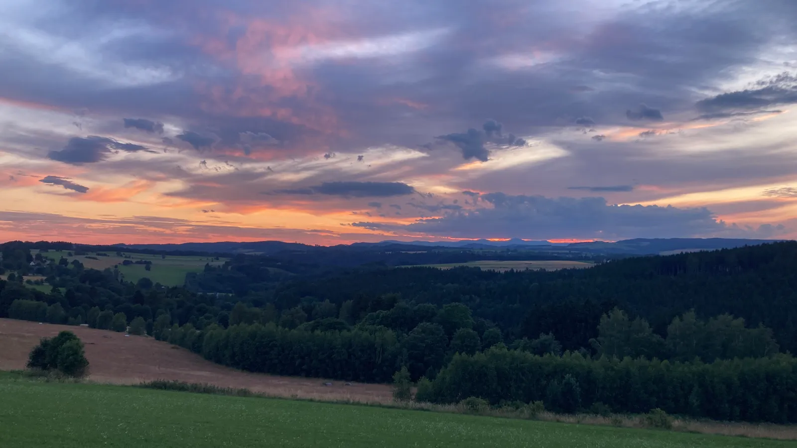
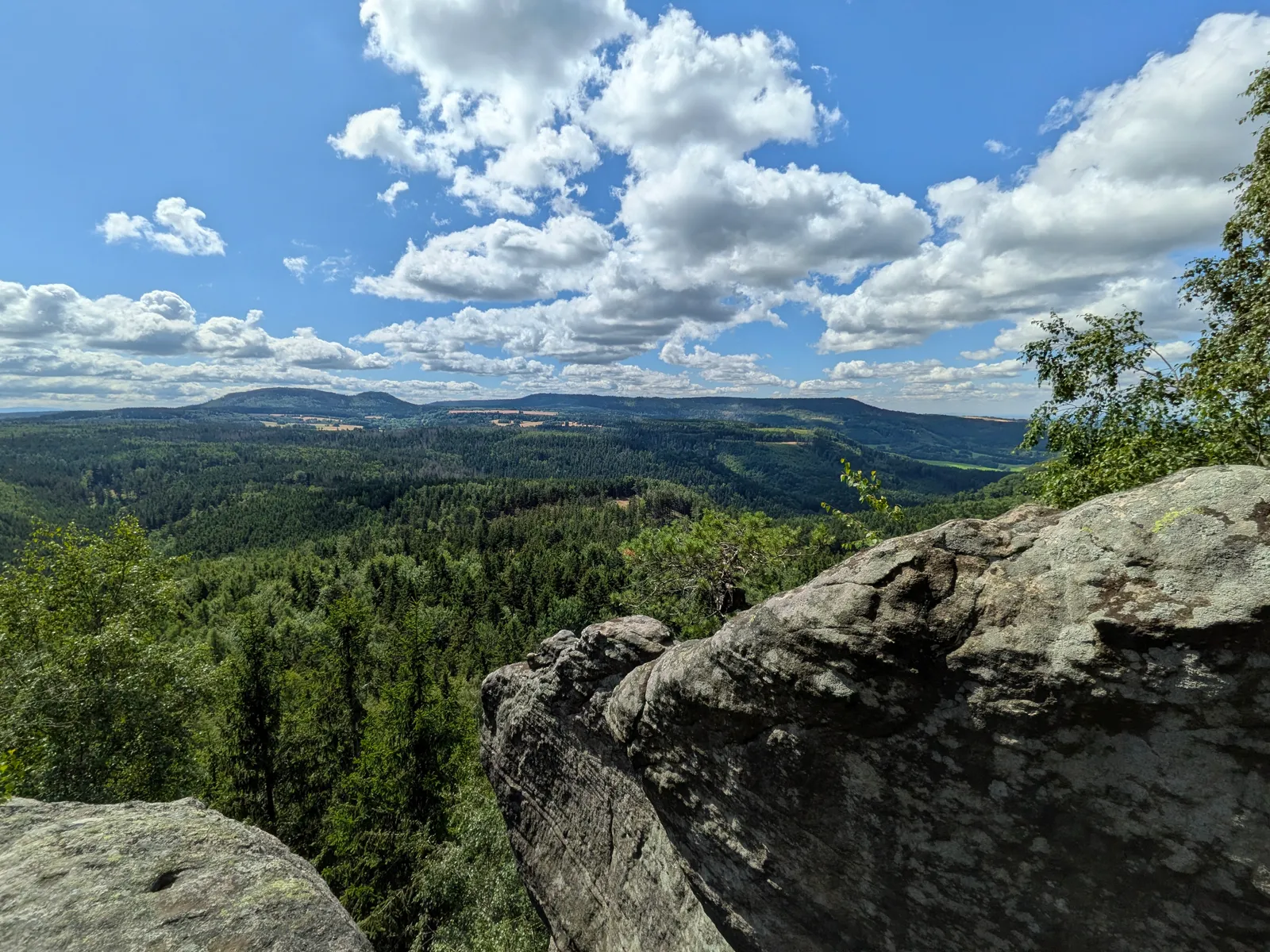
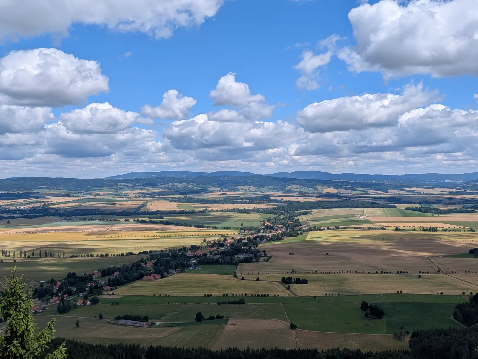
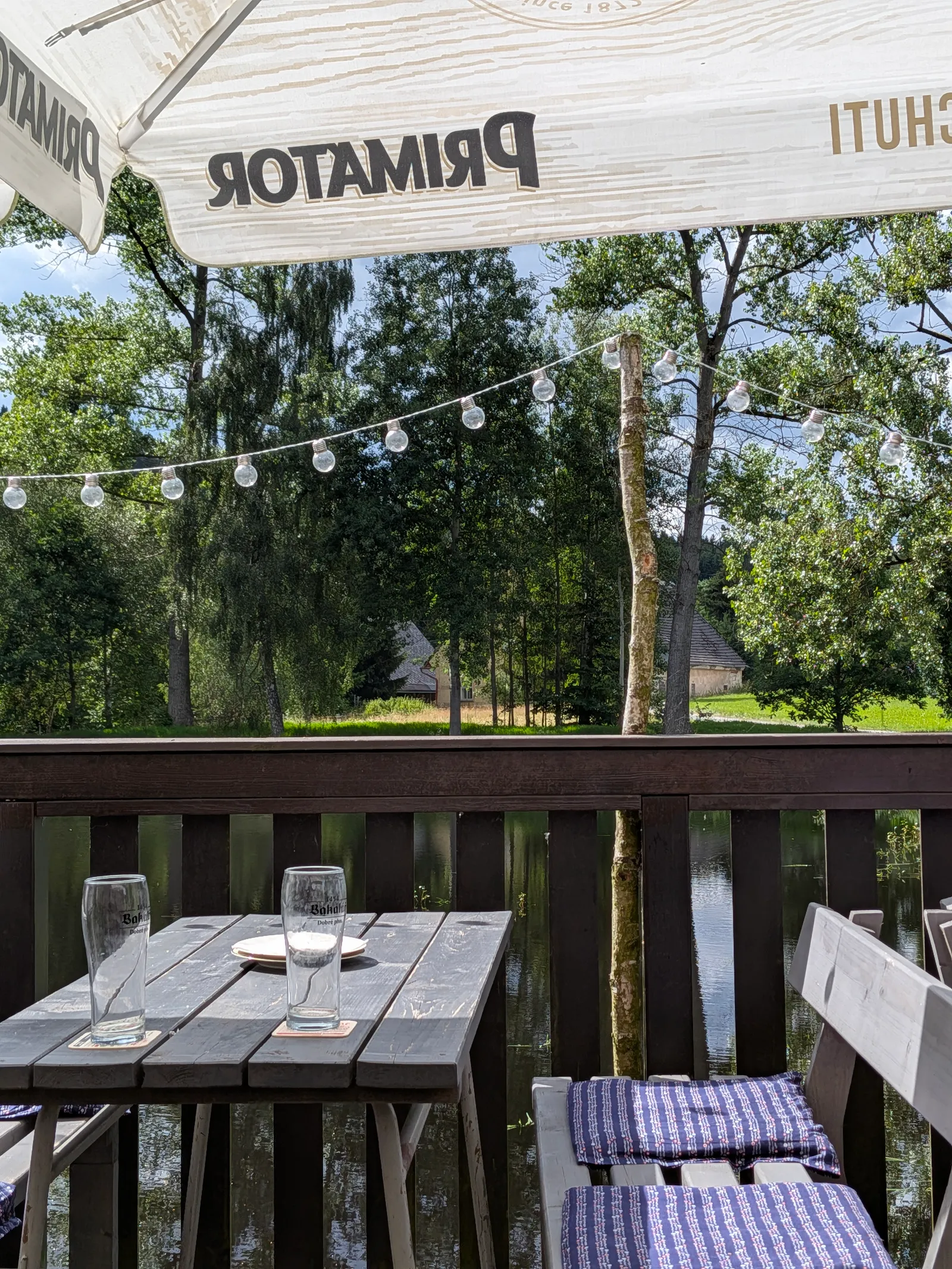
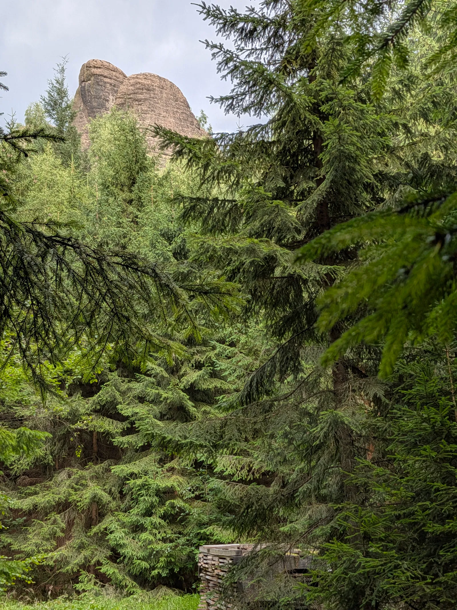
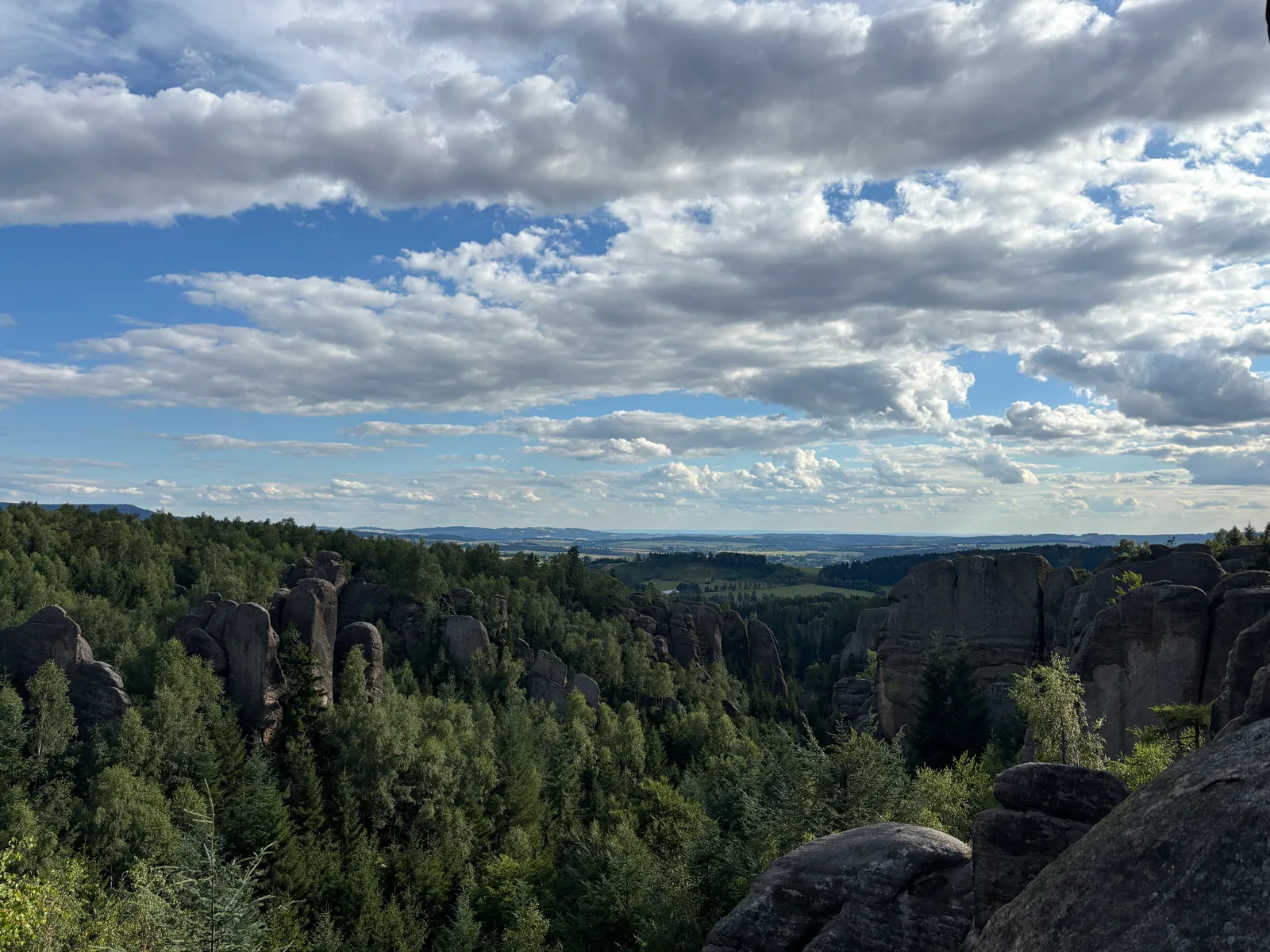
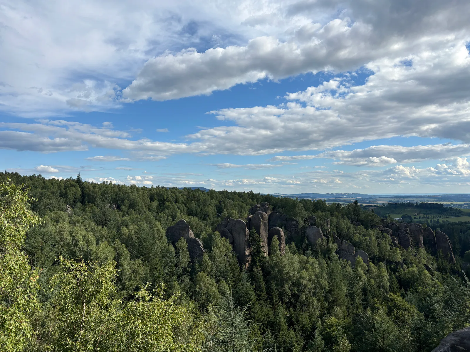
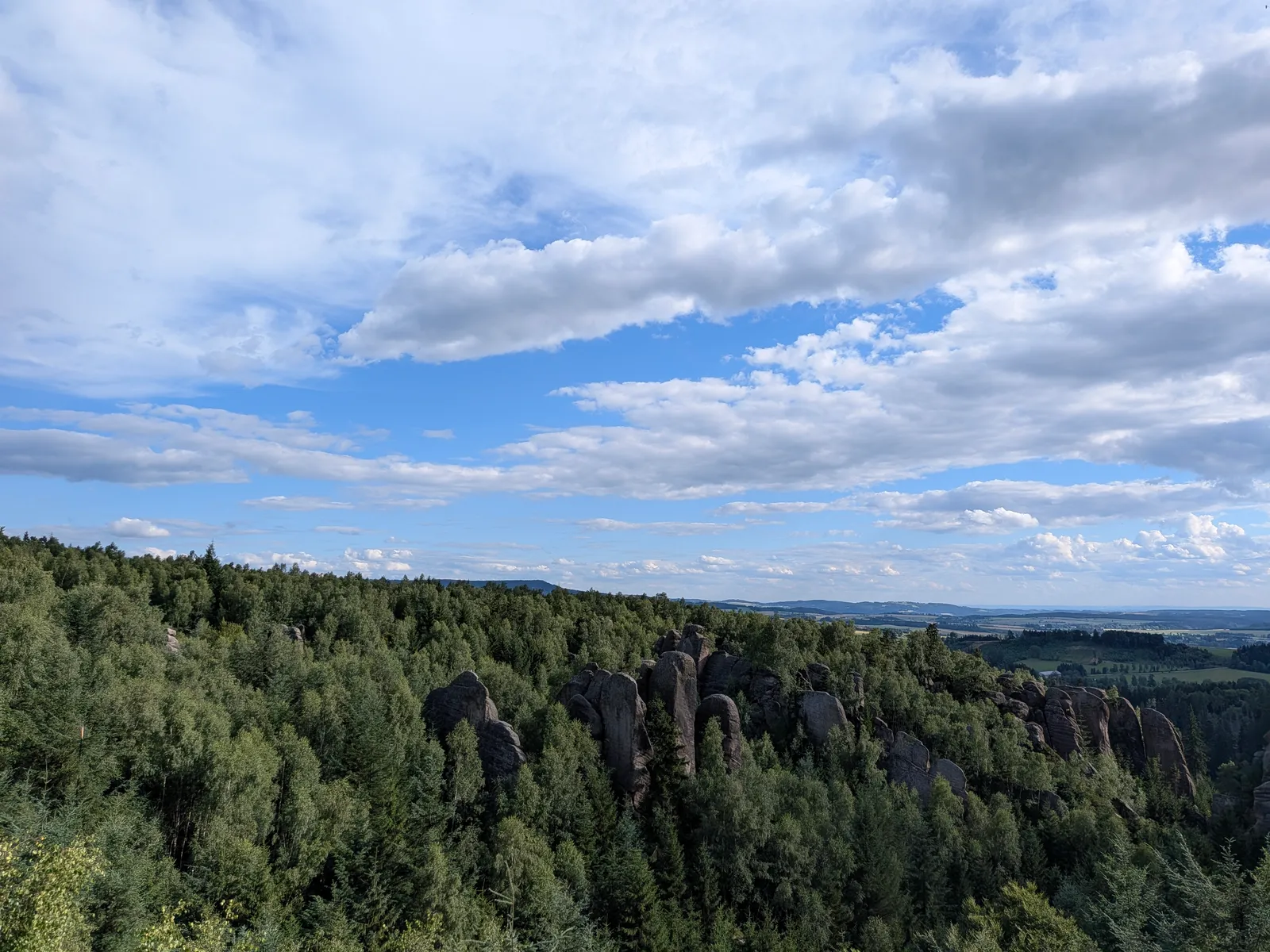
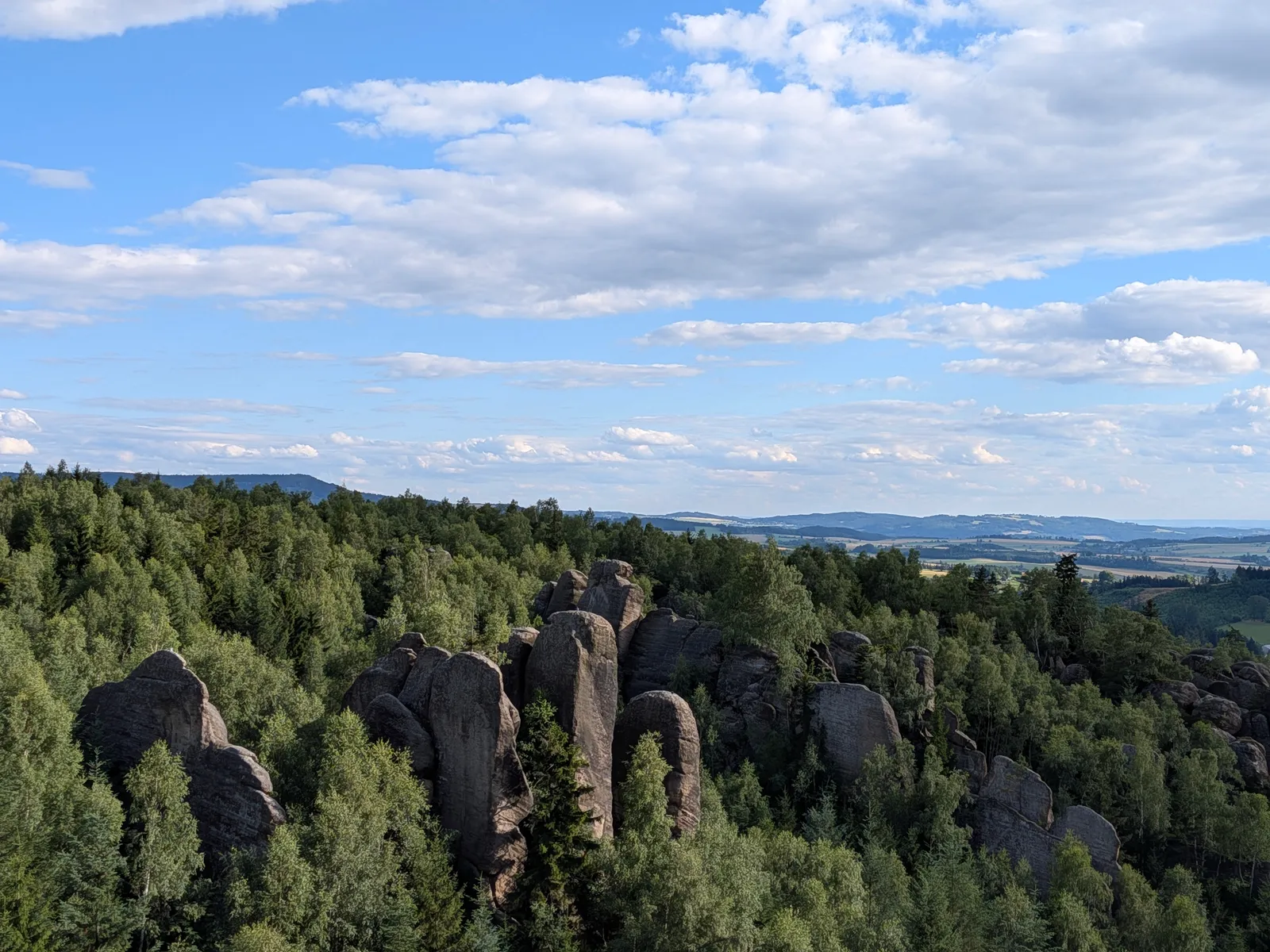
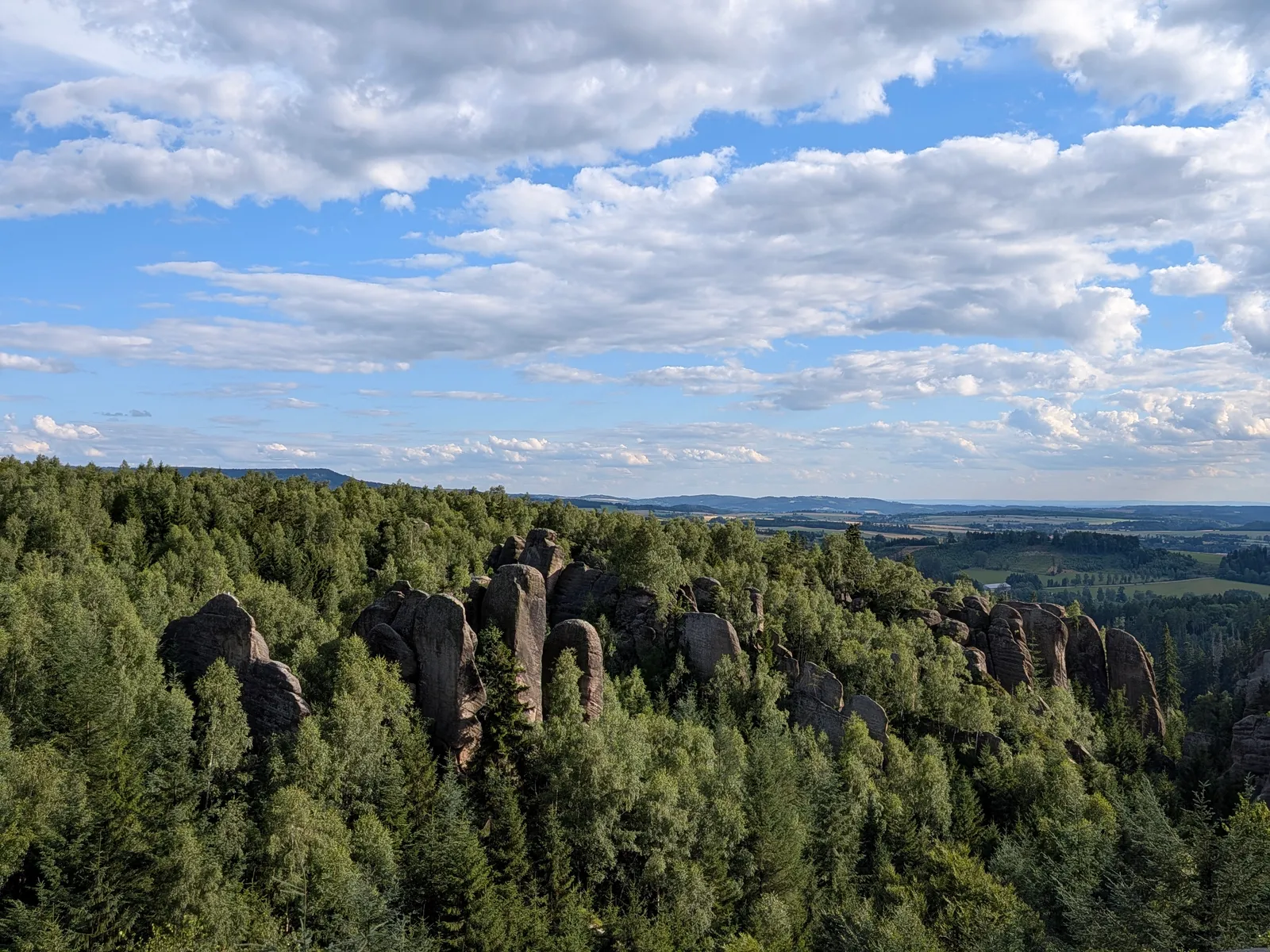
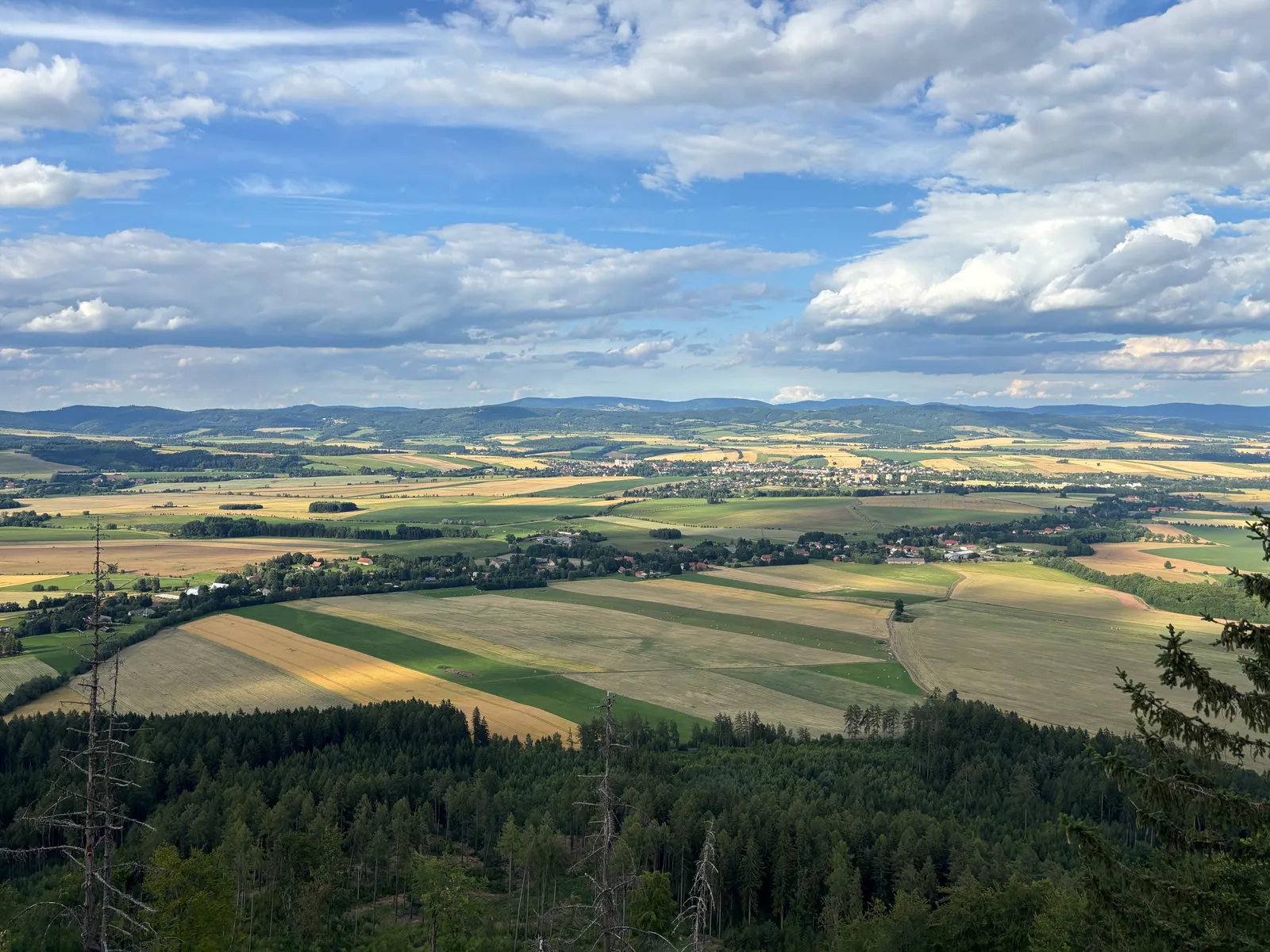
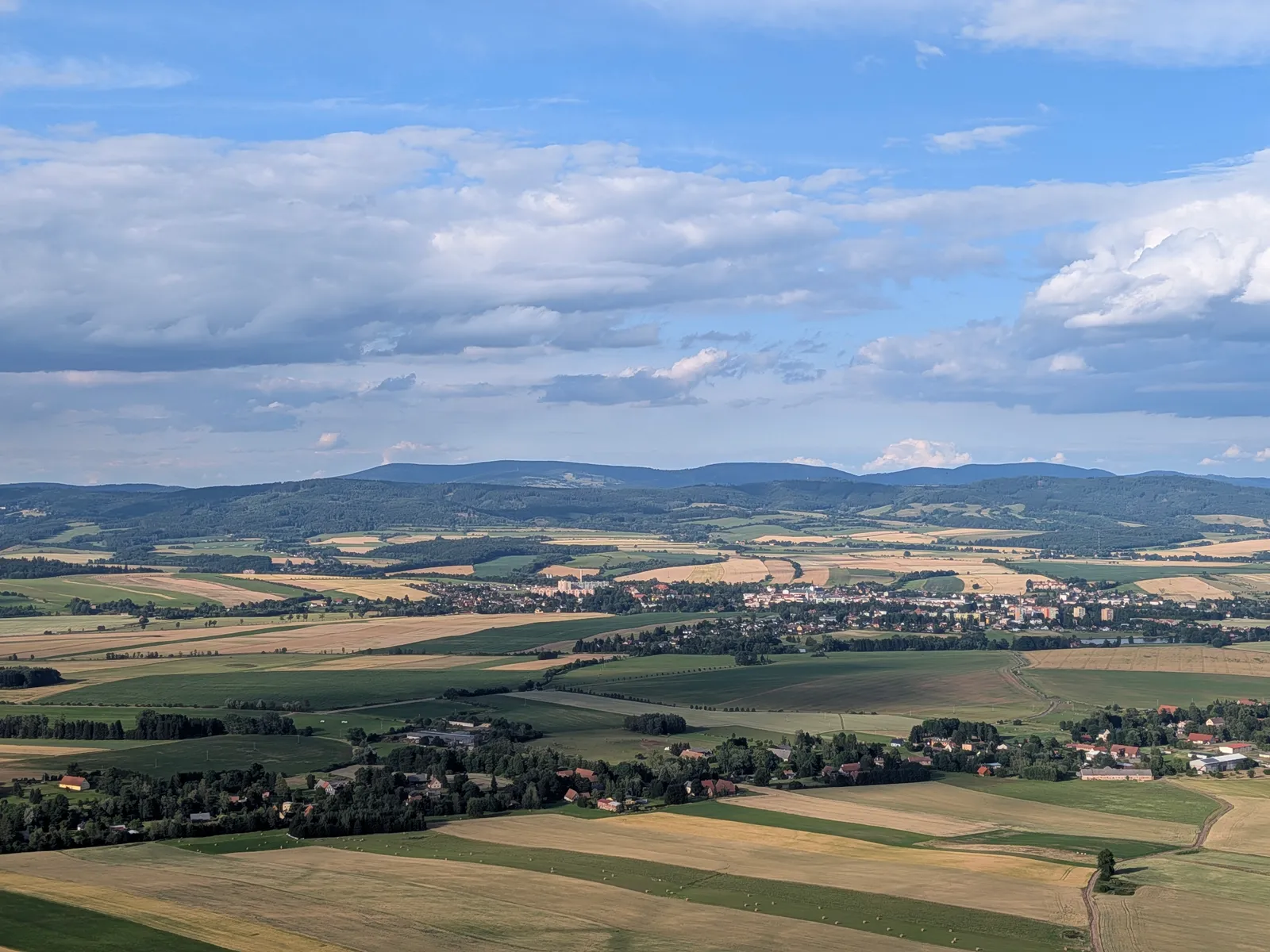
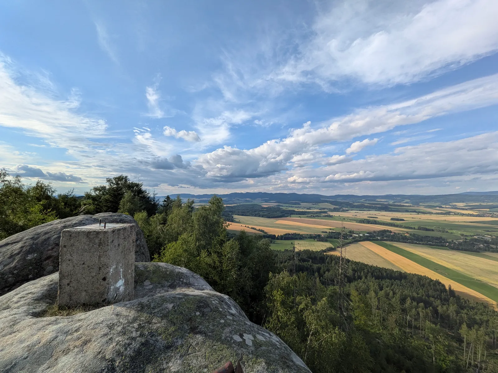
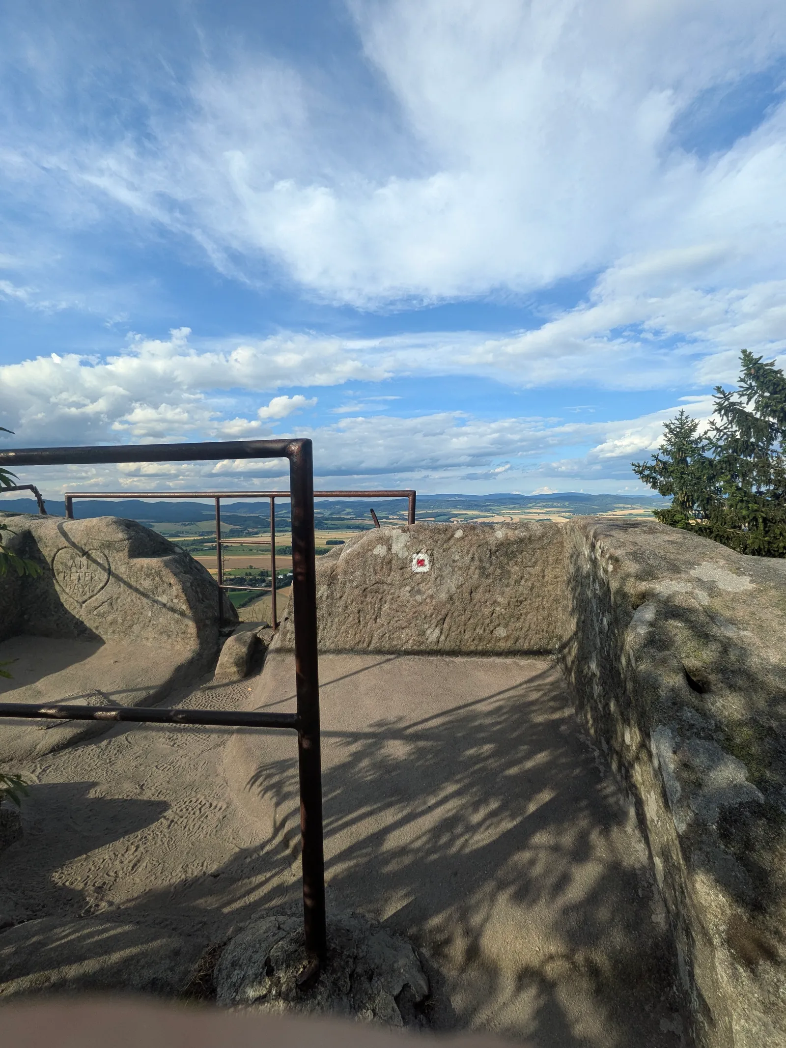
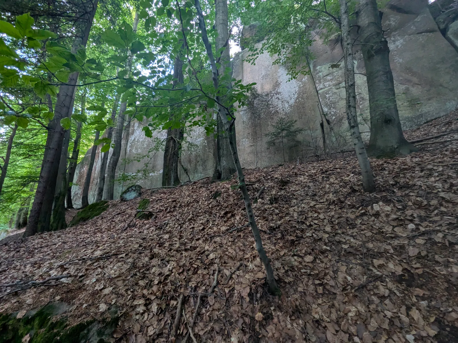
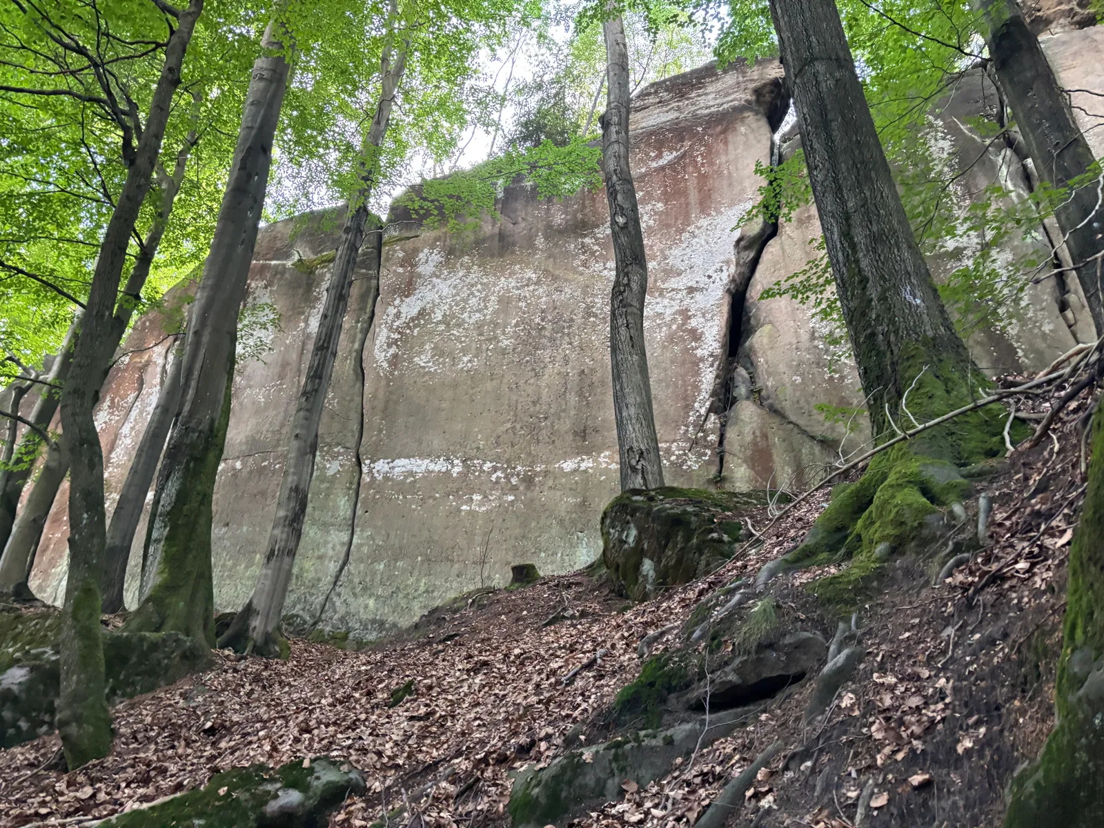
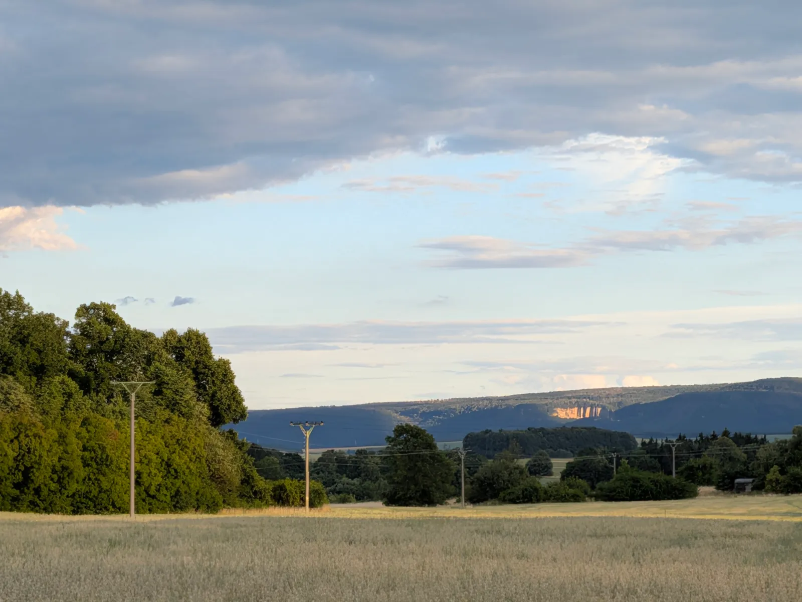
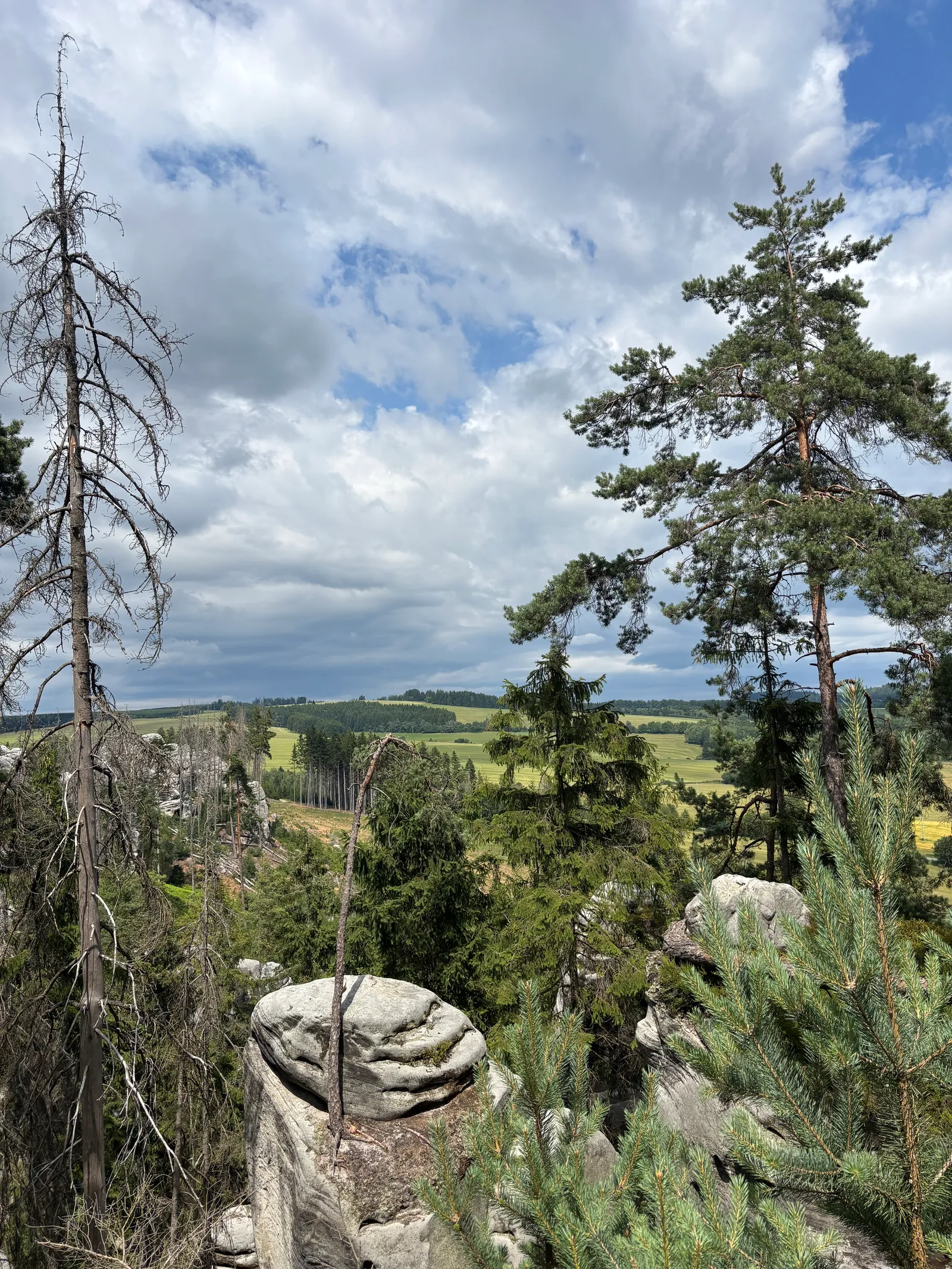
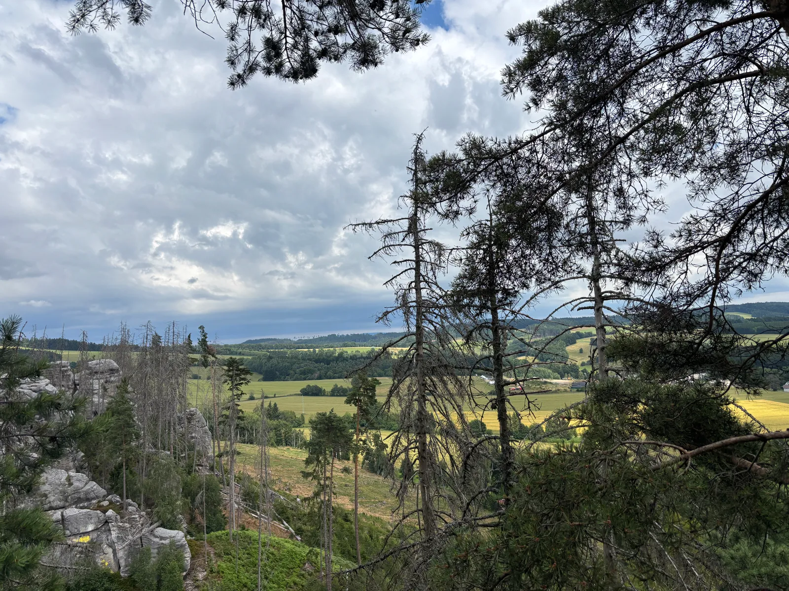
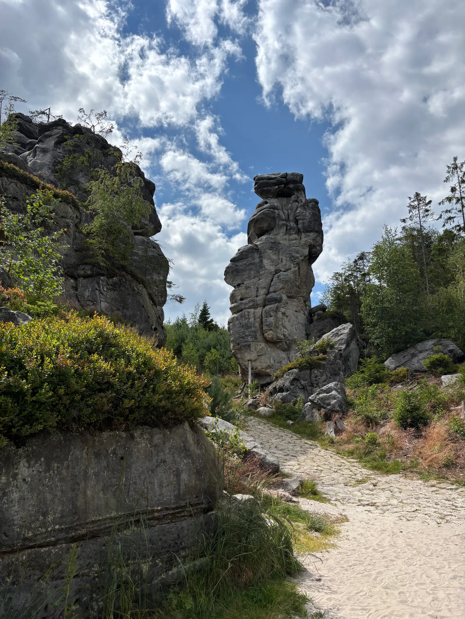
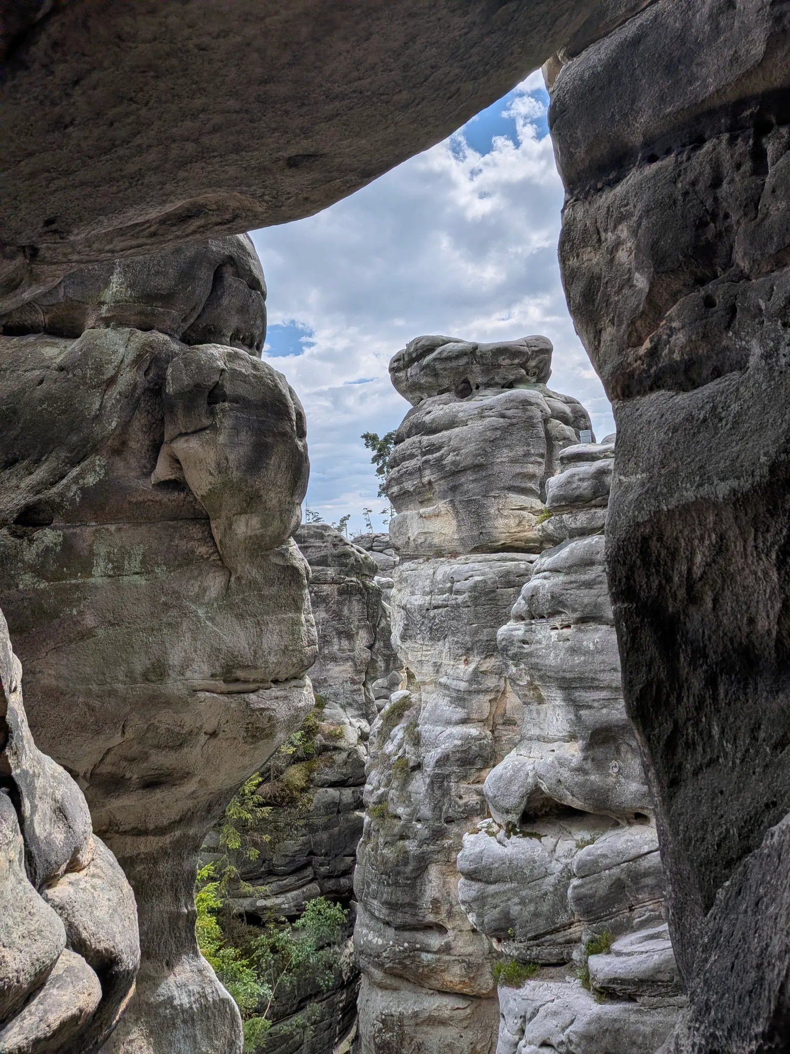
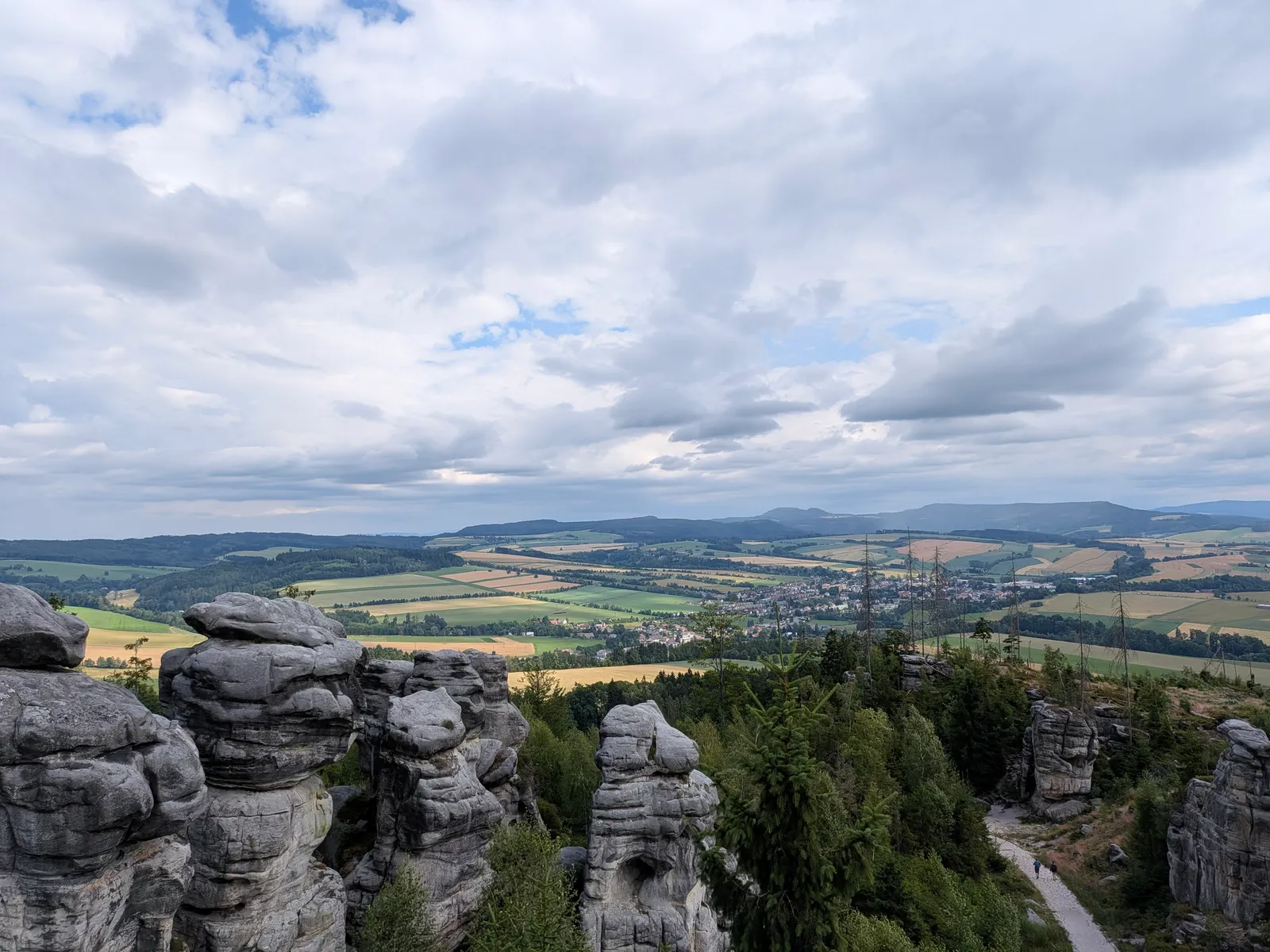
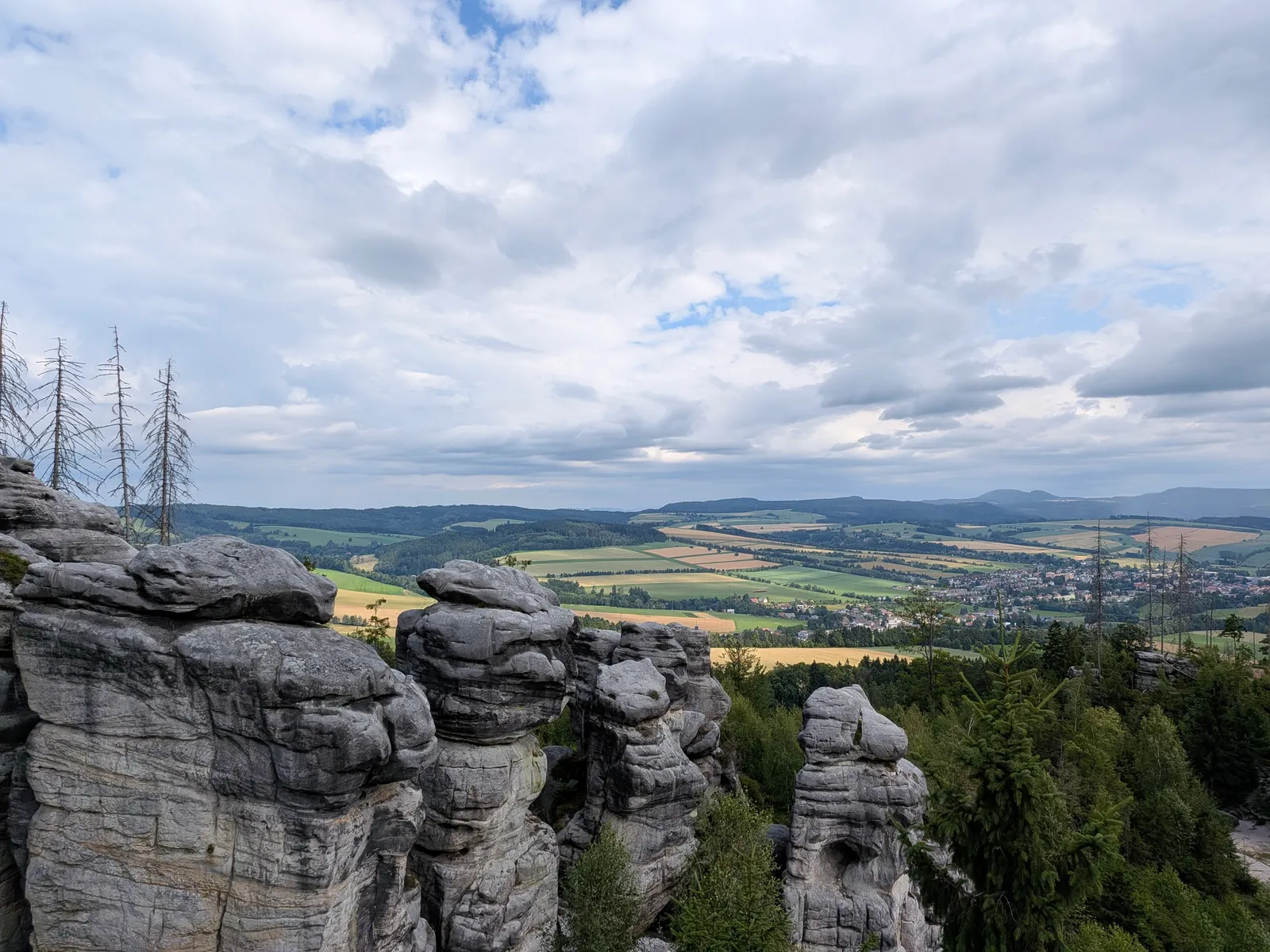
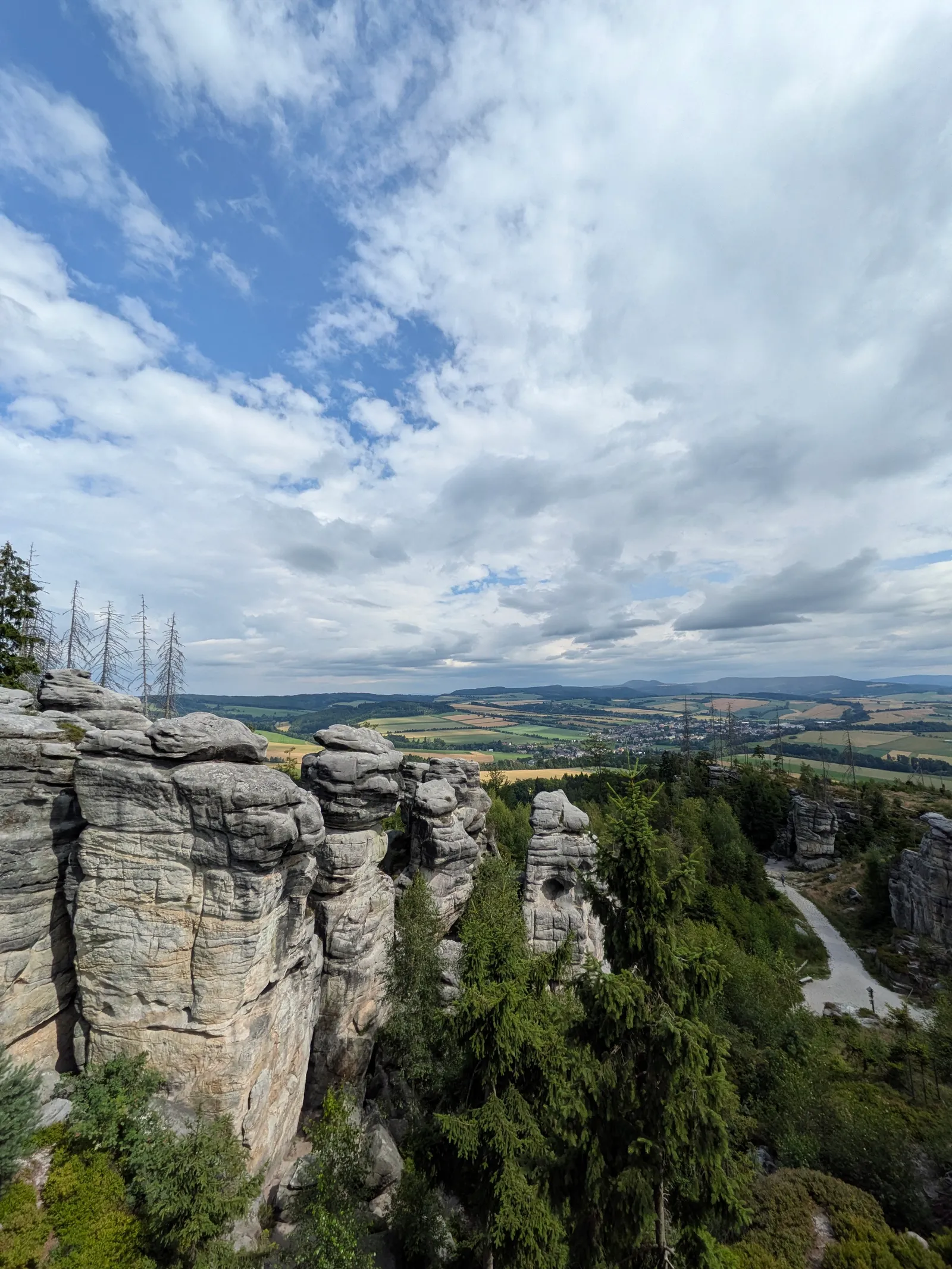
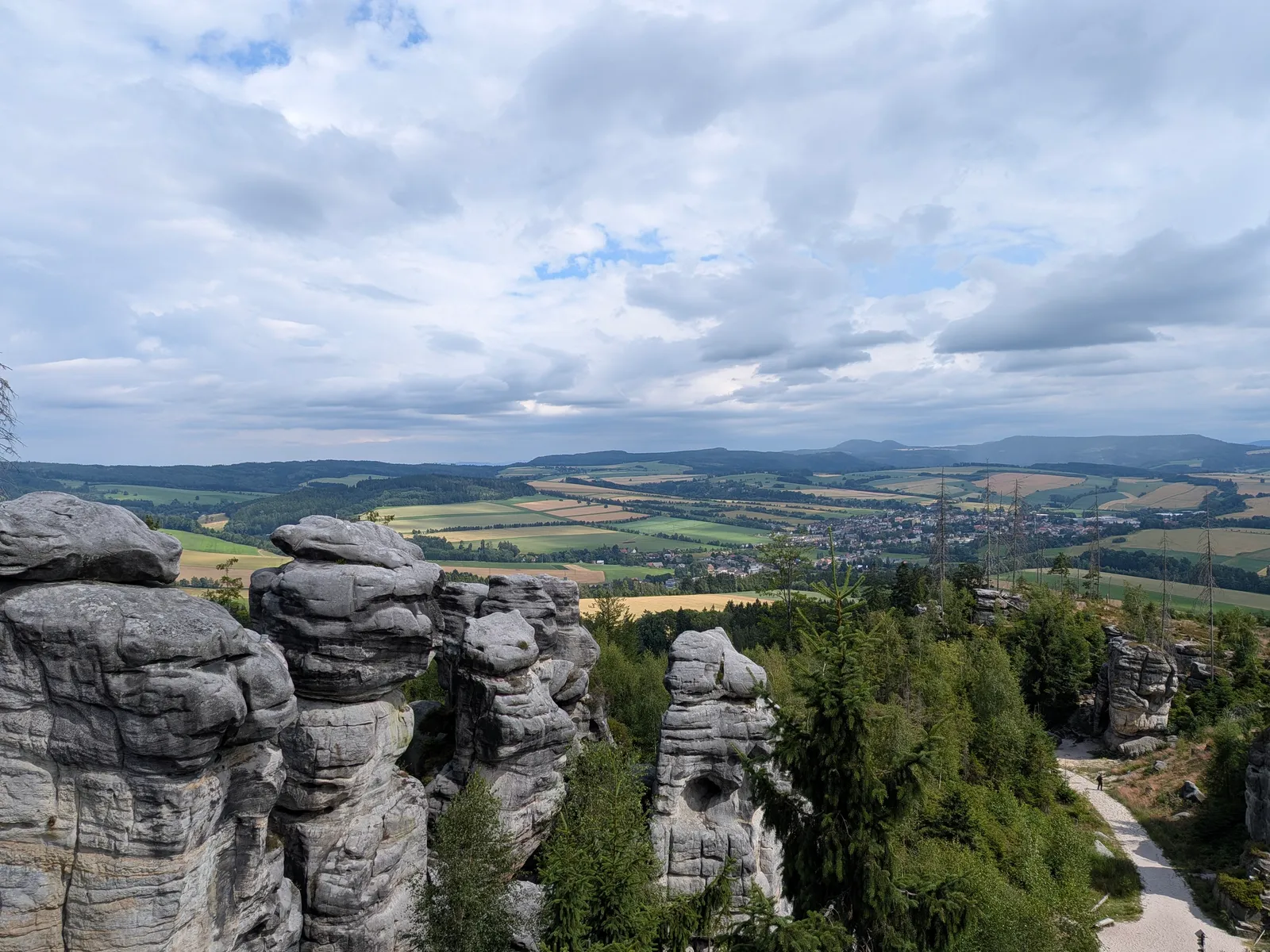
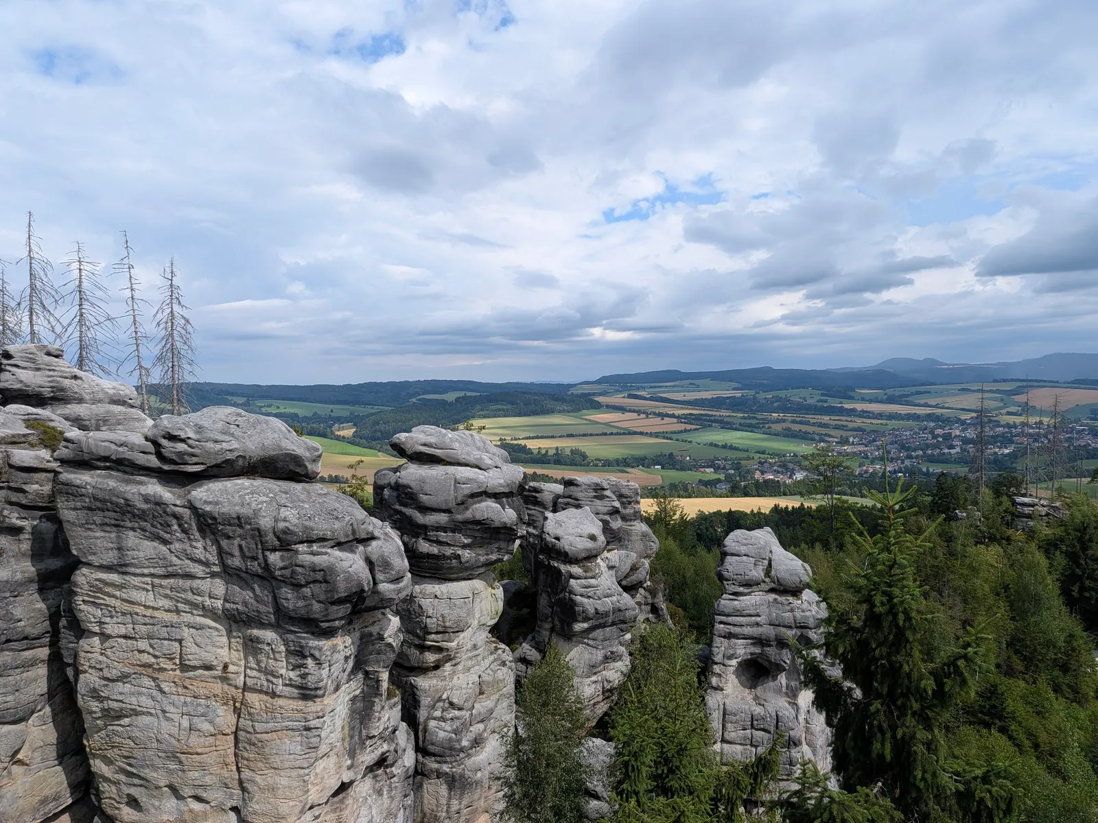
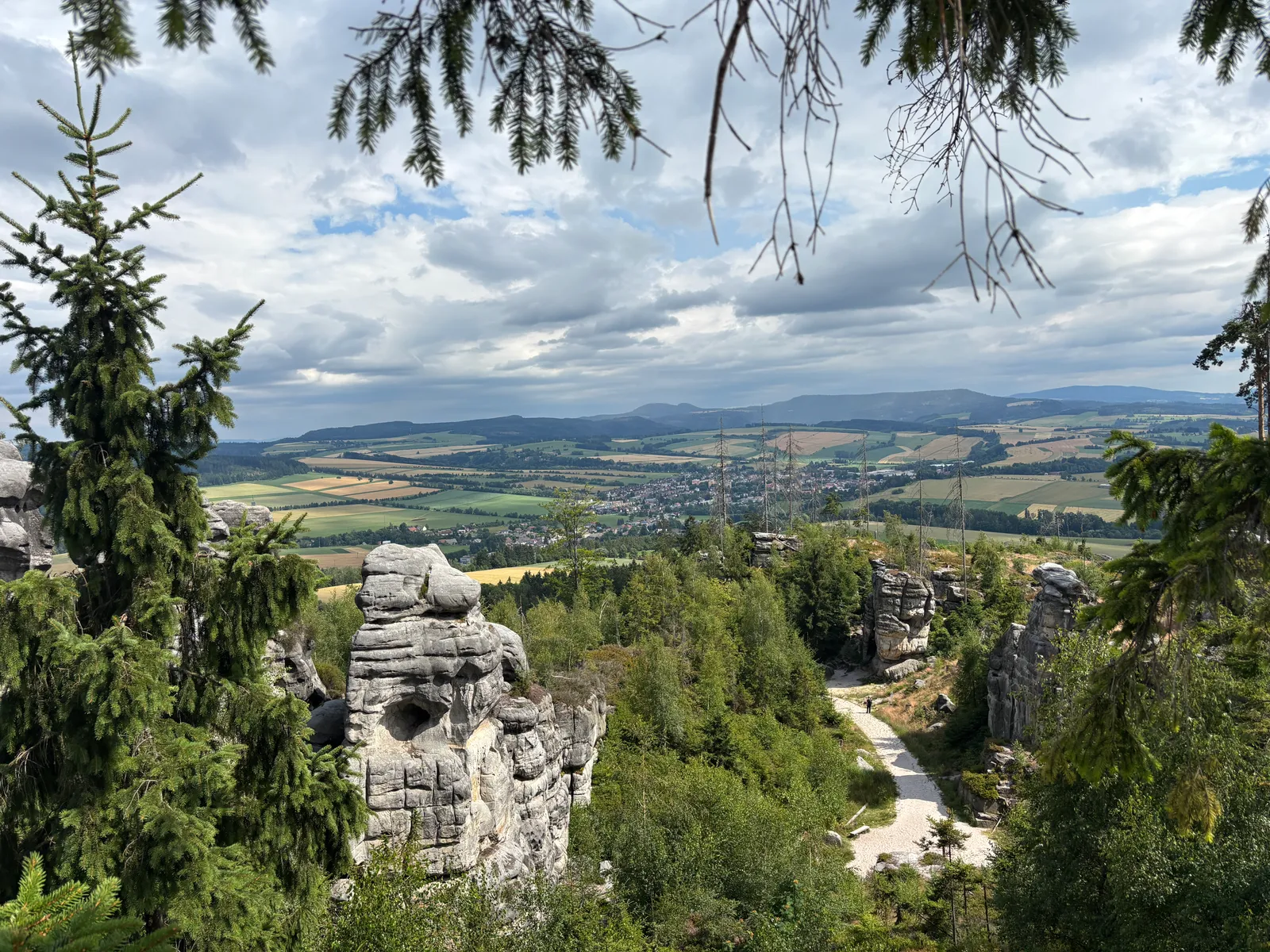
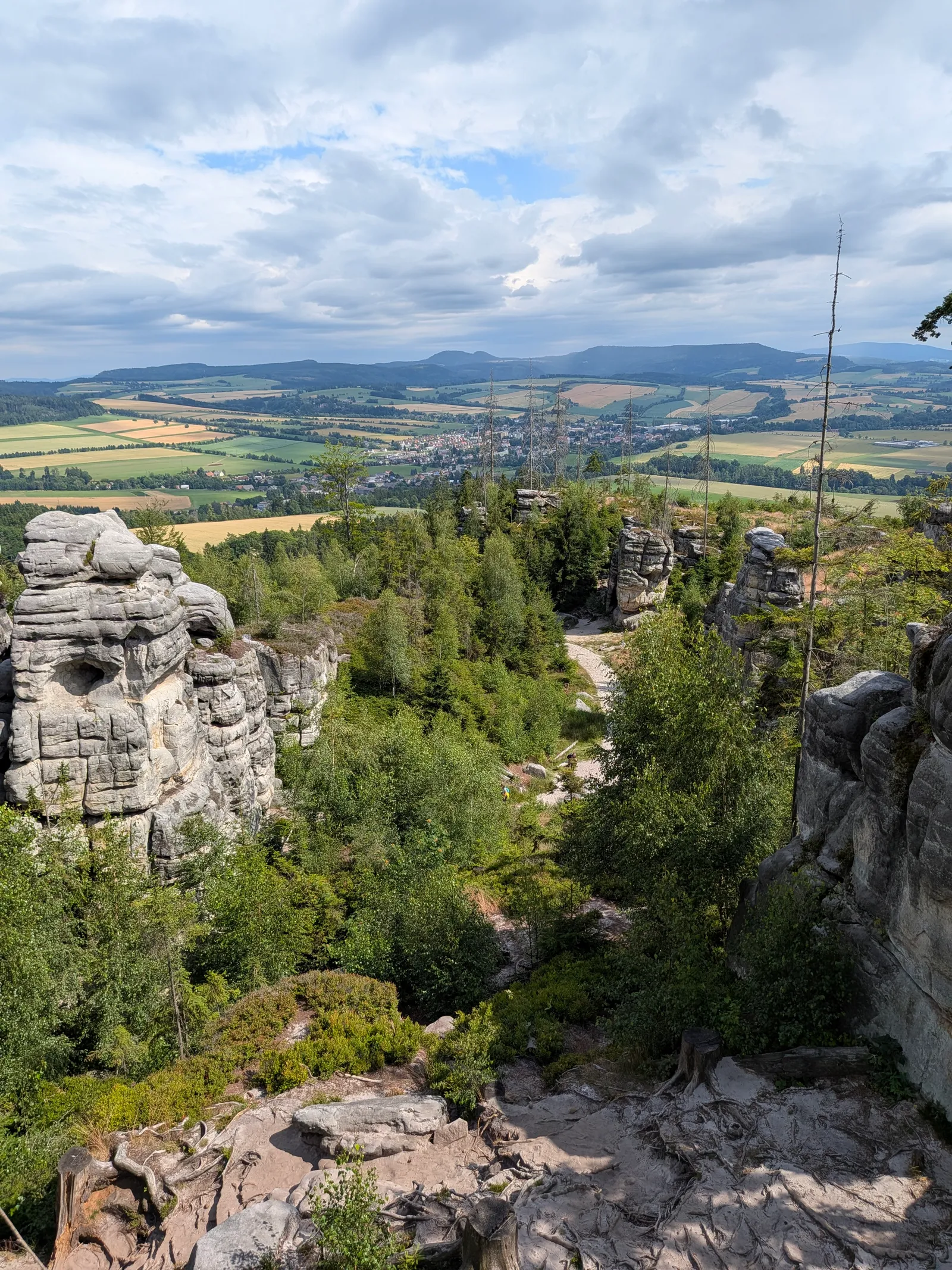
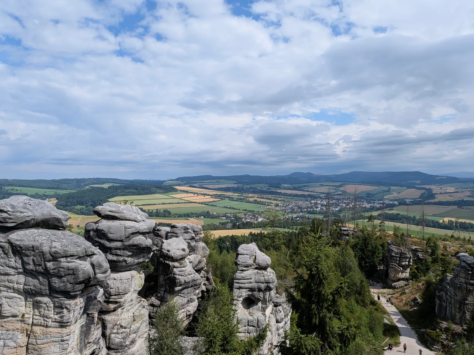
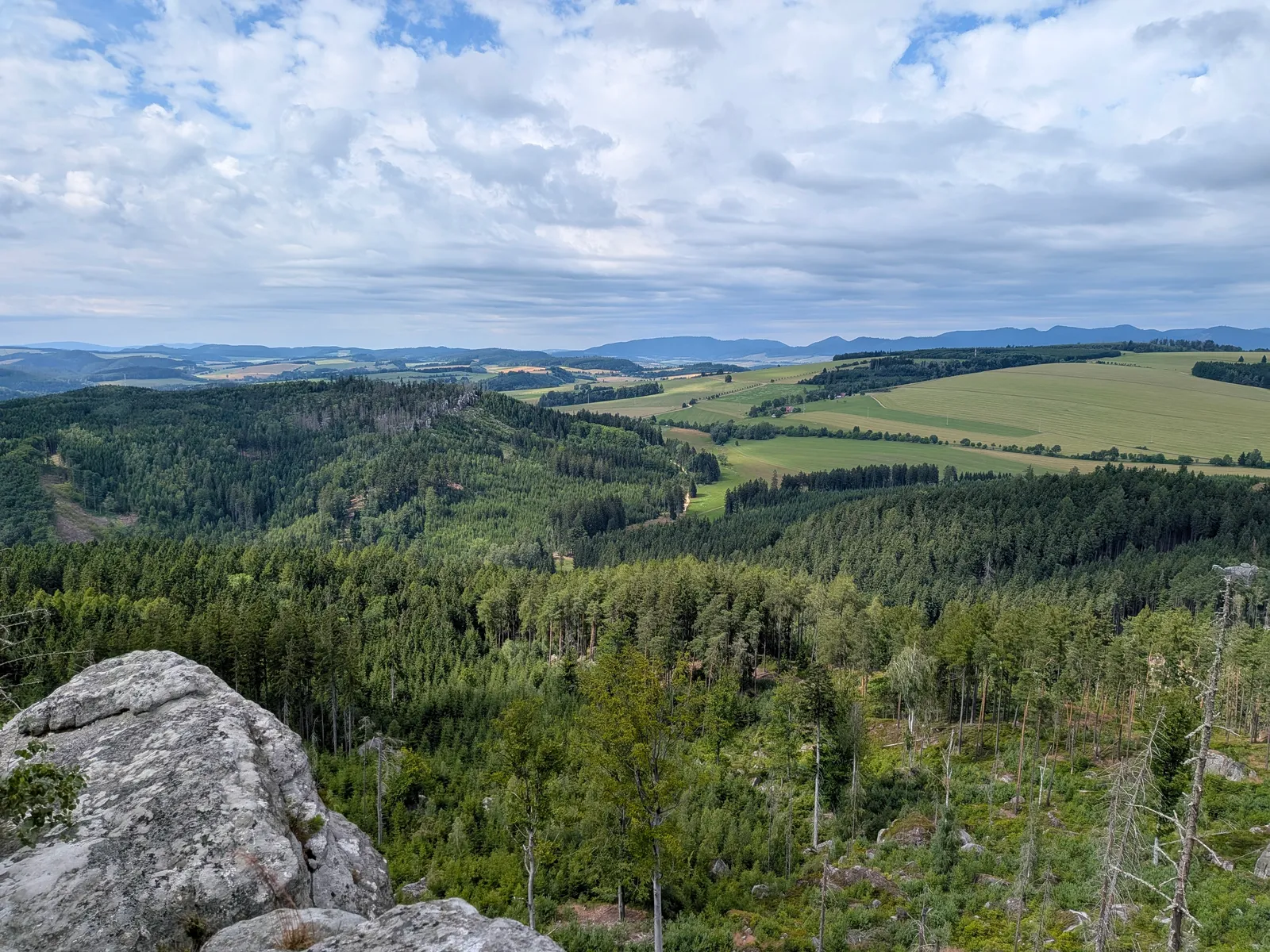
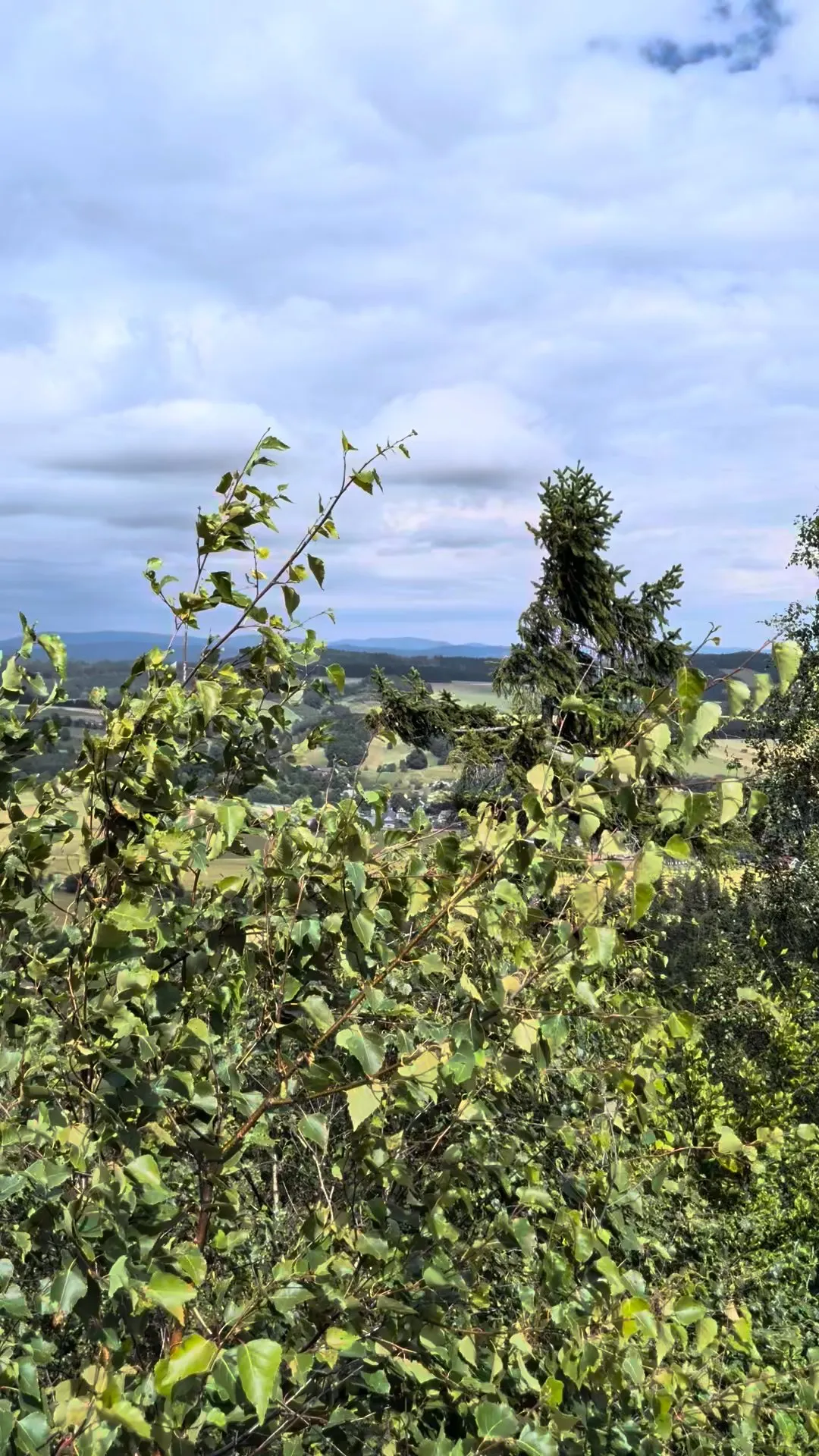
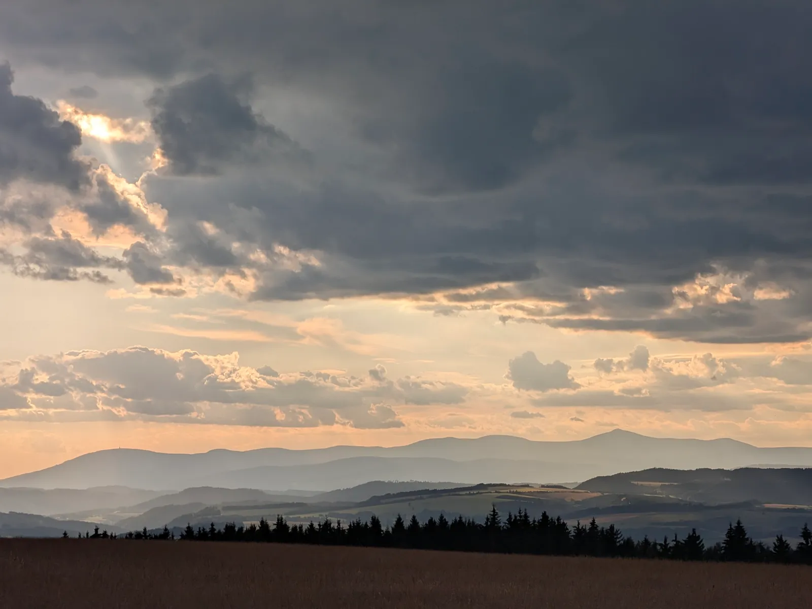
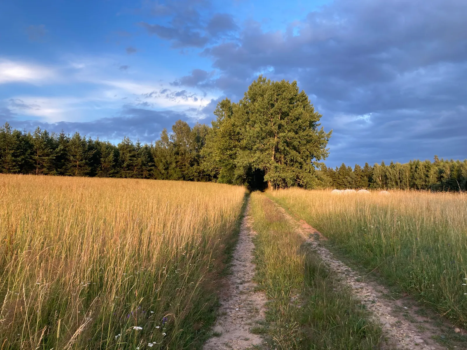
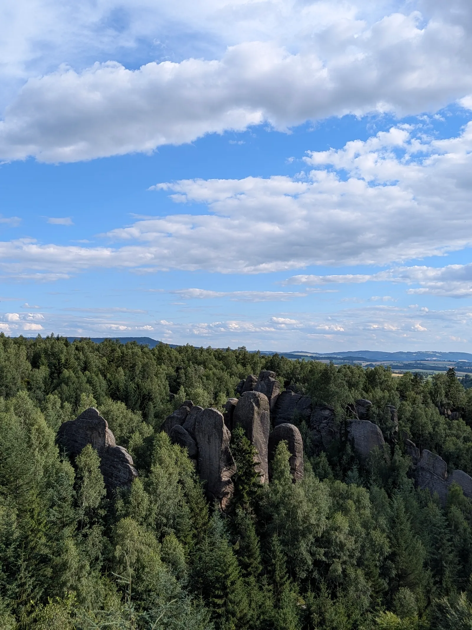
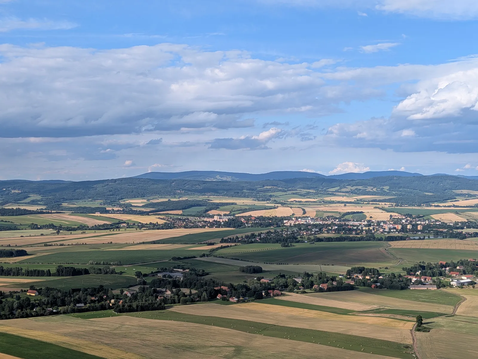
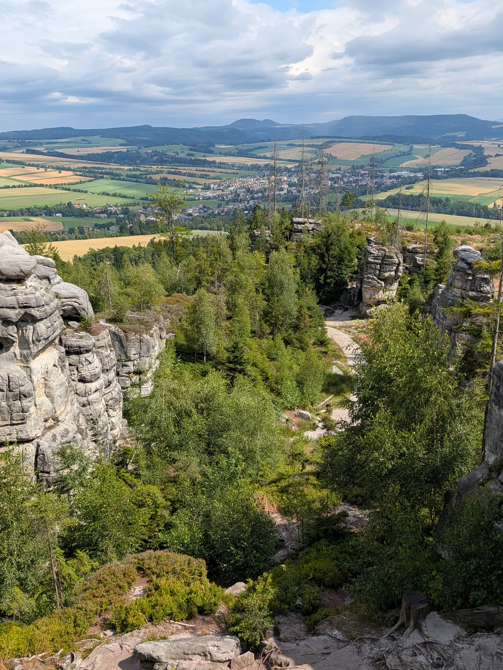
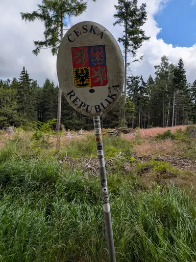
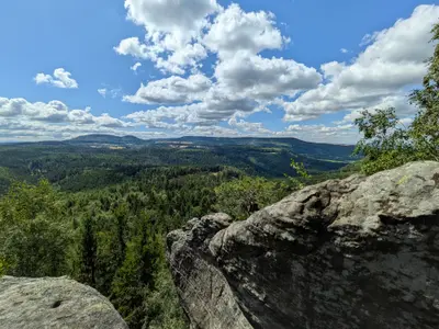
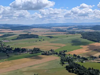
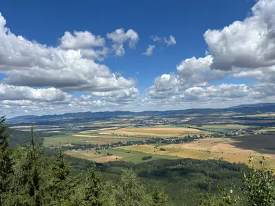
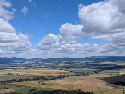
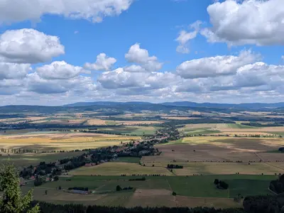
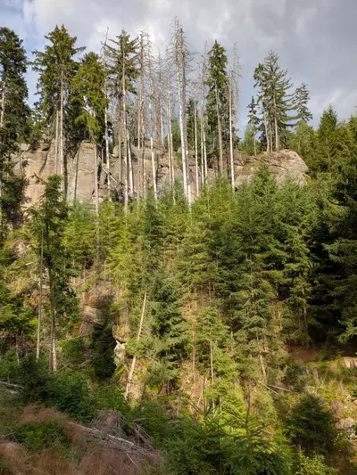
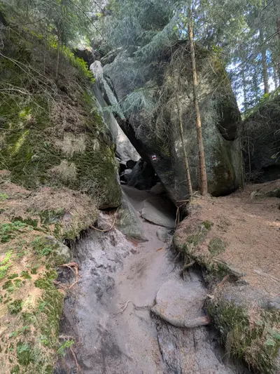
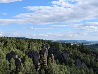
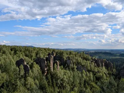
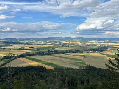
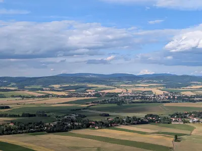
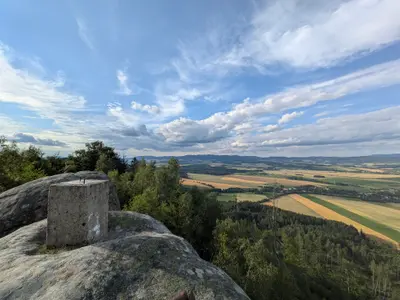
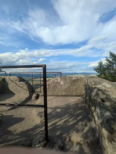
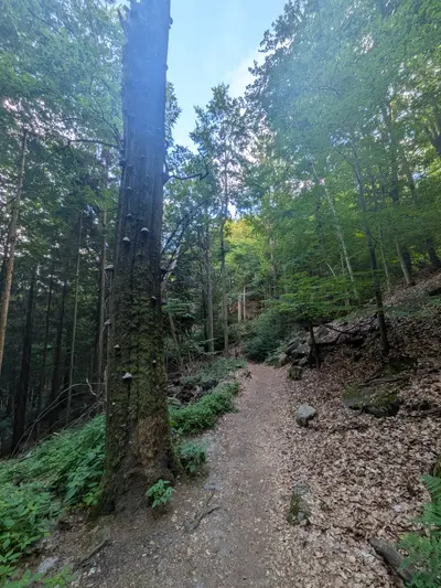
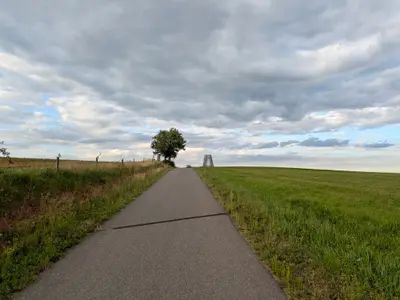
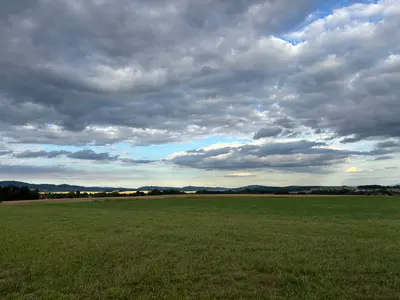
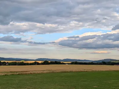
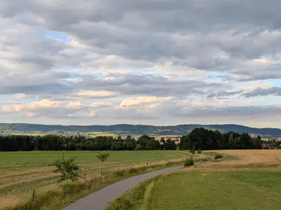
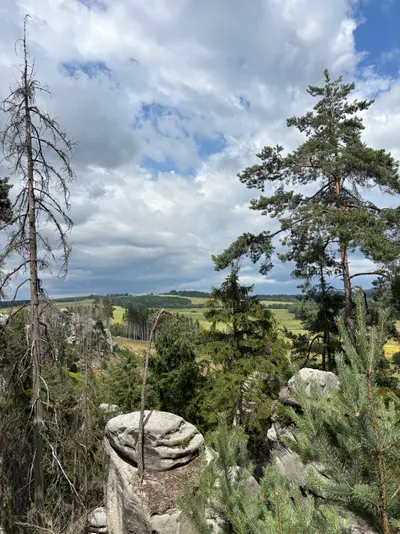
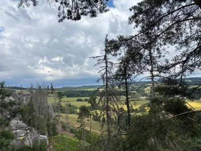
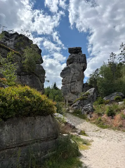
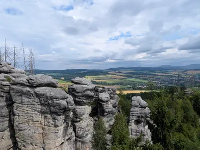
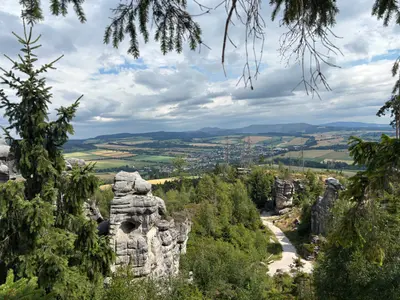
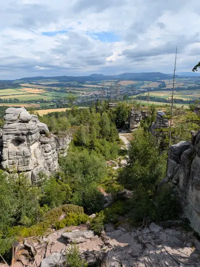
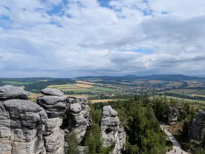
The second day is the longest and the best. From Pasterka the route crosses back into Bohemia and follows the Broumovské stěny more or less end to end. You pass the block dome of Božanovský Špičák, the Koruna viewpoint, the Kamenná brána rock gate and the Kovárna cave, with wide views from the cliff edge the whole way. There is a good pub in Hlavňov before the climb to the Skalní divadlo. For me it was the best single spot of the trip, an amphitheatre of rock towers that my photos do not really capture. The day ends down through Křinice in Broumov, where the monastery town is the place for the second night.
Day 3: Hvězda and Ostaš
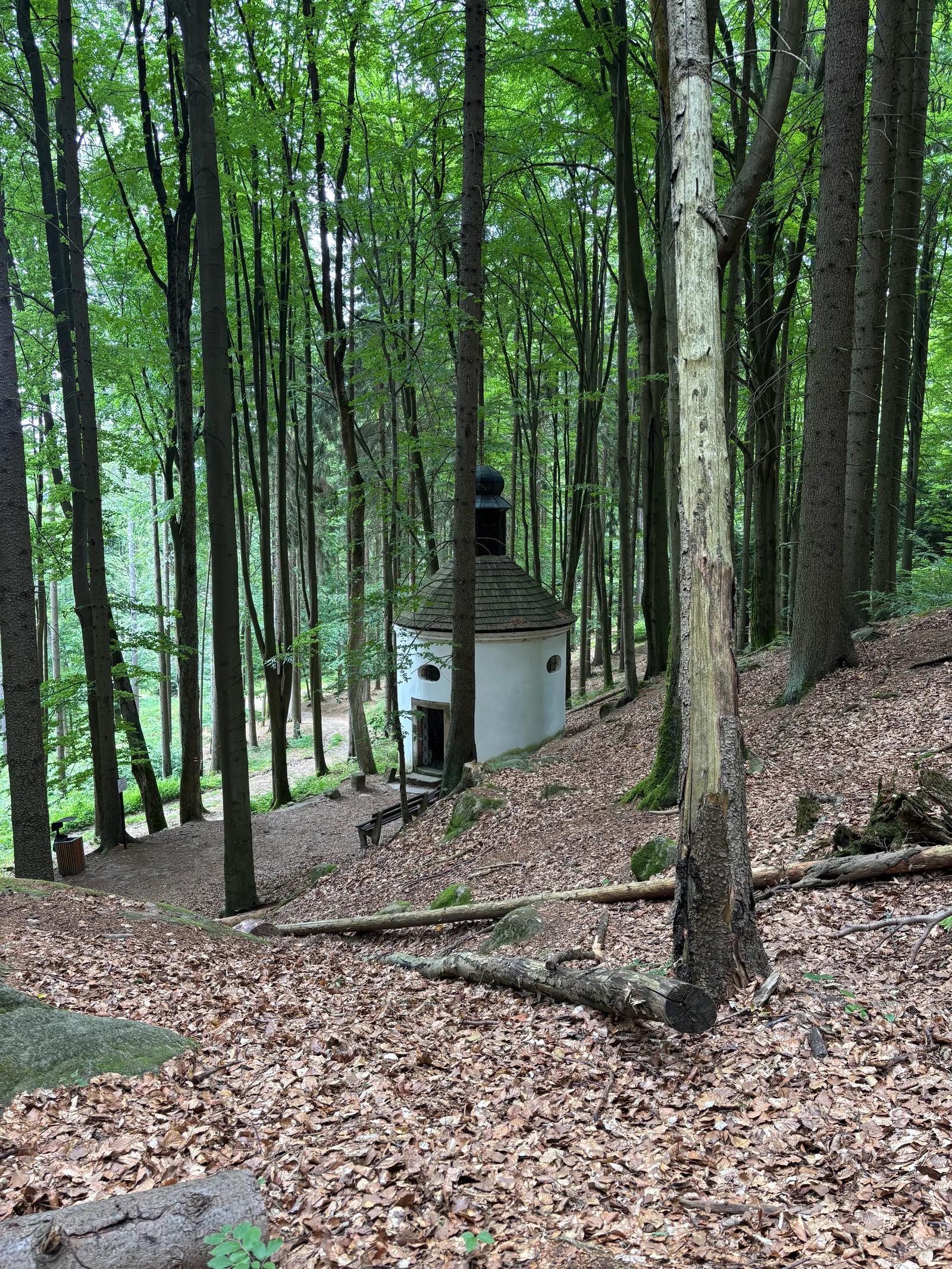
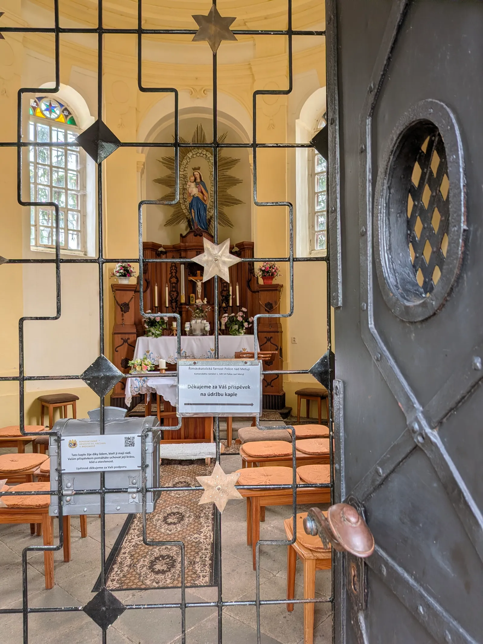
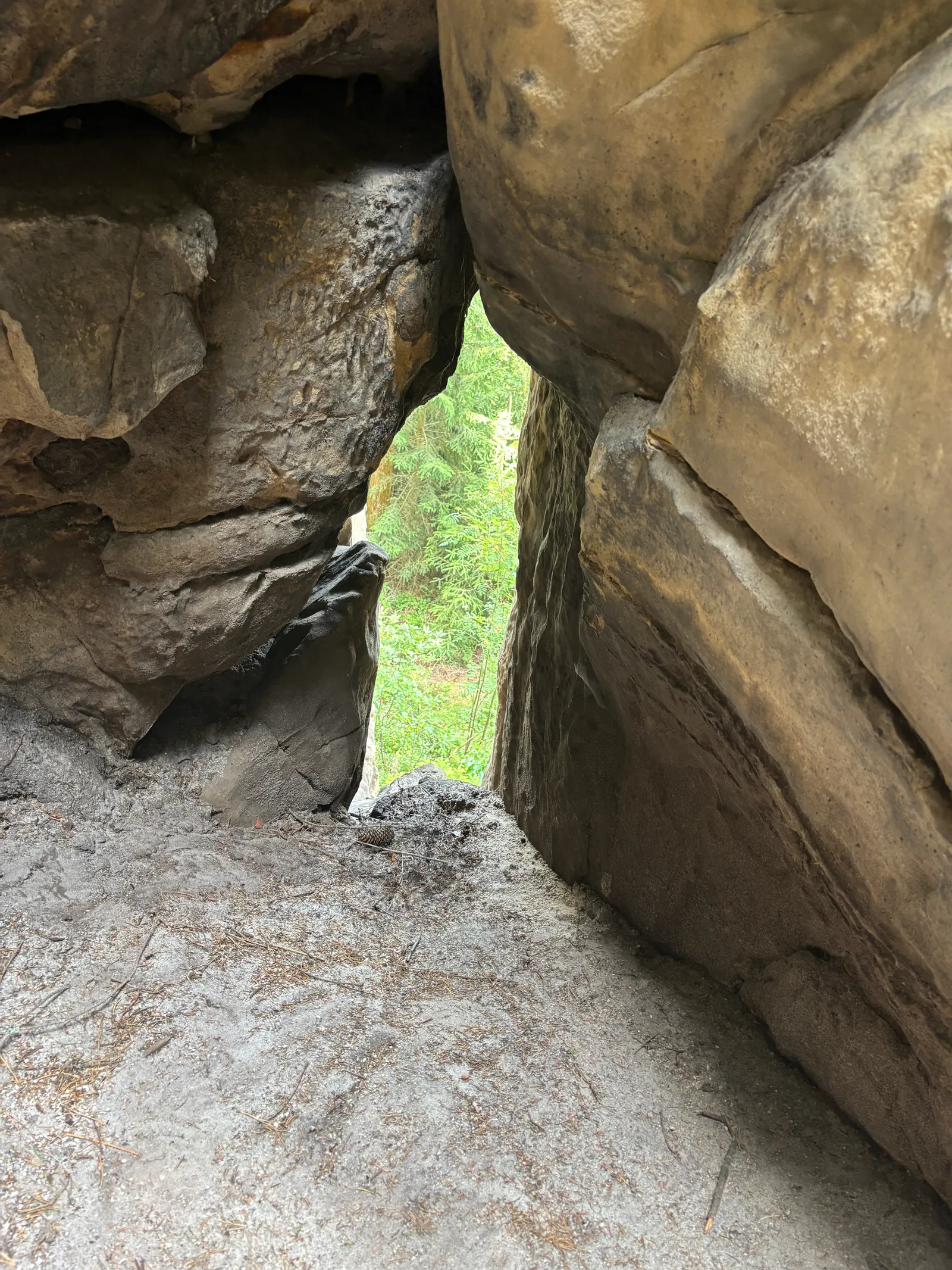
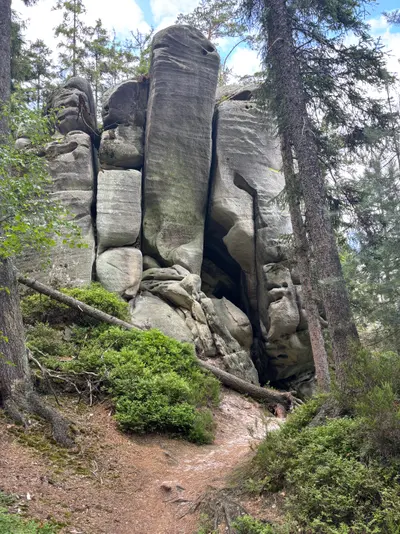
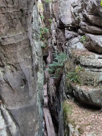
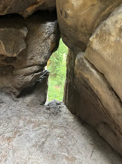
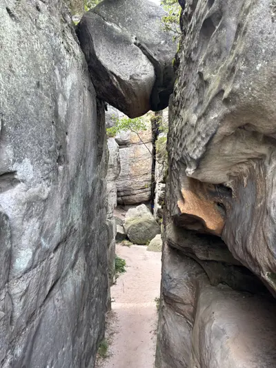
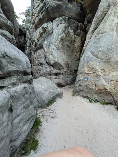
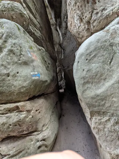
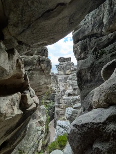
The third day climbs back onto the wall via Křinice and Amerika to Hvězda, Dientzenhofer’s star chapel on the cliff edge, with the basin below. From there the route follows the ridge and drops through Hlavňov again towards Ostaš, the last goal. Walk the labyrinths on the table hill, the Kočičí skály and the tight squeeze of the Sluj Českých bratří. The descent ends at the Žďár nad Metují rail stop, with trains towards Náchod and home.
Practical info
| Start | Kudowa-Zdrój railway station, by train, bus |
|---|---|
| End | Žďár nad Metují railway stop, by train, bus |
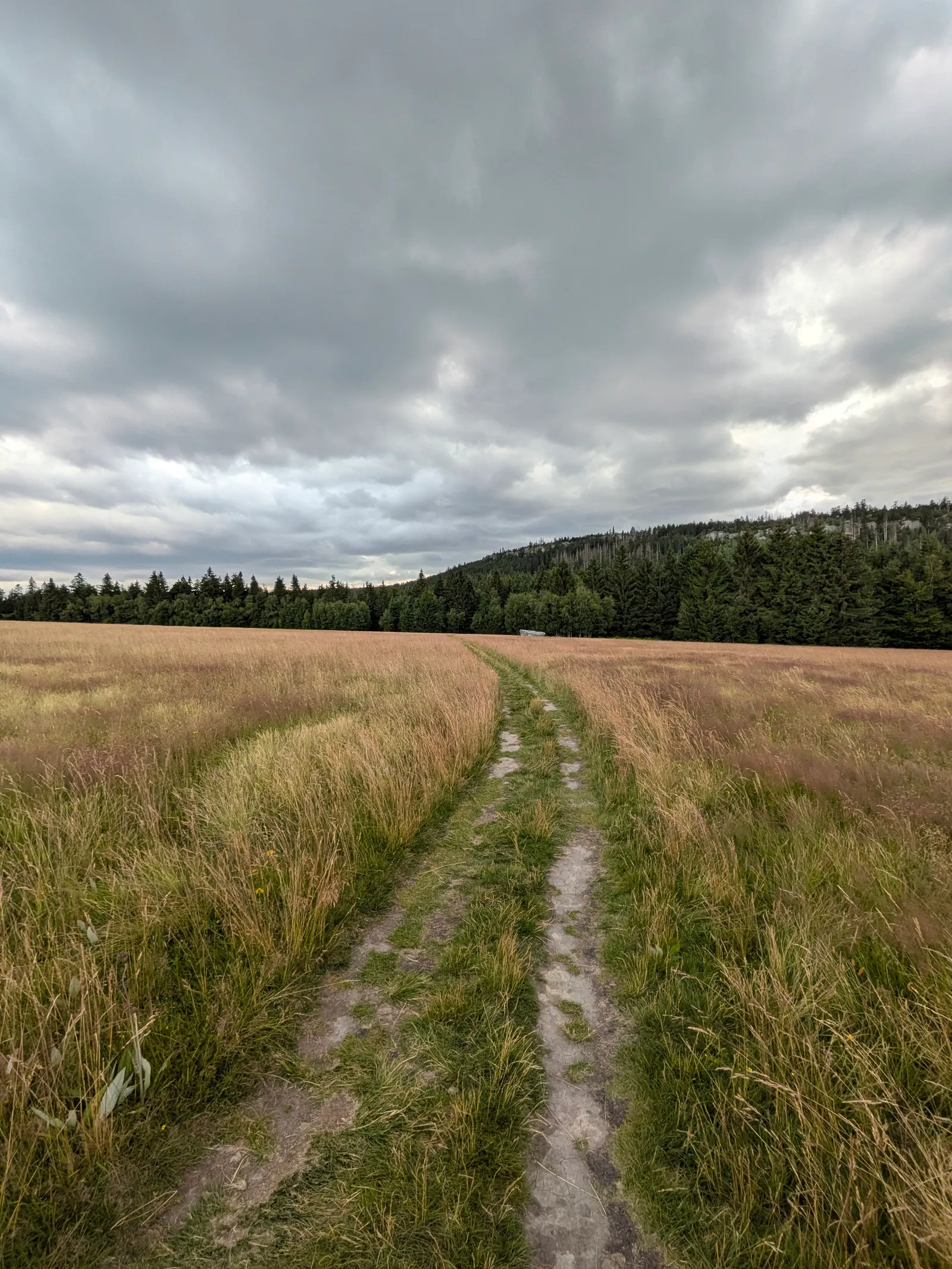
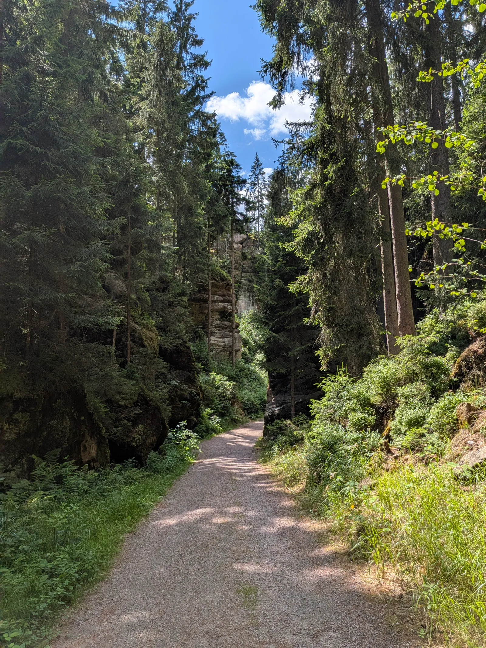
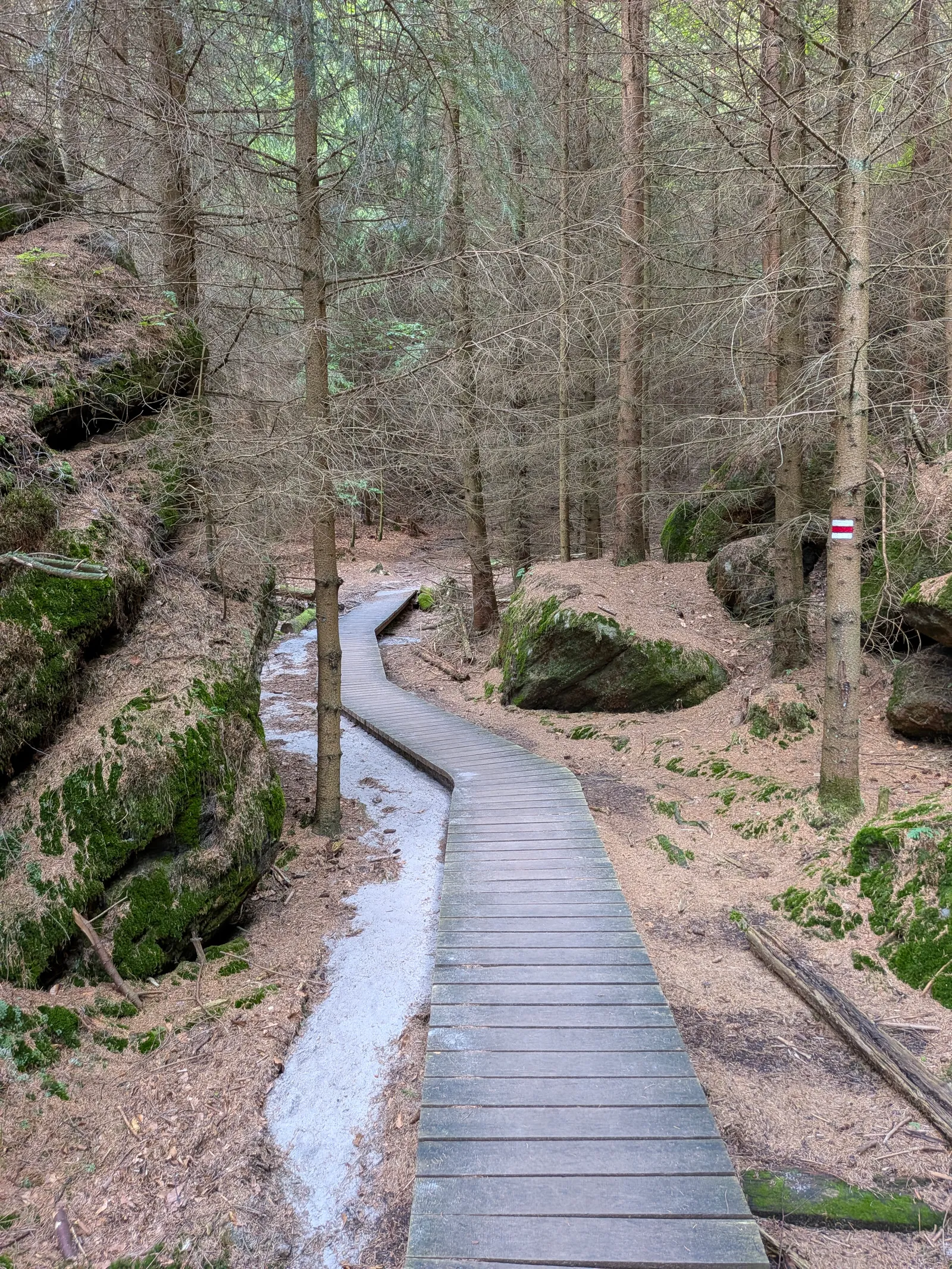
| Terrain | forest path |
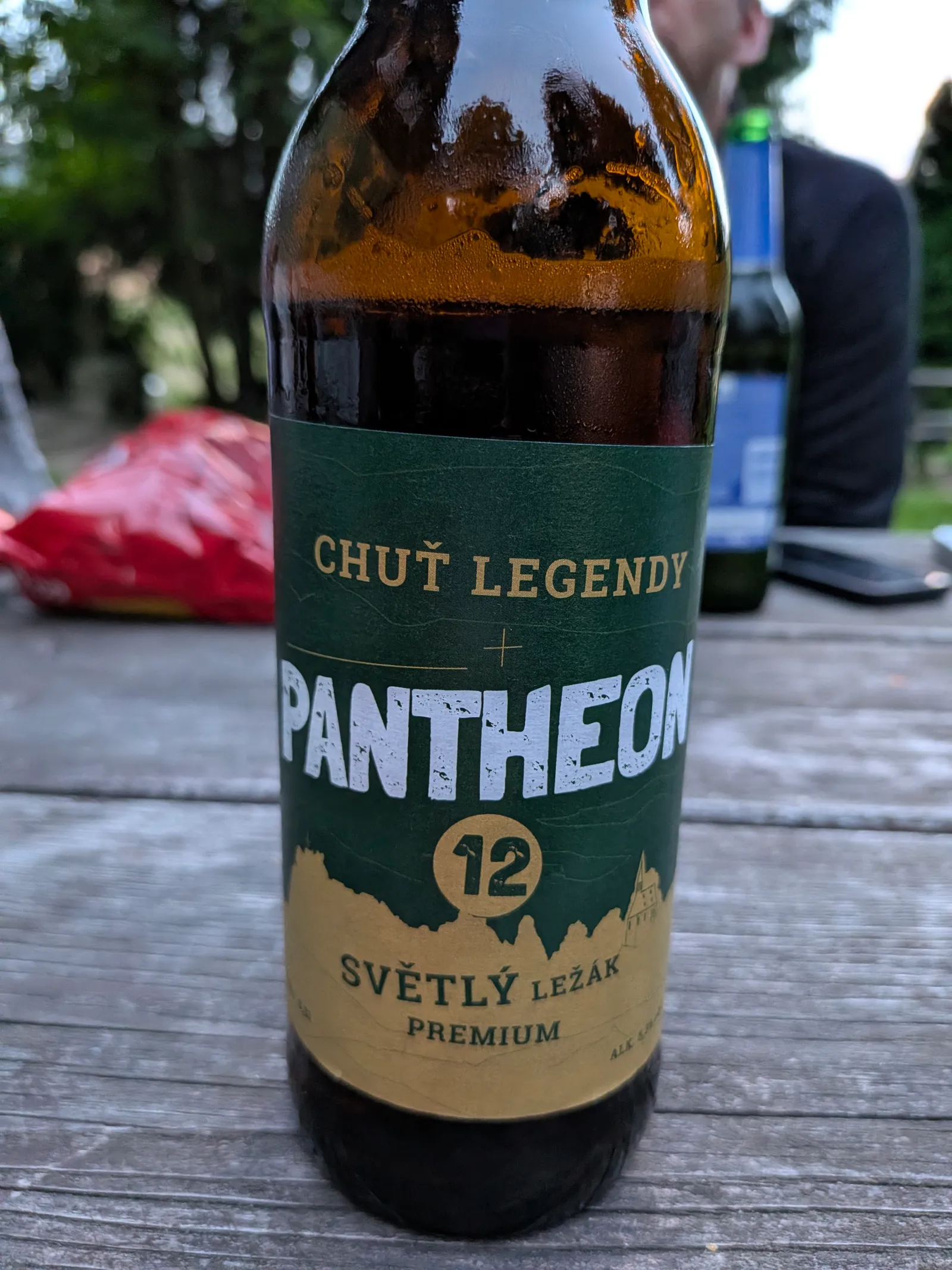
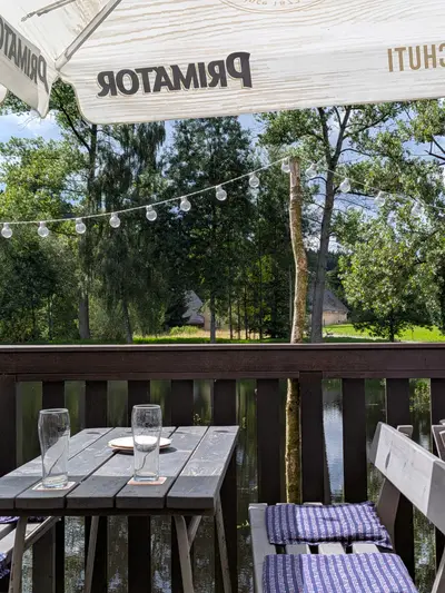
| Food & water | Schronisko Pasterka (hut, km 13). mountain hut with beds and meals, the day-1 overnight Pub (Hlavňov) (pub, km 32). good stop under the Skalní divadlo climb |
| Links | Open route on Mapy.com |
| GPX | Download track |
On the way
-
Błędne skały
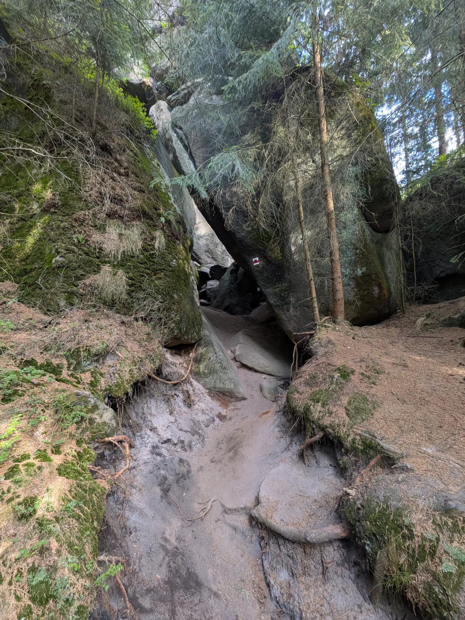
A rock labyrinth on the Polish side of the Góry Stołowe. A one-way squeeze through corridors sometimes shoulder-wide, between mushroom rocks at 850 m.
-
Broumovské stěny
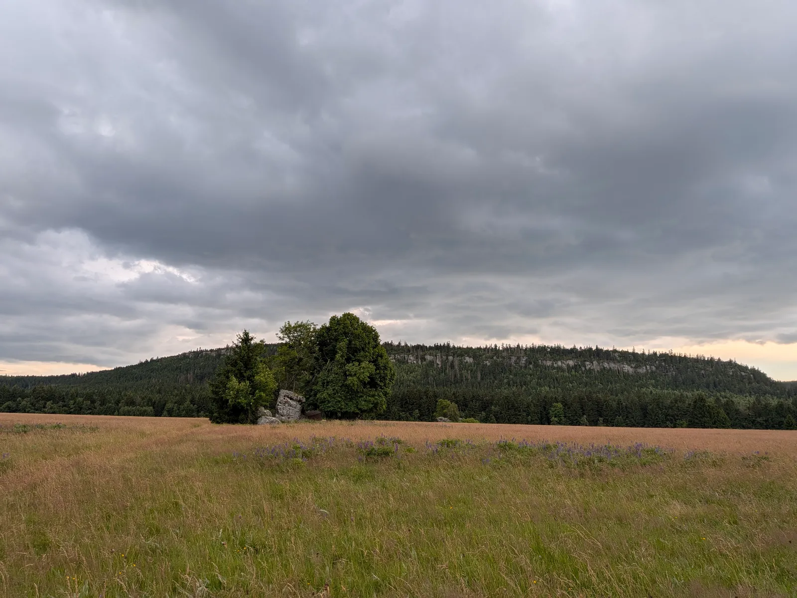
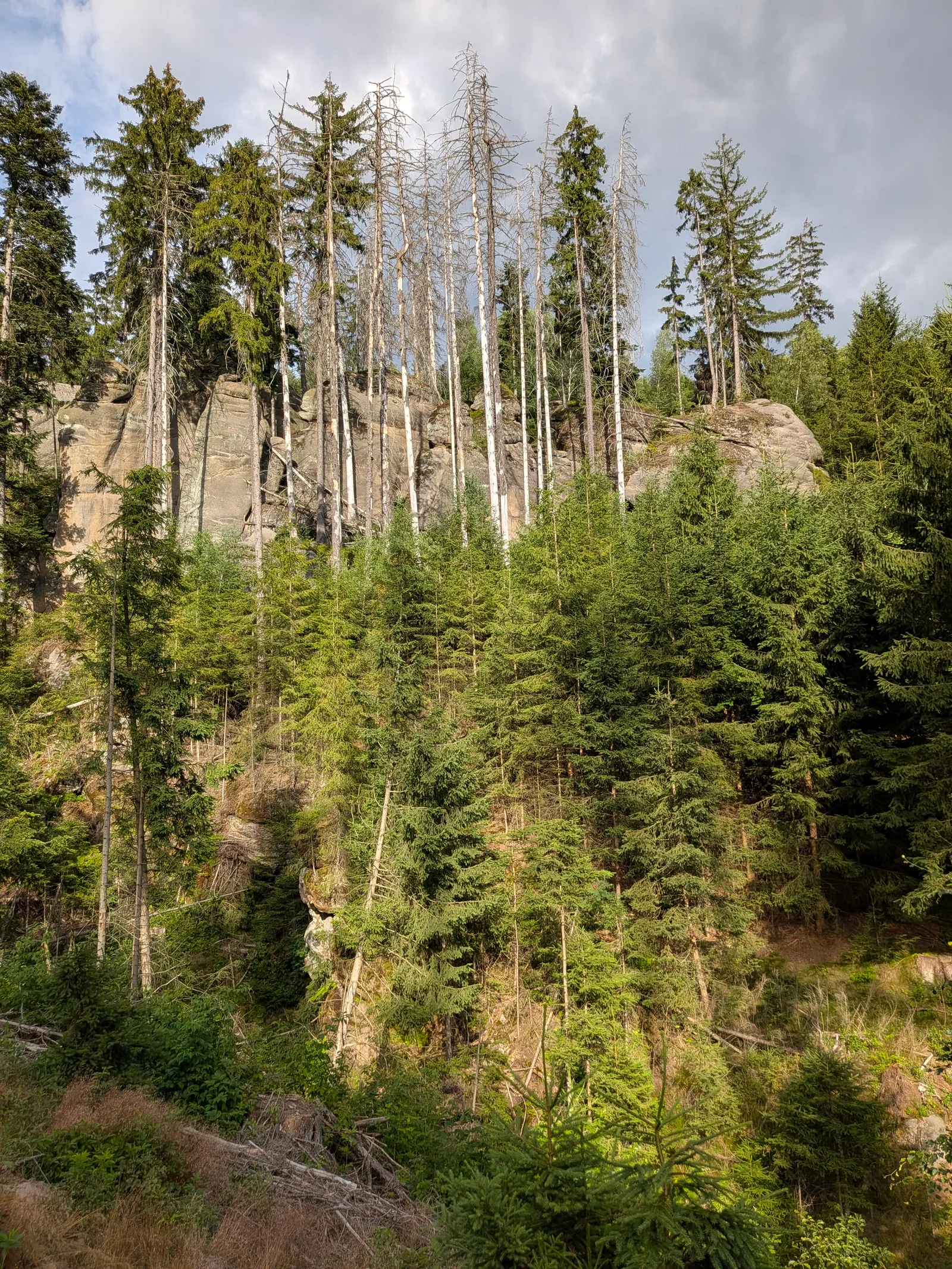
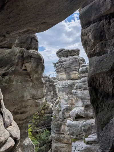
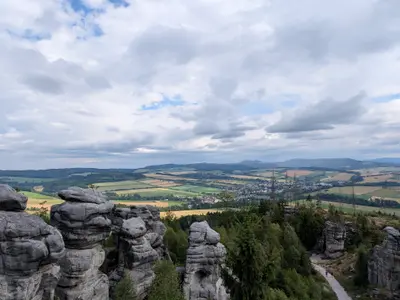
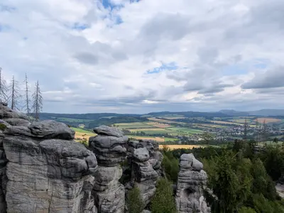
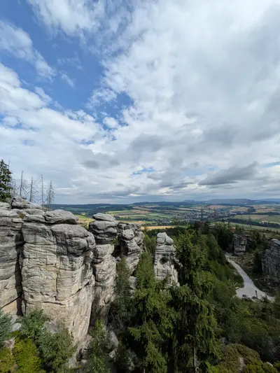
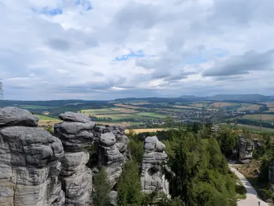
The sandstone wall between the Broumov and Police basins. A national nature reserve ridge of rock gates, caves and the Skalní divadlo amphitheatre, topped by Božanovský Špičák at 773 m.
-
Hvězda (Broumovské stěny)
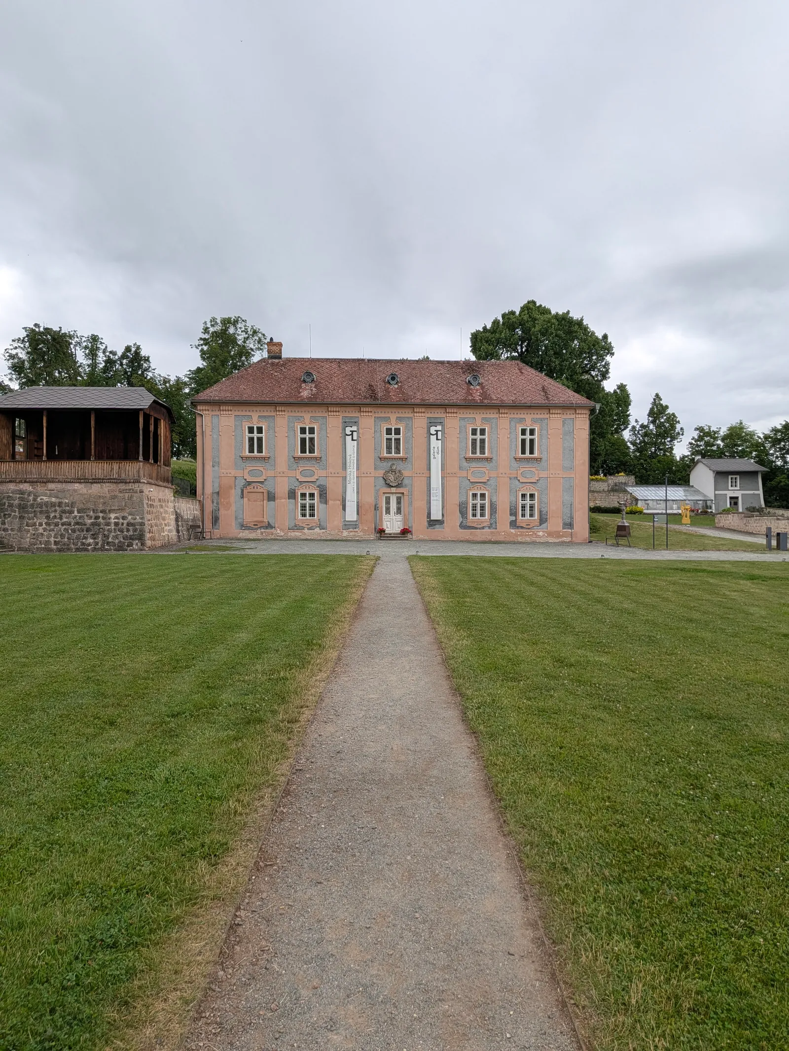
Dientzenhofer's star-shaped chapel of Our Lady of the Snows (1733) on the cliff edge of the Broumovské stěny, with a Swiss-style wooden chalet beside it and the whole Broumov basin below.
-
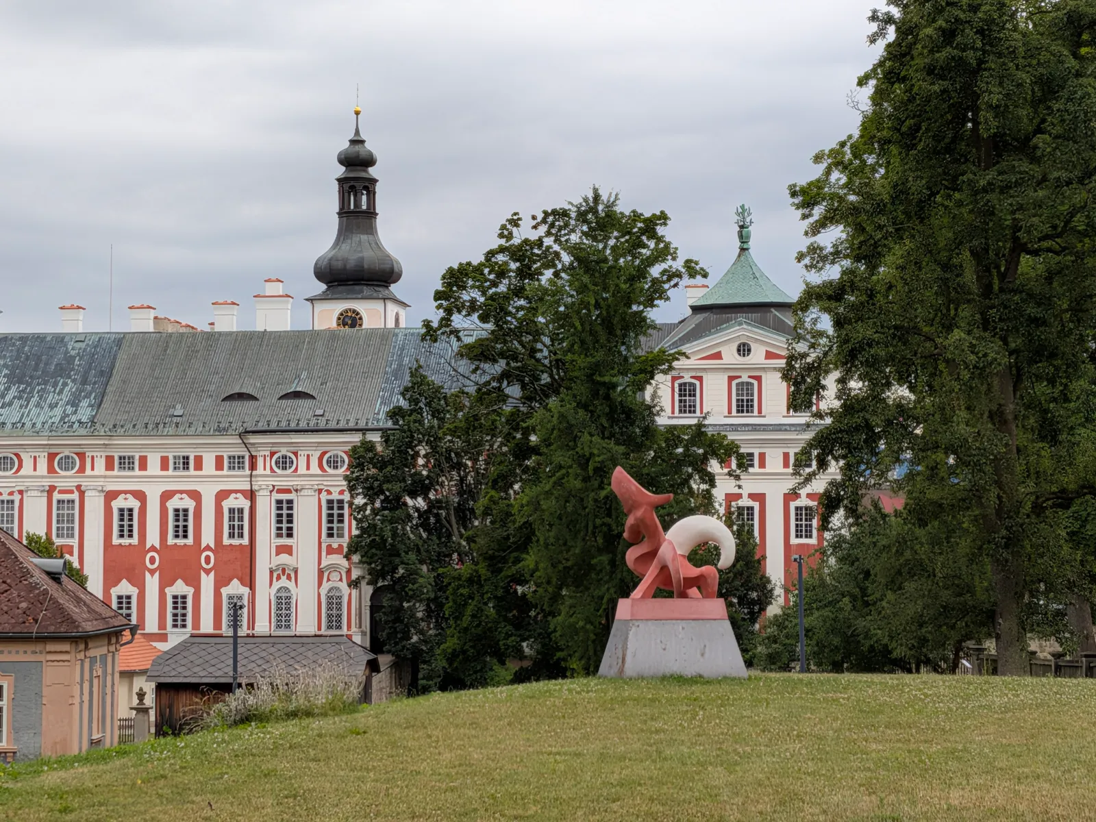
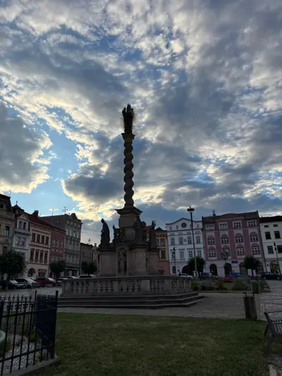
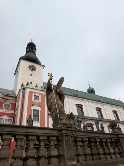
Broumov
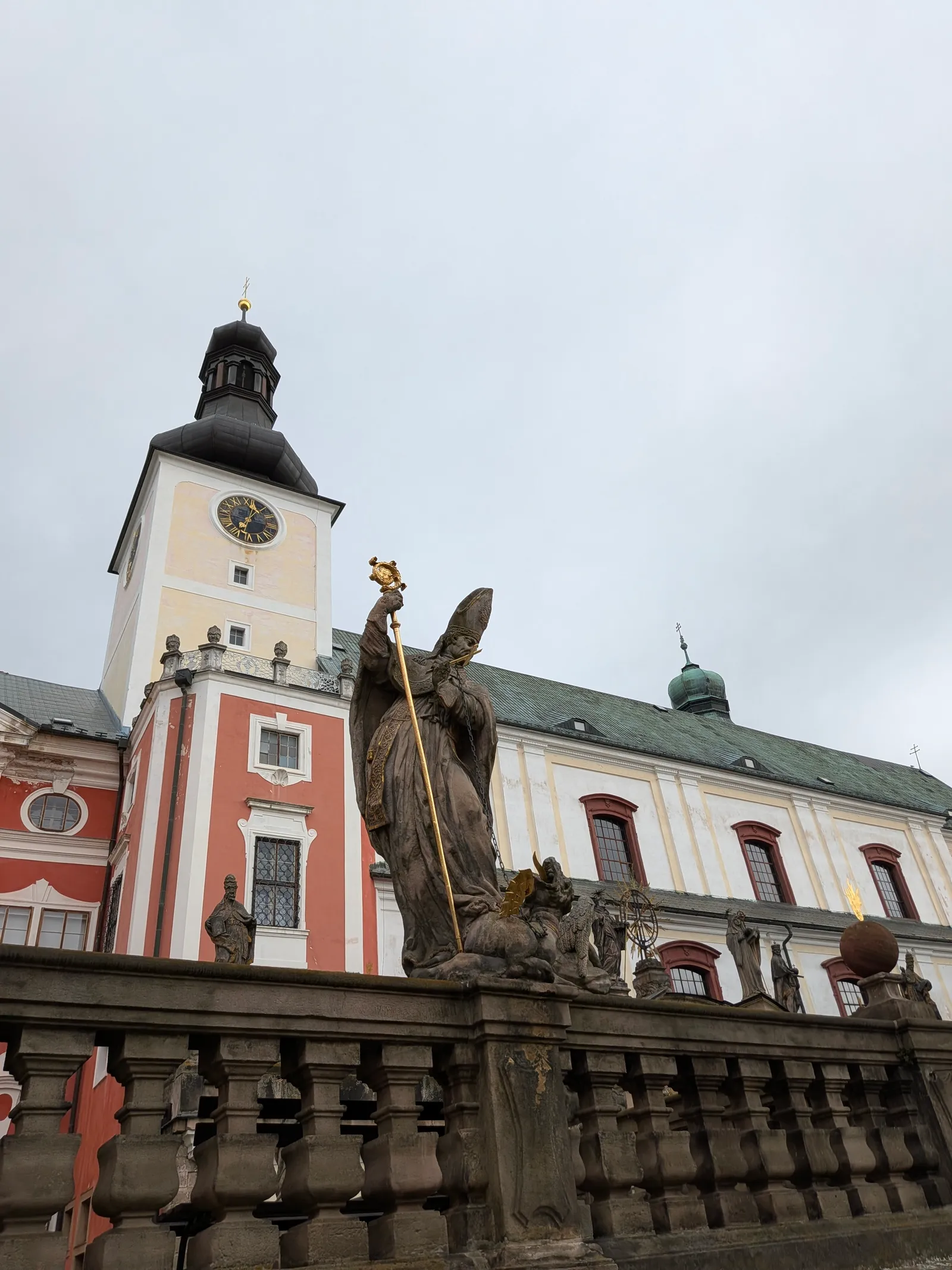
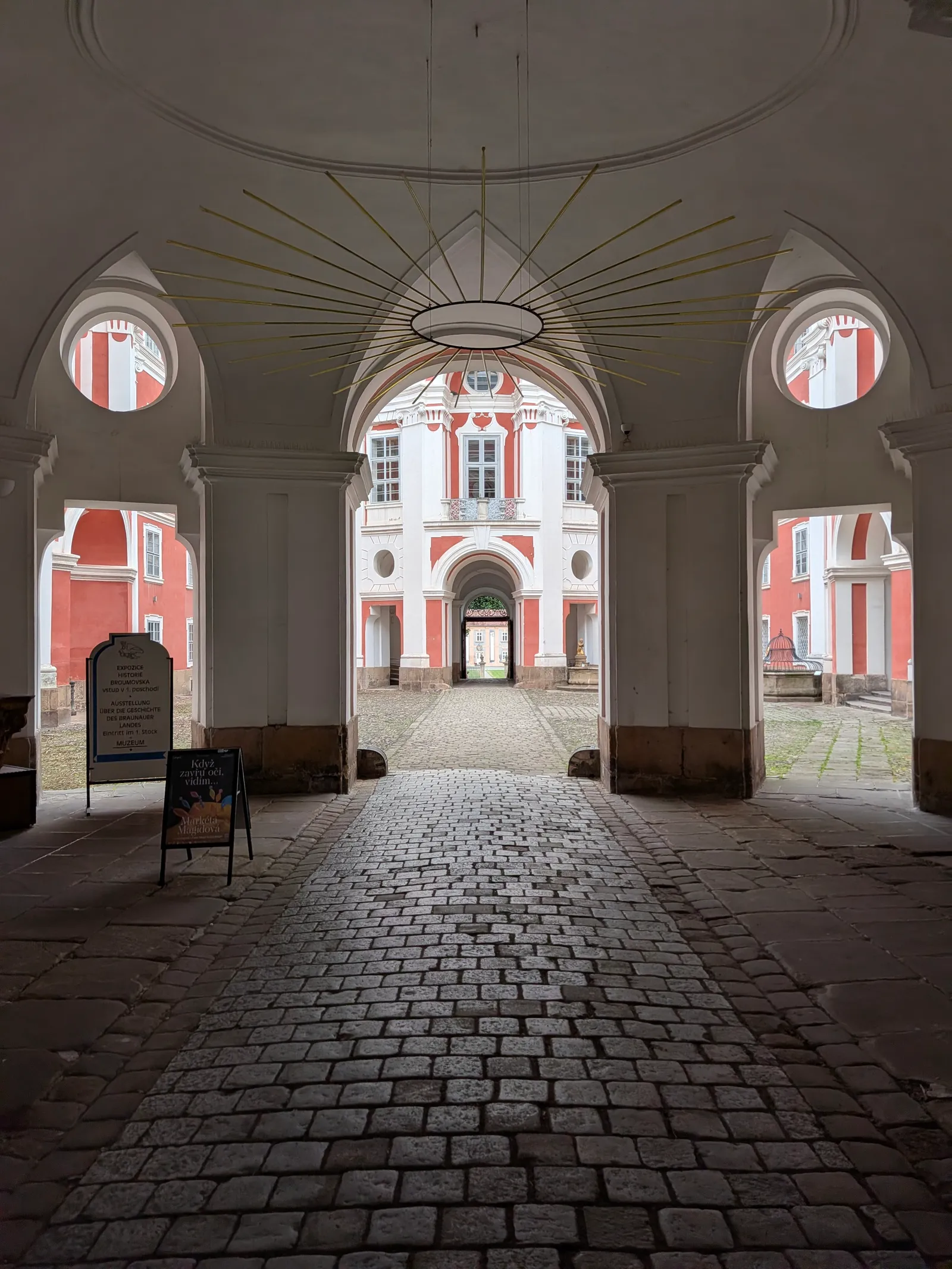
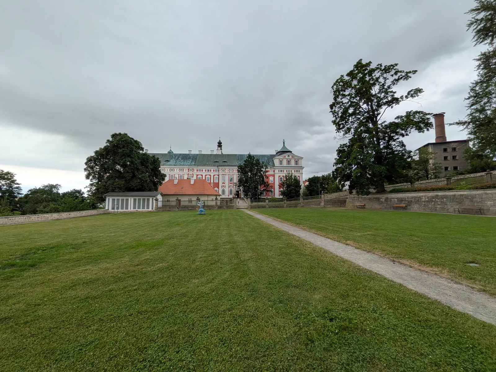
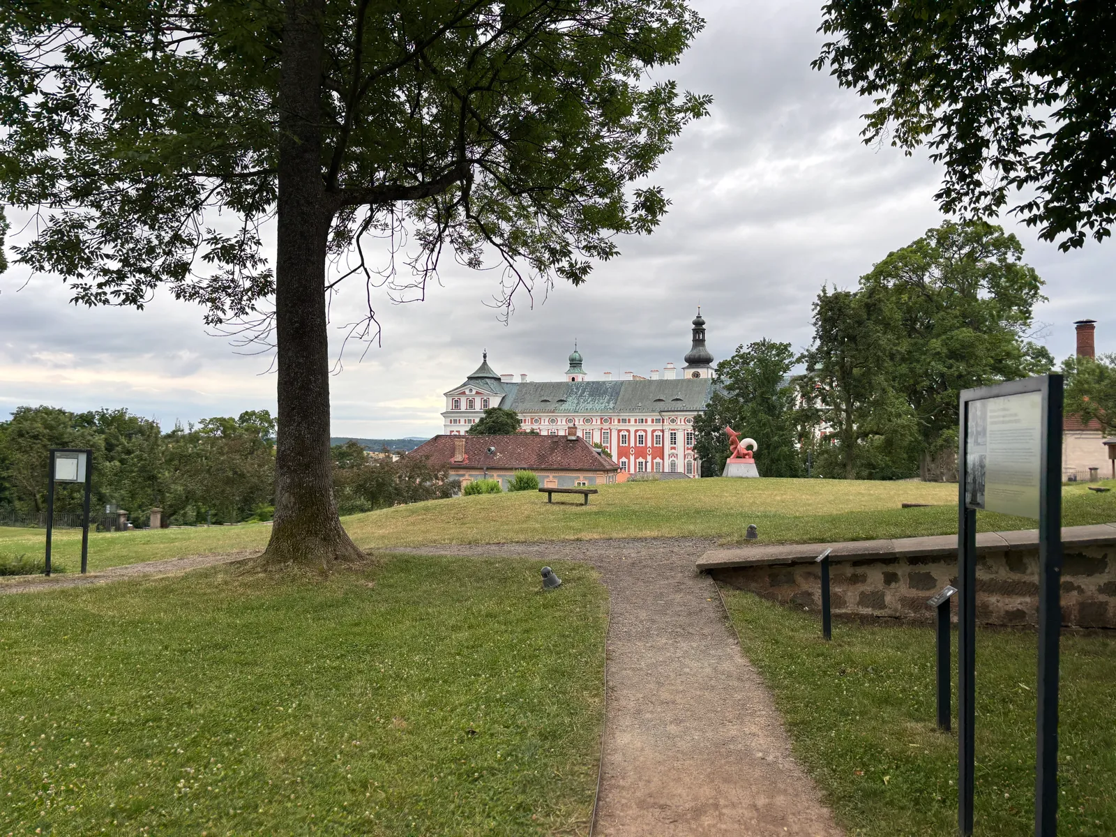
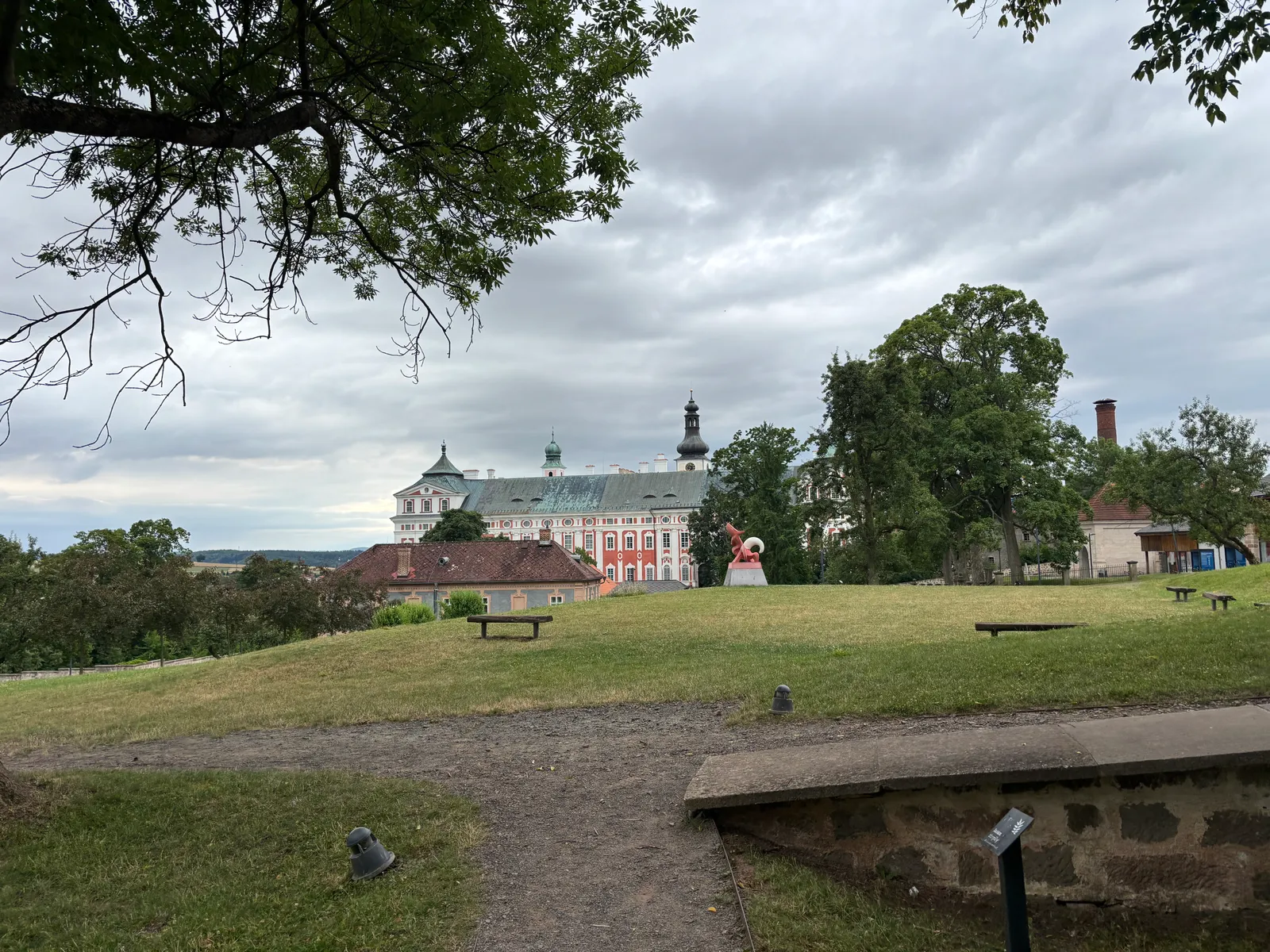
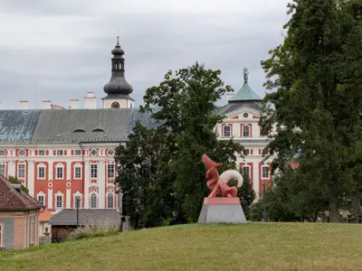
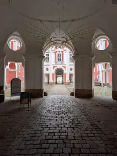
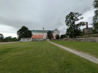
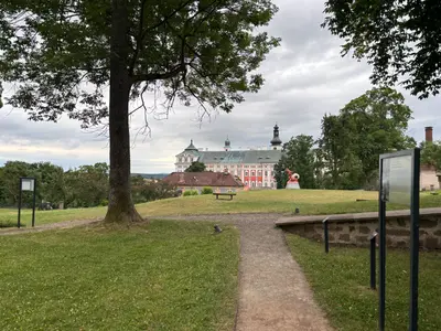
The monastery town of the basin. The Benedictine complex rebuilt by the Dientzenhofers keeps a rare Turin Shroud copy, and the town has full services for hikers crossing the stěny.
-
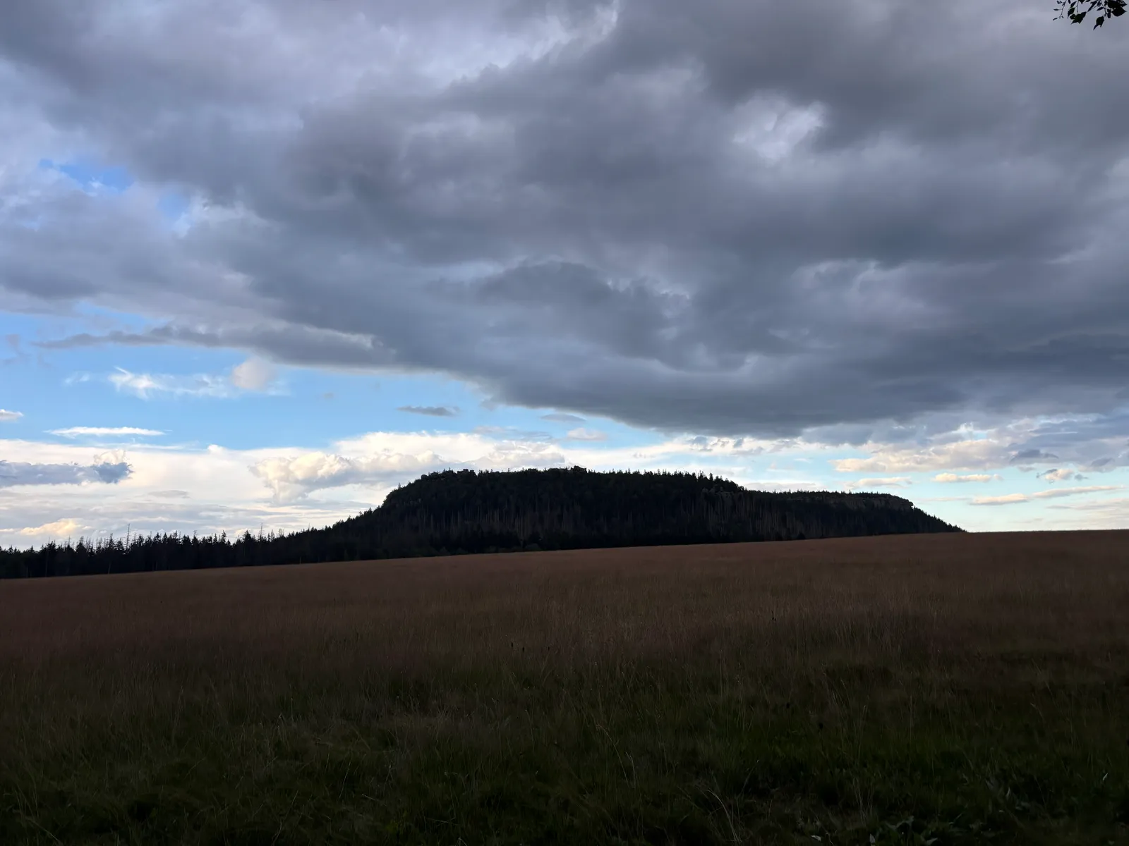
Ostaš
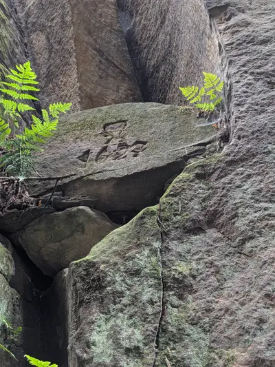
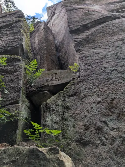
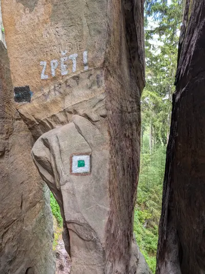
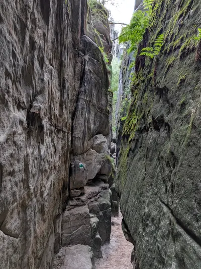
A table hill above Police nad Metují with two rock labyrinths and the Sluj Českých bratří, the cave where the Bohemian Brethren hid after White Mountain.
Photos
-
-
km 2.87 -
km 2.87 -
km 2.87 -
km 4.83 -
km 5.68 -
km 5.86 -
km 6.47 -
km 8.45 -
-
km 8.45 -
km 8.45 -
km 8.45 -
km 8.45 -
-
km 9.44 -
km 9.44 -
km 9.44 -
km 9.44 -
km 9.44 -
-
-
-
km 11.99 -
km 11.99 -
km 11.99 -
km 12.3 -
km 12.3 -
km 12.3 -
km 12.42 -
km 12.56 -
km 13.21 -
-
km 13.21 -
km 13.21 -
km 13.21 -

km 13.21 -
km 13.21 -
km 13.72 -
km 15.03 -
-
-
-
km 15.36 -
-
-
-
-
-
-
km 15.35 -
-
km 16.93 -
km 17.53 -
-
-
-
km 19.59 -
-
km 21.94 -
km 24.28 -
-
km 24.06 -
-
km 25.82 -
-
km 29.99 -
km 32.47 -
km 32.95 -
km 32.47 -
km 33.08 -
km 33.08 -
-
km 33.51 -
km 33.55 -
-
-
km 33.63 -
km 33.63 -
km 33.63 -
-
km 33.9 -
km 33.9 -
km 33.9 -
km 34.38 -
-
km 34.38 -
-
km 35.25 -
km 35.25 -
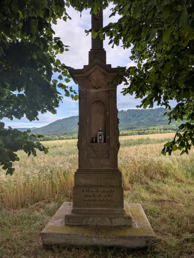
km 36.64 -
km 38.6 -
km 38.6 -
km 38.26 -
km 38.85 -
-
km 39.14 -
km 39.14 -
km 39.14 -
km 40.68 -
km 40.81 -
km 40.85 -
km 41.17 -
km 41.24 -
km 41.24 -
km 41.36 -
-
km 41.36 -
km 41.36 -
km 41.76 -
km 41.76 -
km 41.82 -
km 41.82 -
-
-
km 41.82 -

-
km 42.89 -
km 44.37 -
km 45.37 -
km 46.02 -
km 46.69 -
km 46.69 -
km 47 -
-
km 47.88 -
km 49.42 -
km 50.17 -
km 51.05 -
km 51.17 -
km 51.25 -
-
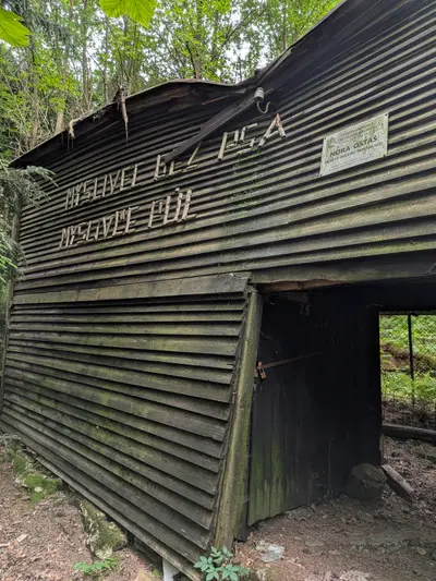
km 52.55 -
km 52.95 -
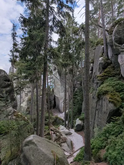
km 53.45 -
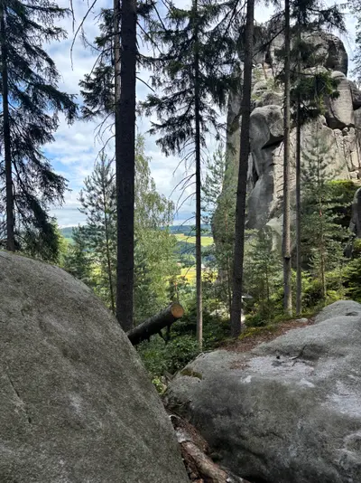
-
-
km 53.45 -
-
km 52.37 -
km 52.37 -
km 52.37 -
km 52.37 -
km 53.45 -
-
-
-
-
km 55.22 -
km 55.43 -
km 58.99 -
km 55.7 -
km 55.43 -
km 55.43 -
km 55.43 -
km 55.43 -
km 55.43 -
km 55.43 -
-
km 55.43 -
km 55.43 -
km 55.43 -
km 55.7 -
km 55.69 -
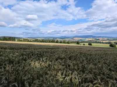
km 57.15 -
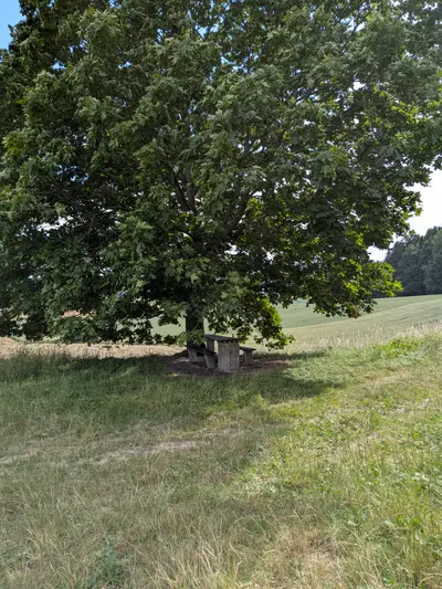
km 57.56 -
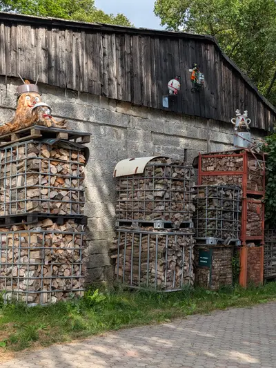
km 58.1 -
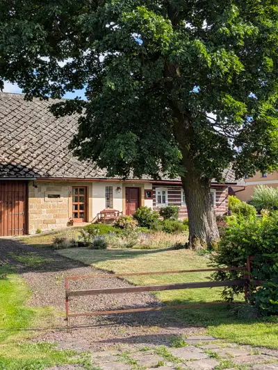
km 58.99 -
-
-
-