Over Plešivec to Dobříš
Brdy · Point to point · hiked 9 March 2024
A 25.3 km Hřebeny traverse from Lochovice over Plešivec — Bronze Age ramparts and the Čertova kazatelna view — then the long forest ridge to Dobříš.
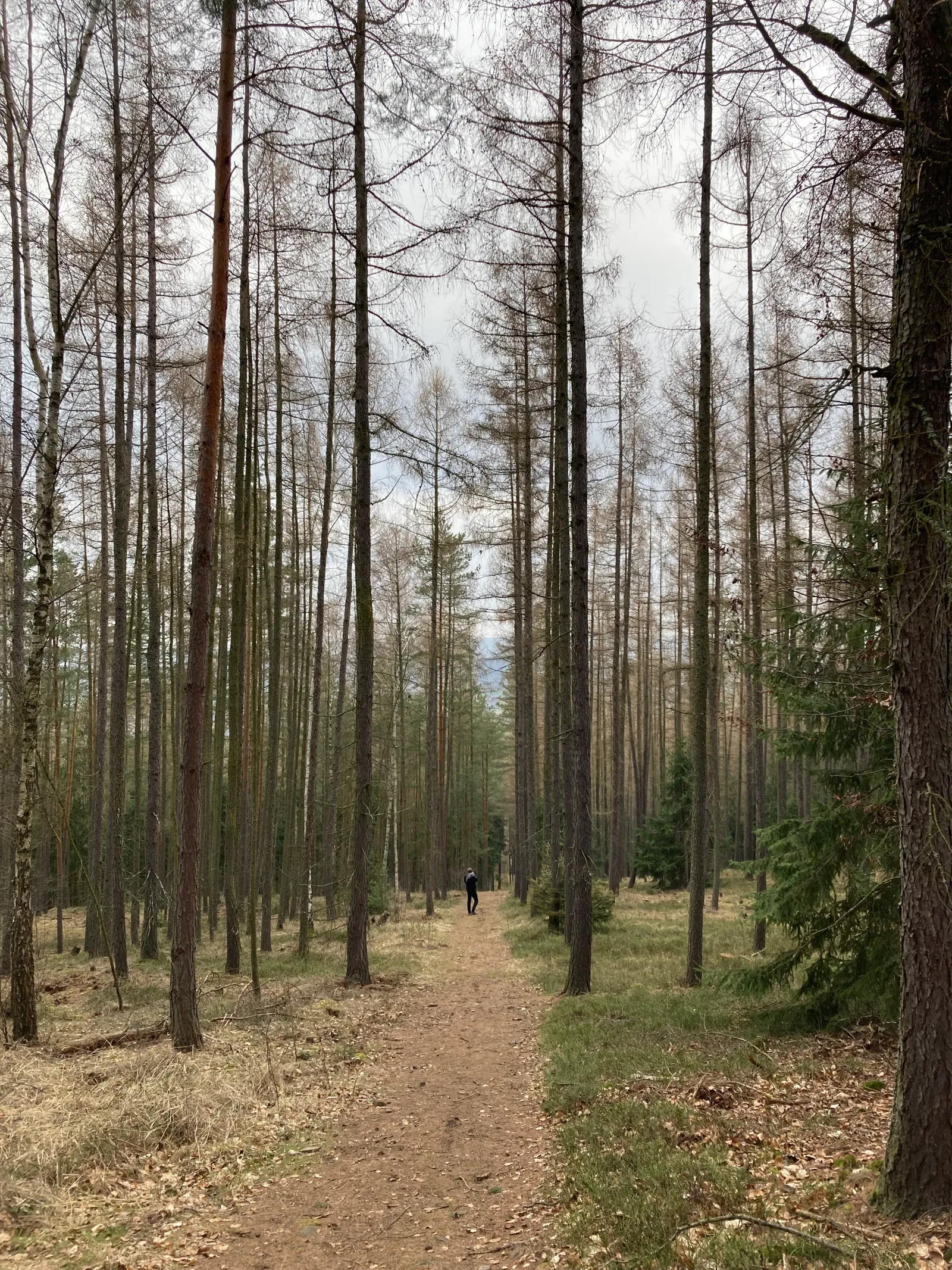
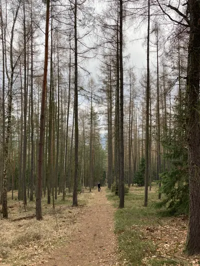
One real climb at the start, then long, even forest kilometres — this is the kind of route where you settle into a rhythm and let the woods pass. March, with bare trees and empty trails, suits it well.
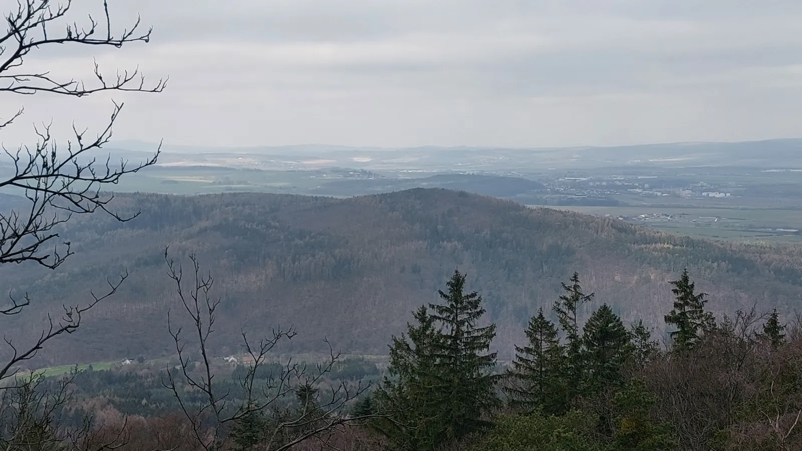
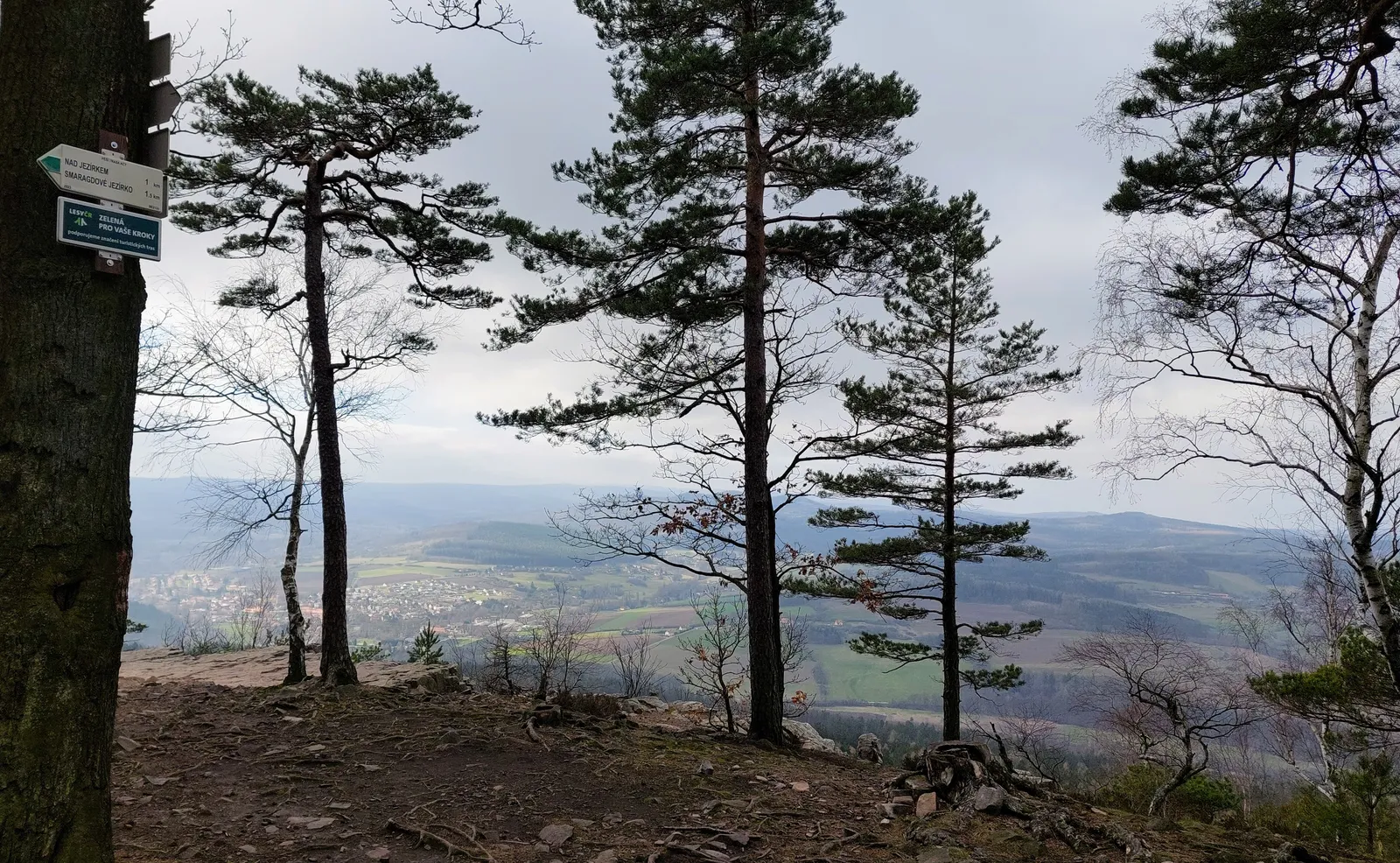
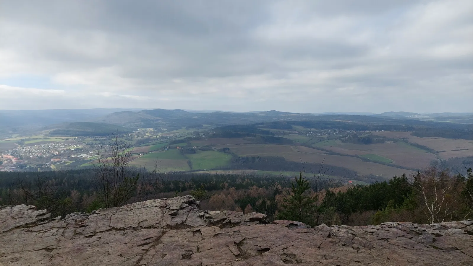
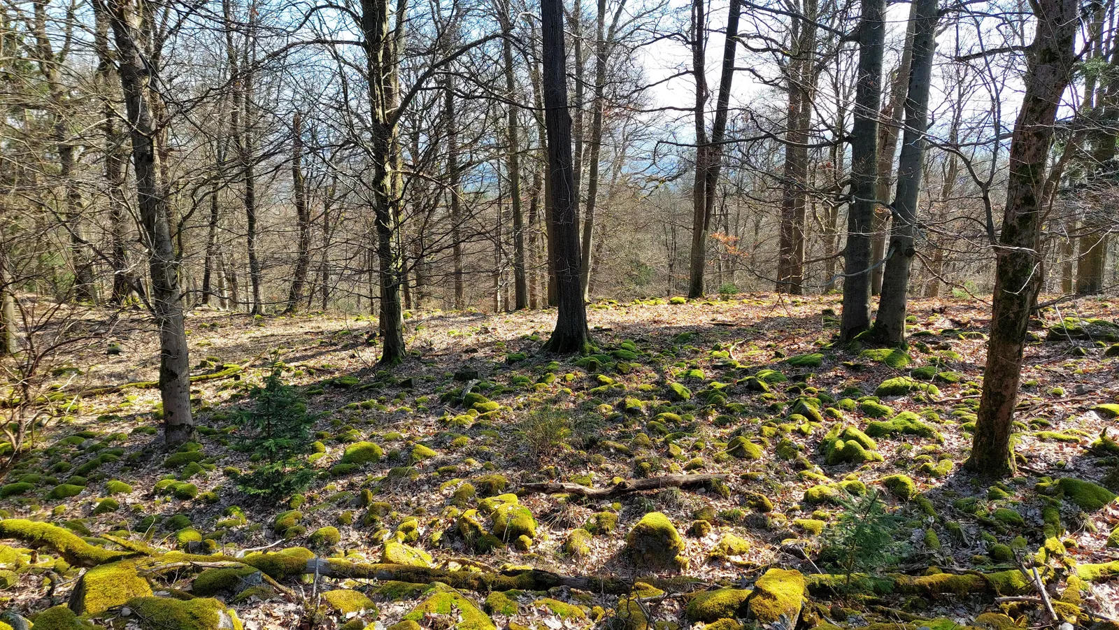
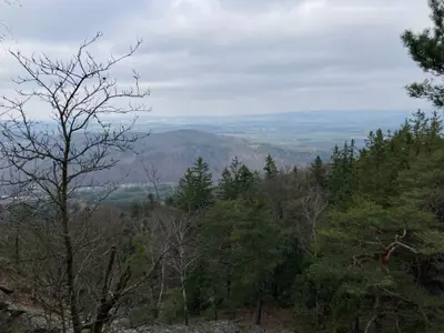
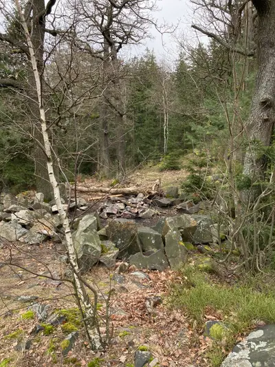
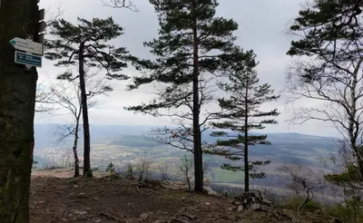
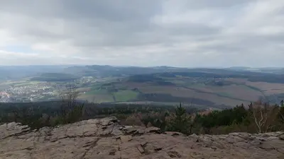
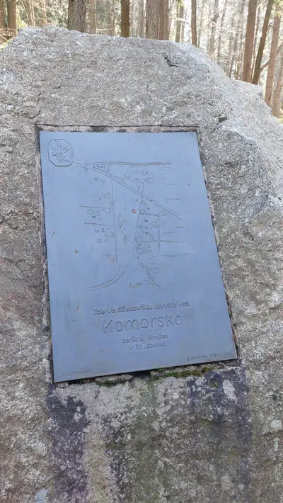
From Lochovice station the red waymark climbs steadily to Plešivec, the day’s summit and its story: the whole top is ringed by Bronze Age ramparts, and the Čertova kazatelna rock just below gives the one big view — across the Litavka to the main Brdy ridge. It is worth pausing here, because the rest of the route keeps its head under the canopy.
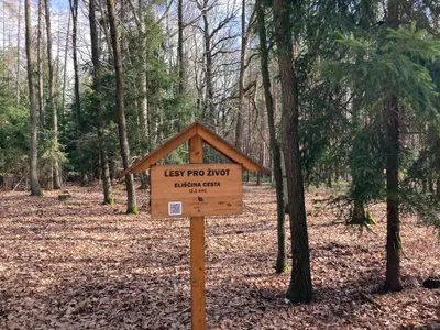
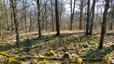
From Plešivec the red trail runs the wooded crest of the Hřebeny east — kilometre after kilometre of forest road walking with the occasional woodcutters’ clearing — to the Čtyřmezí junction, where the yellow waymark takes over and drops off the ridge south into Dobříš. The château and its French garden make a civilised finish if you arrive with daylight; buses and the branch line cover the return to Prague.
Practical info
| Start | Lochovice railway station — by train, bus |
|---|---|
| End | Dobříš — by train, bus |
| Waymarks | red, yellow |
| Terrain | forest path |
| Links | Open route on Mapy.com |
| GPX | Download track |
On the way
-
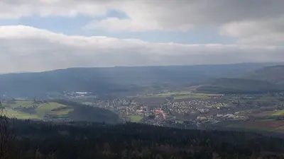
Plešivec (Brdy)
The sacred mountain of the Hřebeny — a 654 m summit ringed by one of Bohemia's largest late Bronze Age hillforts, with the Čertova kazatelna rock viewpoint over the Litavka valley.
-
Dobříš
A town under the Hřebeny with a French-garden rococo château of the Colloredo-Mansfelds — a practical trailhead with buses and trains toward Prague.
Photos
-
-
km 1.53 -
-
-
-
km 5.31 -
km 5.33 -
-
km 10.13 -
km 14.03