Javořice Country to Telč
Vysočina · Point to point · hiked 3 July 2026
A 39.1 km walk across the Javořice highlands from Horní Cerekev to UNESCO-listed Telč, with a night in Počátky on the way.
The walk starts at the Horní Cerekev railway station — from Prague that means a change in Veselí nad Lužnicí.
To Počátky
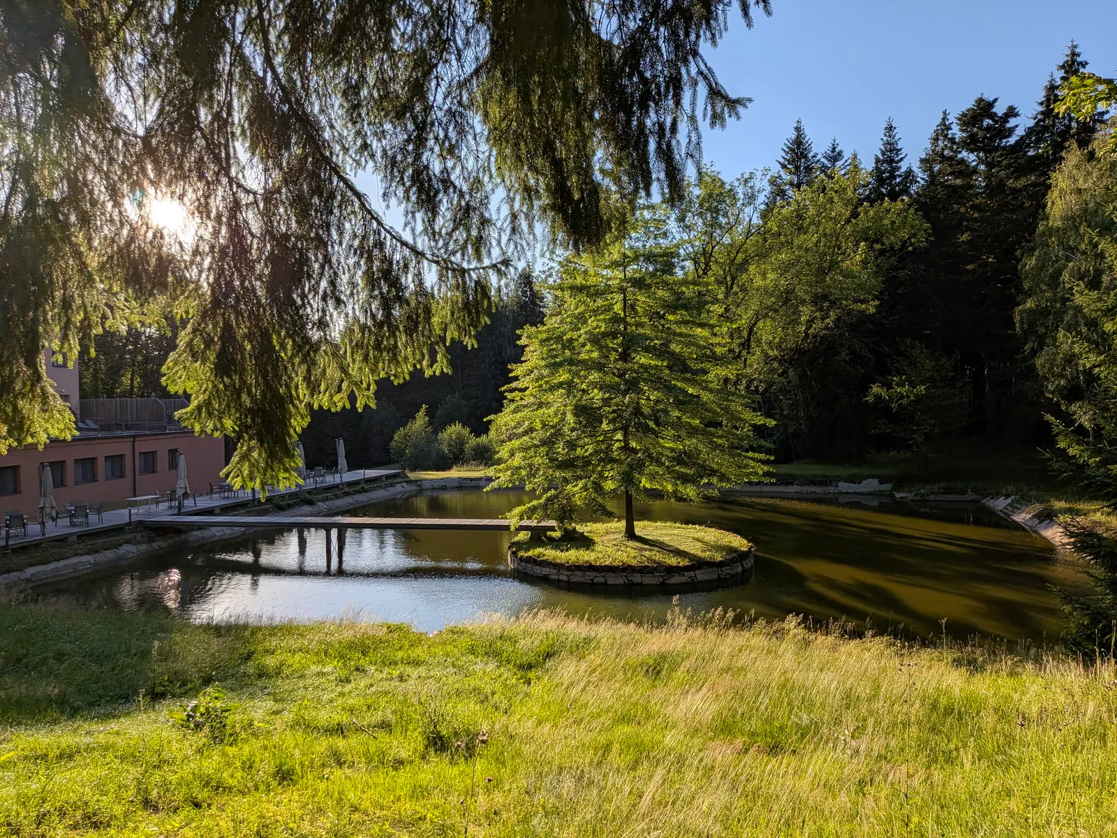
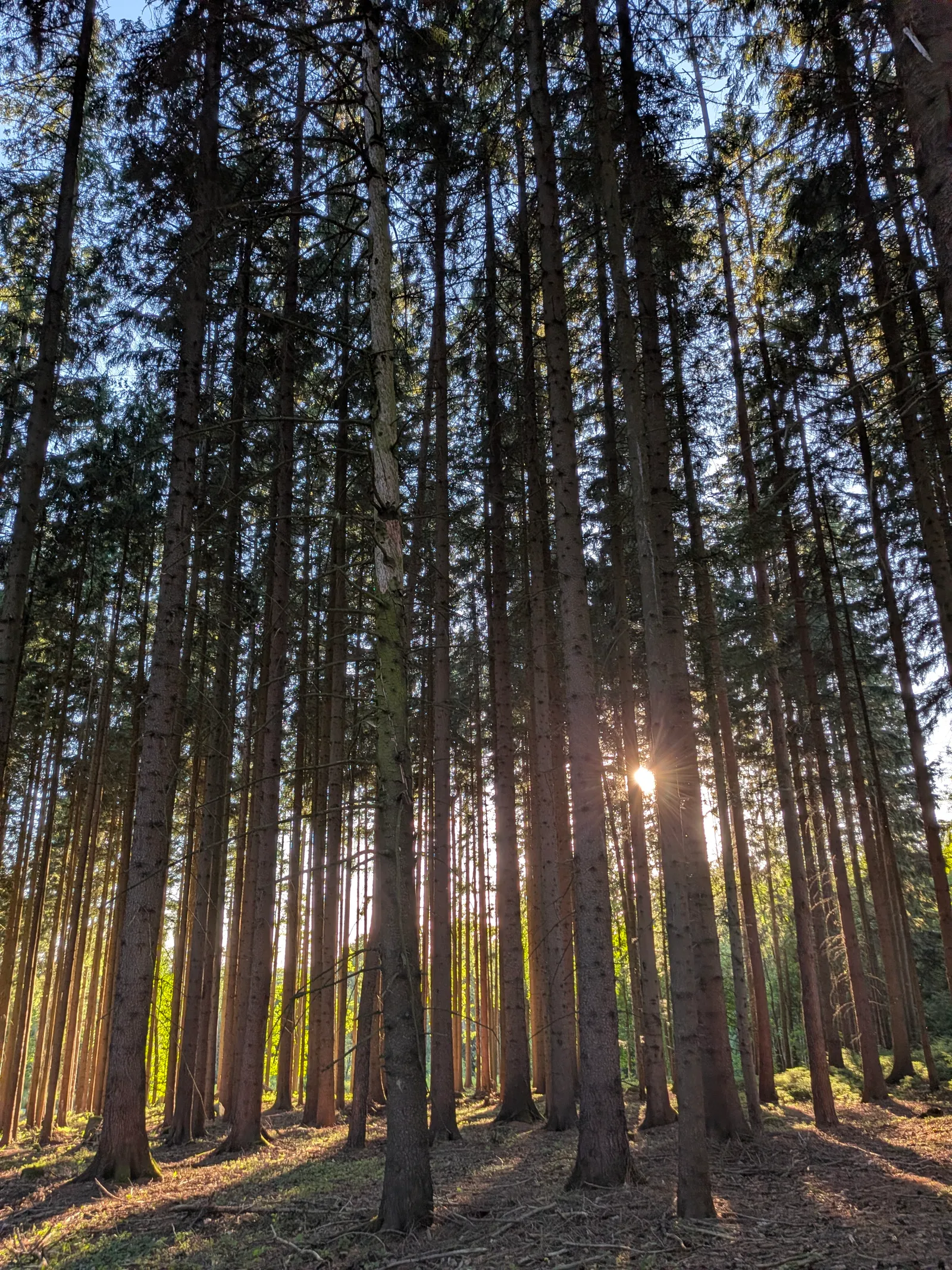
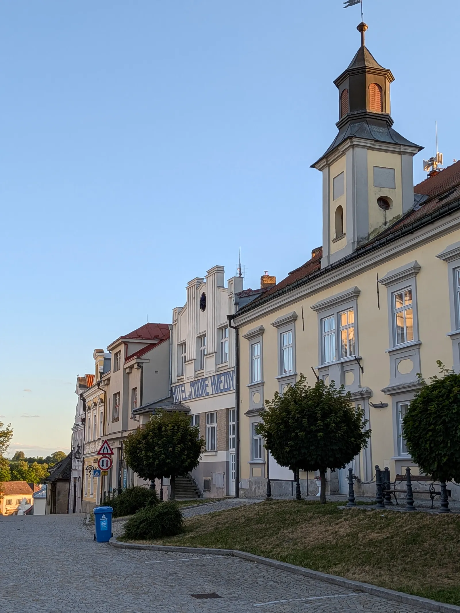
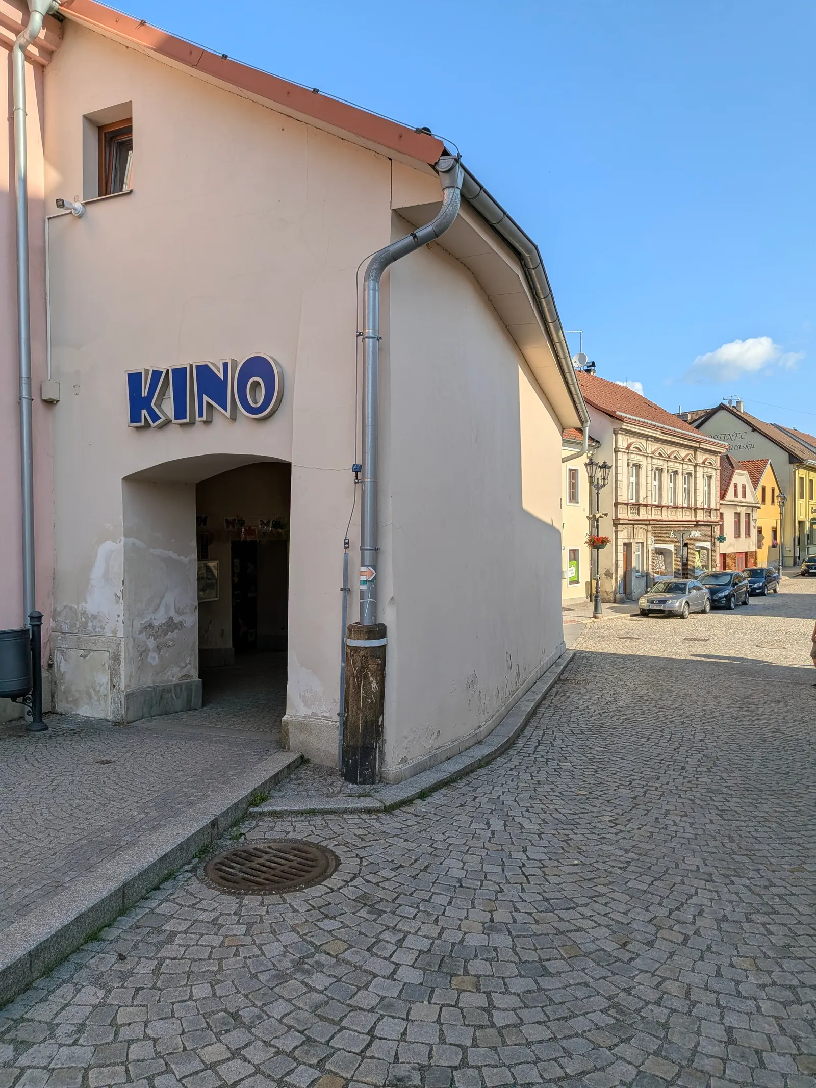
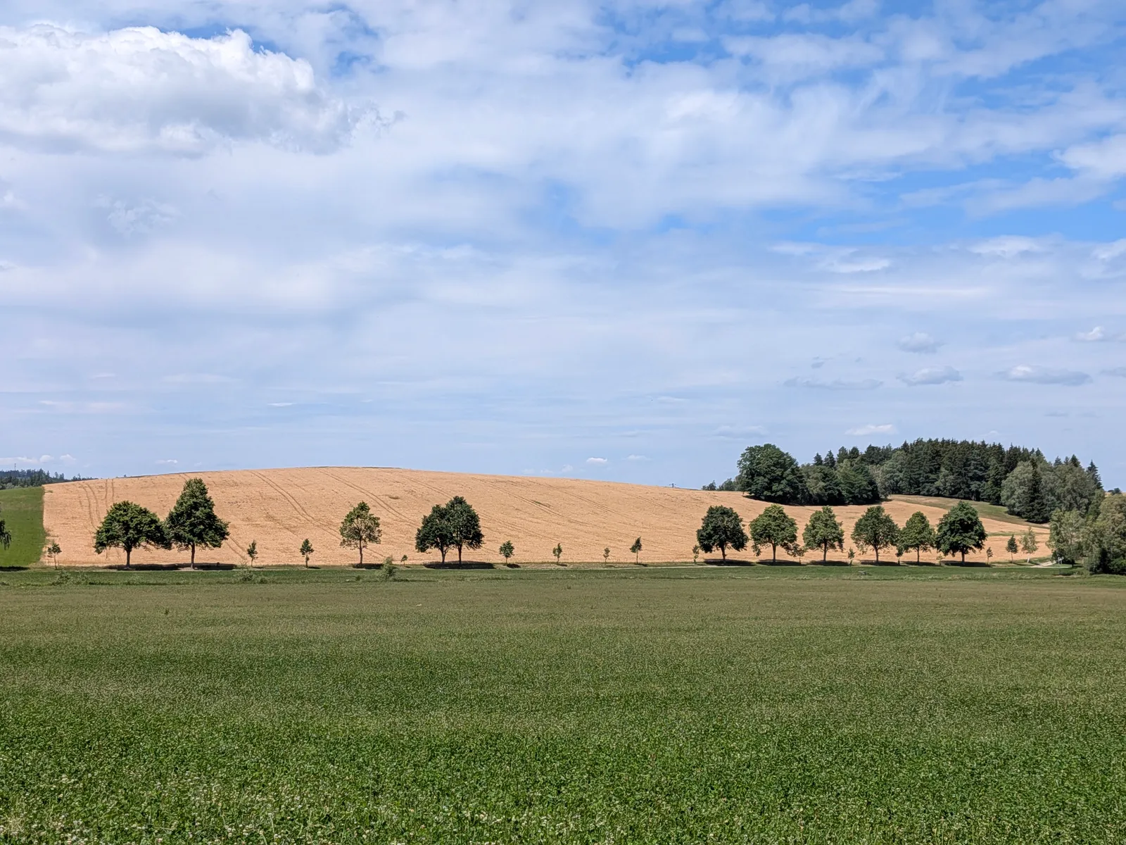
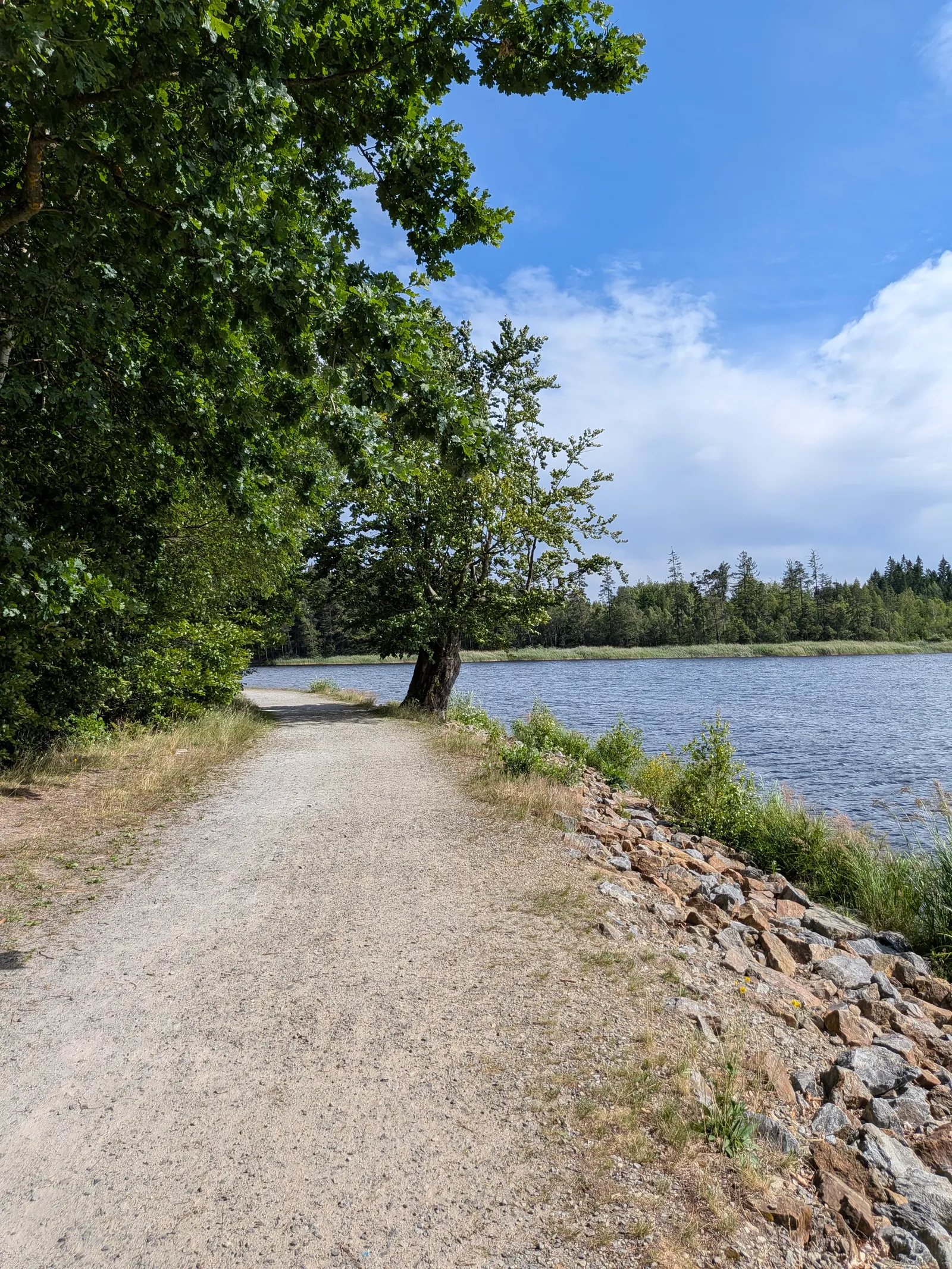
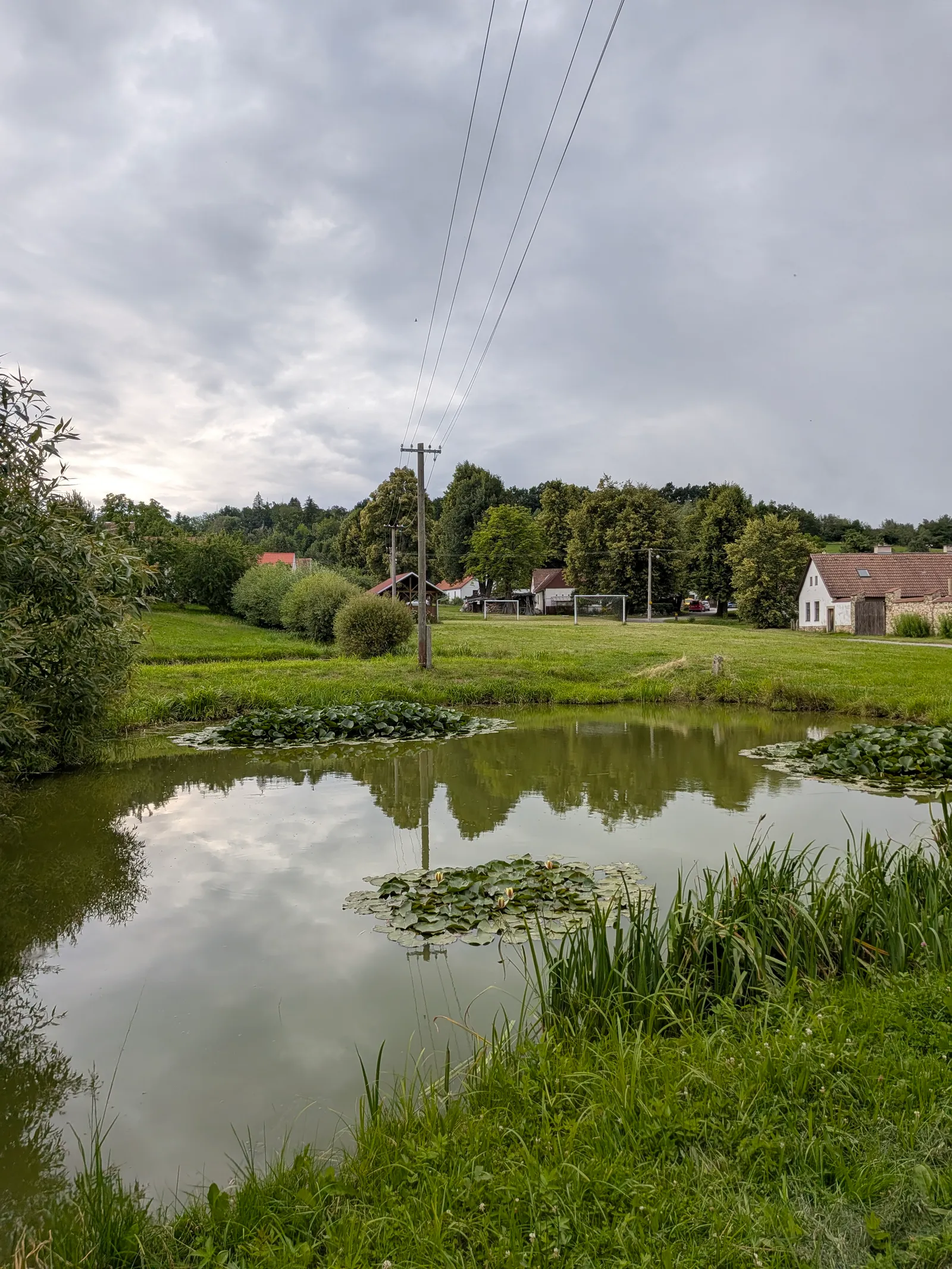
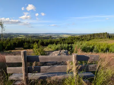
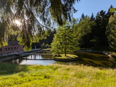
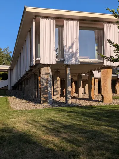
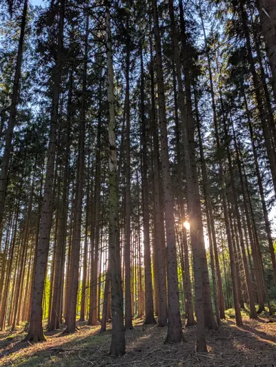
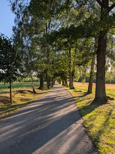
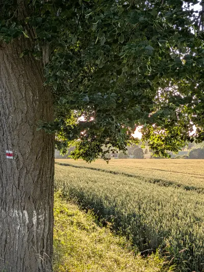
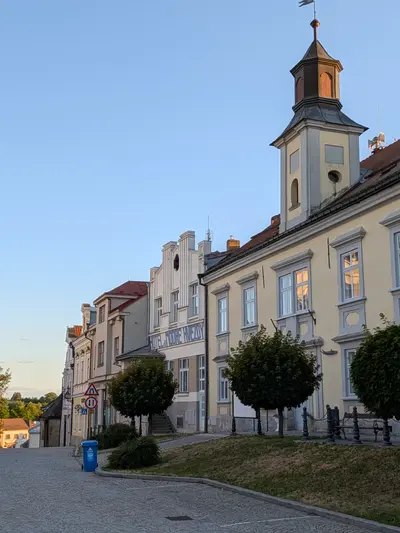
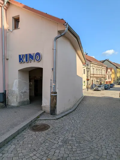
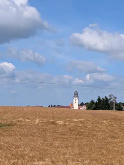
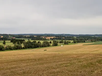
The route eases in gently: rolling highland fields and woods through Horní Ves and Lísek, then the forest around Svatá Kateřina, a small woodland spa by a chapel spring, before dropping into Počátky at about km 12. The town is worth the stop it forces: a tidy little square with not much to do and no need for more. U Karásků on the square pours a good beer, and there is B&B accommodation for the night — I stayed there and it did the job.
Over the hills to Telč
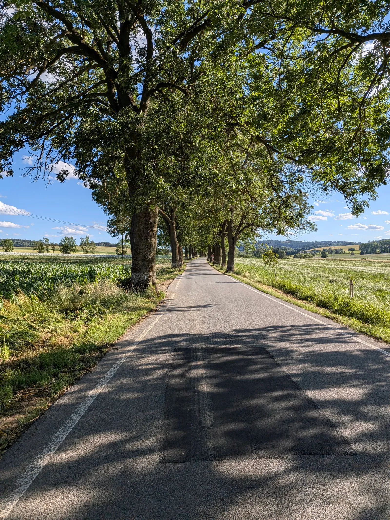
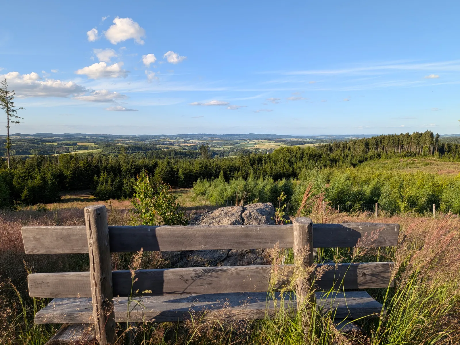
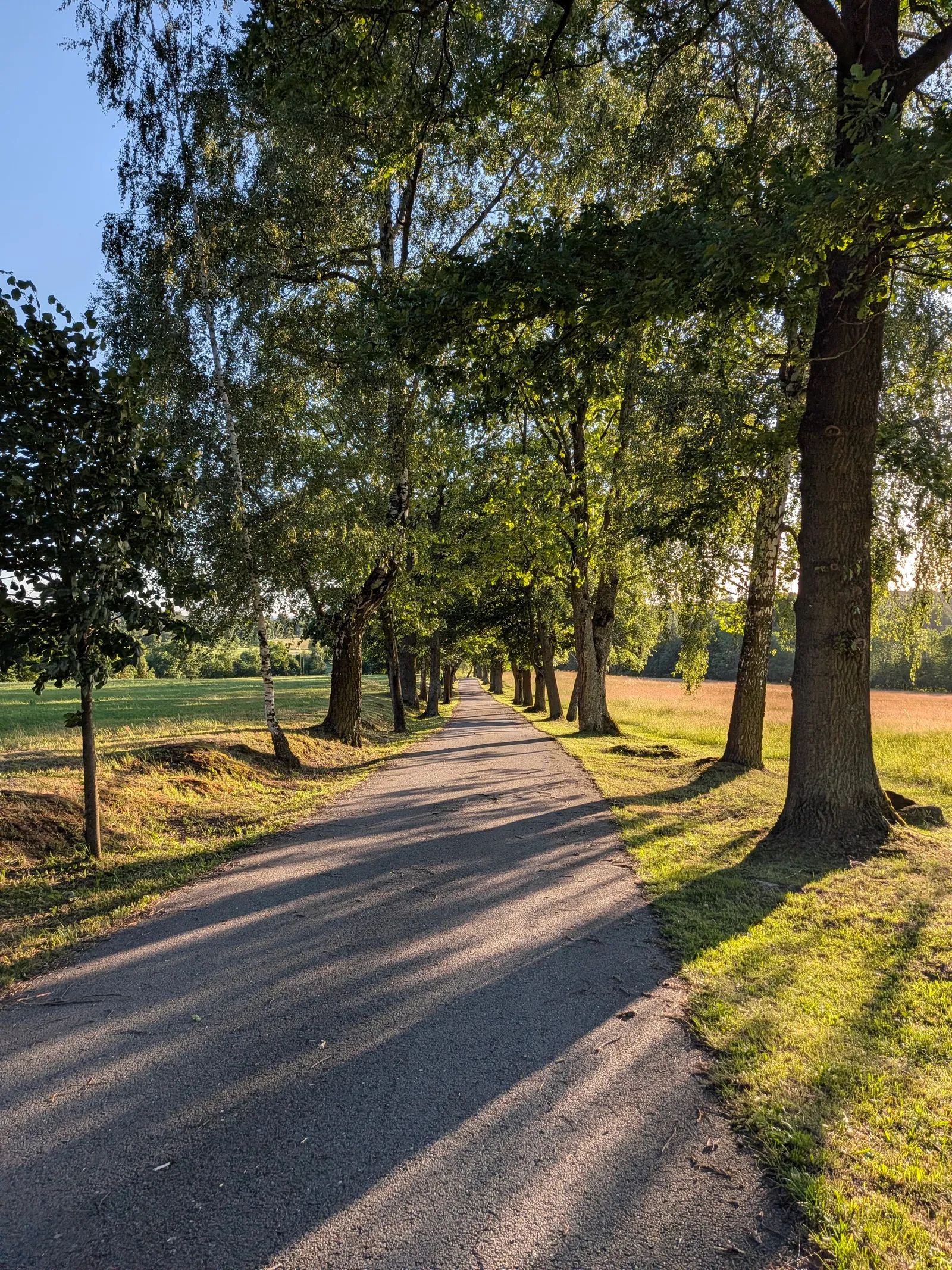
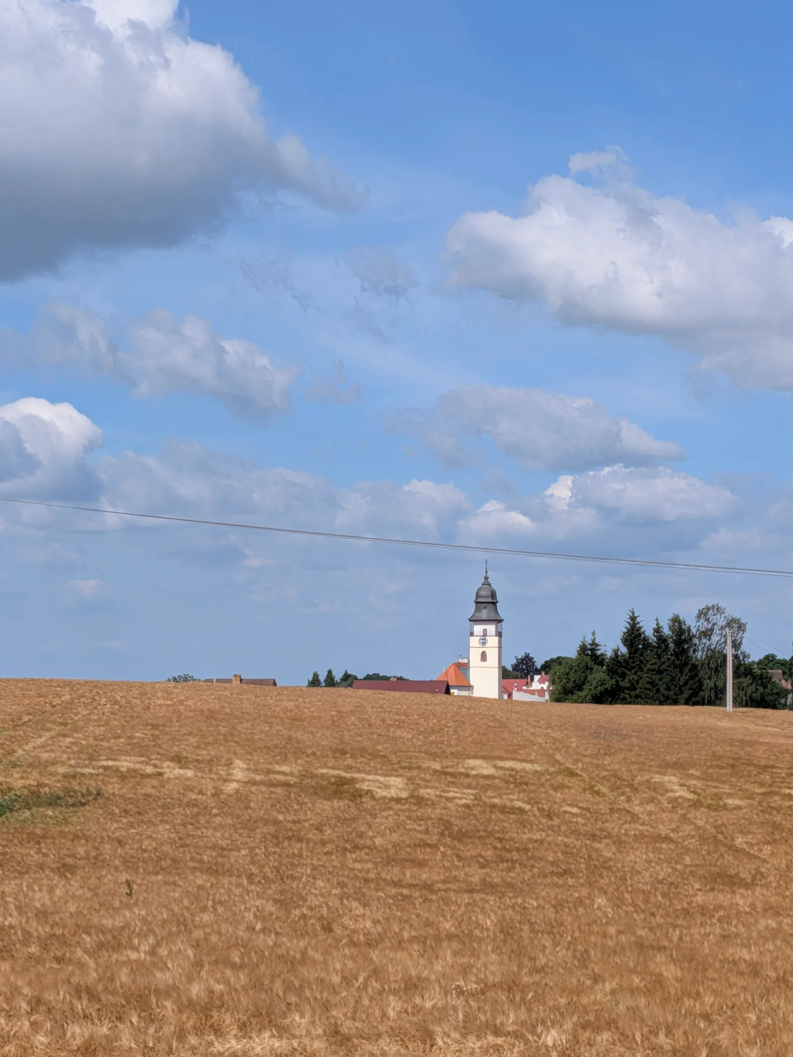
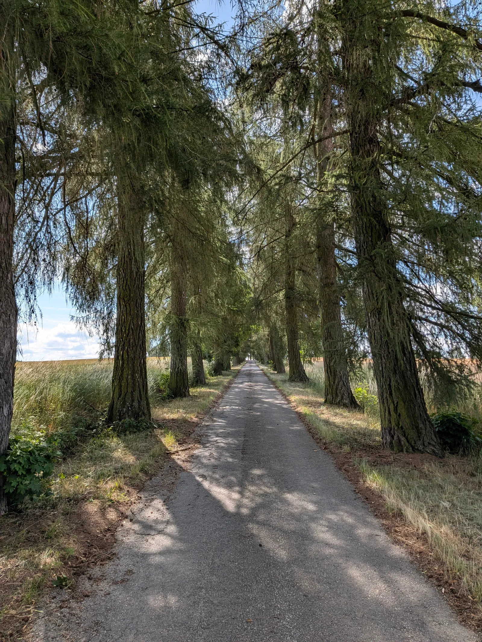
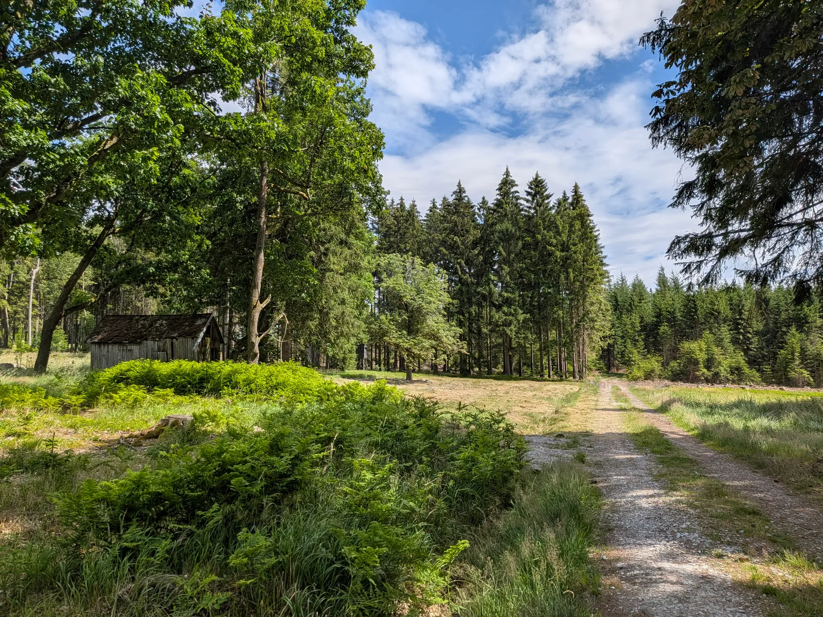
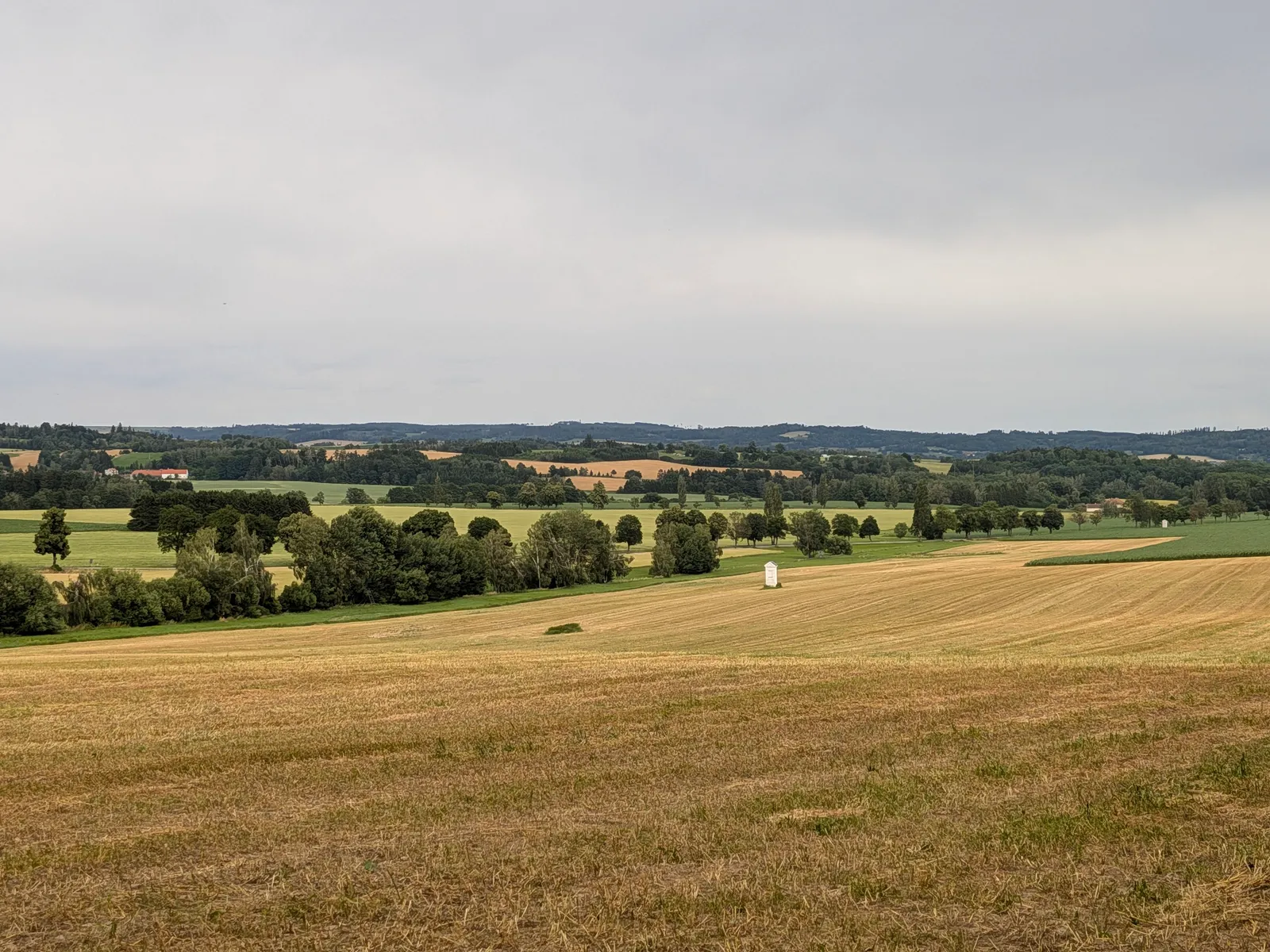
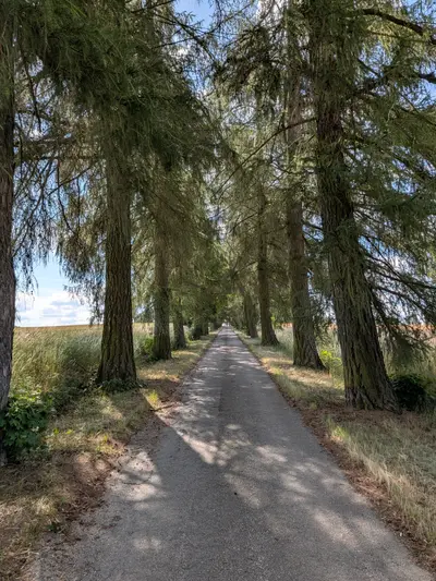
From Počátky the route climbs into the Javořice highlands. The Kališťská alej — a long avenue of old trees — leads out towards Horní Dubenky, where a French bistro makes an improbable and excellent lunch stop for a village this size. Past the glassmaking village of Janštejn the woods thicken and the granite starts showing through: the twin towers of Míchova skála are the viewpoint of the whole route (an easy scramble to the top), and a 1.7 km green link connects them with Javořice — at 837 m the highest point of the Bohemian-Moravian Highlands, wooded, mast-topped and viewless, ticked for its own sake. The descent runs through Řásná and Vanov, and the arrival is the best part: Telč appears across its ponds, and the walk ends on one of the most beautiful squares in the country, with the rail station a short walk beyond it.
Practical info
| Start | Horní Cerekev railway station — by train, bus |
|---|---|
| End | Telč railway station — by train, bus |
| Terrain | forest path |
| Food & water | U Karásků (Počátky) (pub , km 12 )
— solid town pub on the square French bistro (Horní Dubenky) (restaurant , km 20 )
— an unexpectedly good find in a highland village |
| Links | Open route on Mapy.com |
| GPX | Download track |
On the way
-
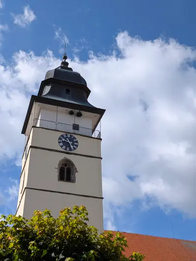
Počátky
A small town on the Bohemian-Moravian divide with a tidy square, the poet Otokar Březina's birthplace, and the little woodland spa of Svatá Kateřina nearby.
-
Míchova skála
Two granite towers up to 13 m high in the woods northeast of Javořice — a nature monument and, since a 1980s forest fire opened the horizon, one of the highlands' few real viewpoints.
-
Javořice
The highest point of the Bohemian-Moravian Highlands at 837 m — a forested summit with a TV mast and no view; the panorama waits at Míchova skála nearby.
-
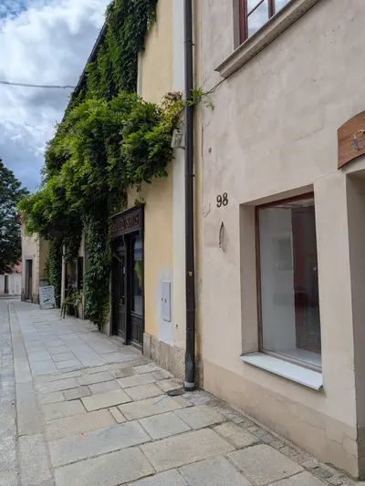
Telč
A UNESCO-listed Renaissance town between fishponds — one long square of arcades and painted gables, with the chateau closing its northern end.
Photos
-
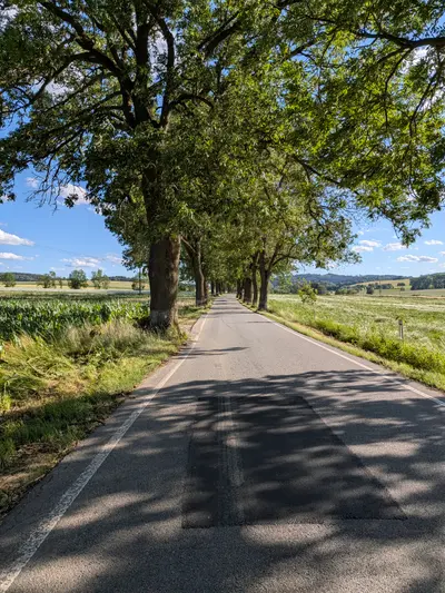
km 0.88 -
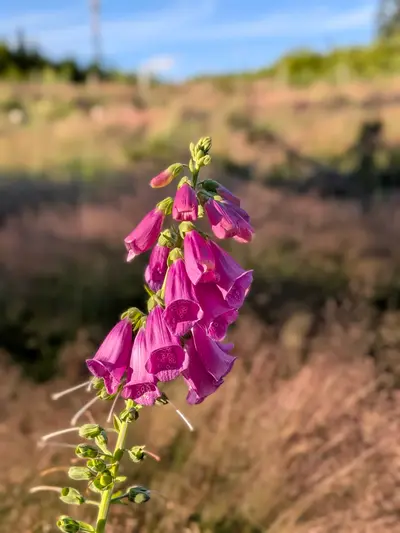
km 6.72 -
km 7.19 -
km 8.13 -
km 8.44 -
km 9.07 -
km 9.26 -
km 10.1 -
km 11.48 -
km 11.48 -
km 12.49 -
km 12.62 -
km 19.29 -
km 20.45 -
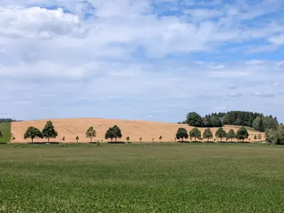
km 21.12 -
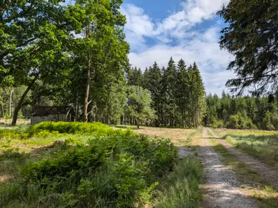
km 24.01 -
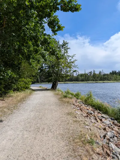
km 28.57 -
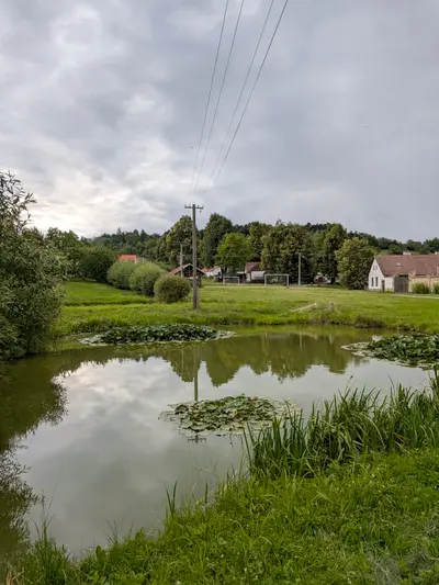
km 33.86 -
km 34.38 -
km 35.54