Javořice Country to Telč
Vysočina , Point to point , hiked 3 July 2026
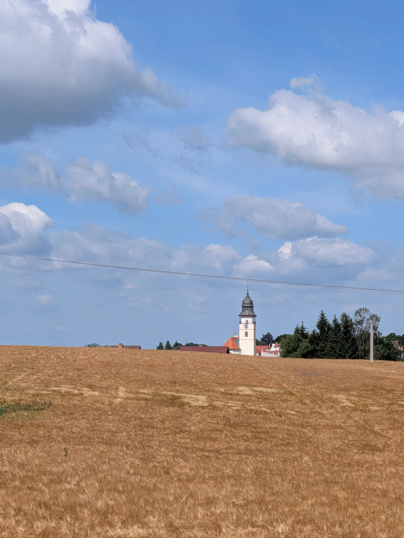
A 39.1 km walk across the Javořice highlands from Horní Cerekev to UNESCO-listed Telč, with a night in Počátky on the way.
The walk starts at the Horní Cerekev railway station. From Prague that means a change in Veselí nad Lužnicí.
To Počátky
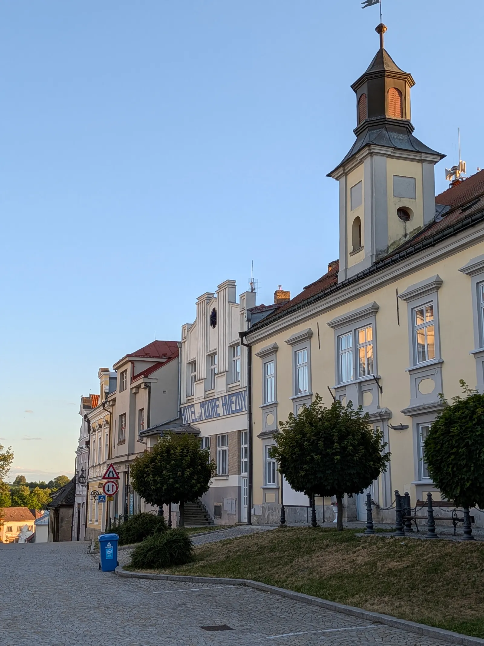
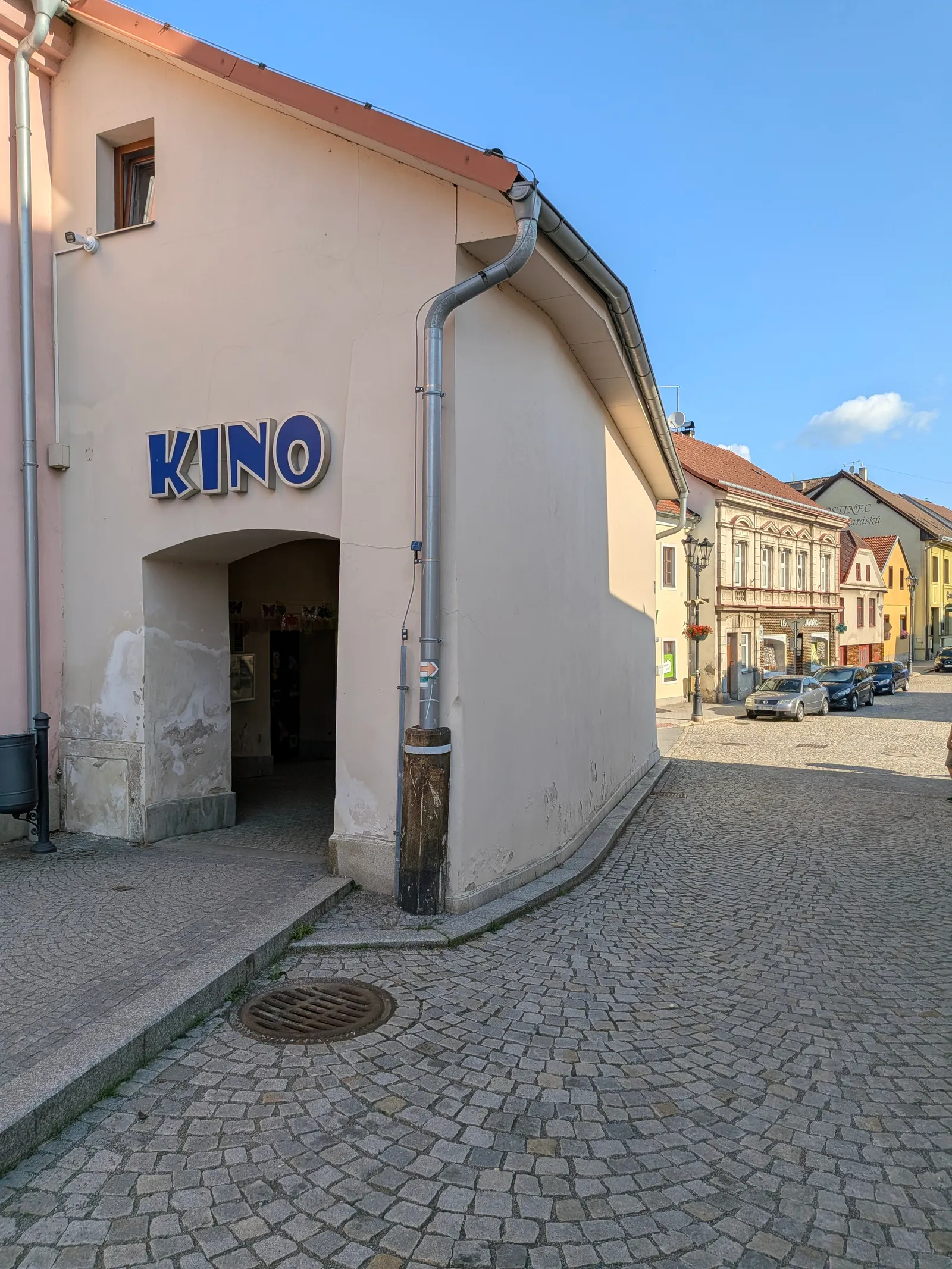
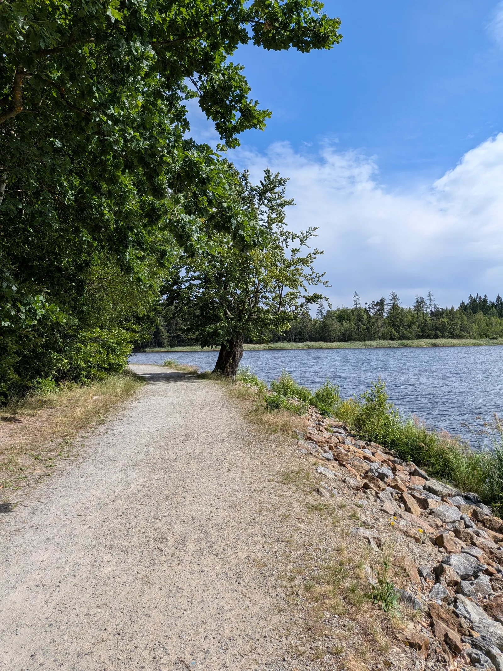
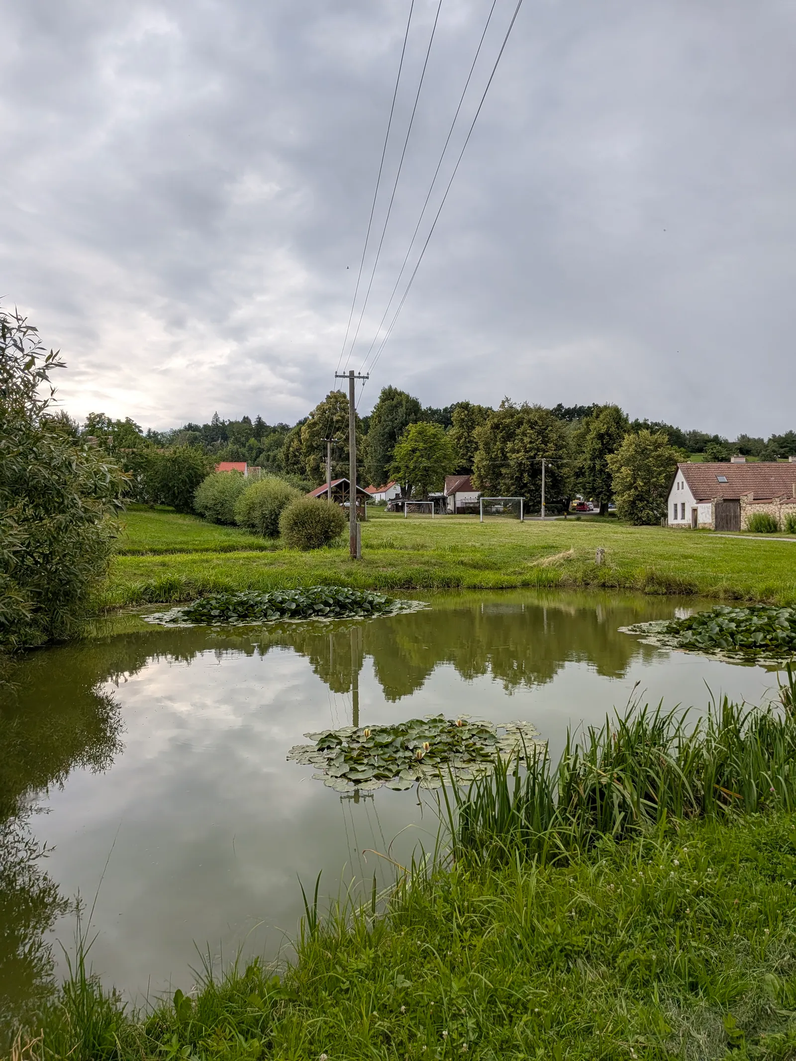
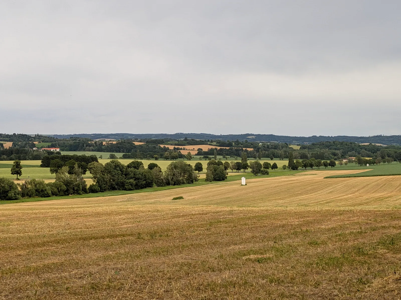
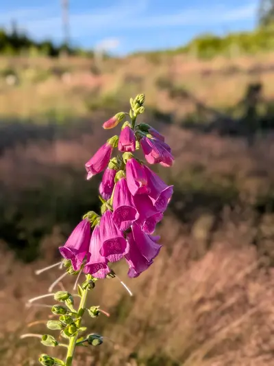
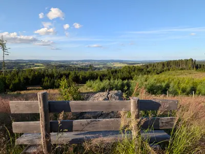
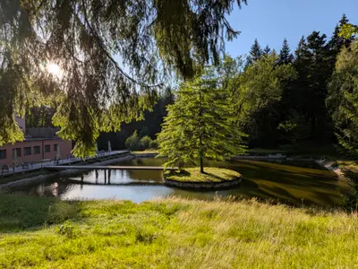
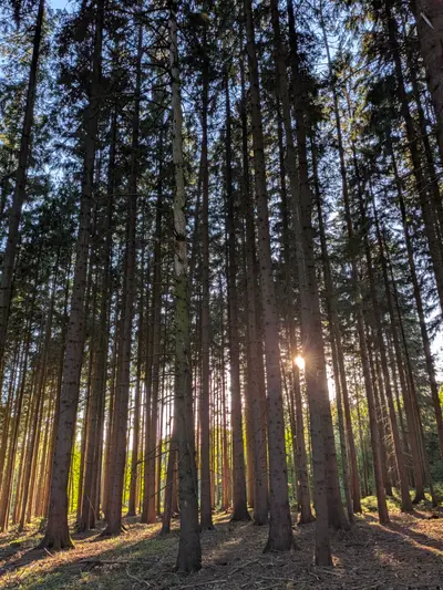
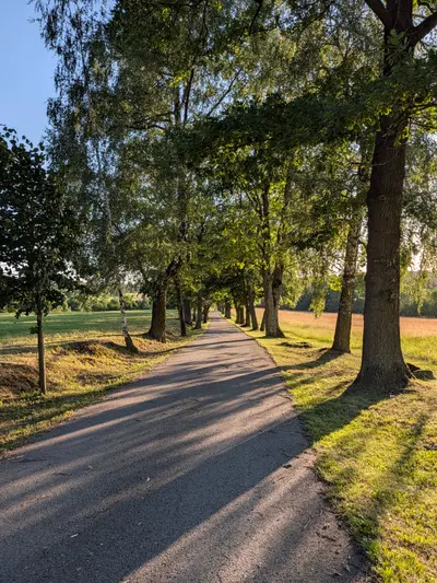
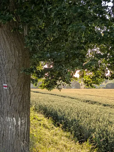
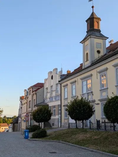
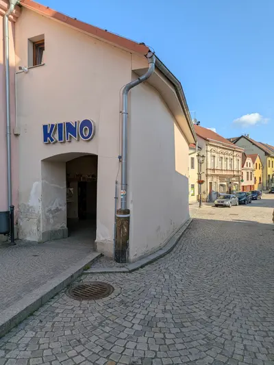
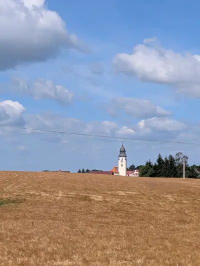
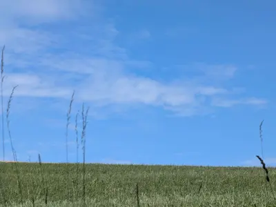
The route eases in gently. It crosses rolling highland fields and woods through Horní Ves and Lísek, then the forest around Svatá Kateřina, a small woodland spa by a chapel spring. At about km 12 the route drops into Počátky. Stop there for a while. The square is small and tidy and there is not much to do, and it does not need more. U Karásků on the square is a good pub, and there is B&B accommodation for the night. I stayed there and it did the job.
Over the hills to Telč
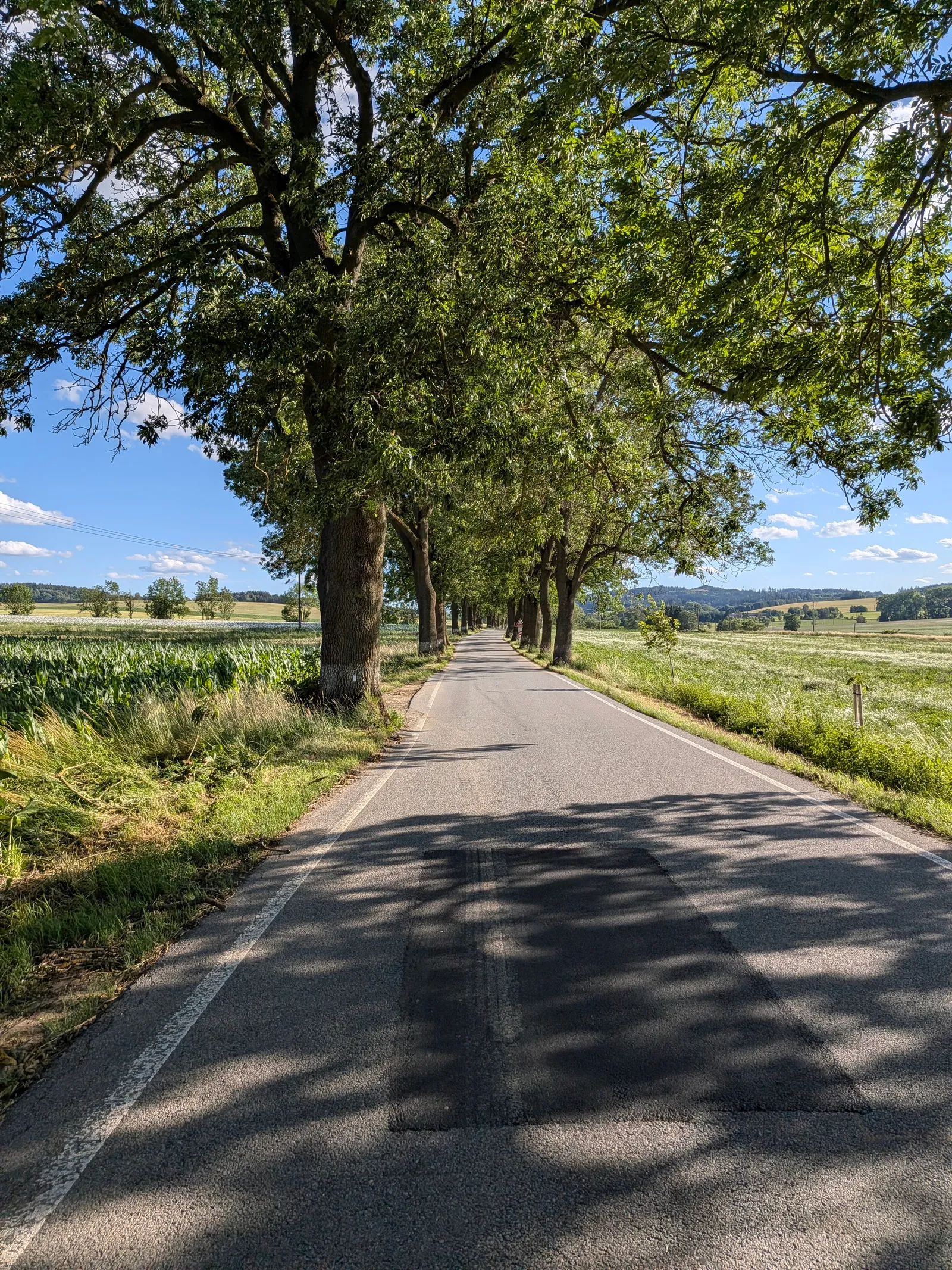
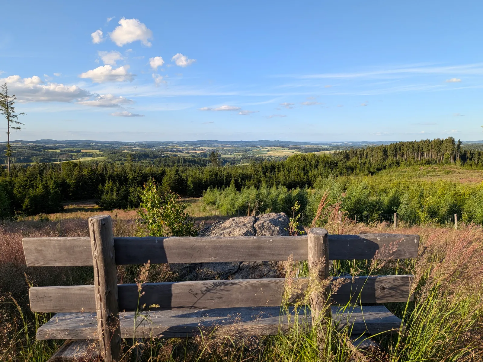
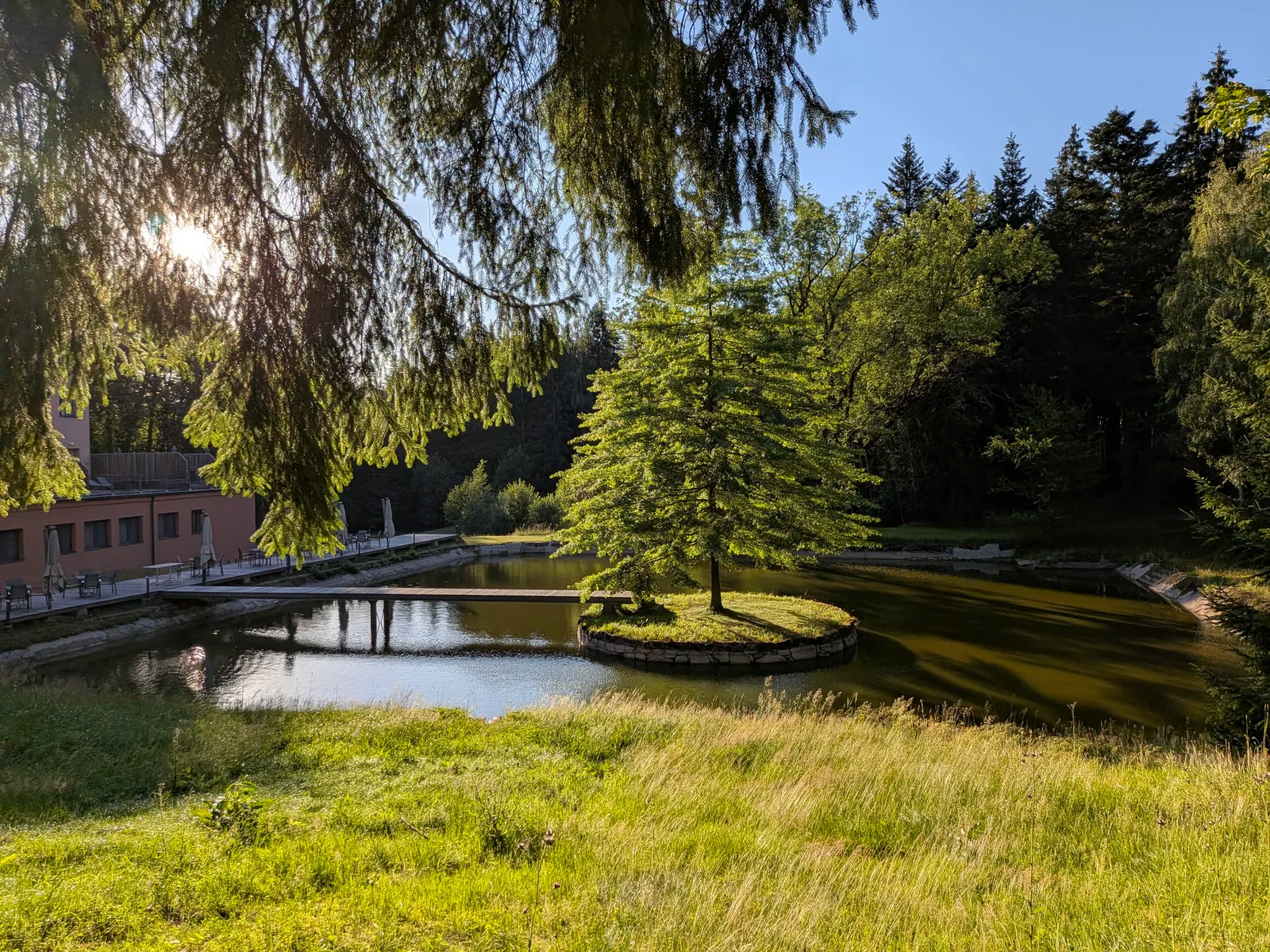
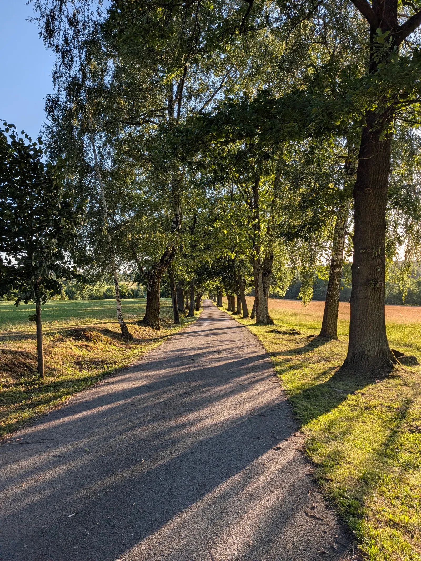
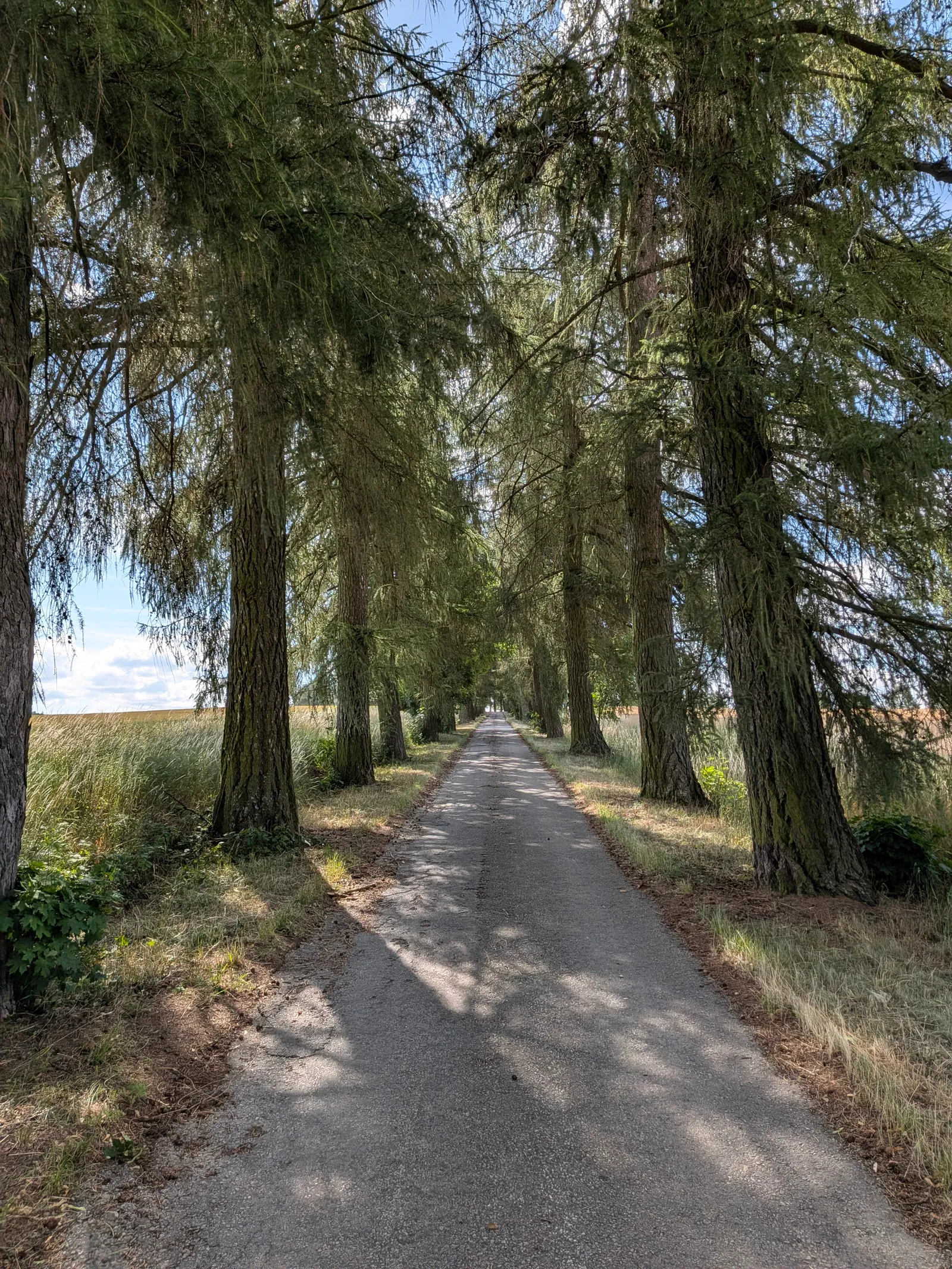
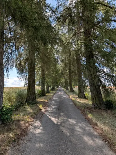
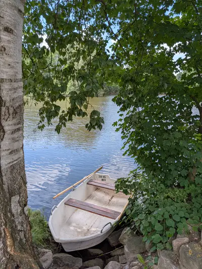
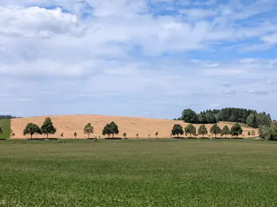
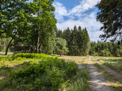
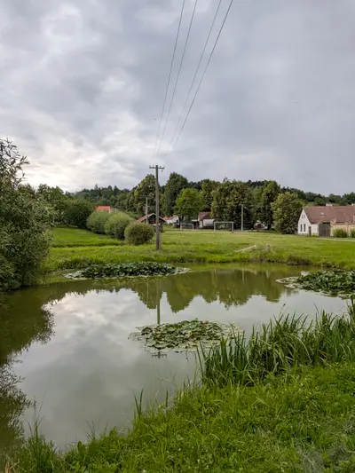
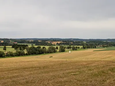
From Počátky the route climbs into the Javořice highlands. The Kališťská alej, a long avenue of old trees, leads out towards Horní Dubenky. The French bistro there is a good lunch stop, rare for a village this size. Past the glassmaking village of Janštejn the woods thicken and the granite starts showing through. The twin towers of Míchova skála are the viewpoint of the whole route, and the scramble to the top is easy. A 1.7 km green link connects them with Javořice. The summit is wooded, with a mast on top and no view, so you climb it just to say you did. The descent runs through Řásná and Vanov. Then Telč appears across its ponds, and the walk ends on its square. The rail station is a short walk beyond it.
Practical info
| Start | Horní Cerekev railway station, by train, bus |
|---|---|
| End | Telč railway station, by train, bus |
| Terrain | forest path |
| Food & water | U Karásků (Počátky) (pub, km 12). solid town pub on the square French bistro (Horní Dubenky) (restaurant, km 20). a good lunch stop, rare for a village this size |
| Links | Open route on Mapy.com |
| GPX | Download track |
On the way
-
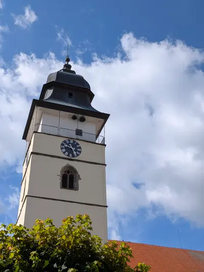
Počátky
A small town on the Bohemian-Moravian divide with a tidy square, the poet Otokar Březina's birthplace, and the little woodland spa of Svatá Kateřina nearby.
-
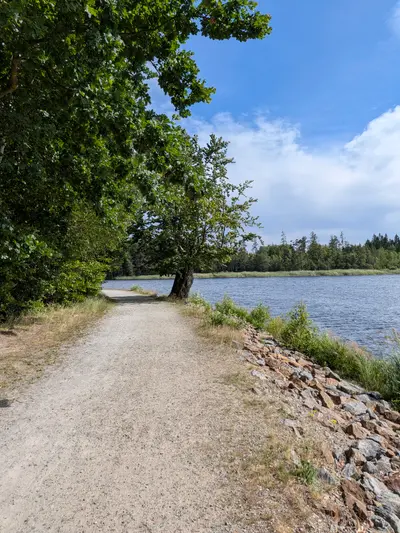
Míchova skála
Two granite towers up to 13 m high in the woods northeast of Javořice. Since a 1980s forest fire opened the horizon, it is one of the few viewpoints of the highlands.
-
Javořice
The highest point of the Bohemian-Moravian Highlands at 837 m, a forested summit with a TV mast and no view. The panorama waits at Míchova skála nearby.
-
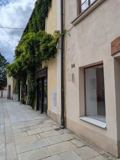
Telč
A UNESCO-listed Renaissance town between fishponds. One long square of arcades and painted gables, with the chateau closing its northern end.
Photos
-
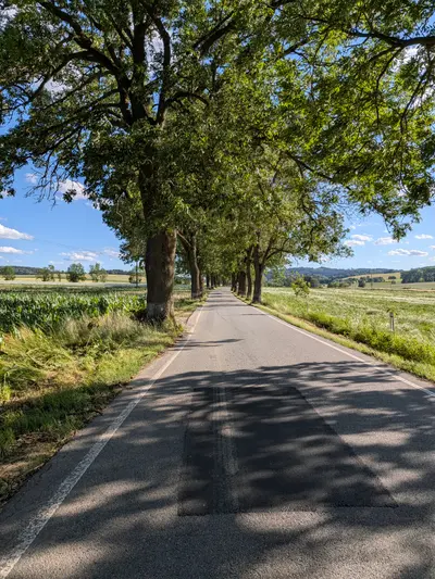
km 0.88 -
km 6.72 -
km 7.19 -
km 8.13 -
km 8.44 -
km 9.07 -
km 9.26 -
km 10.1 -
km 11.48 -
km 11.48 -
km 12.49 -
km 12.62 -
km 19.29 -
km 20.45 -
km 21.12 -
km 24.01 -
km 28.57 -
km 33.86 -
km 34.38 -
km 35.54