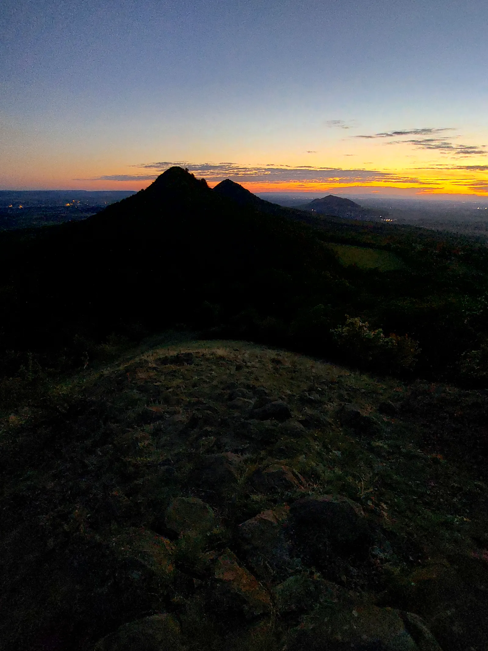
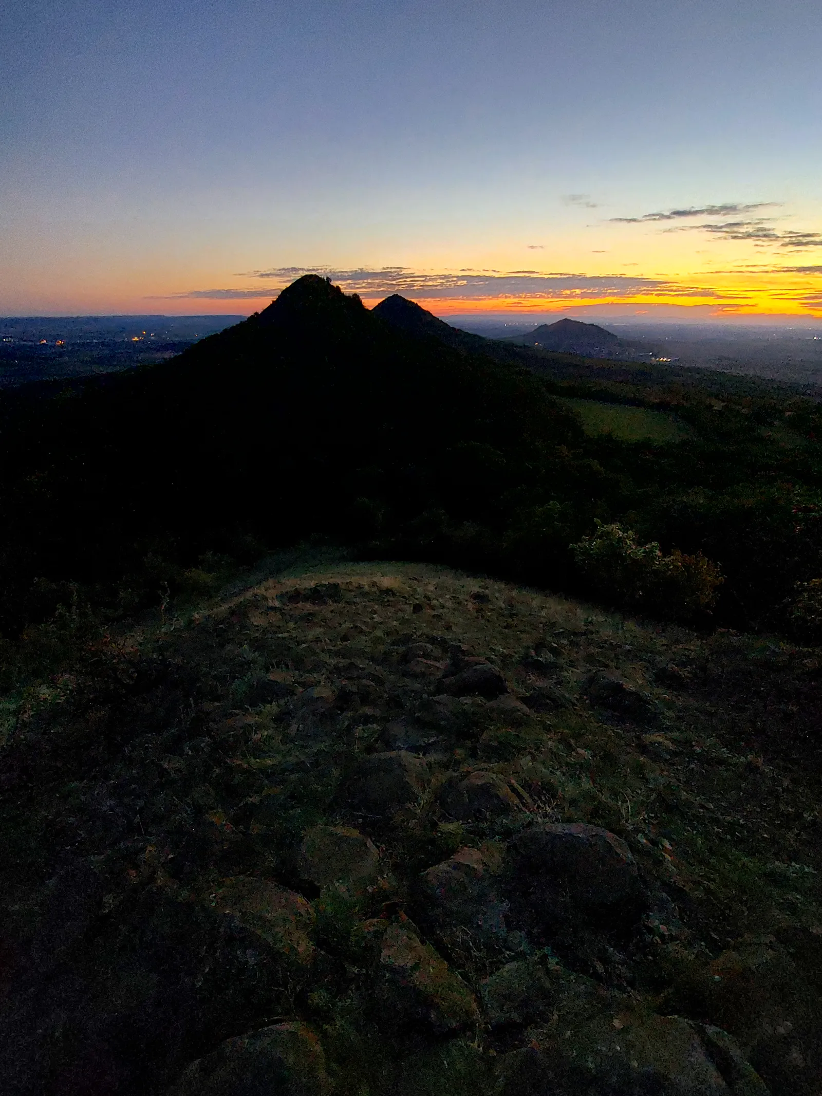
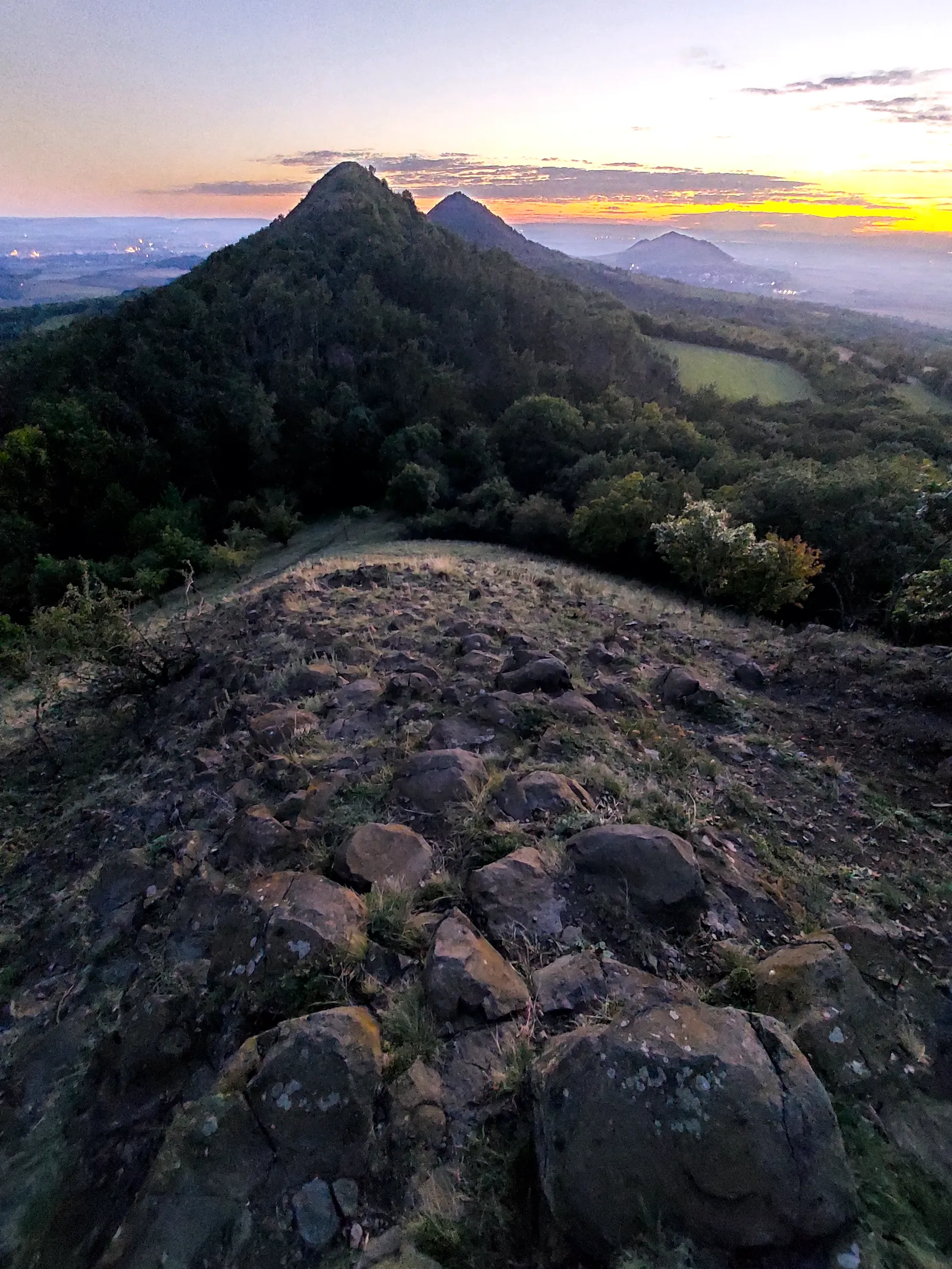
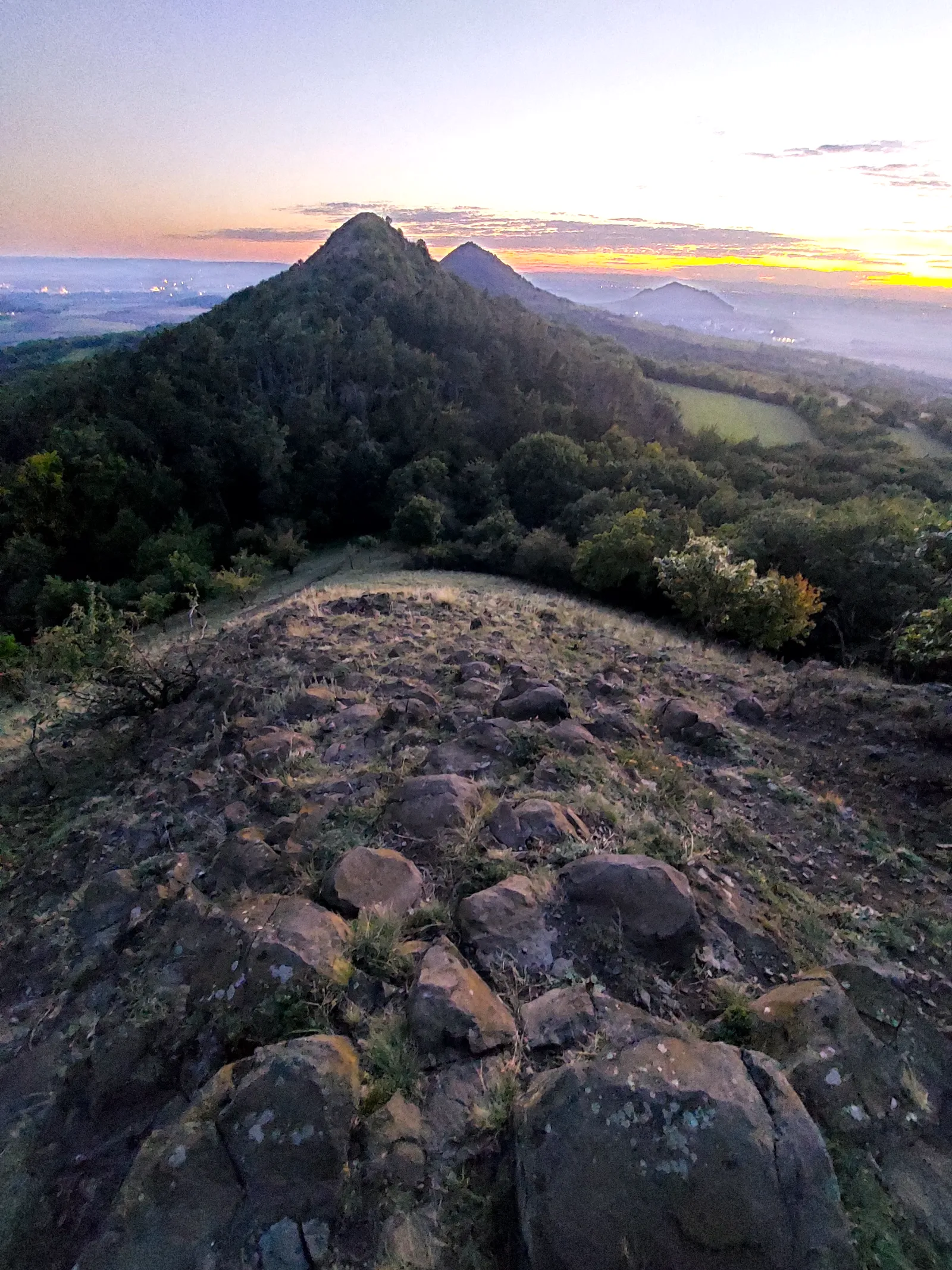
Raná and the Steppe Cones
České středohoří , Point to point , hiked September 2025
A 25.9 km steppe-hills traverse over Europe's oldest quarry on Písečný vrch, past the paragliders on Raná, and along the Oblík–Srdov–Brník cone line to Libčeves.
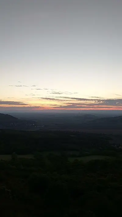
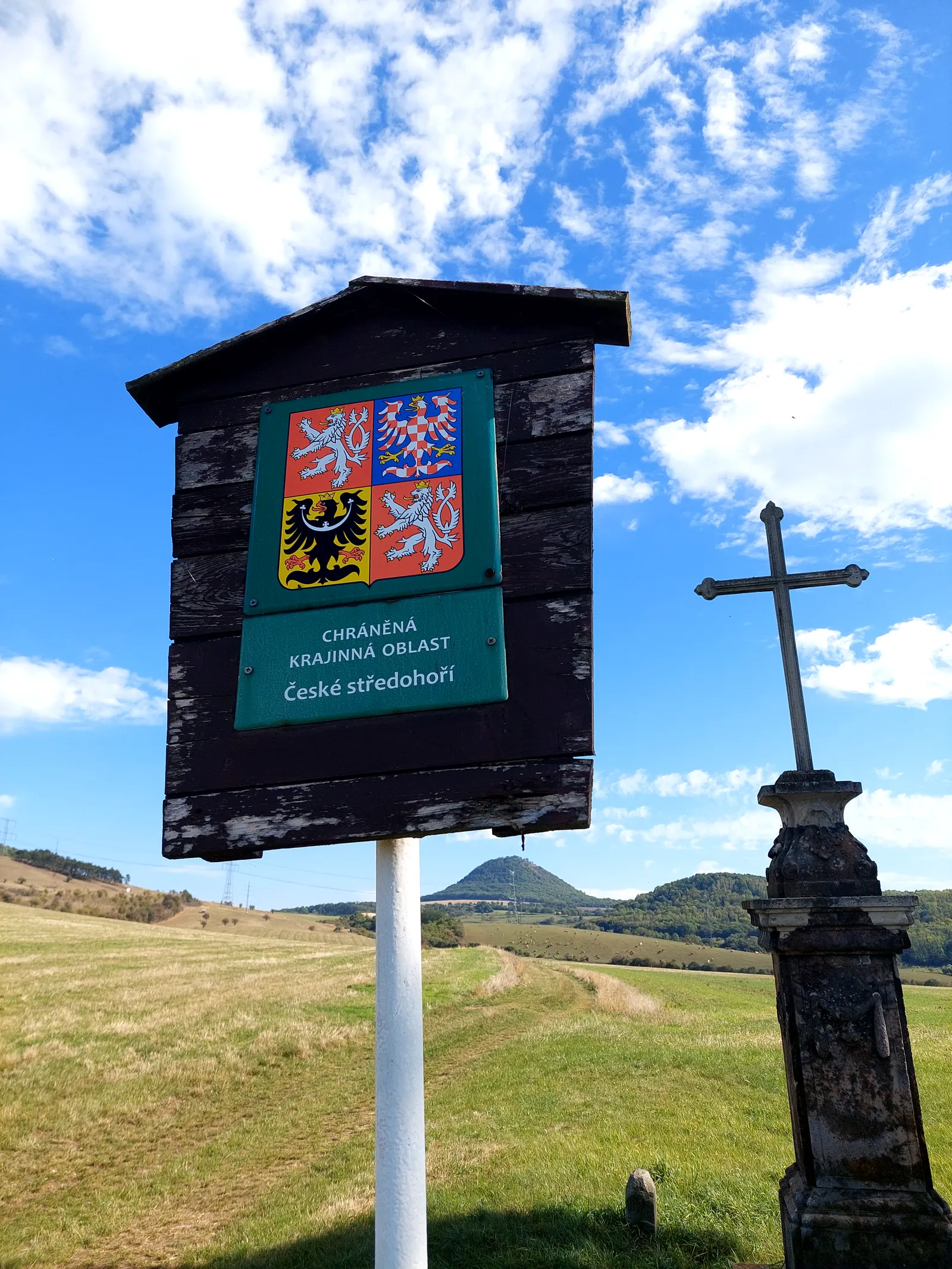
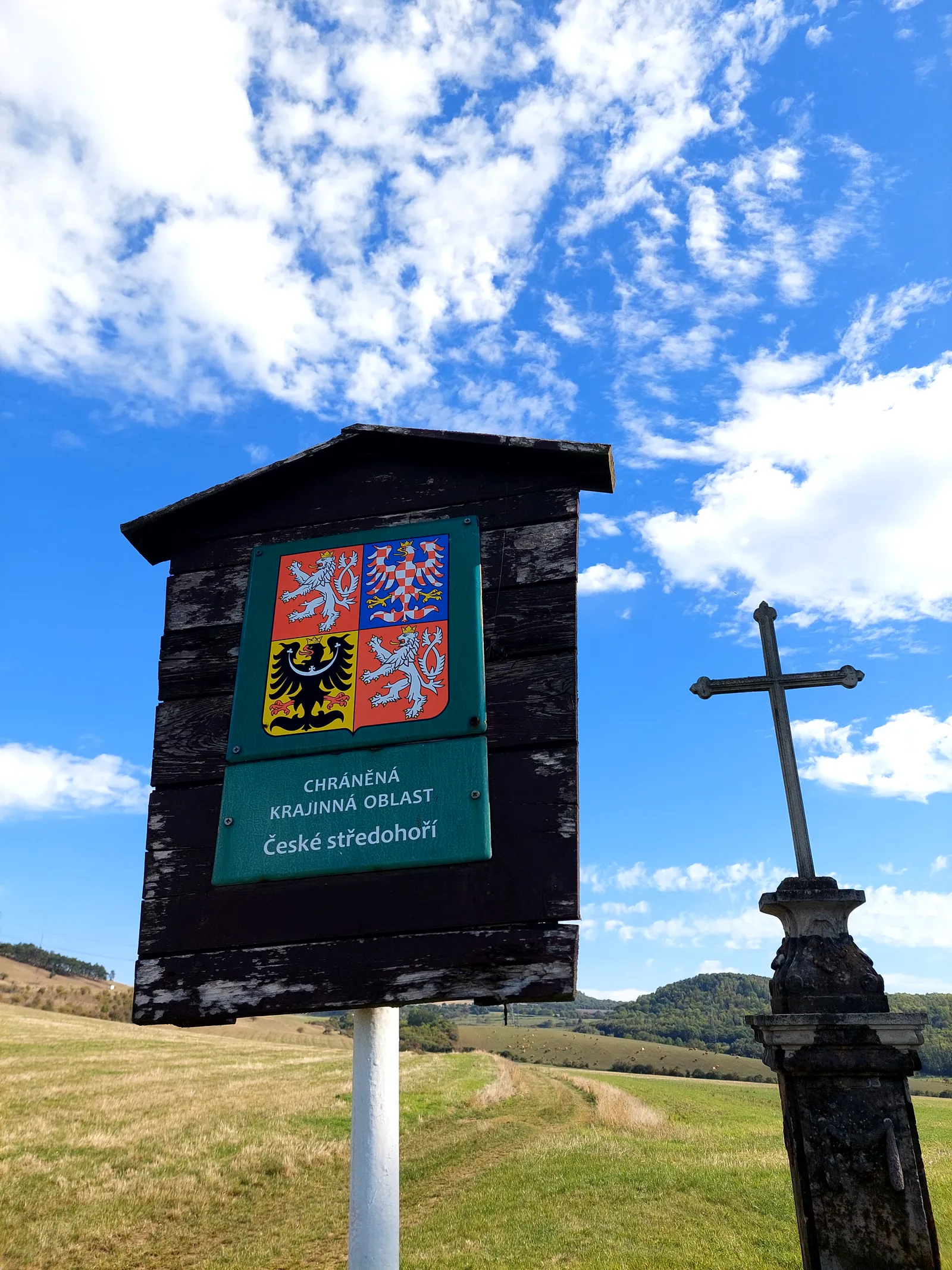
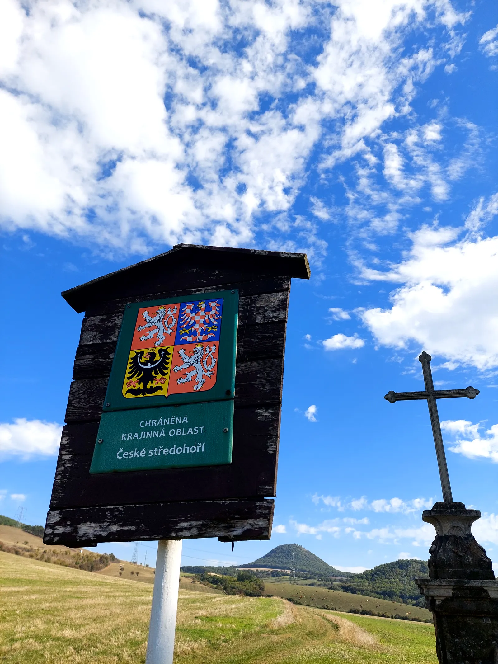
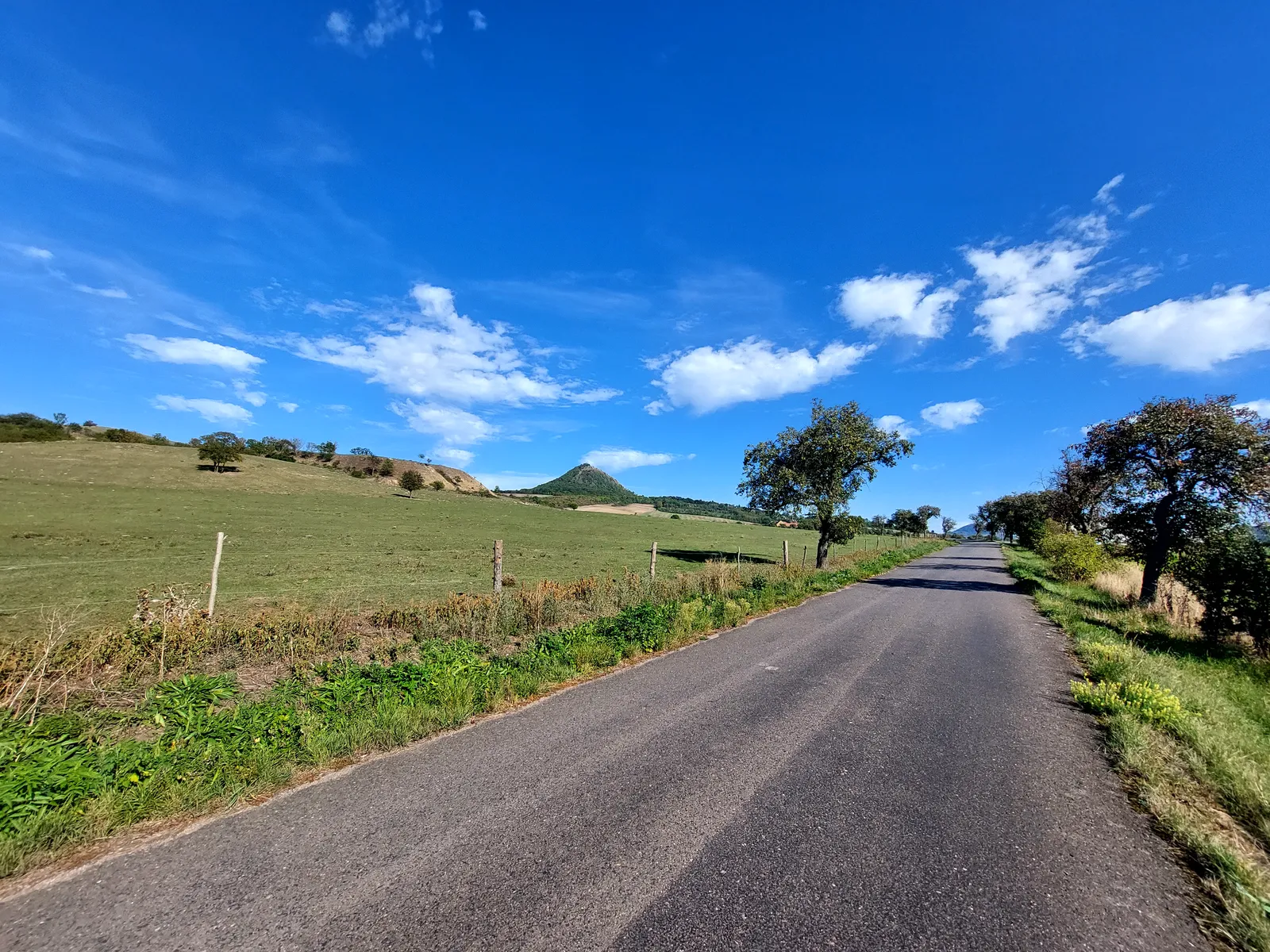
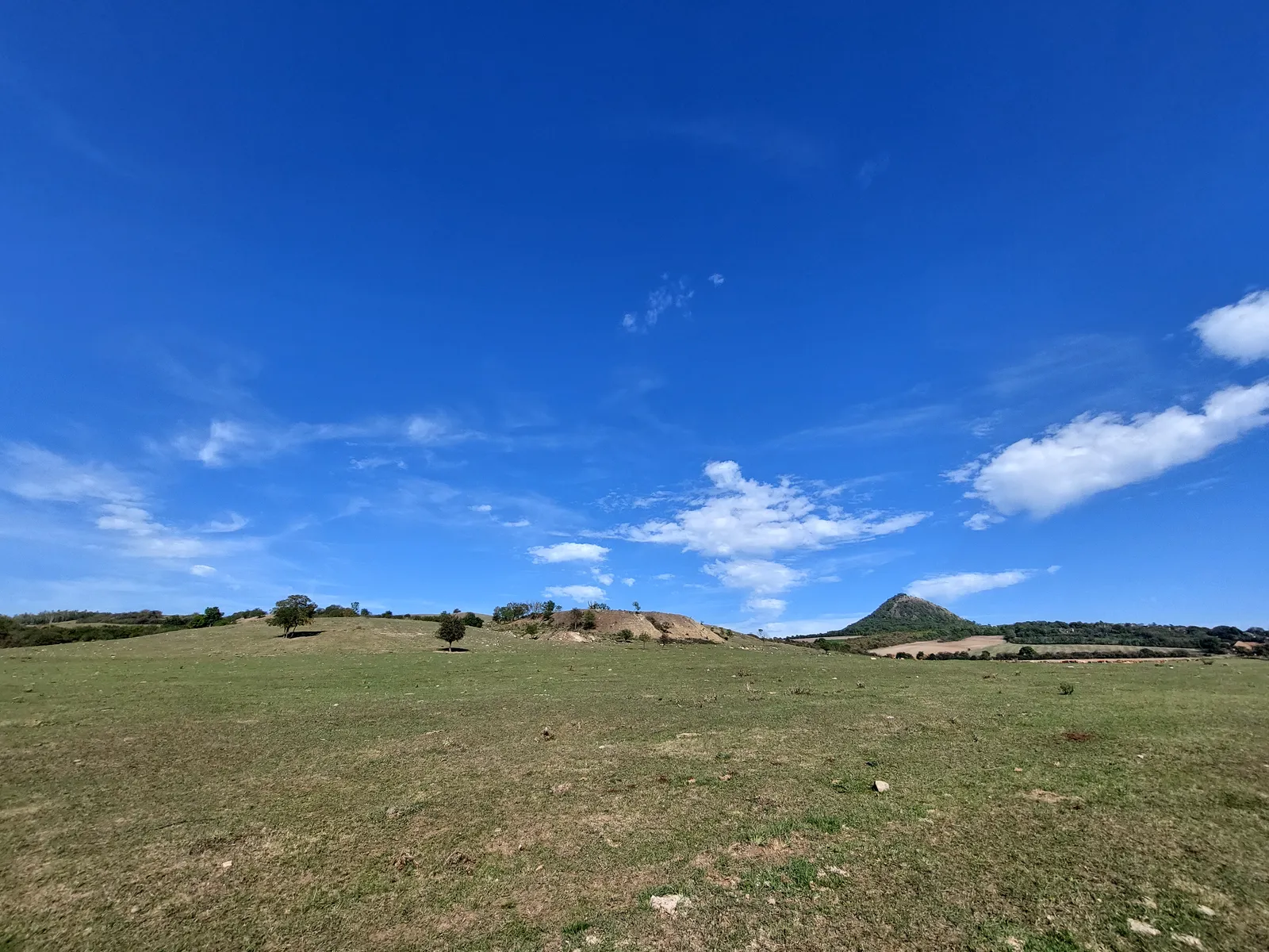
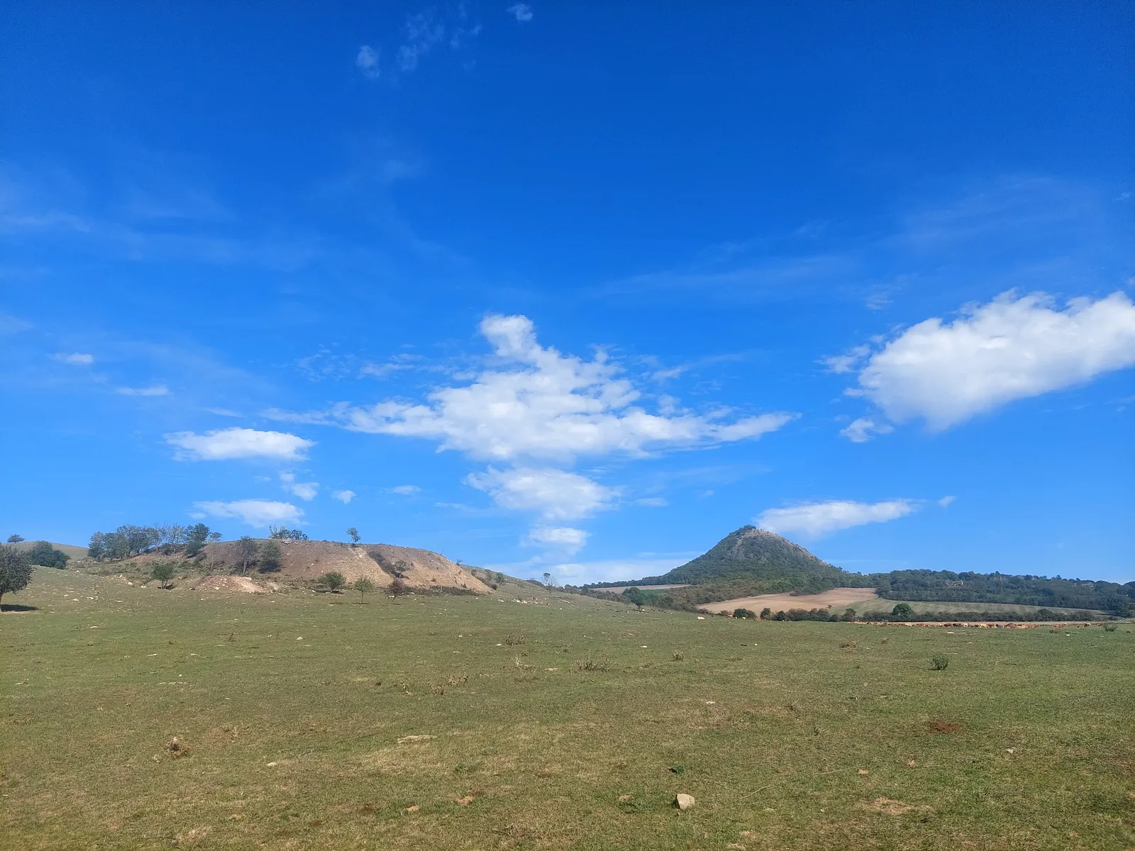
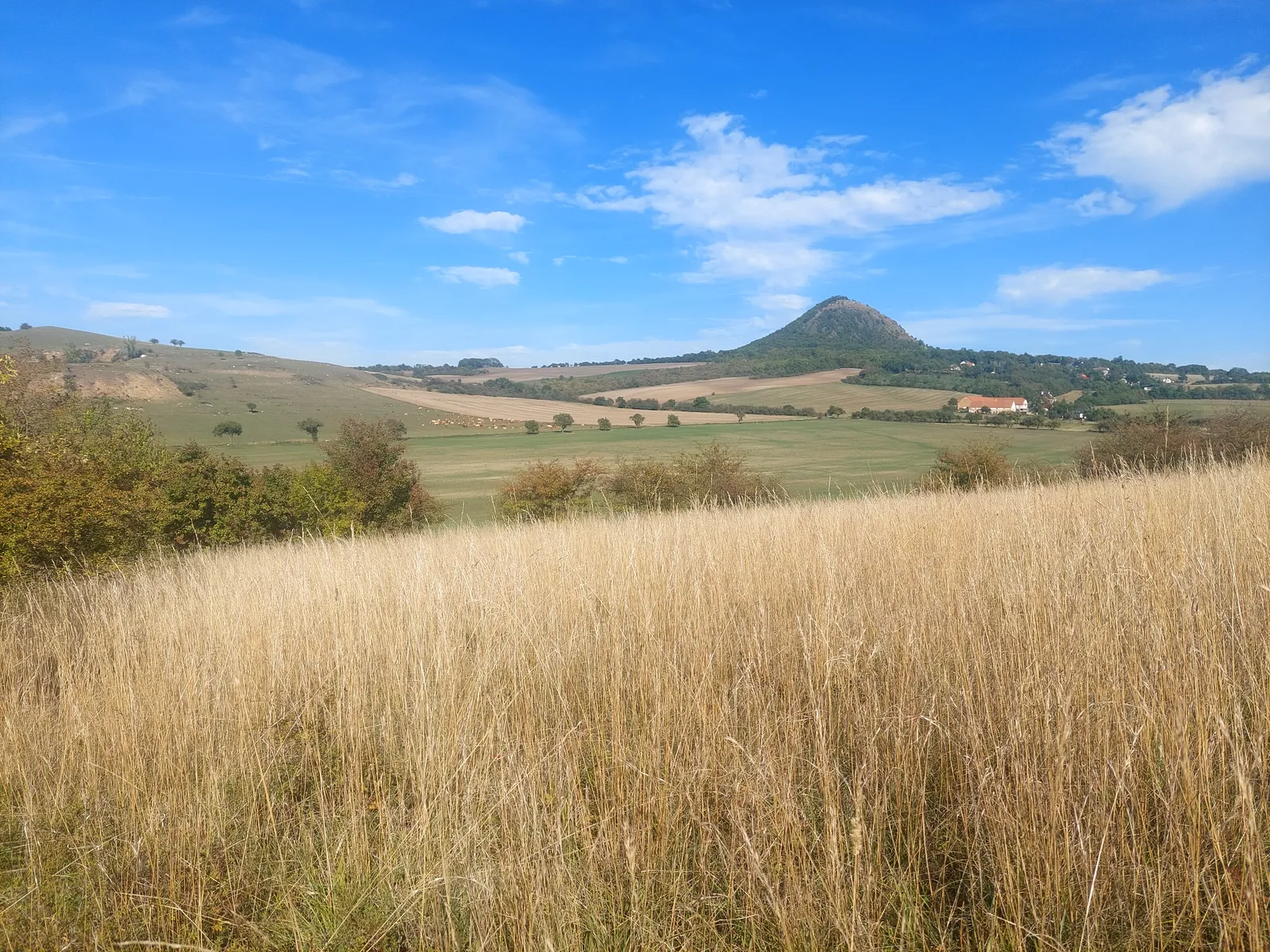
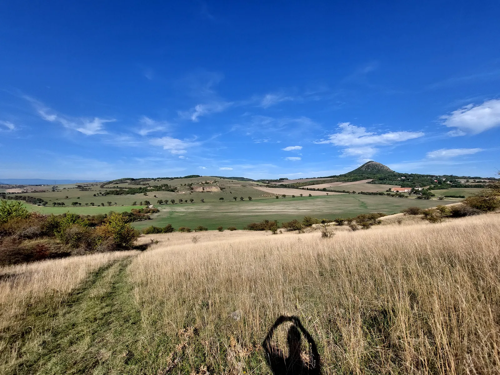
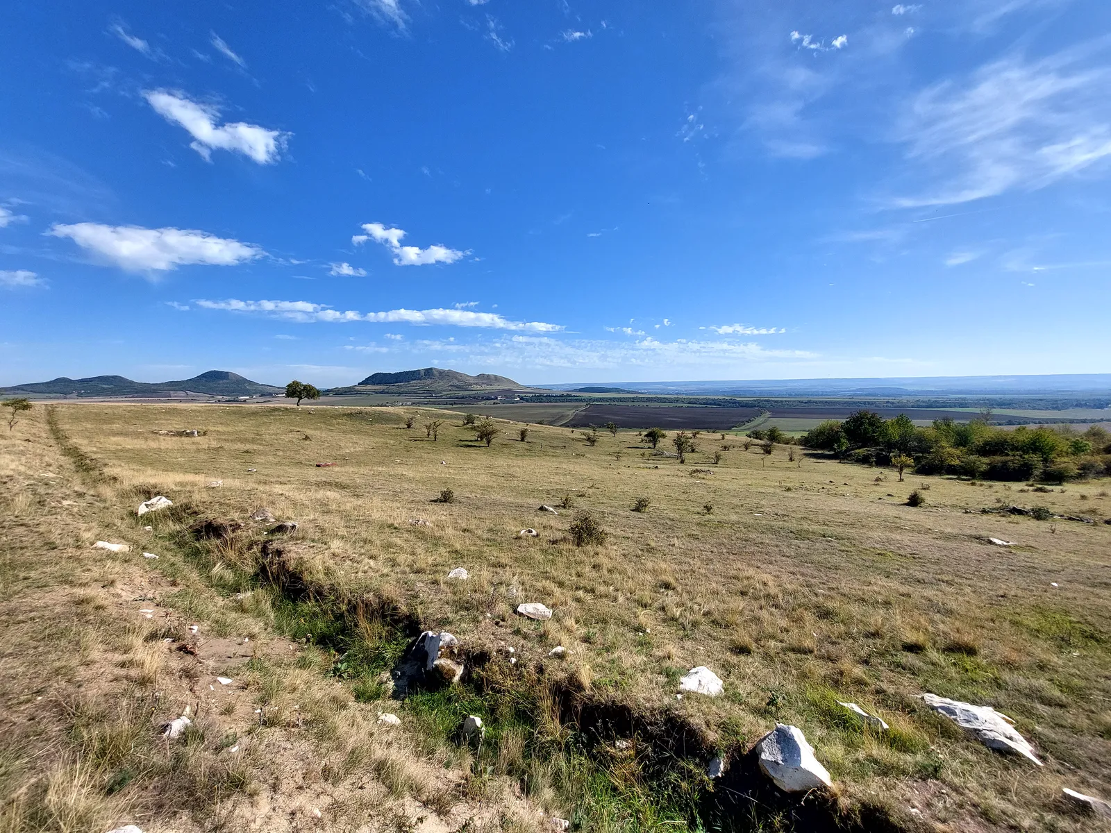
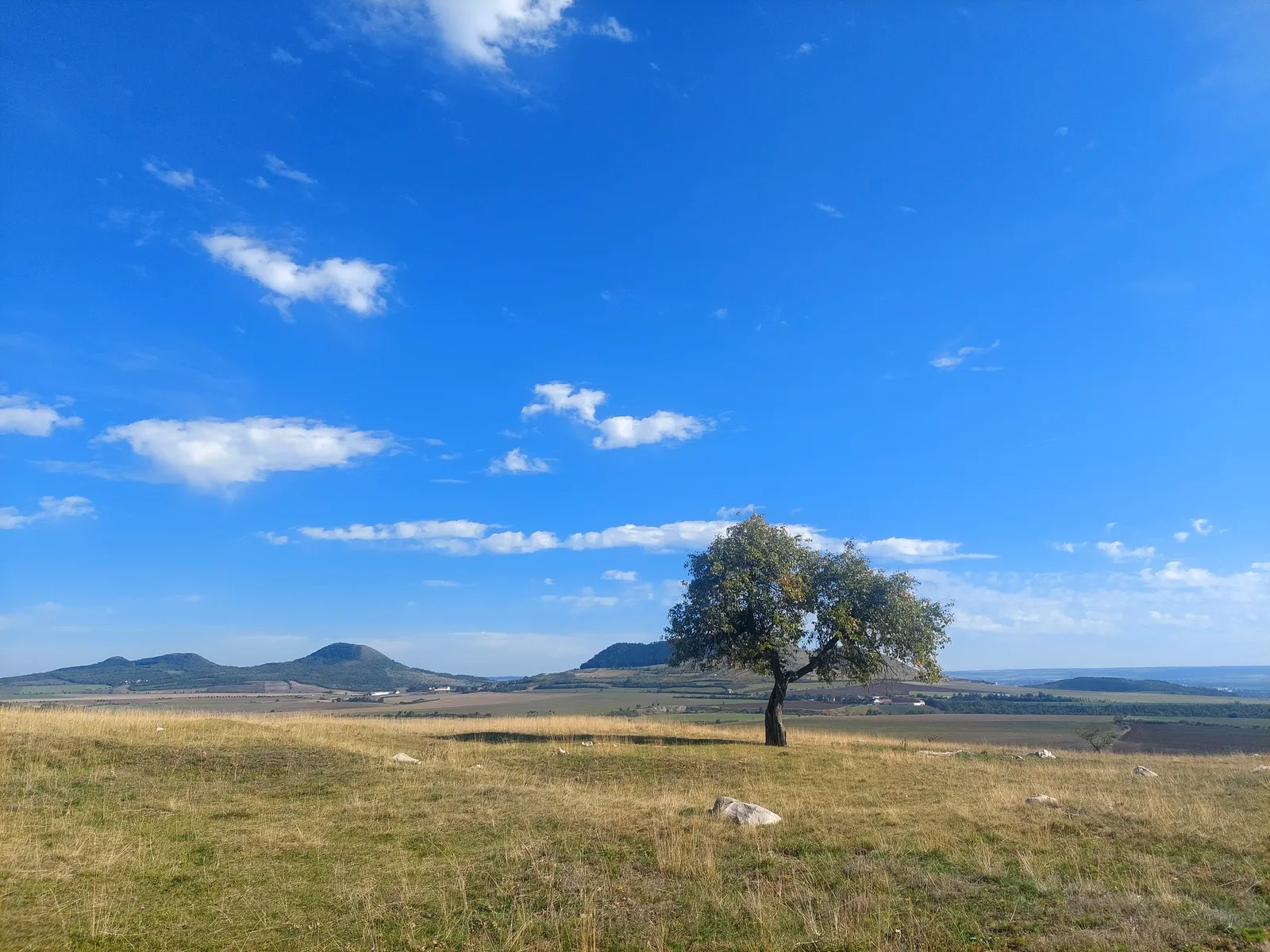
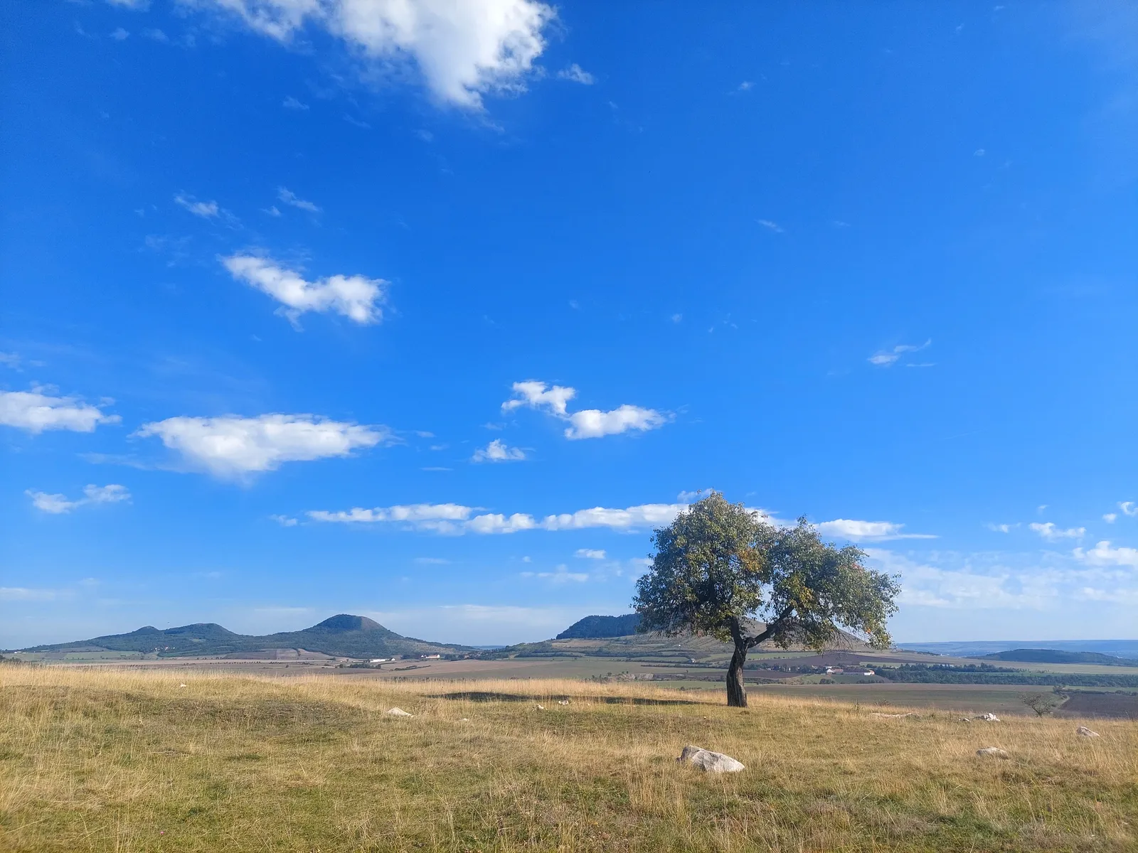
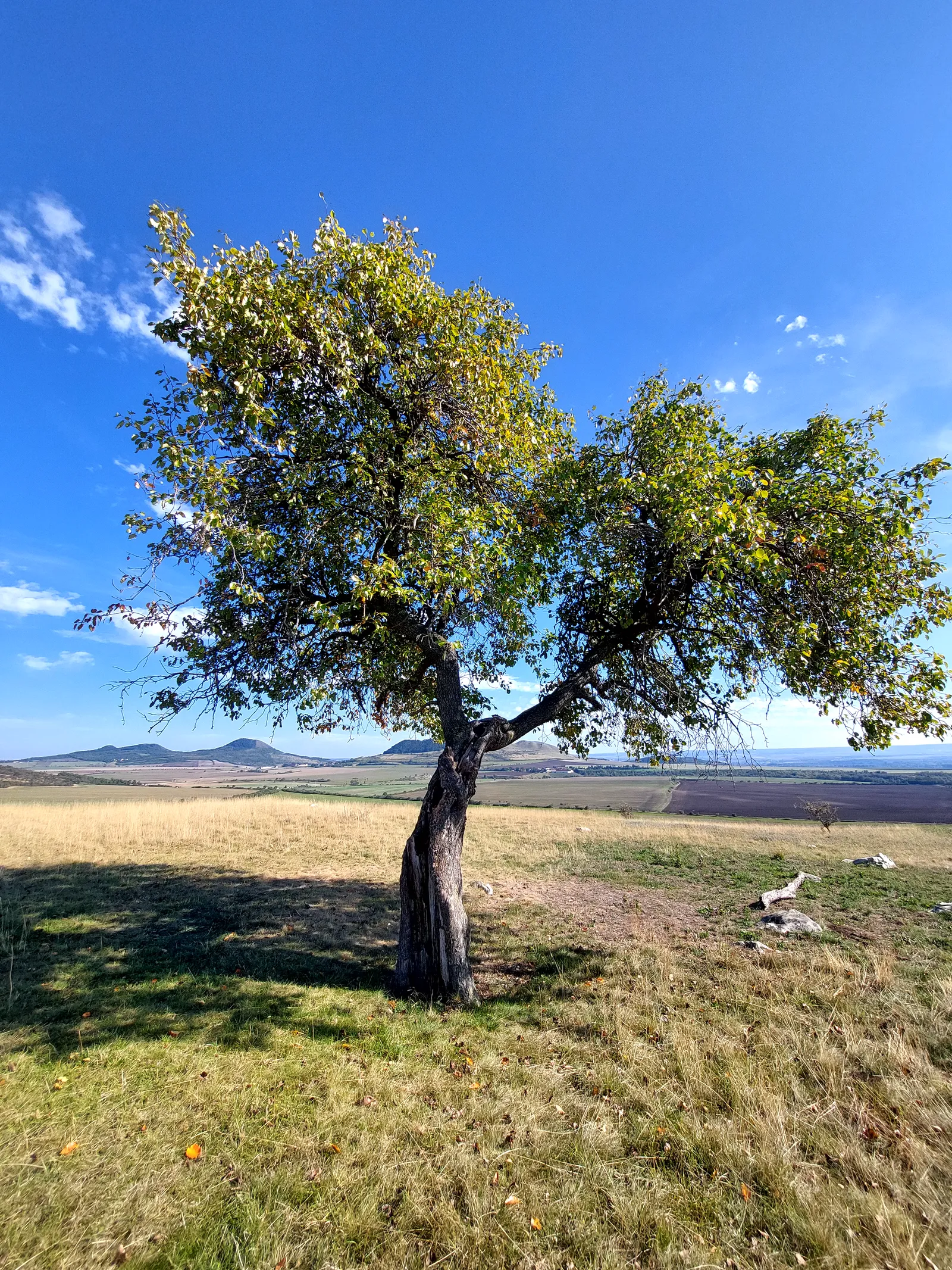
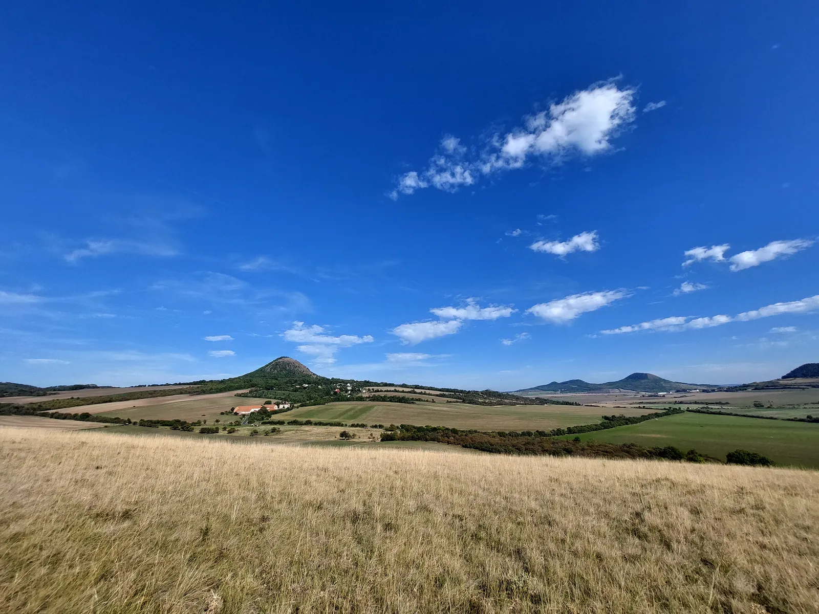
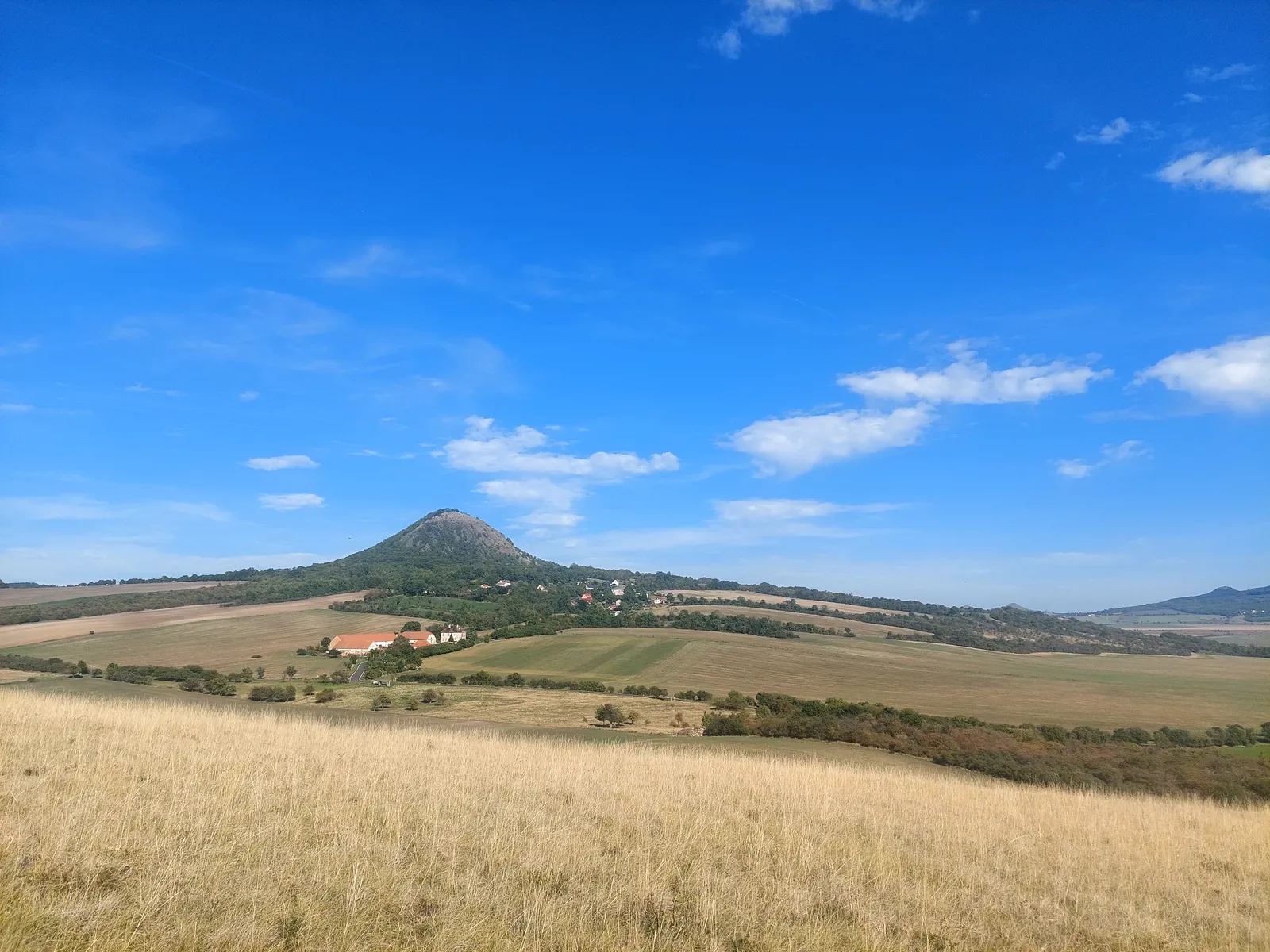
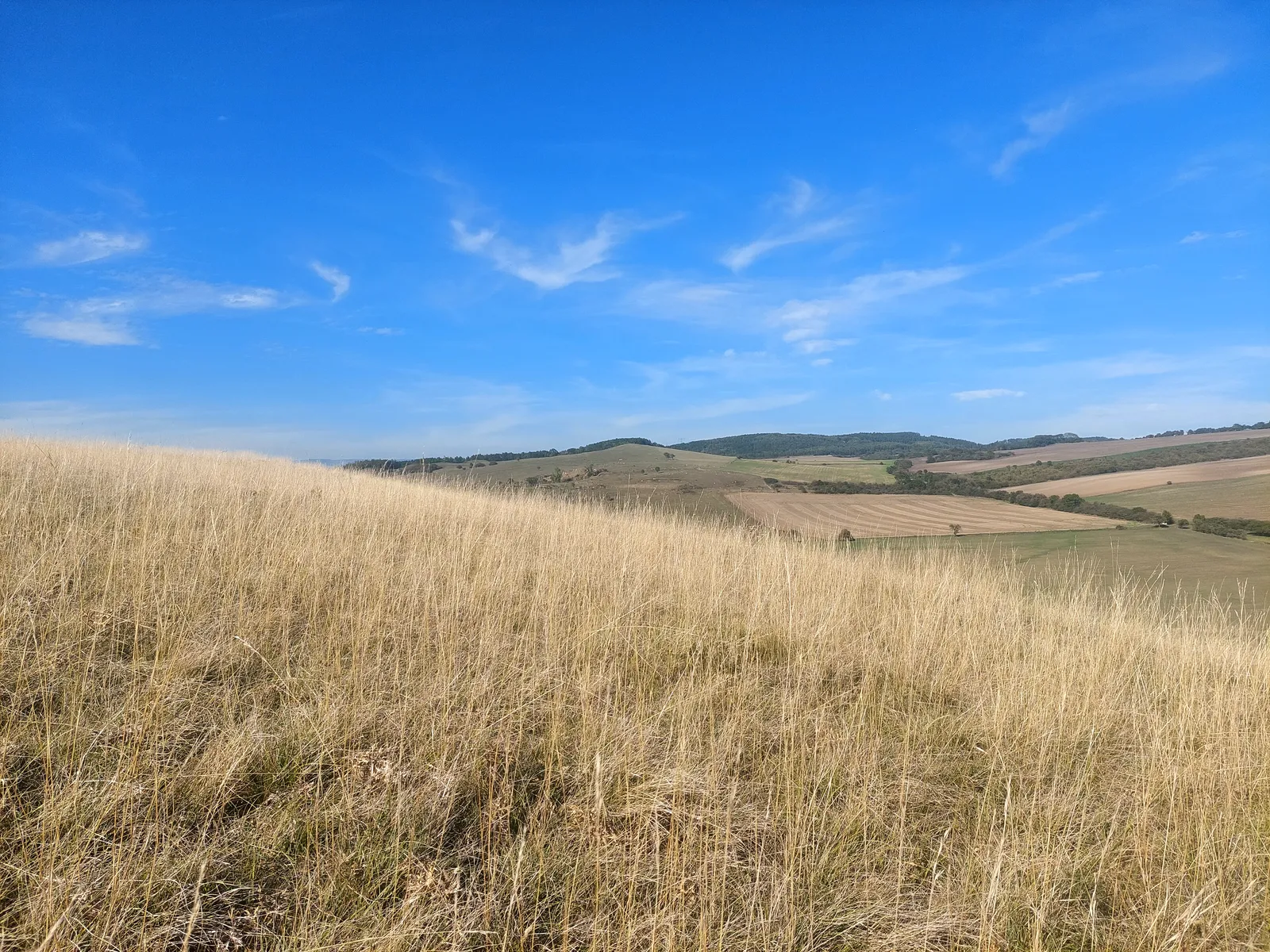
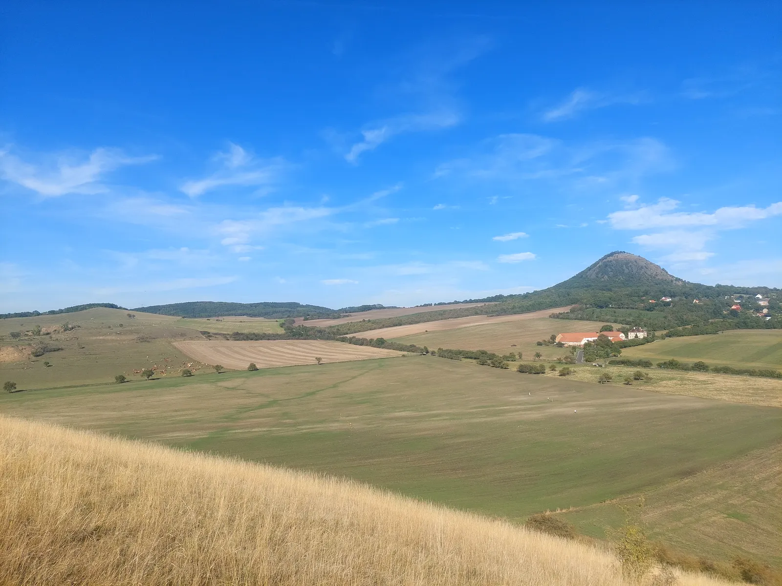
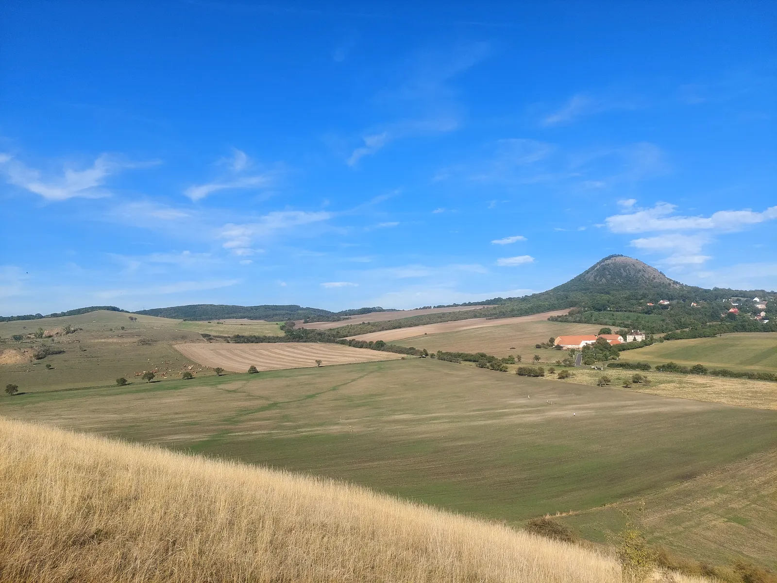
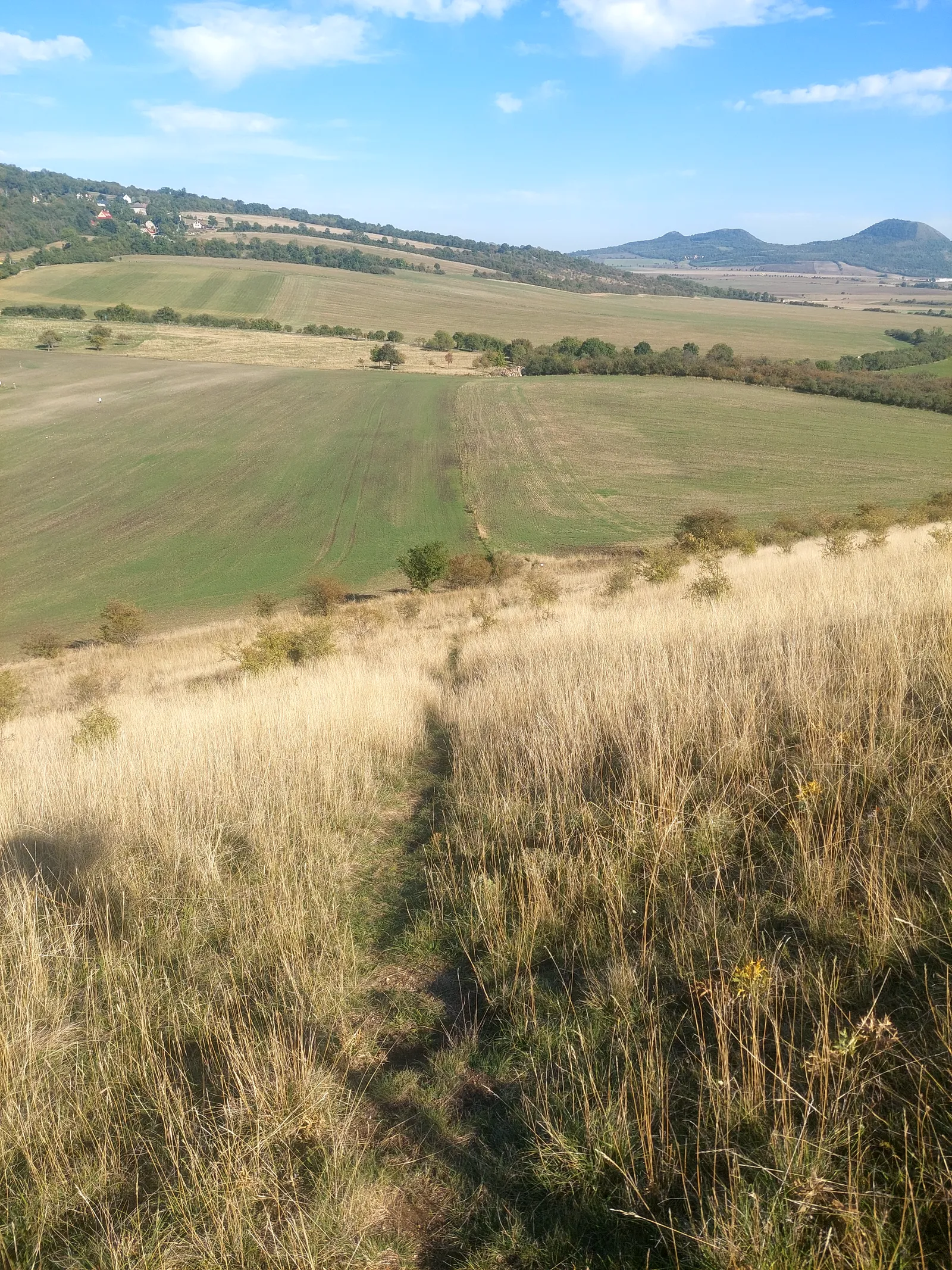
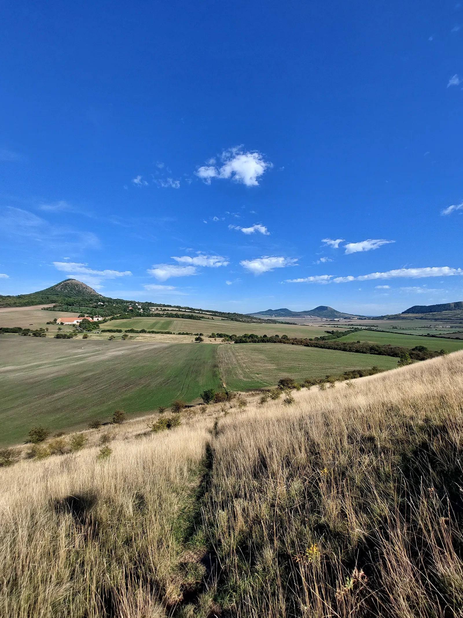
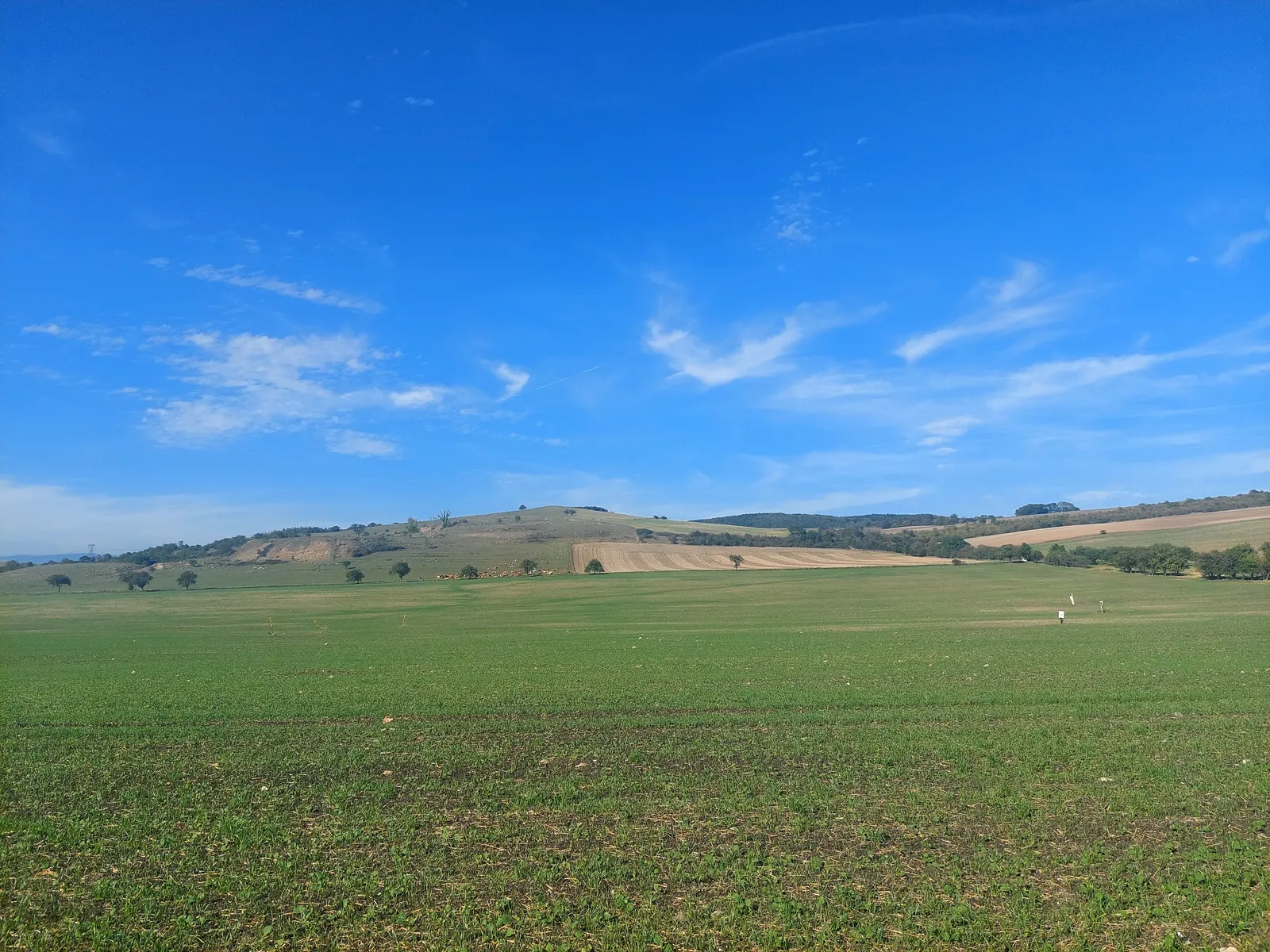
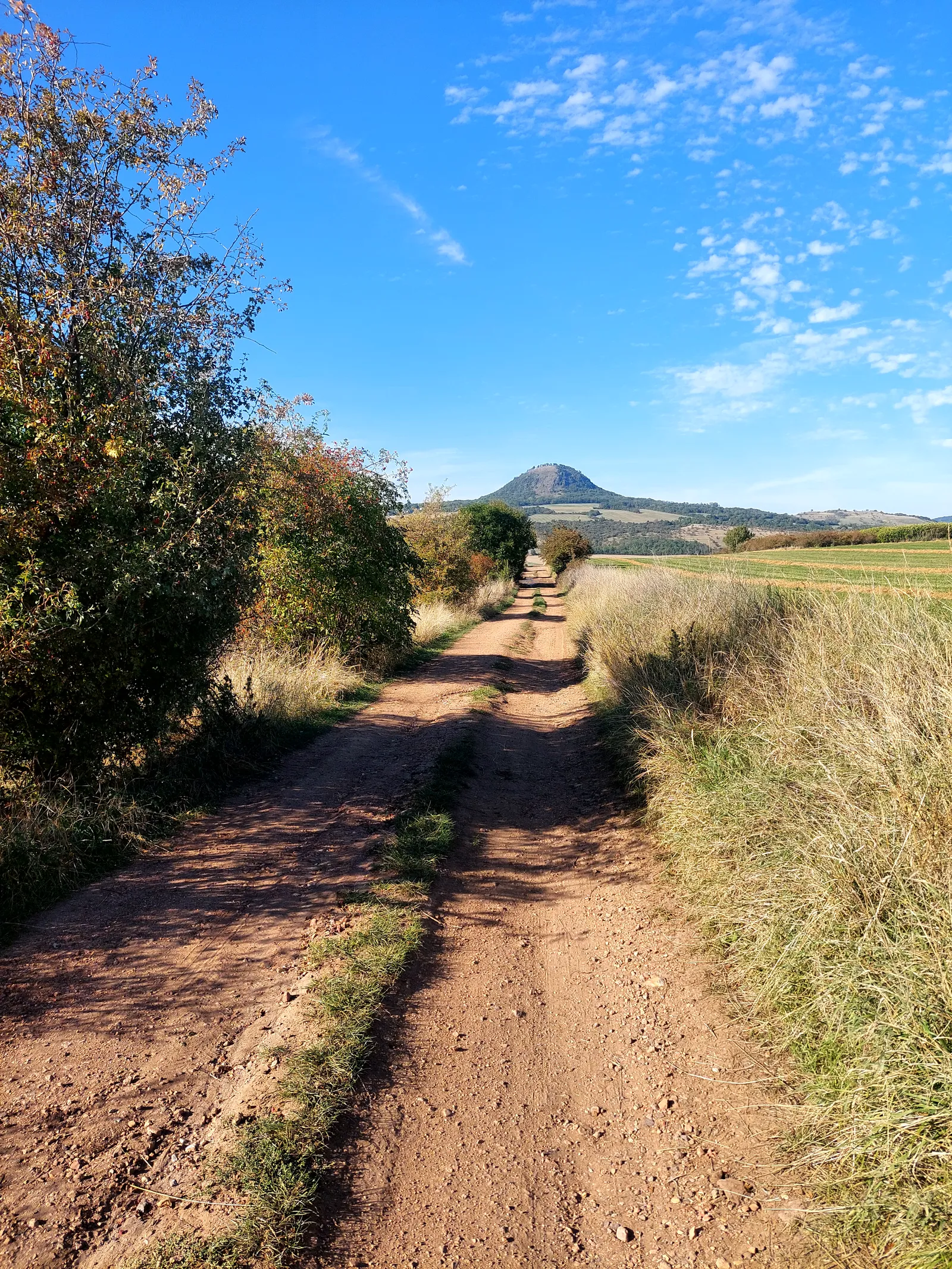
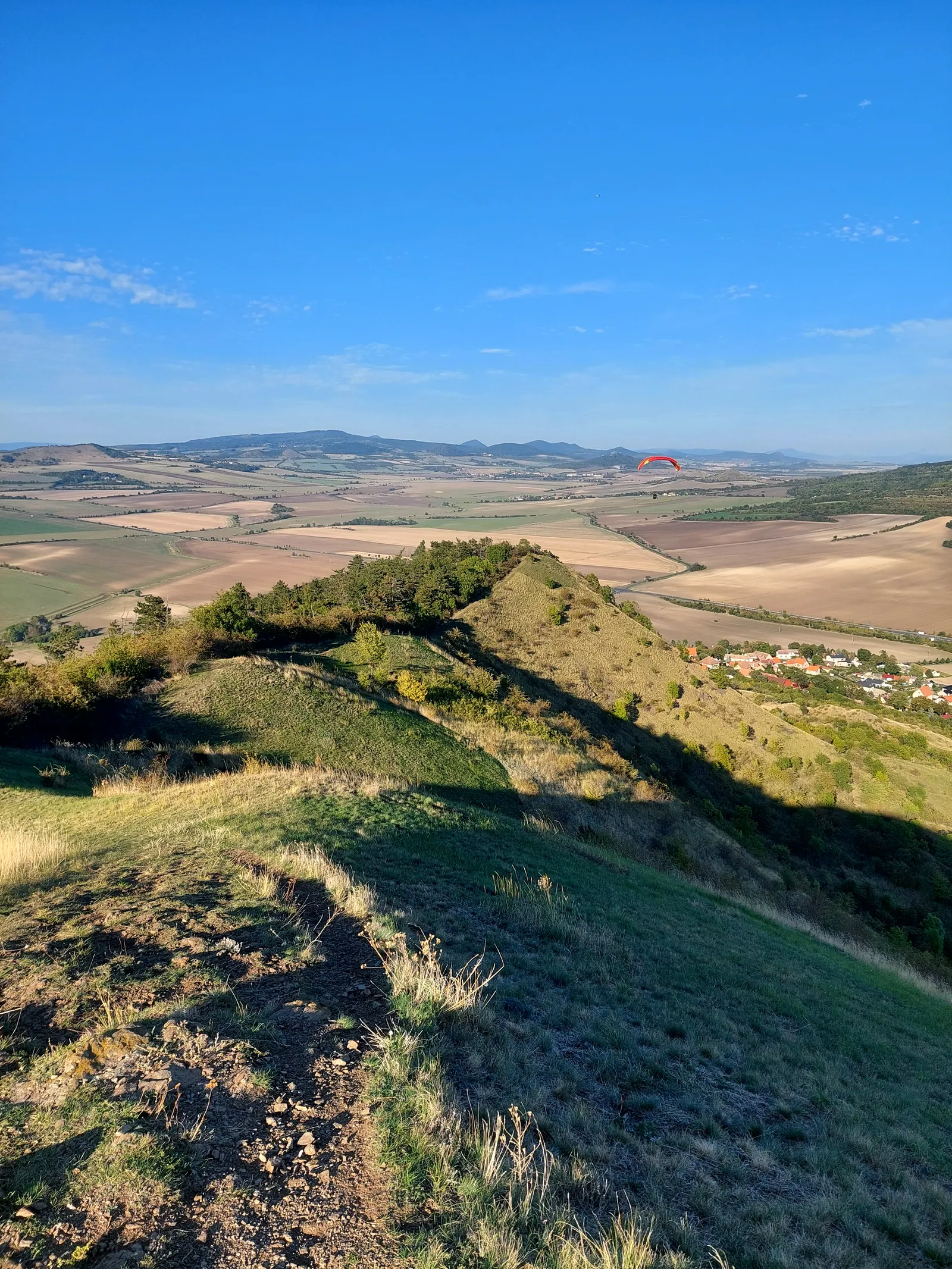
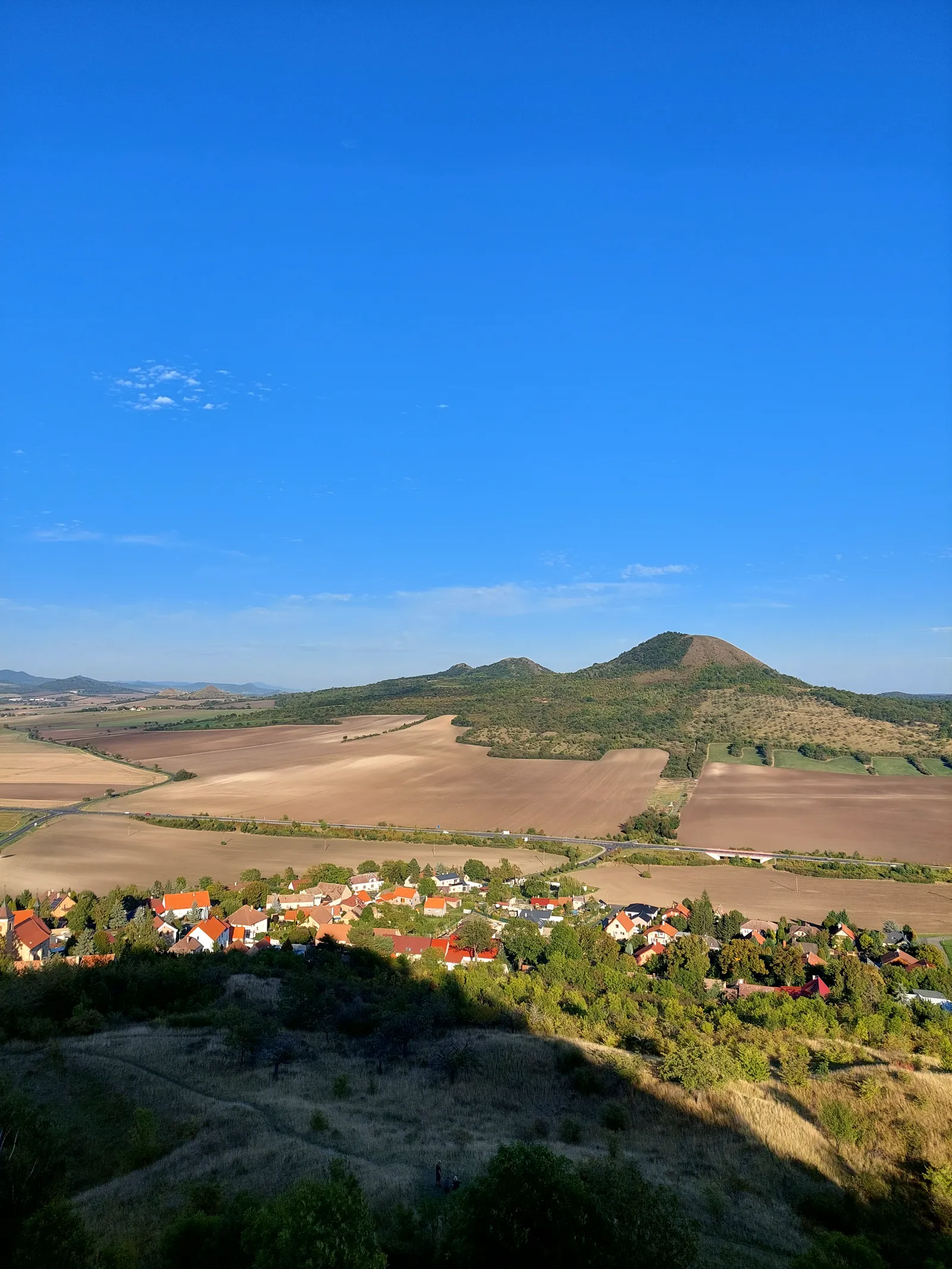
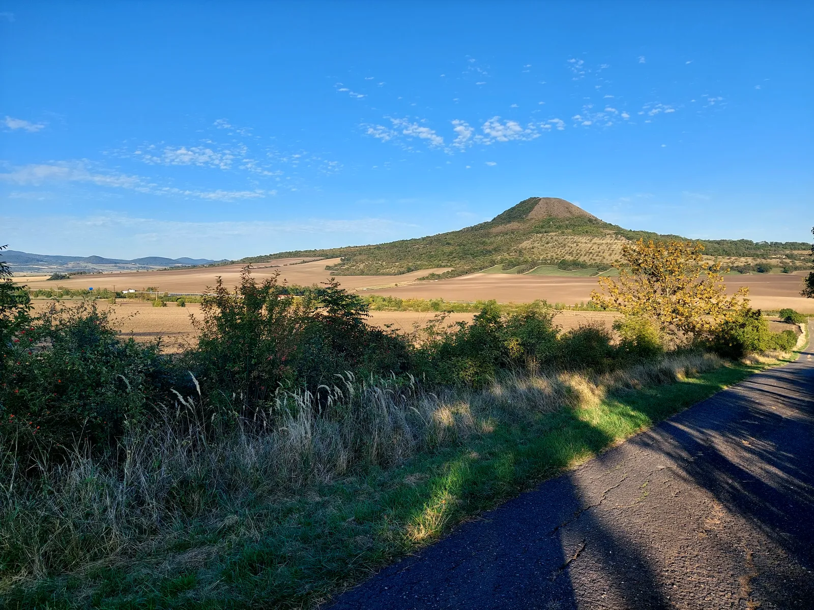
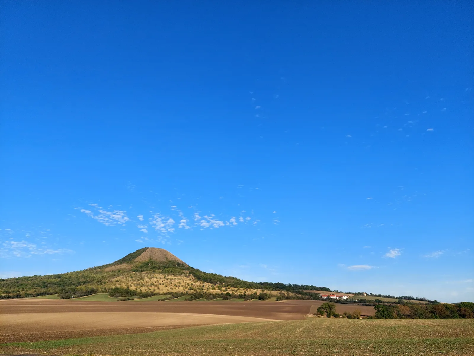
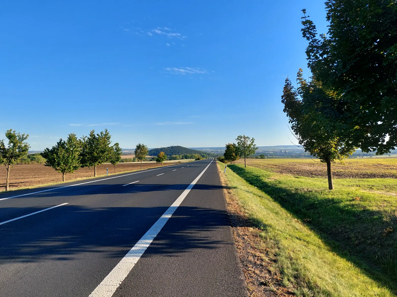
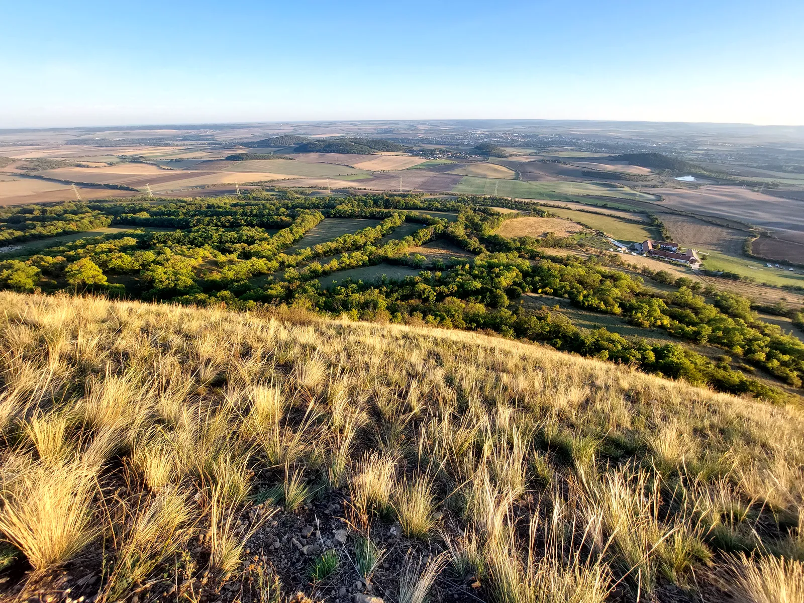
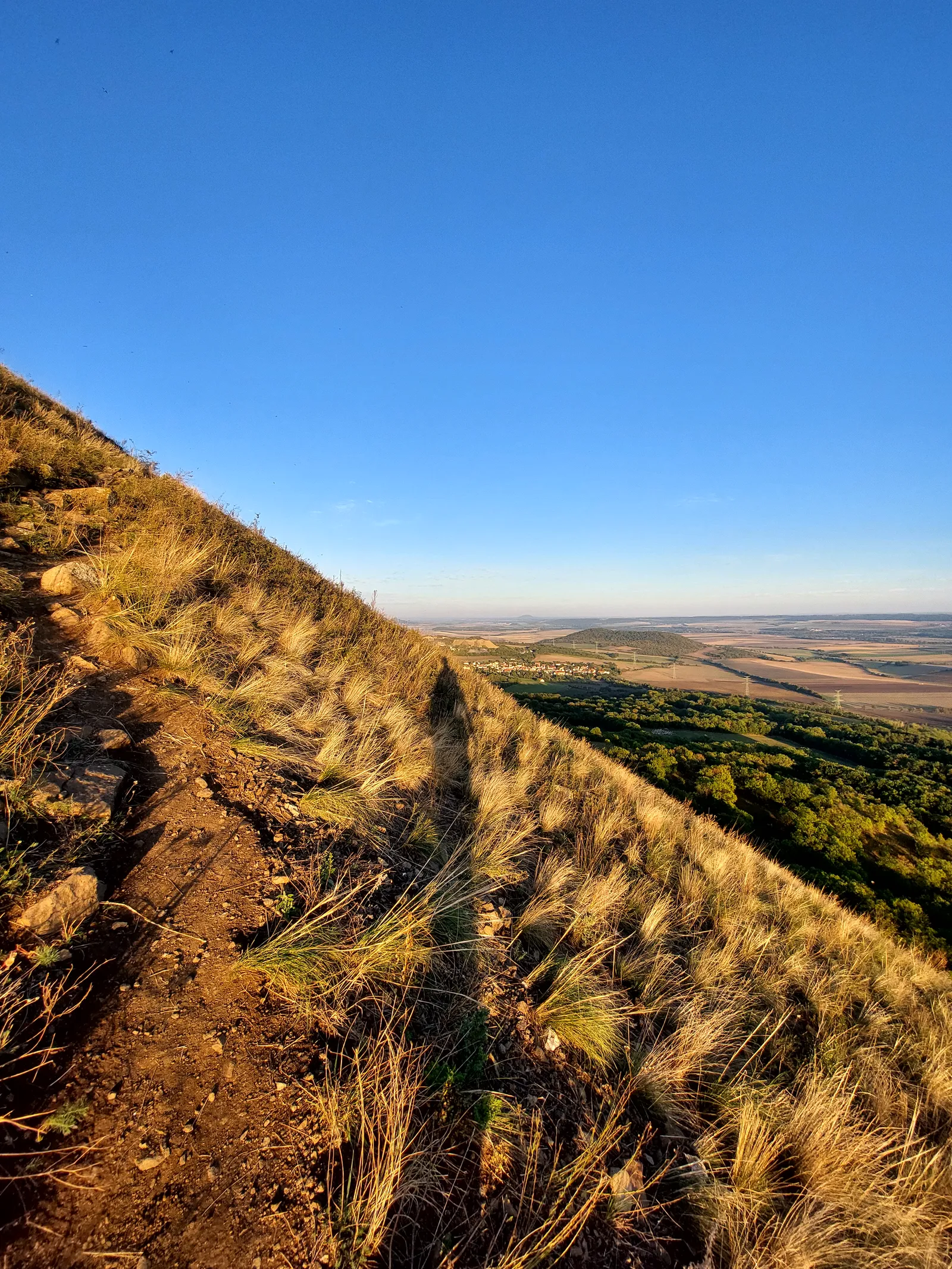
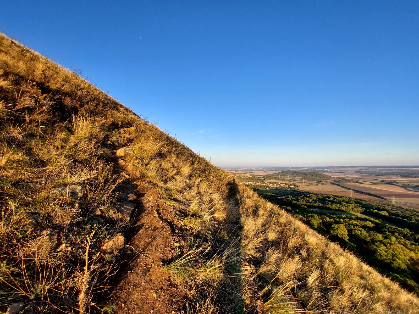
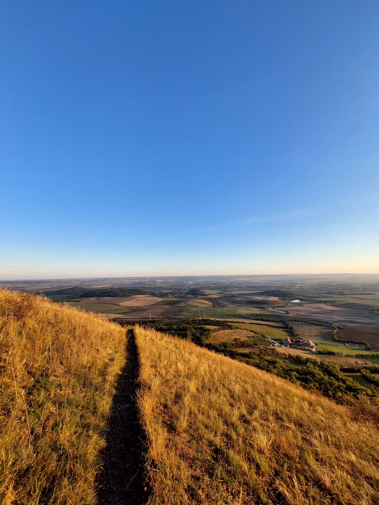
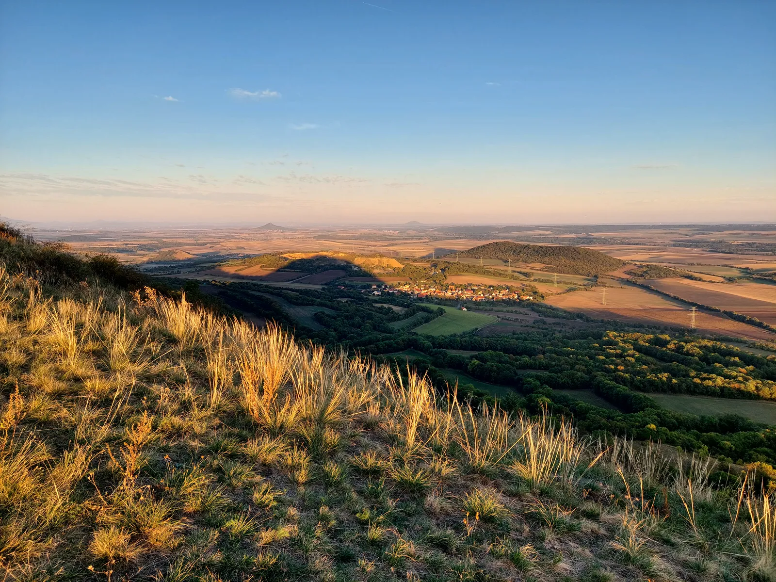
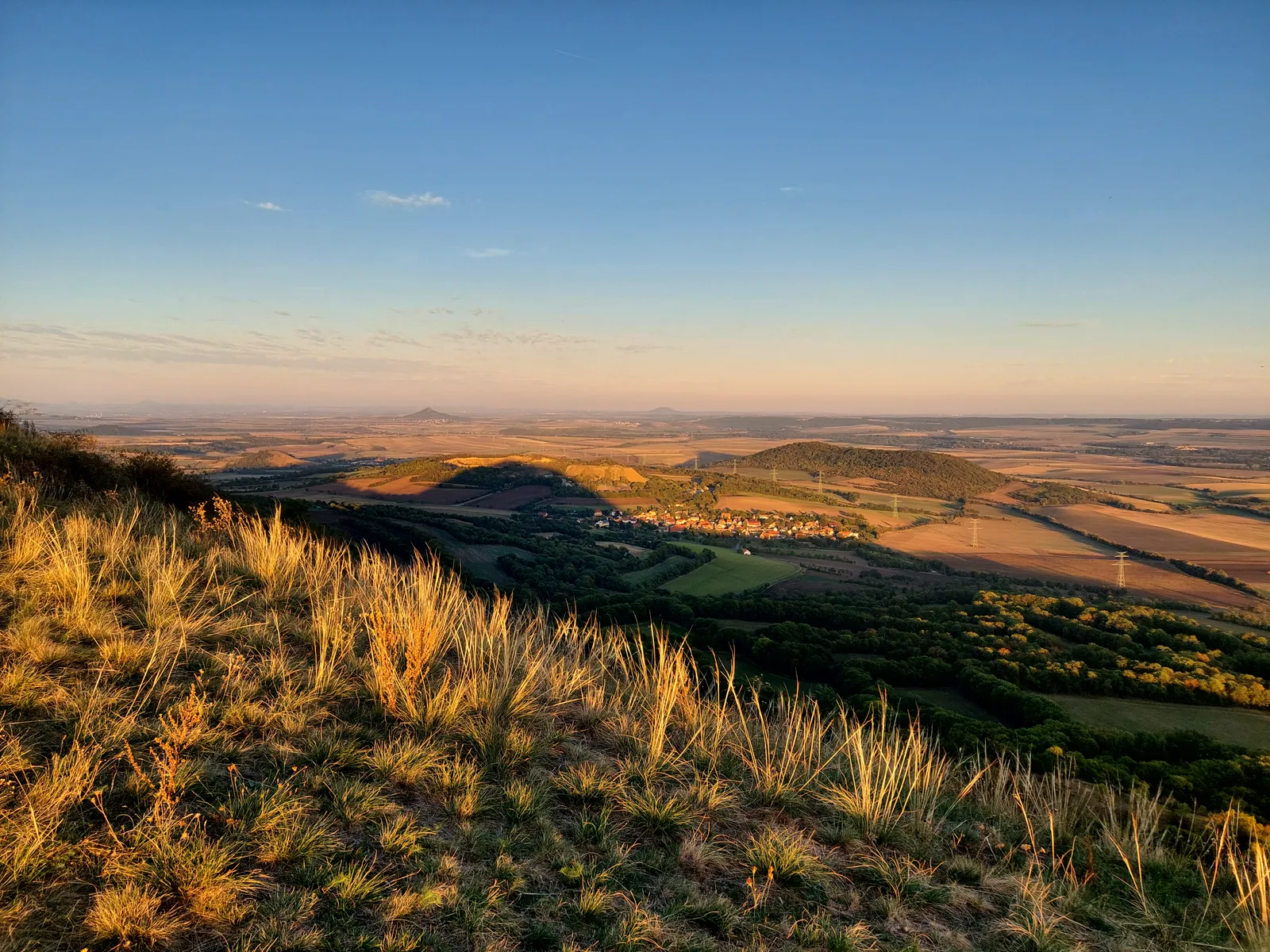
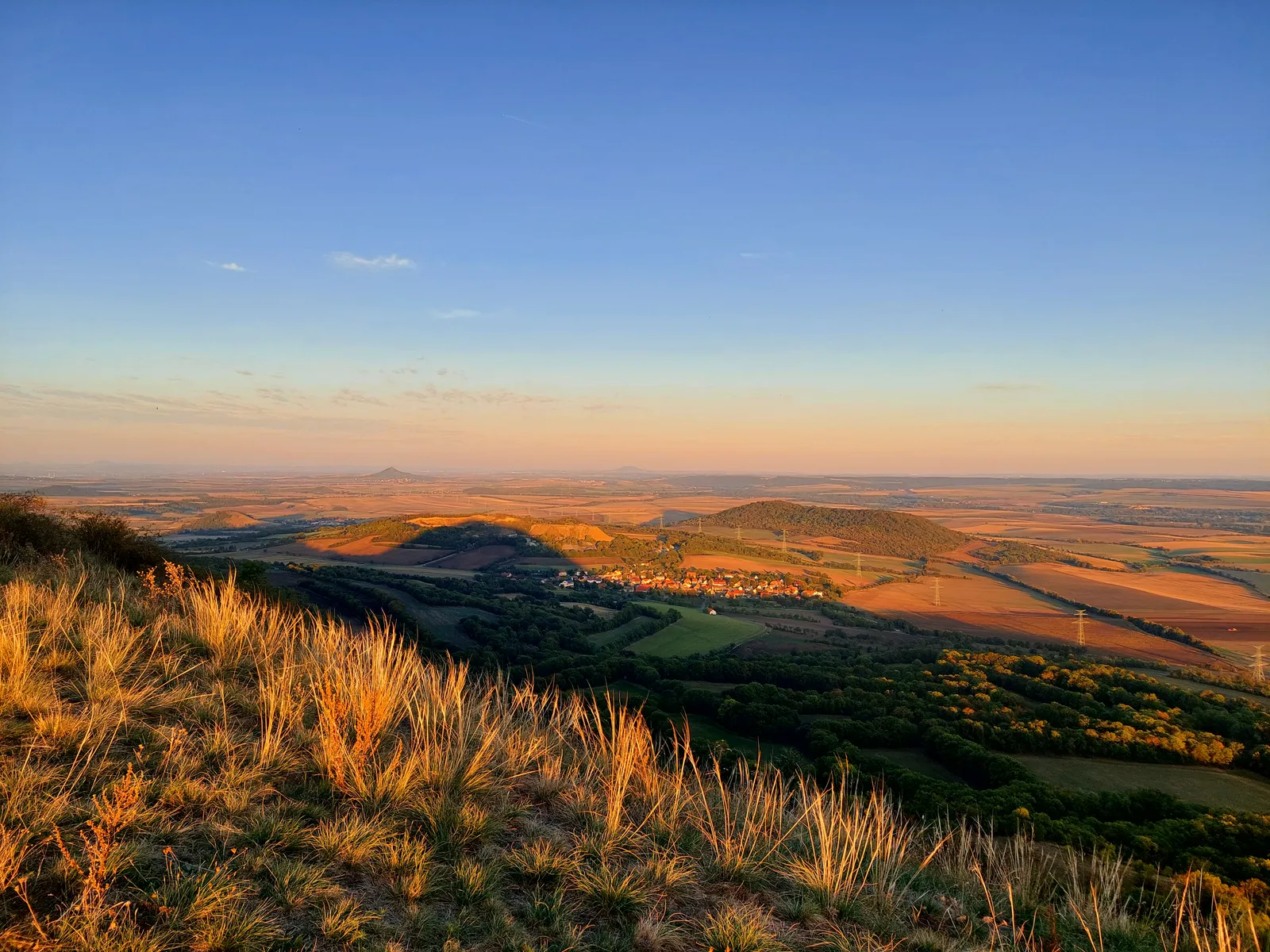
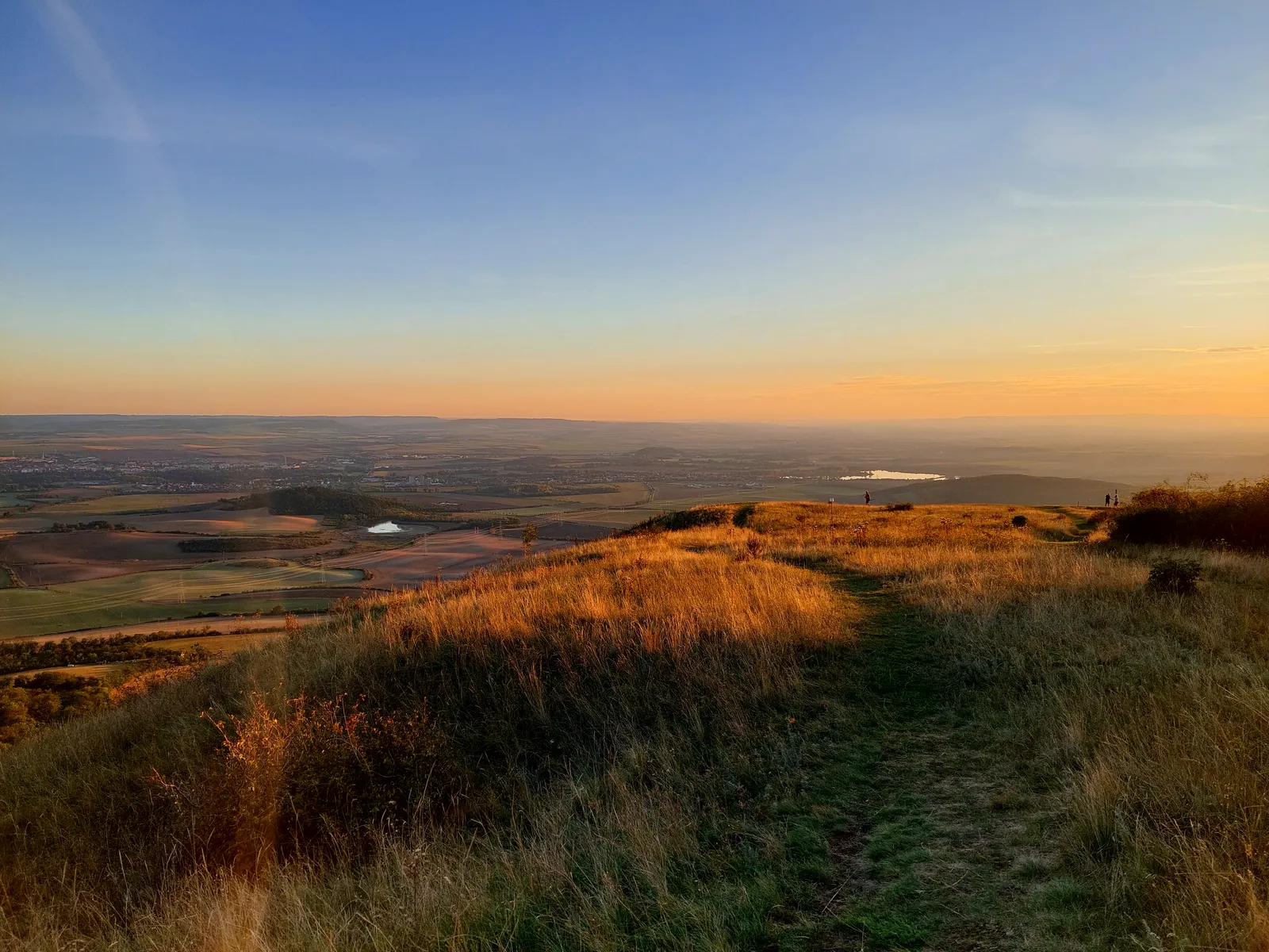
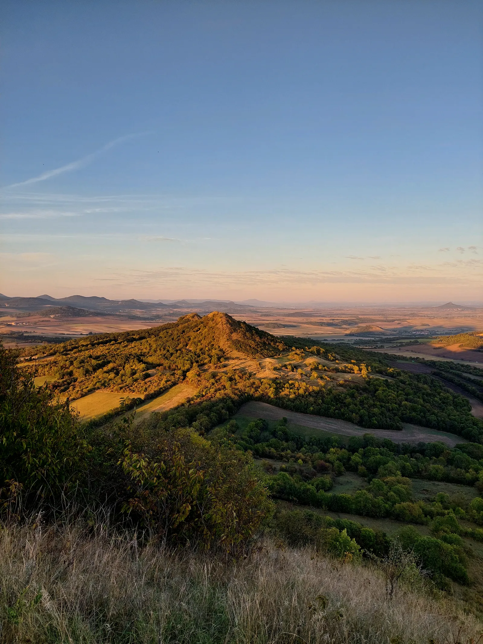
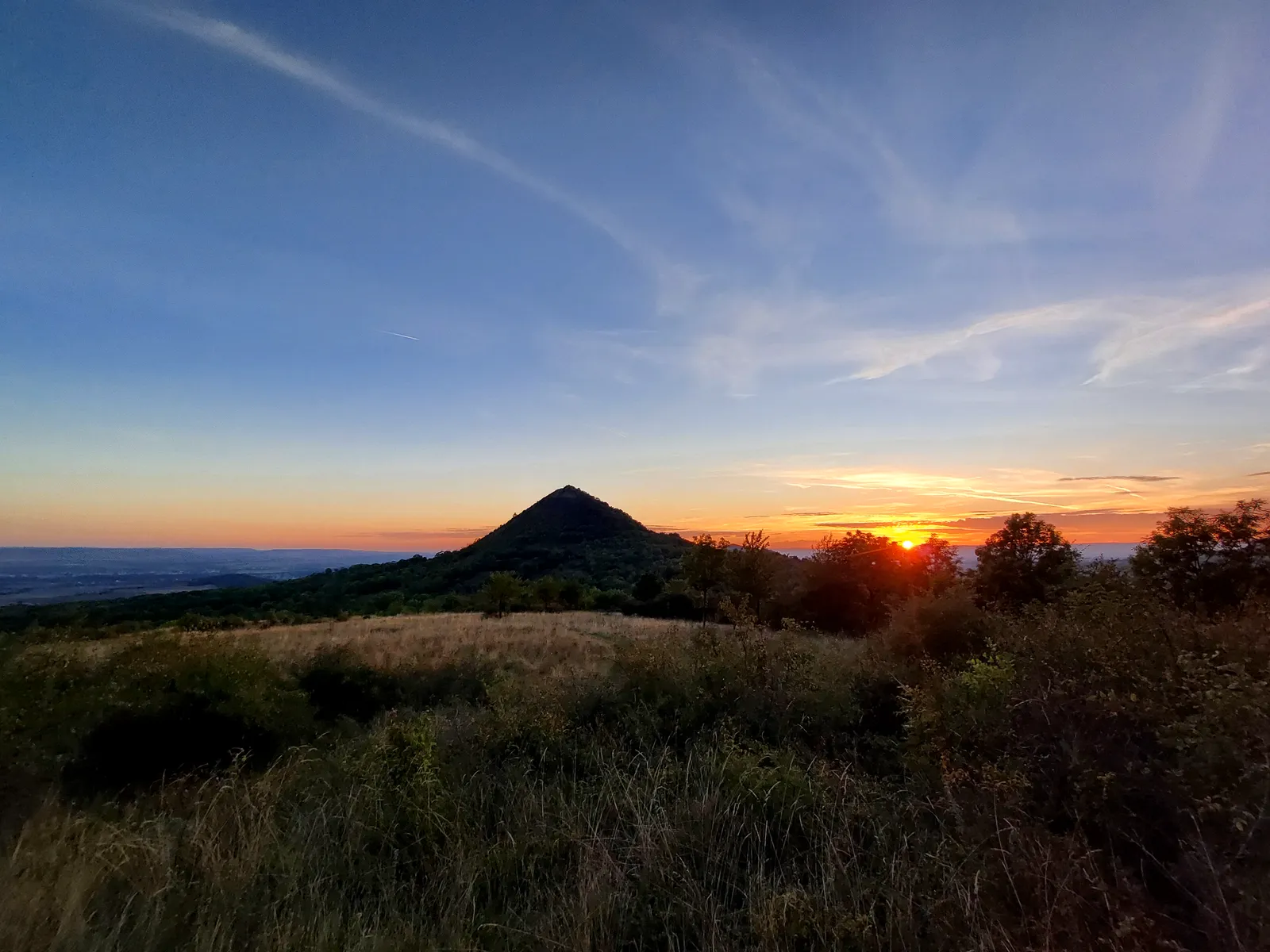
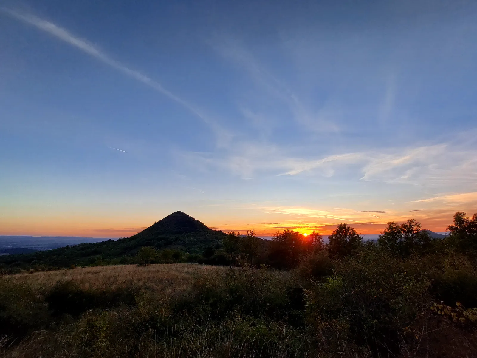
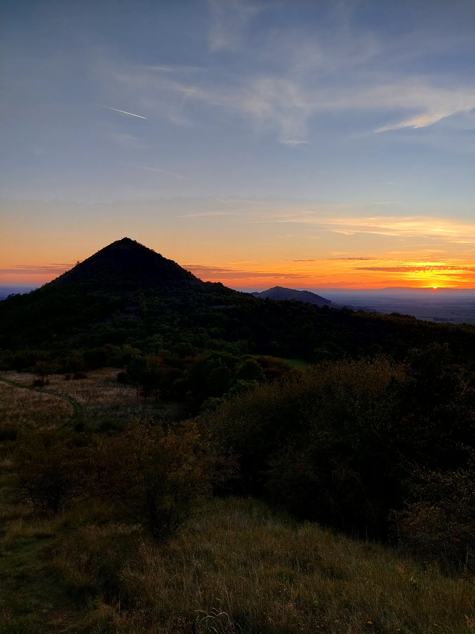
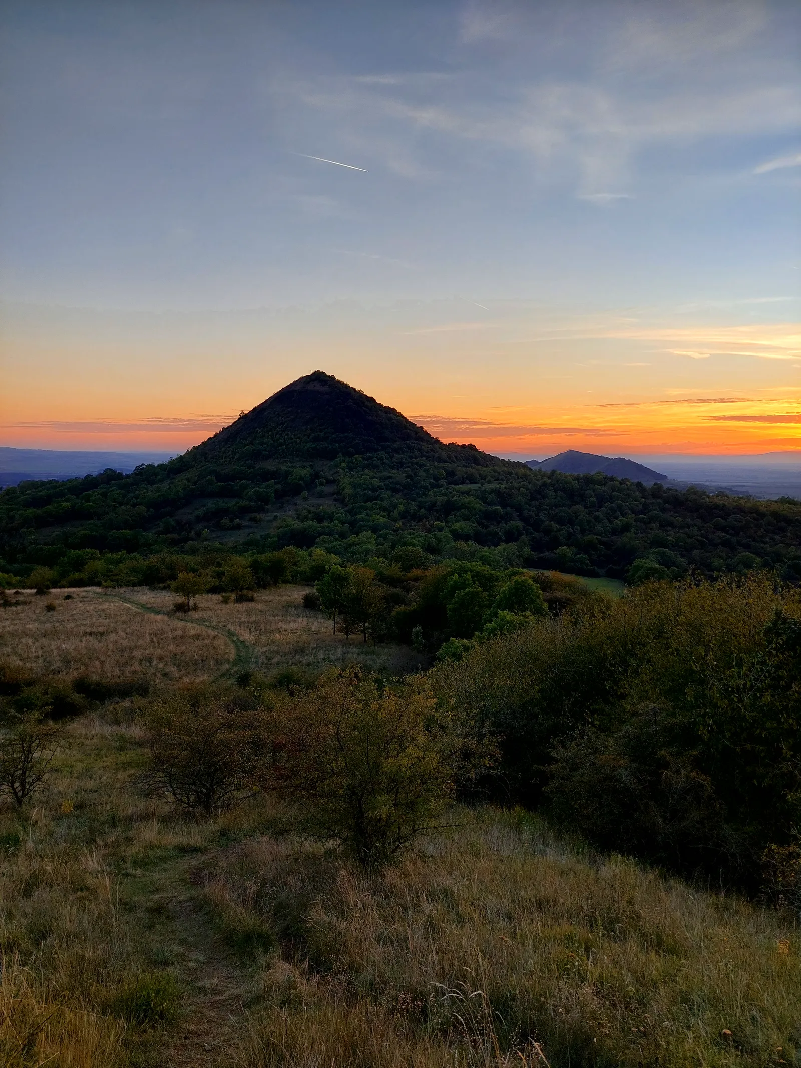
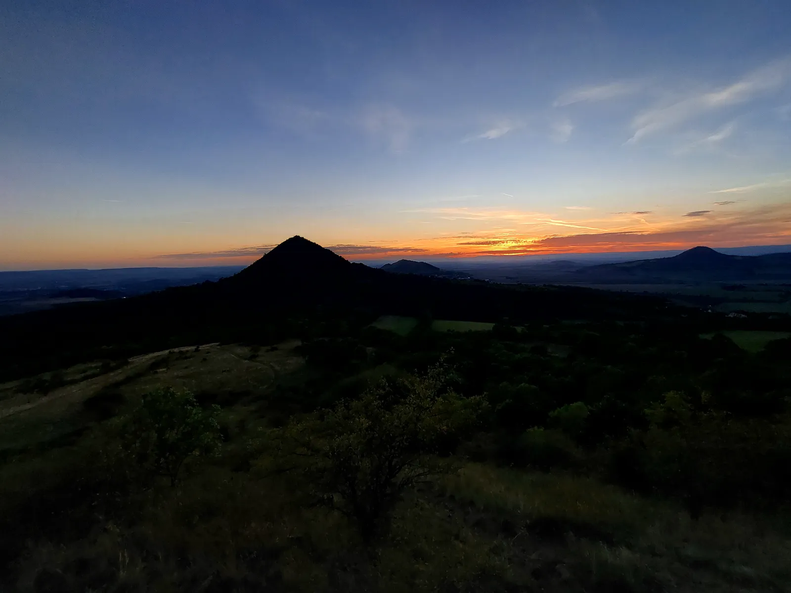
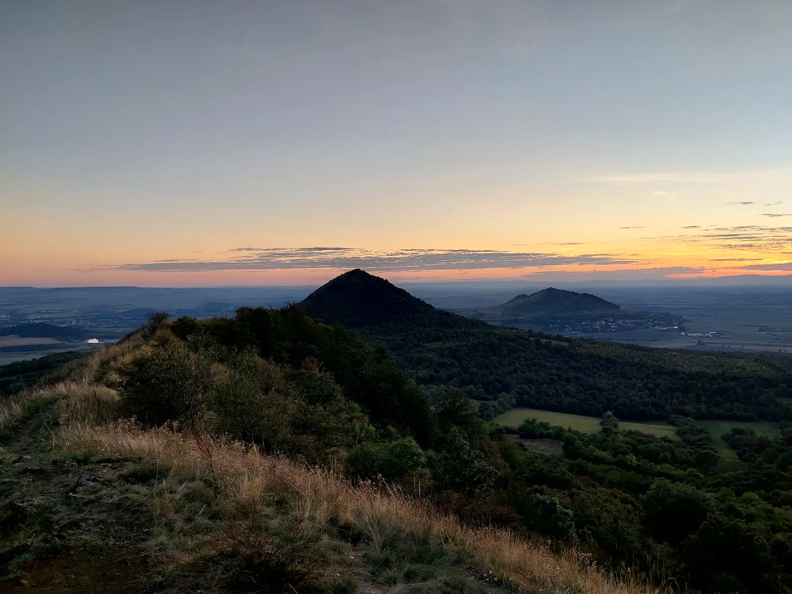
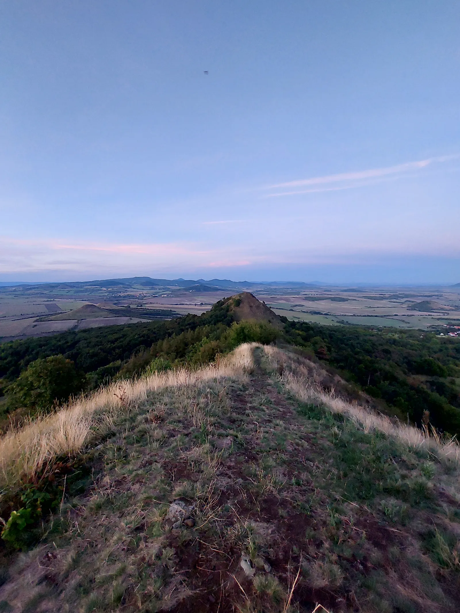
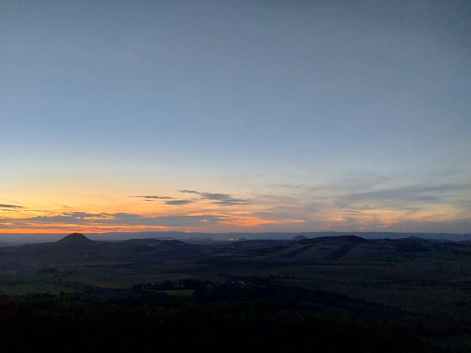
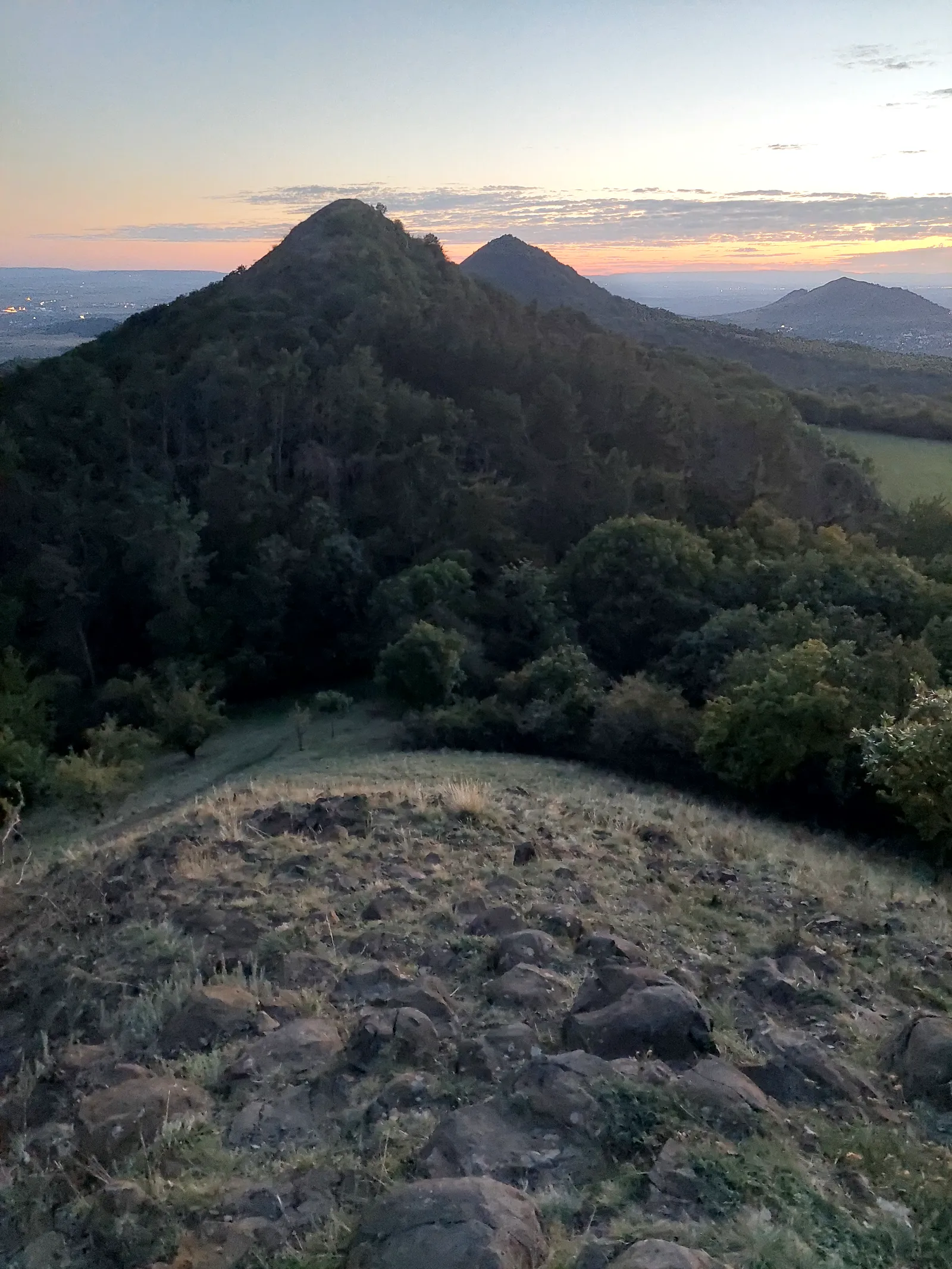
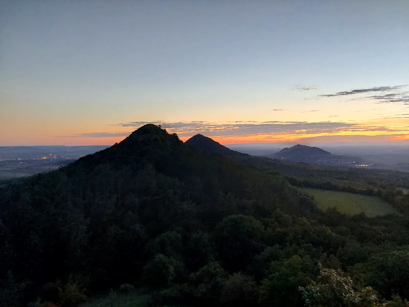
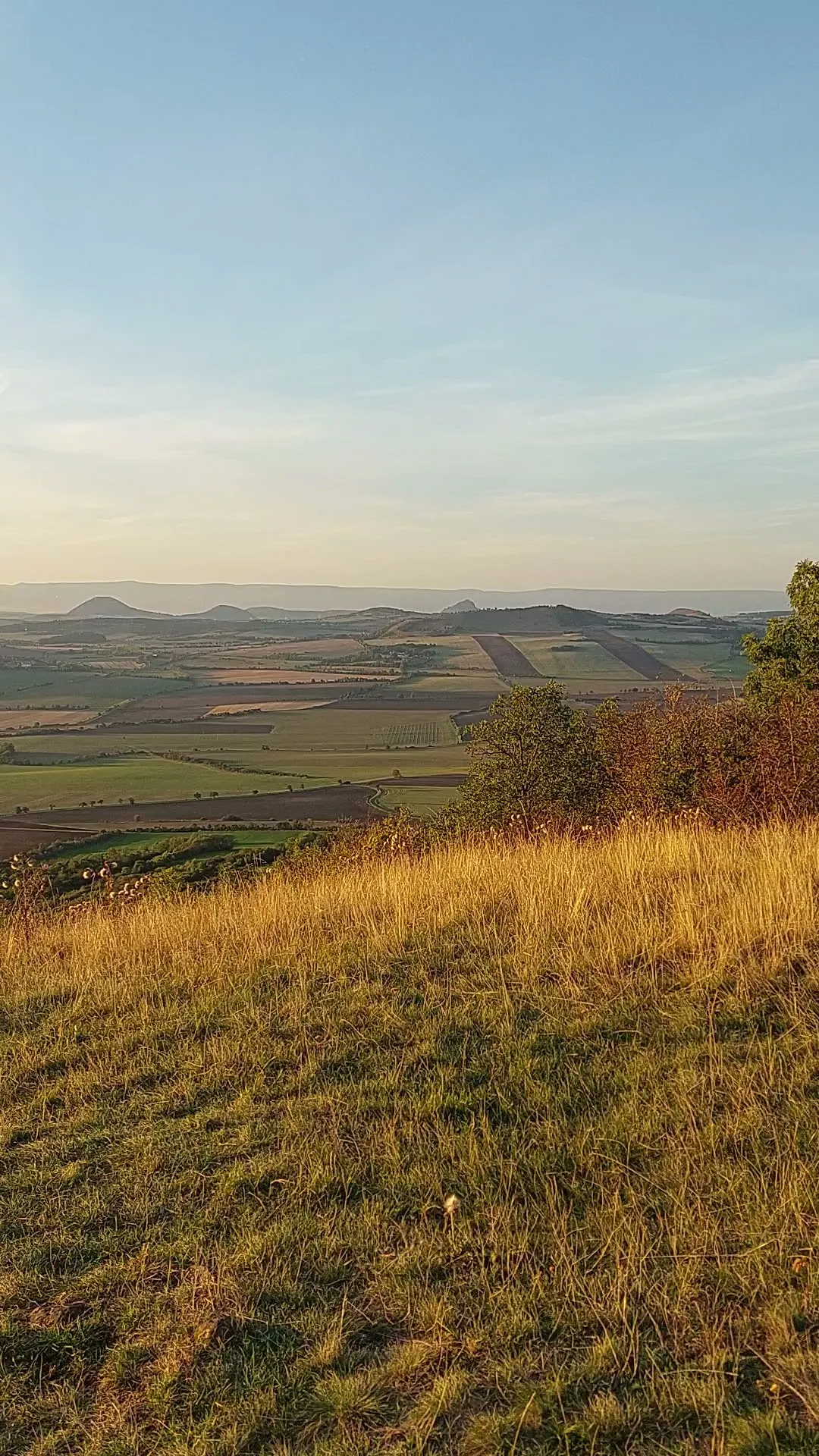
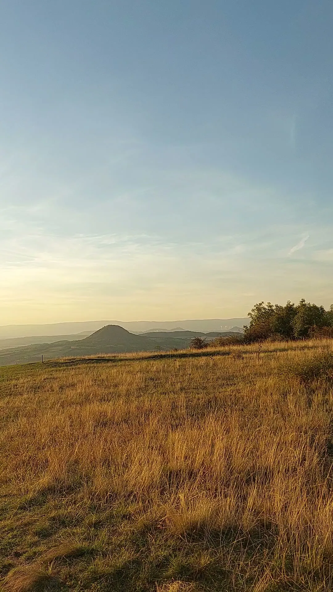
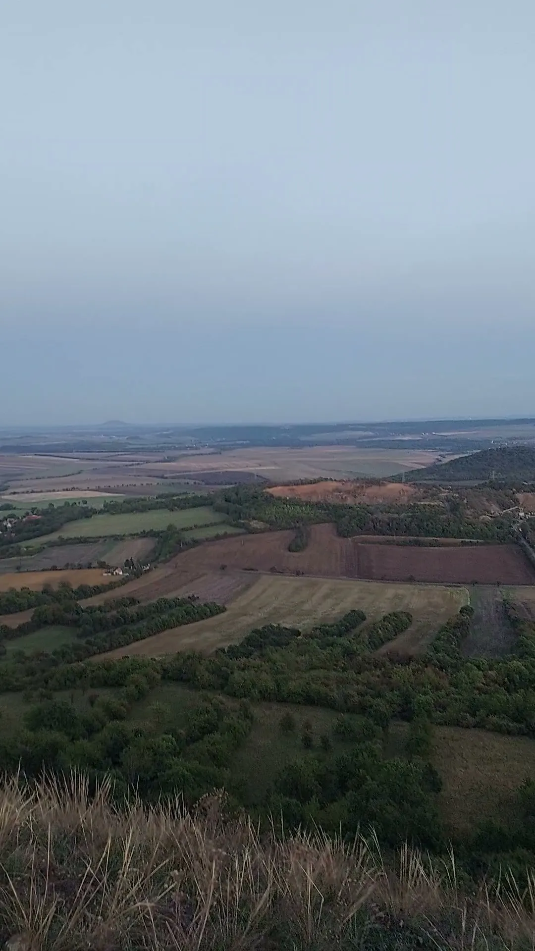
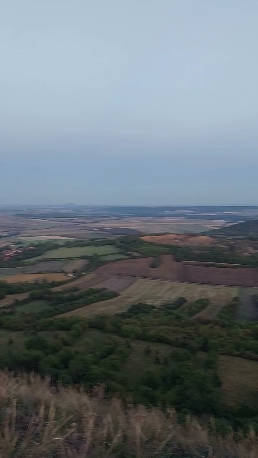
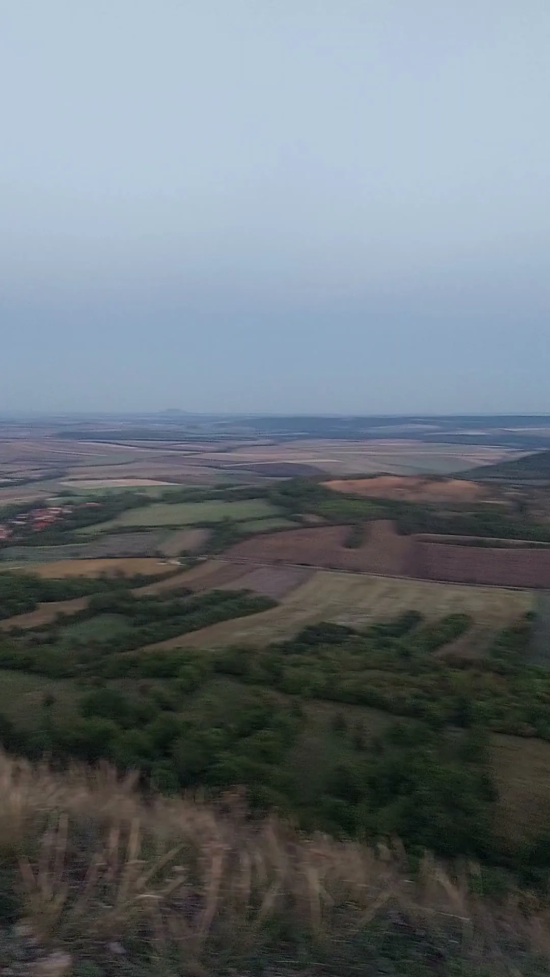
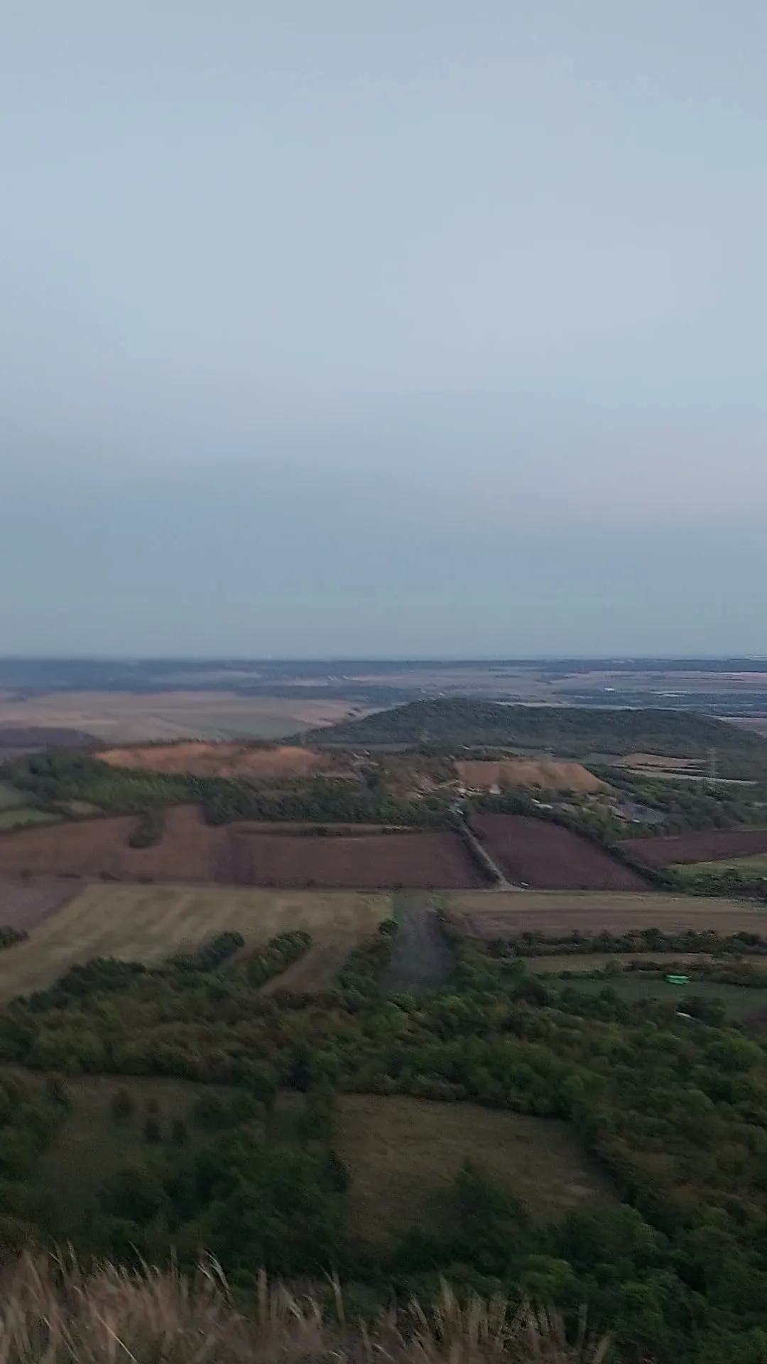
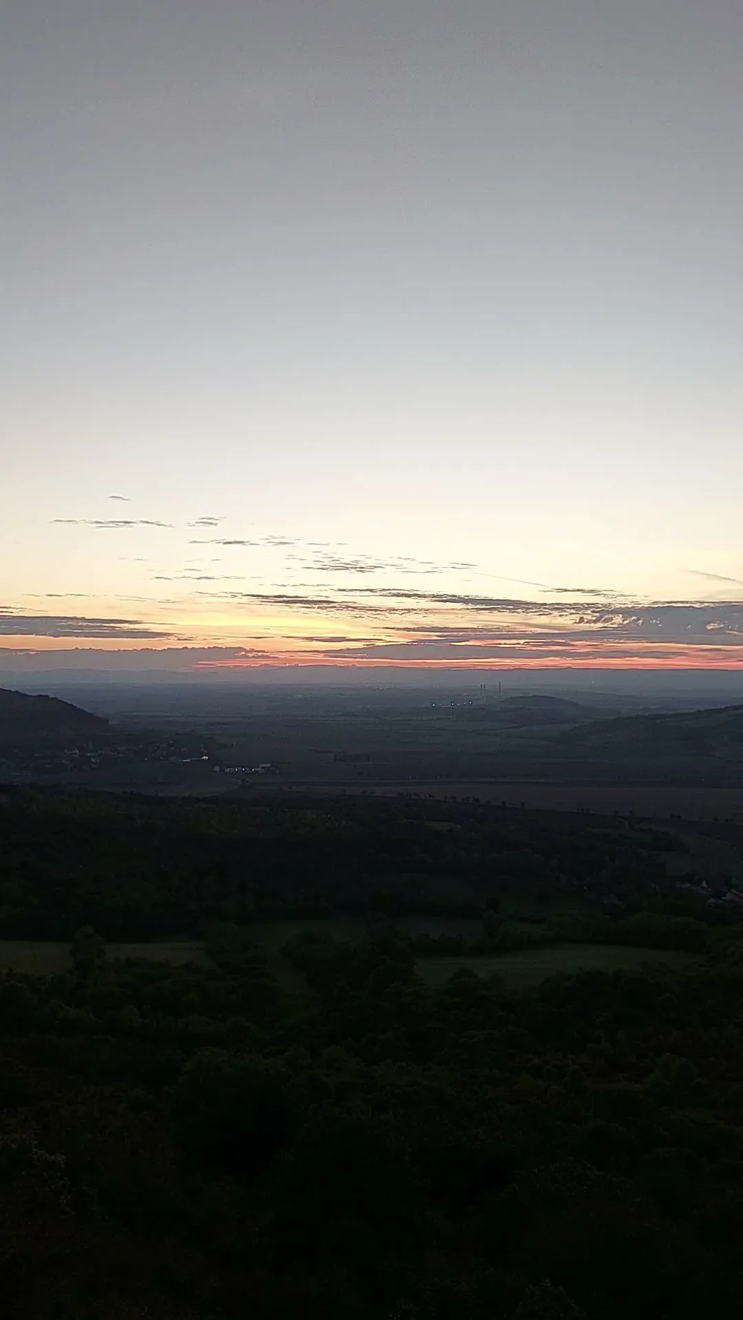
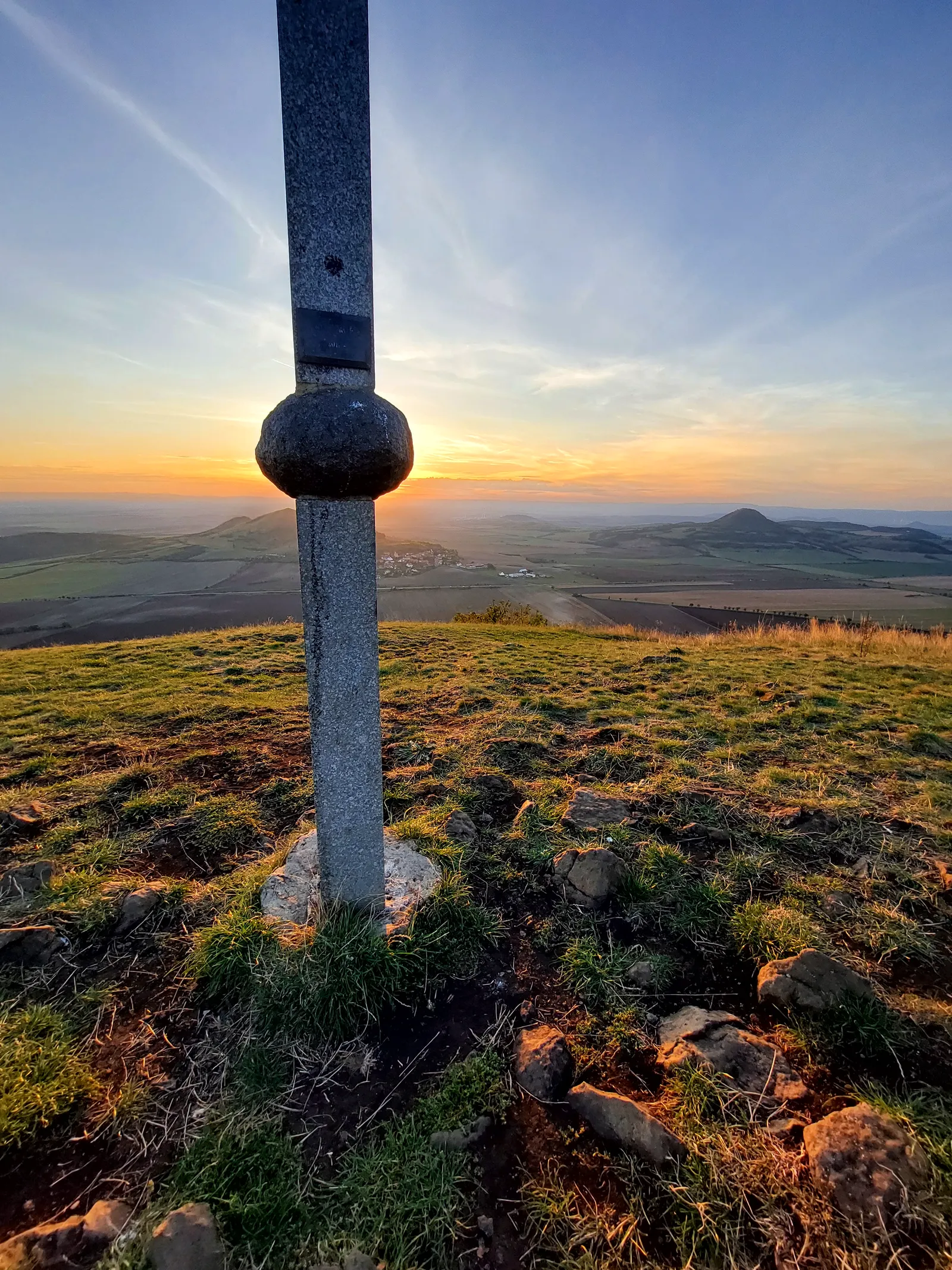
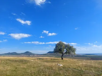
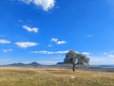
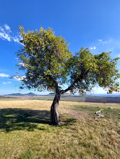
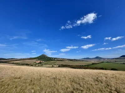
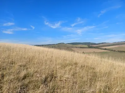
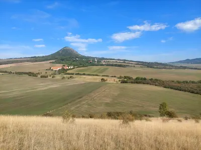
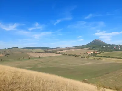
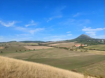
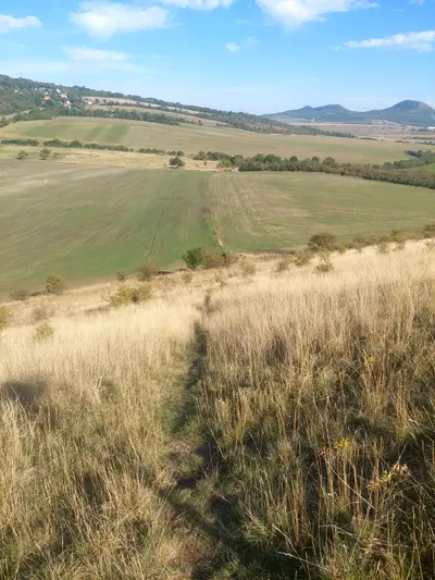
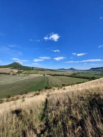
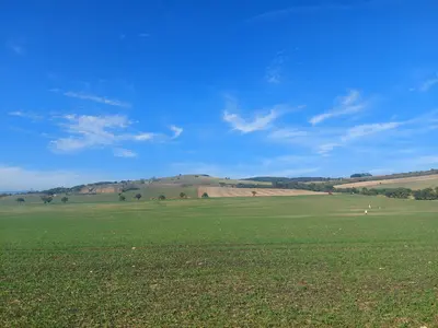
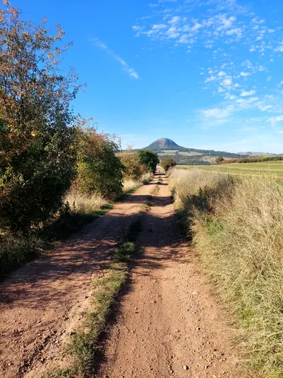
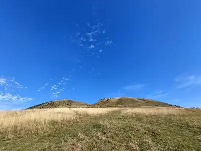
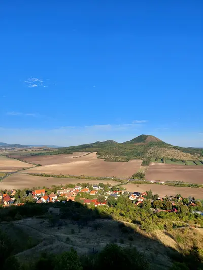
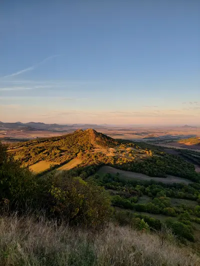
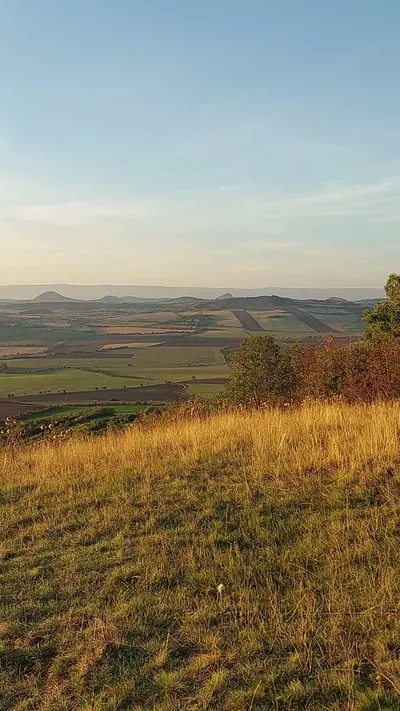
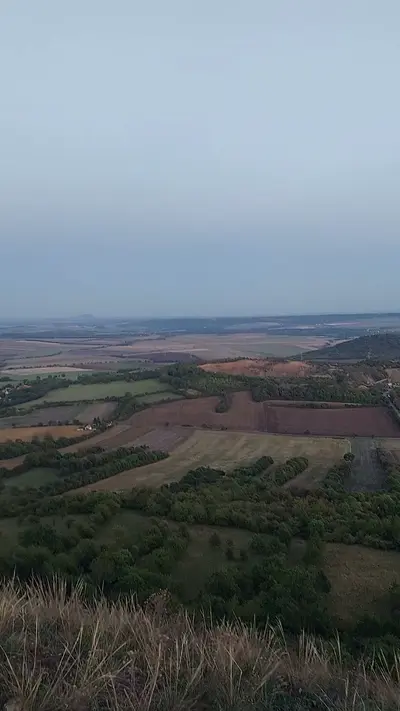
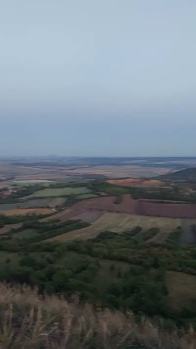
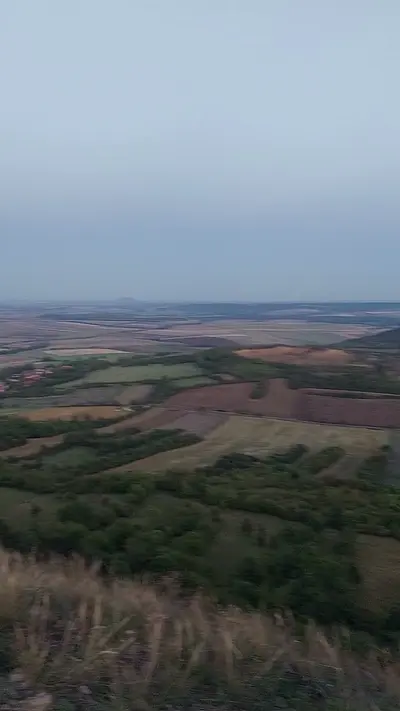
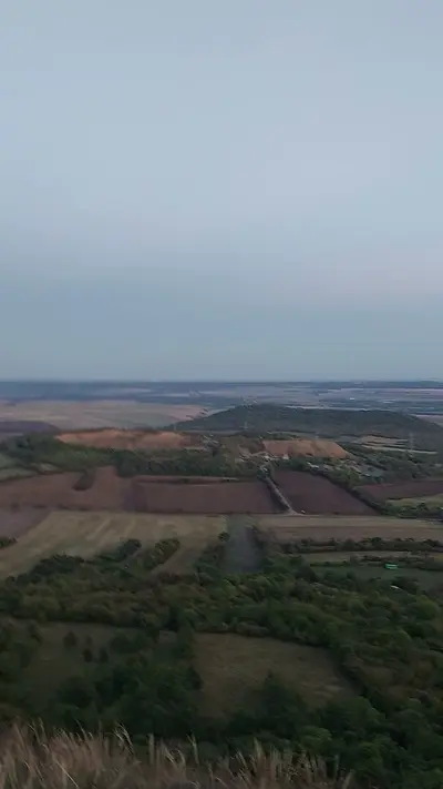
The hills of the Lounské středohoří are bare steppe cones standing in open farmland. Every summit is a viewpoint and every climb is short and steep. This route connects the best of them between two small railway stations. There is no reliable refreshment on the way, so carry water for the whole day, especially in late summer, when the steppe gets very hot.
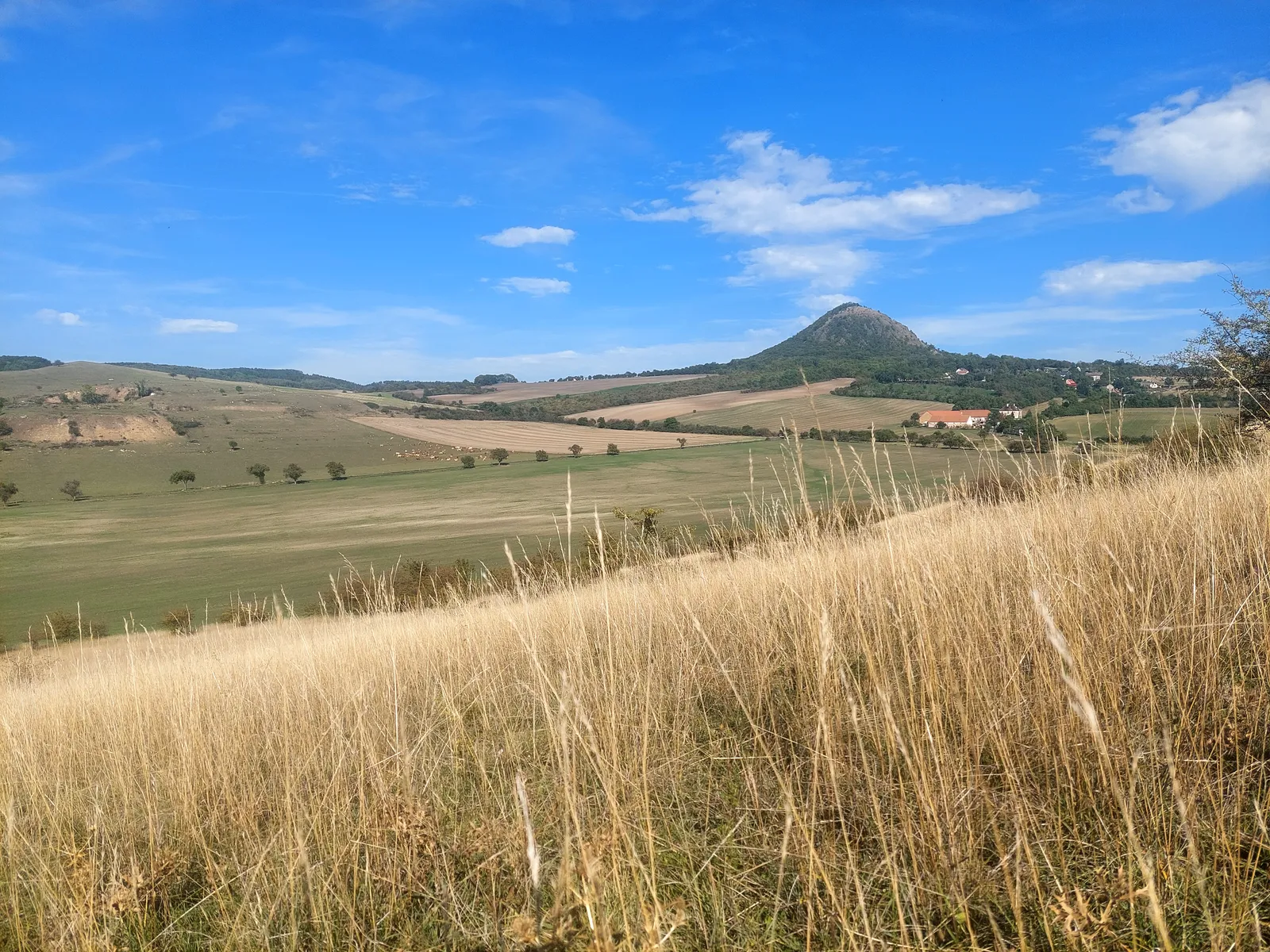
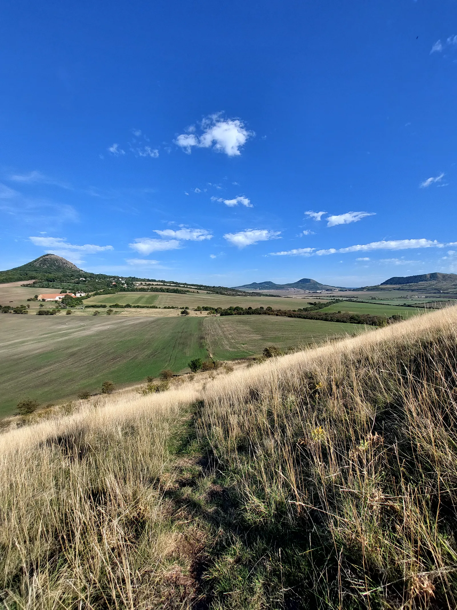
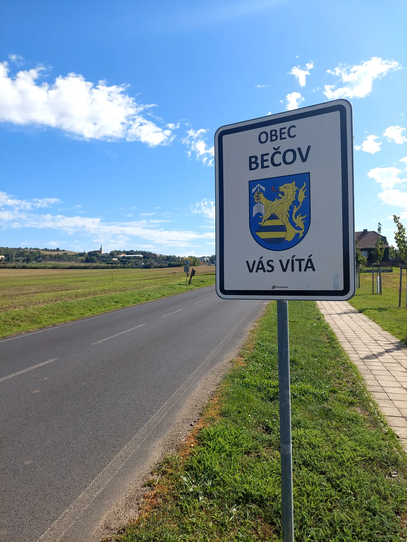
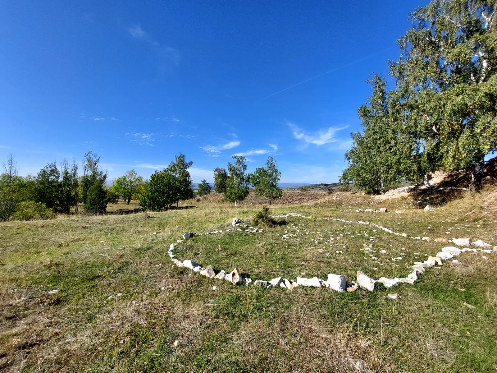
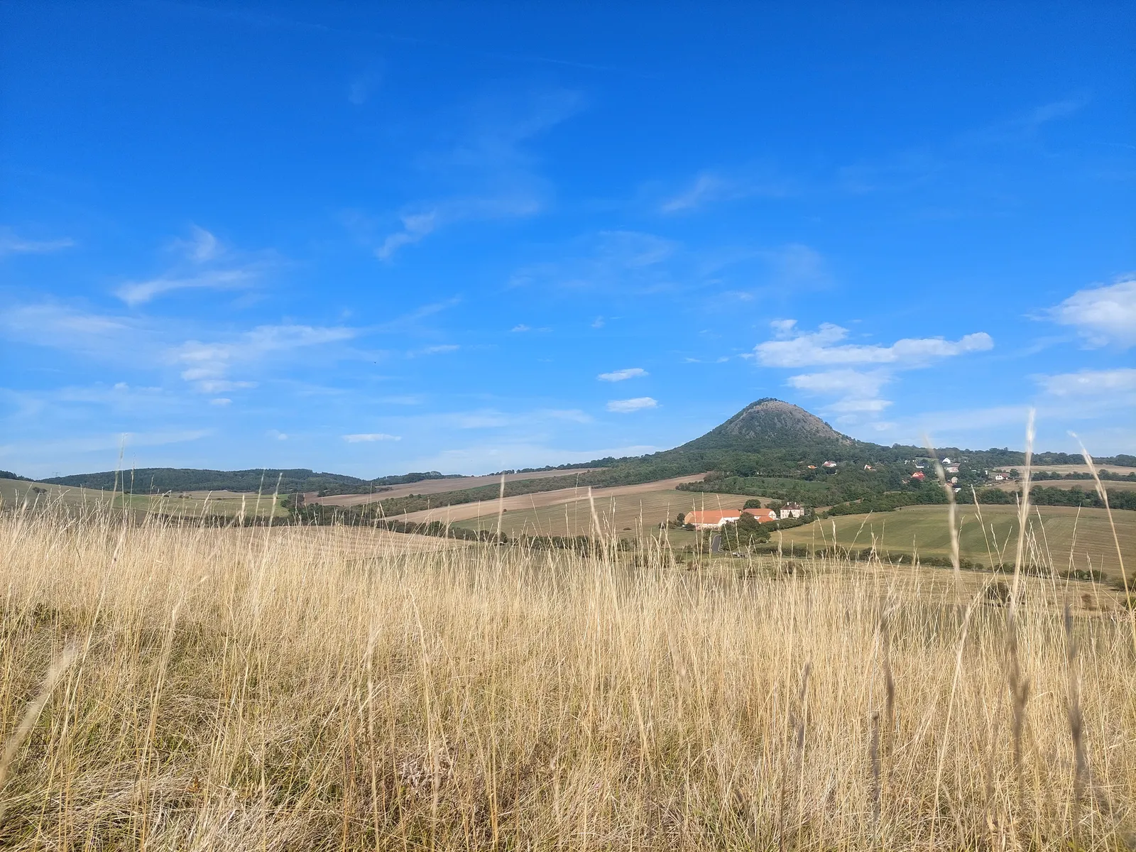
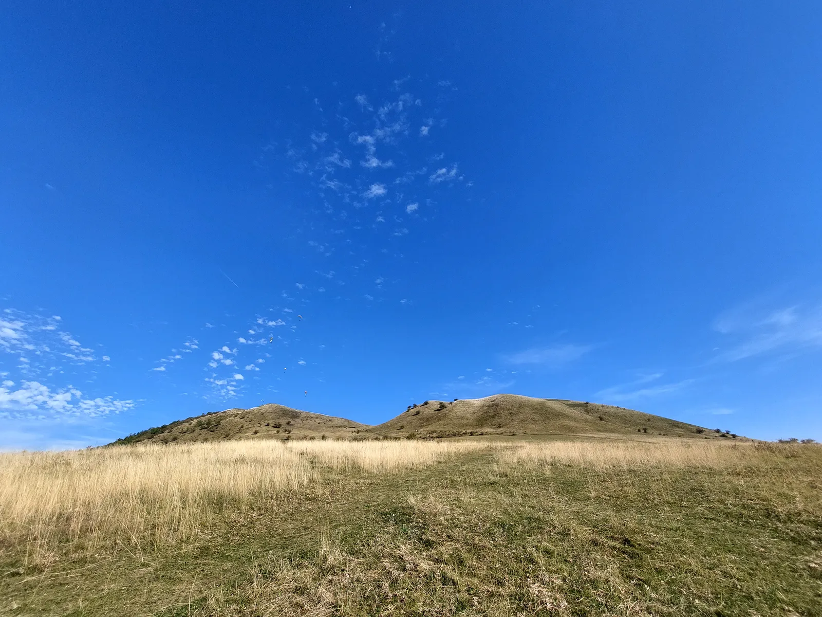
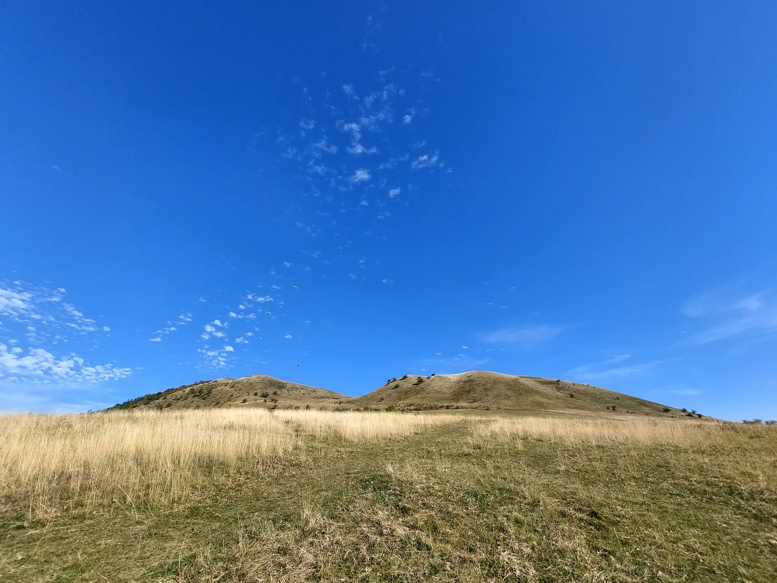
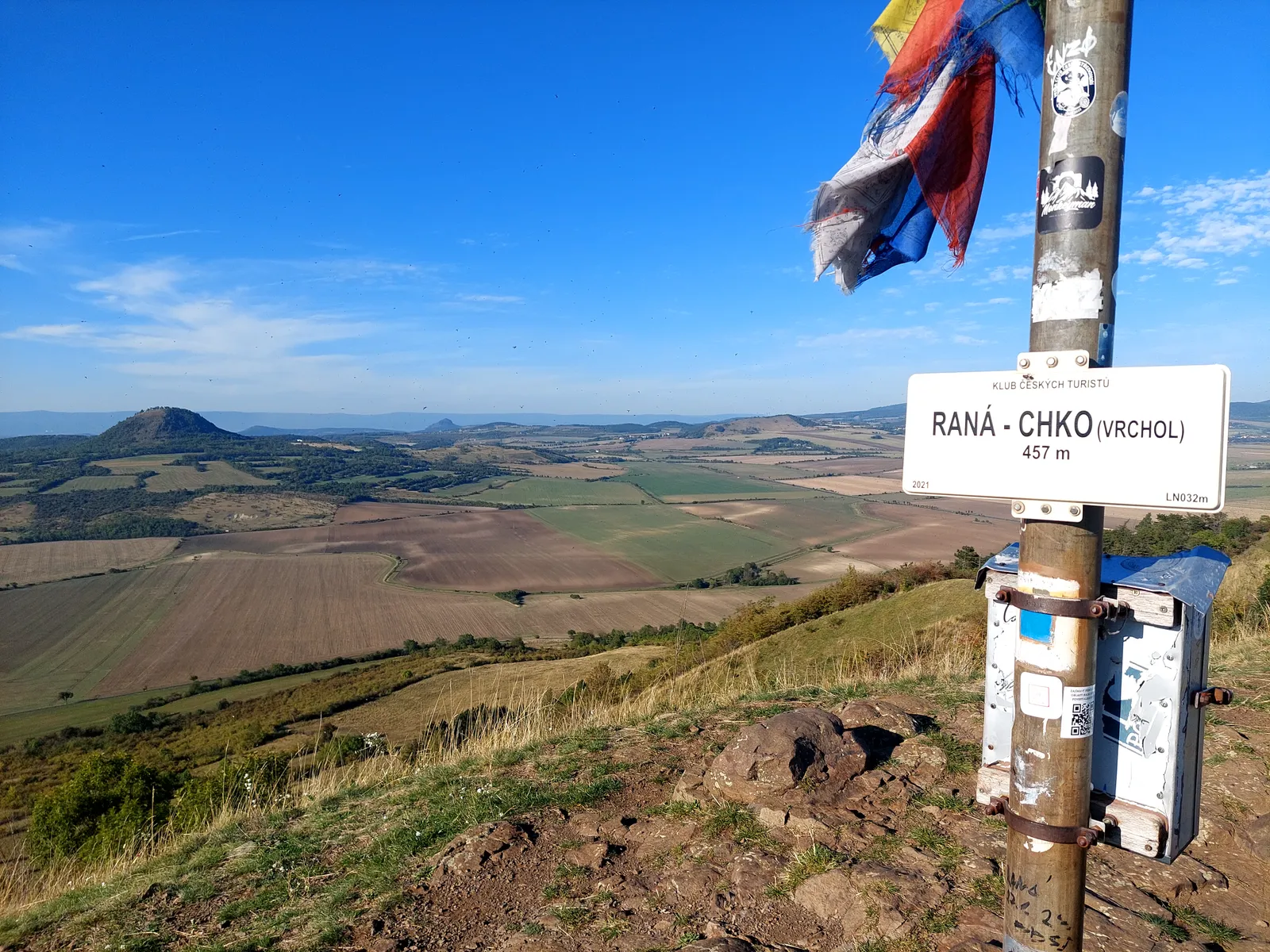
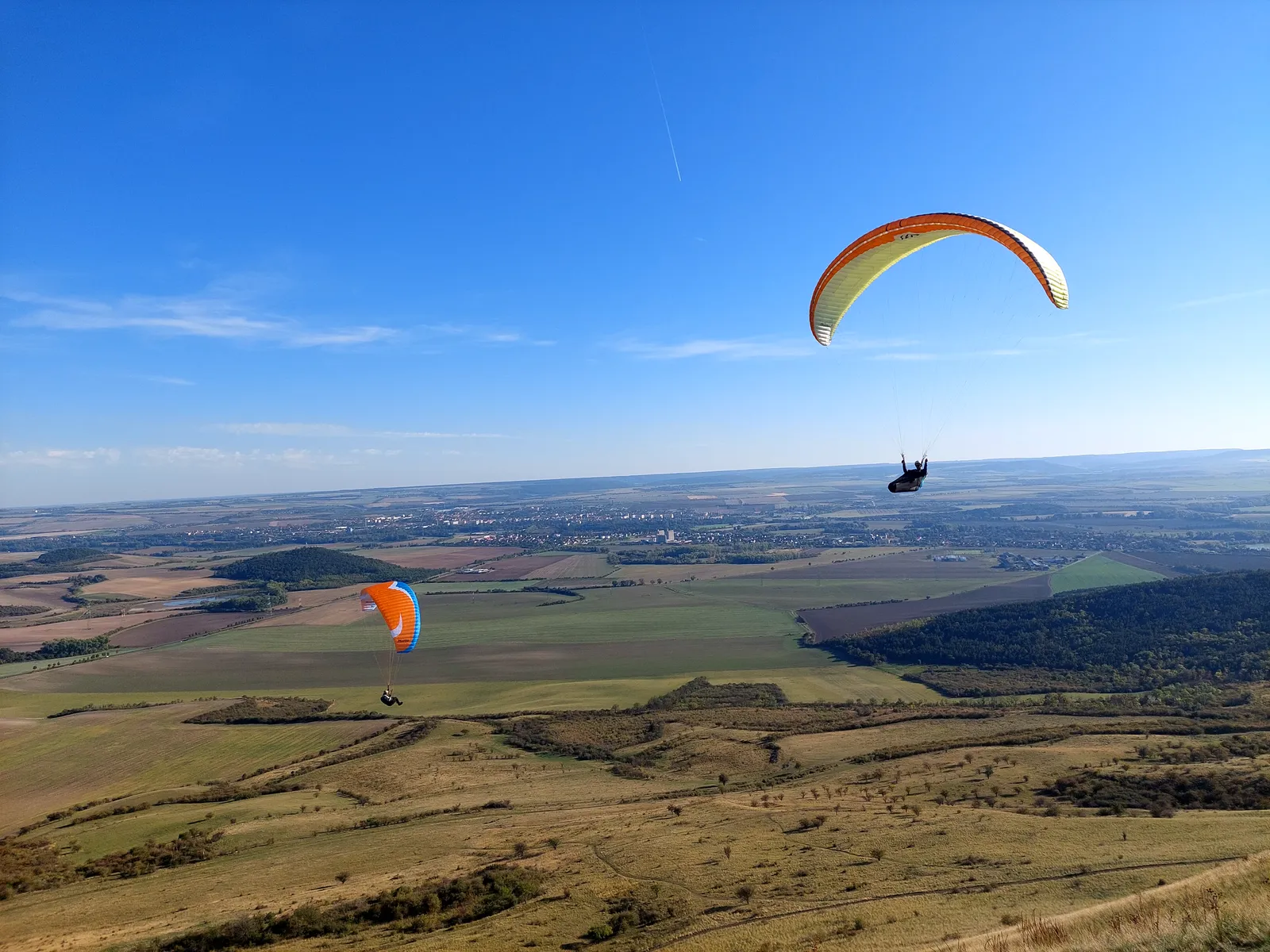
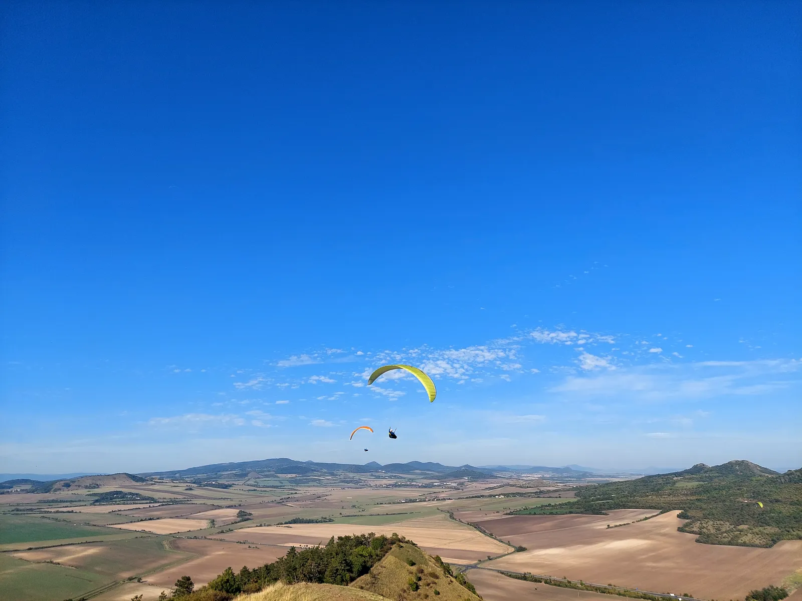
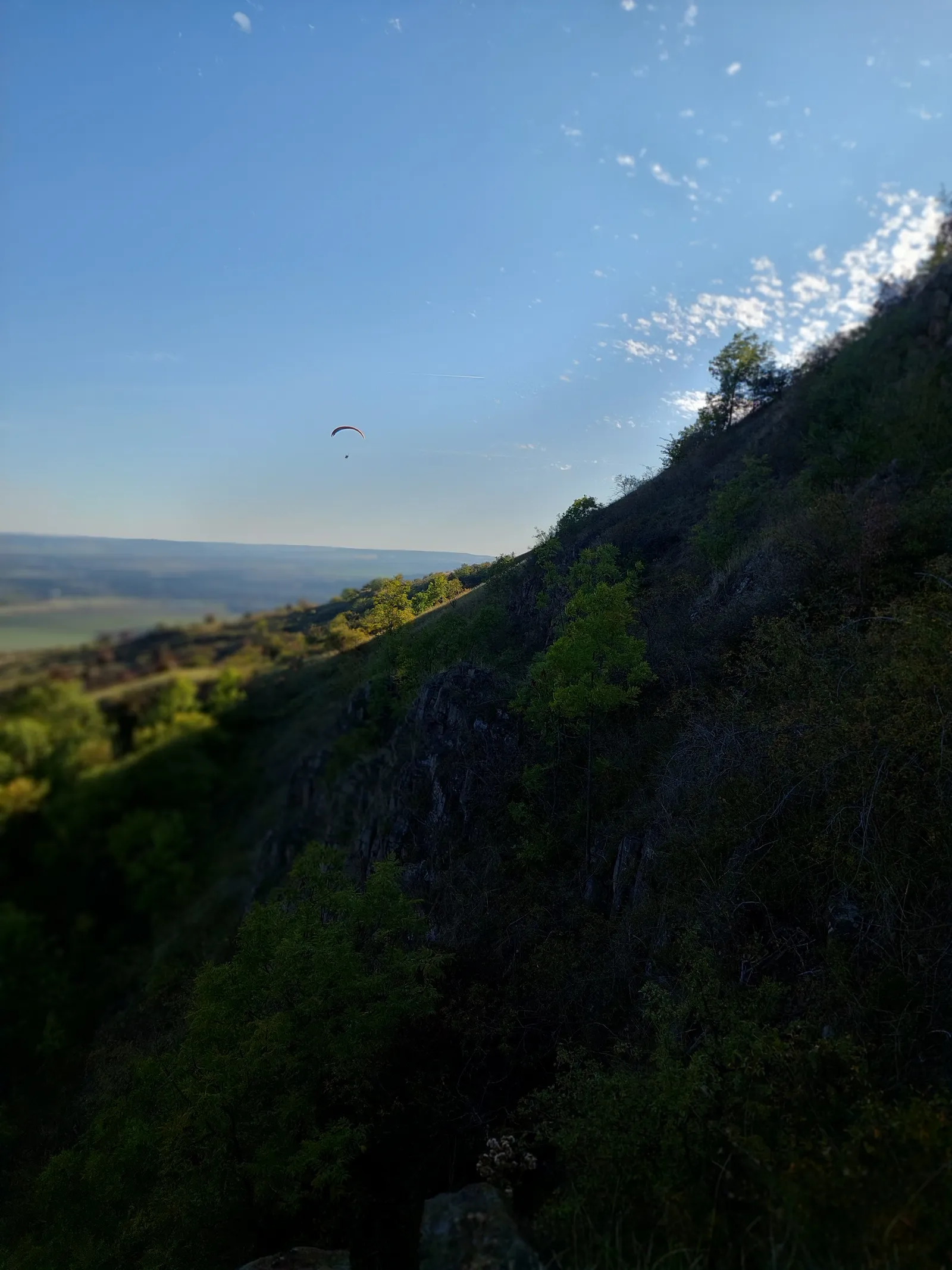
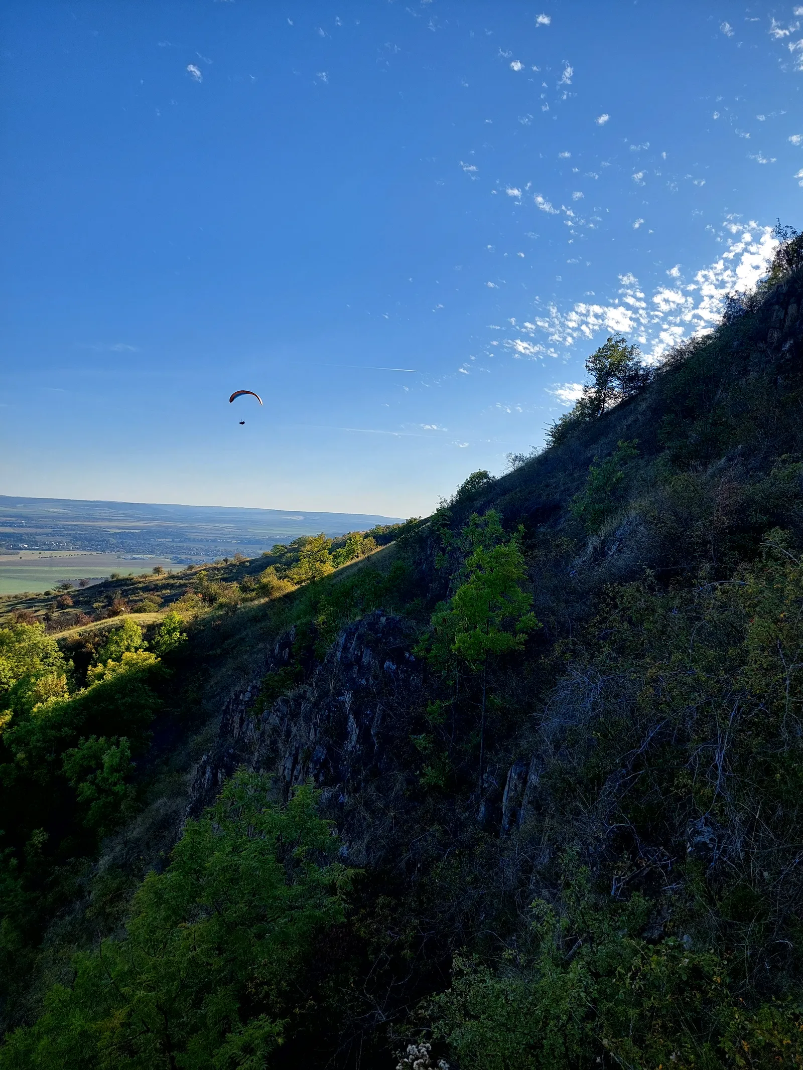
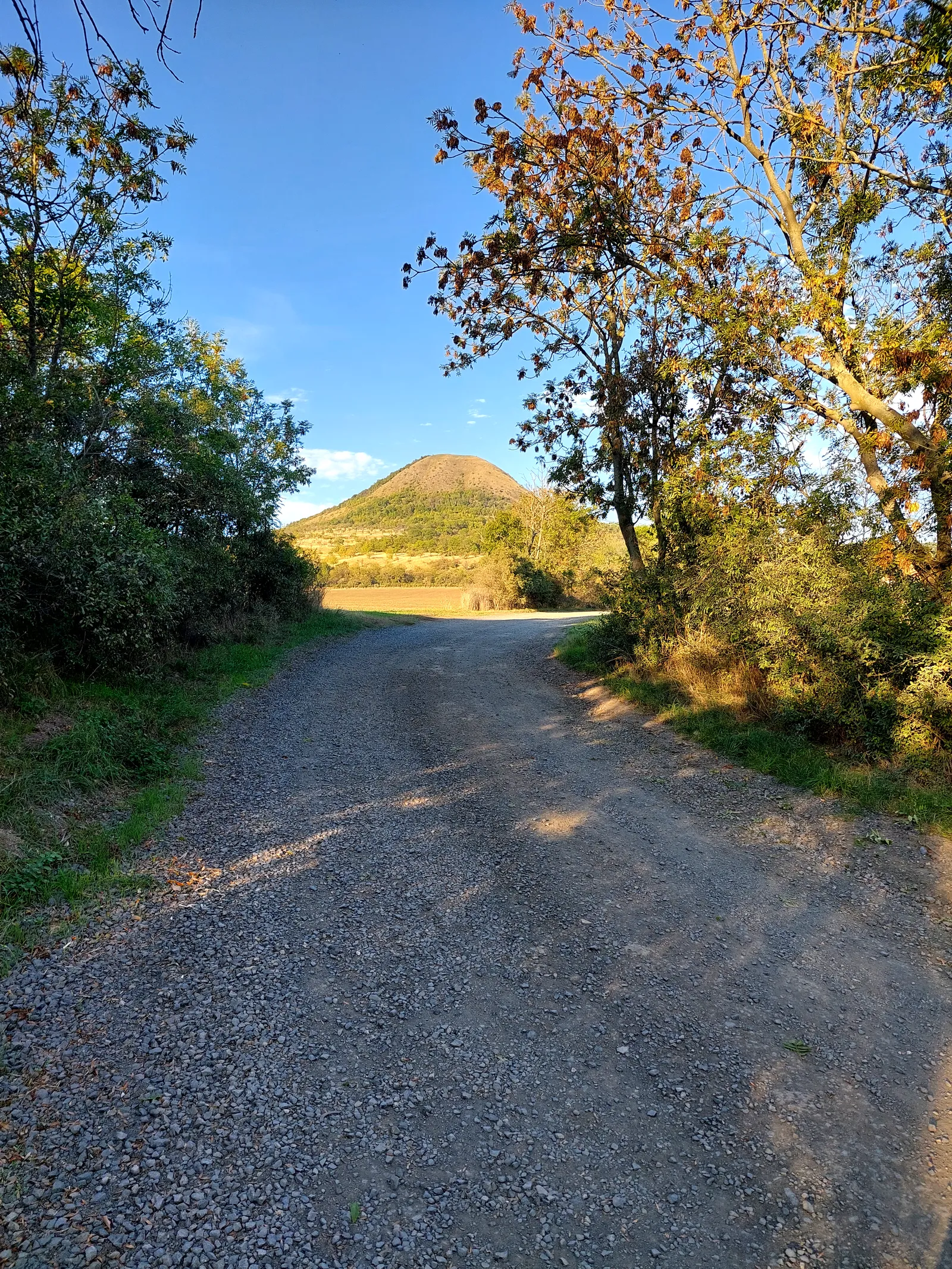
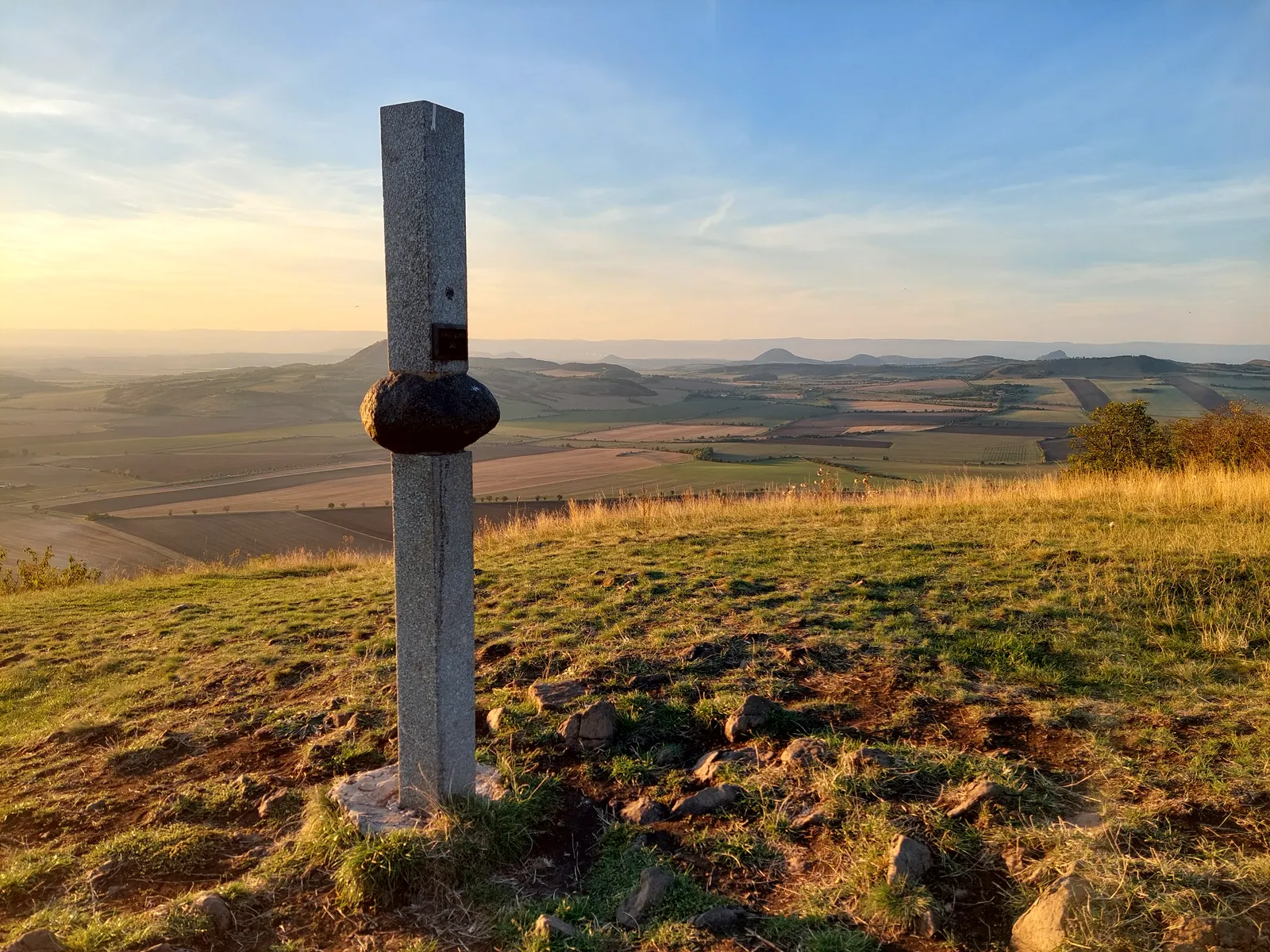
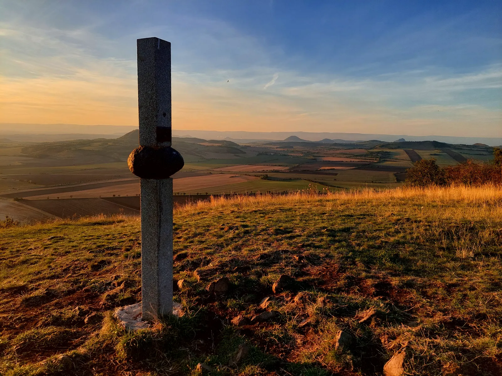
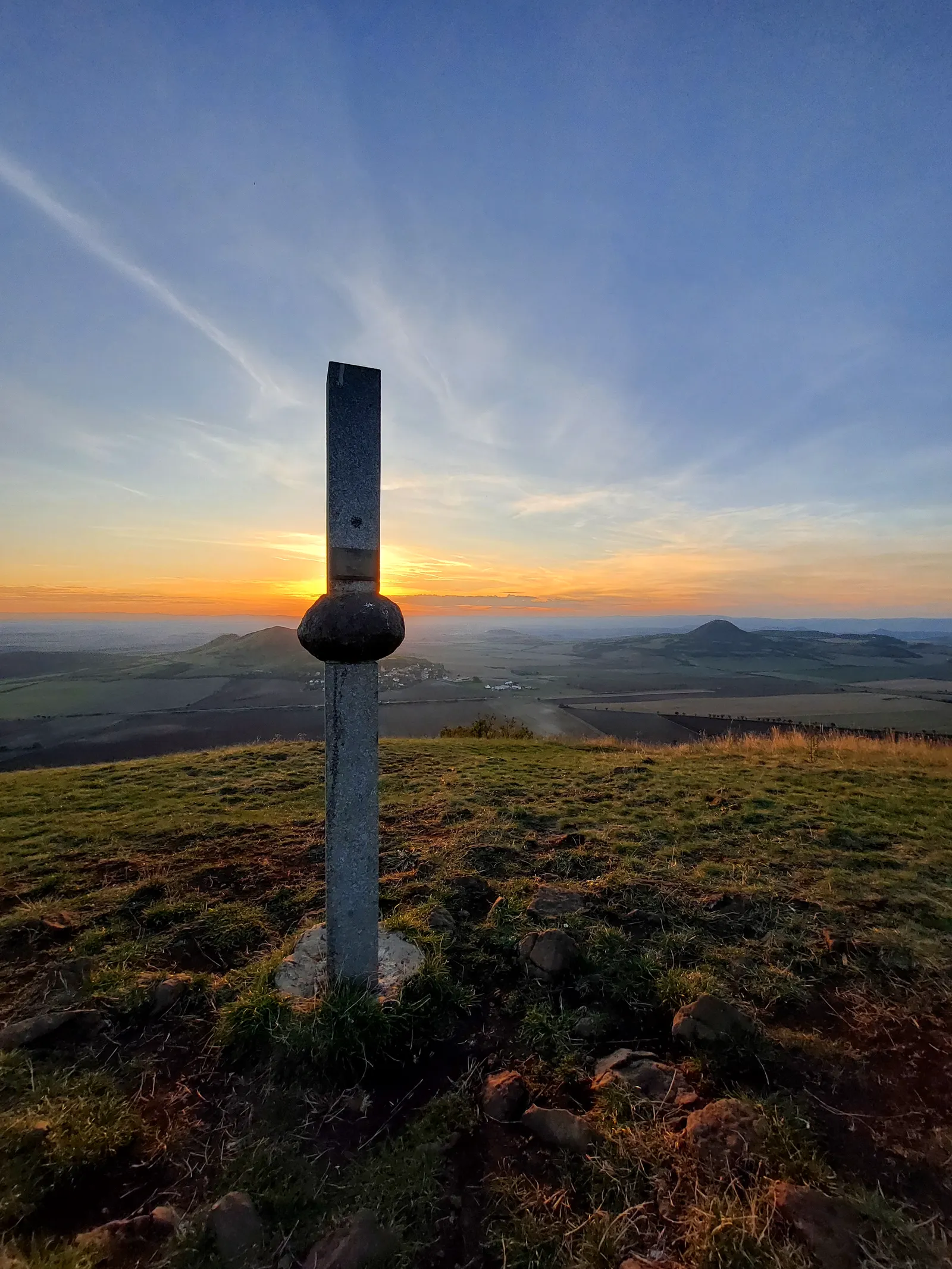
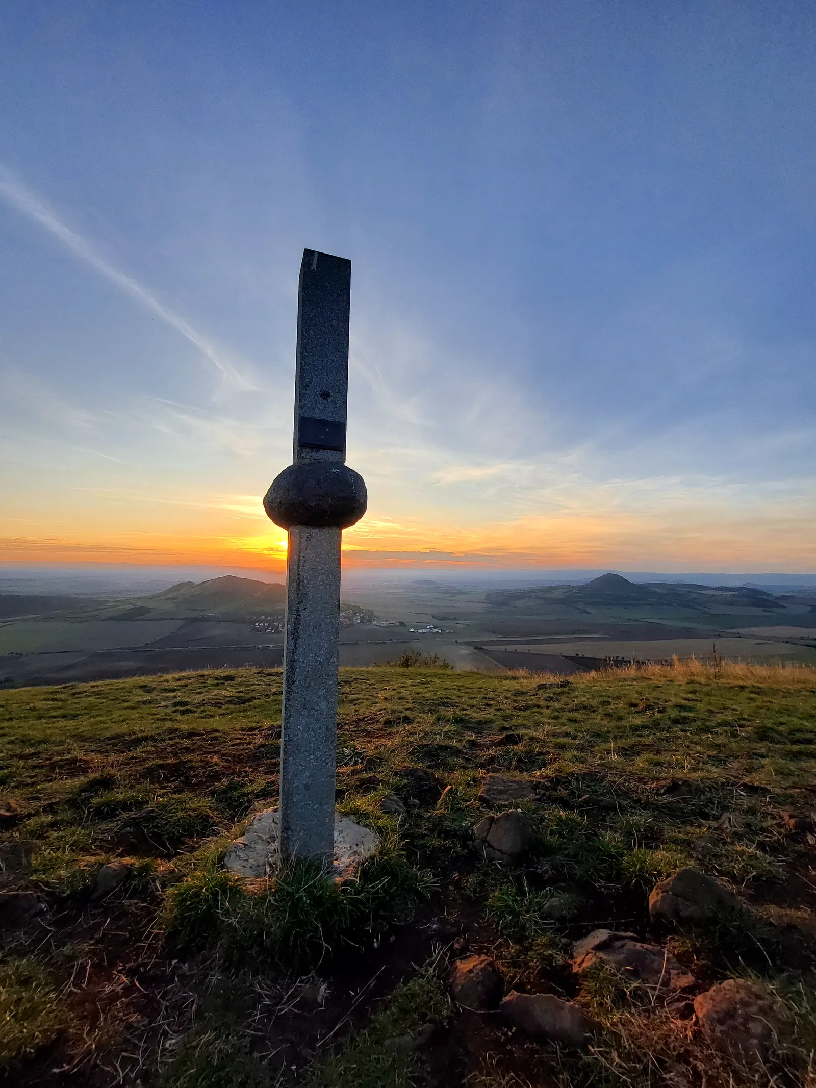
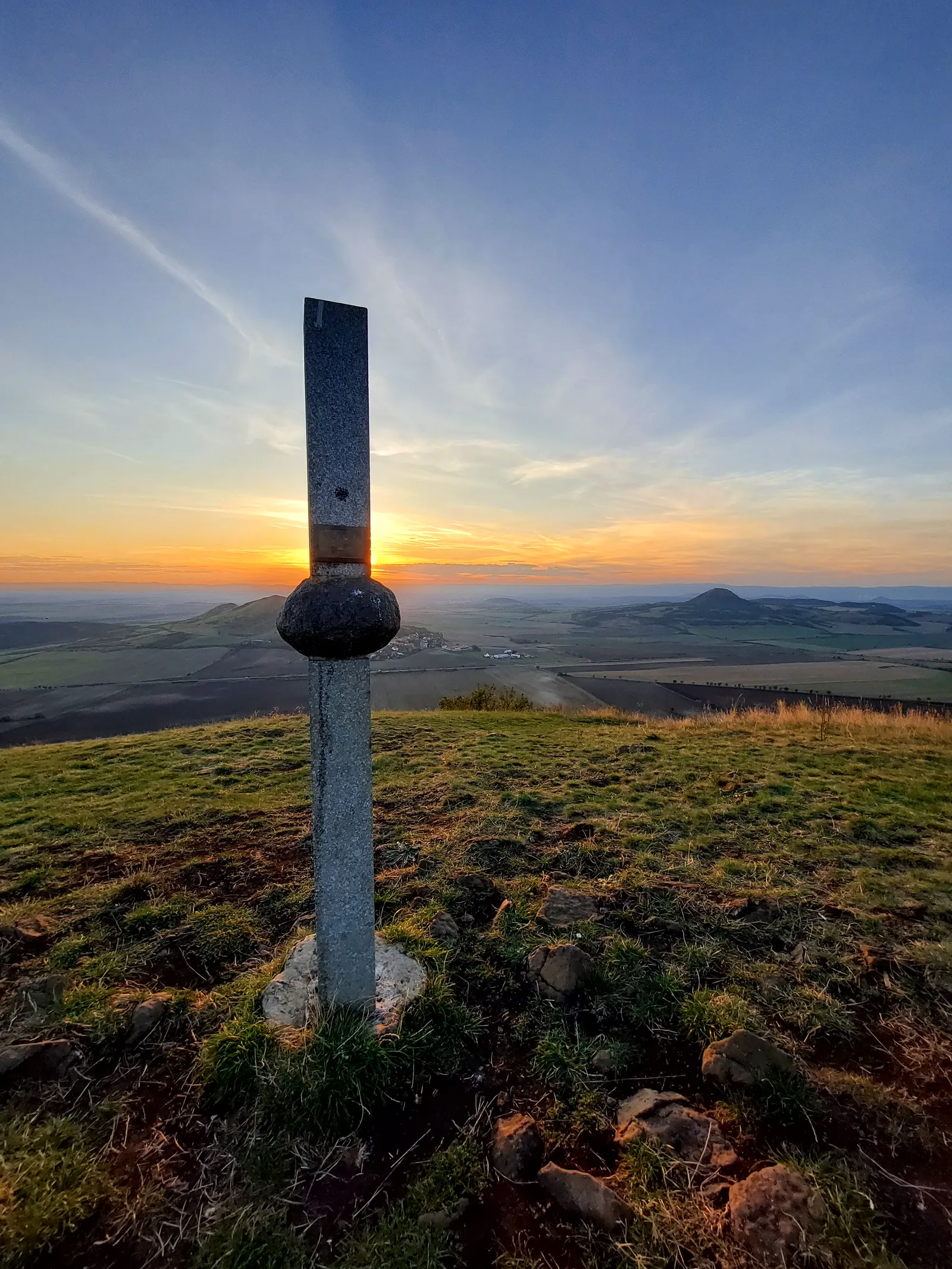
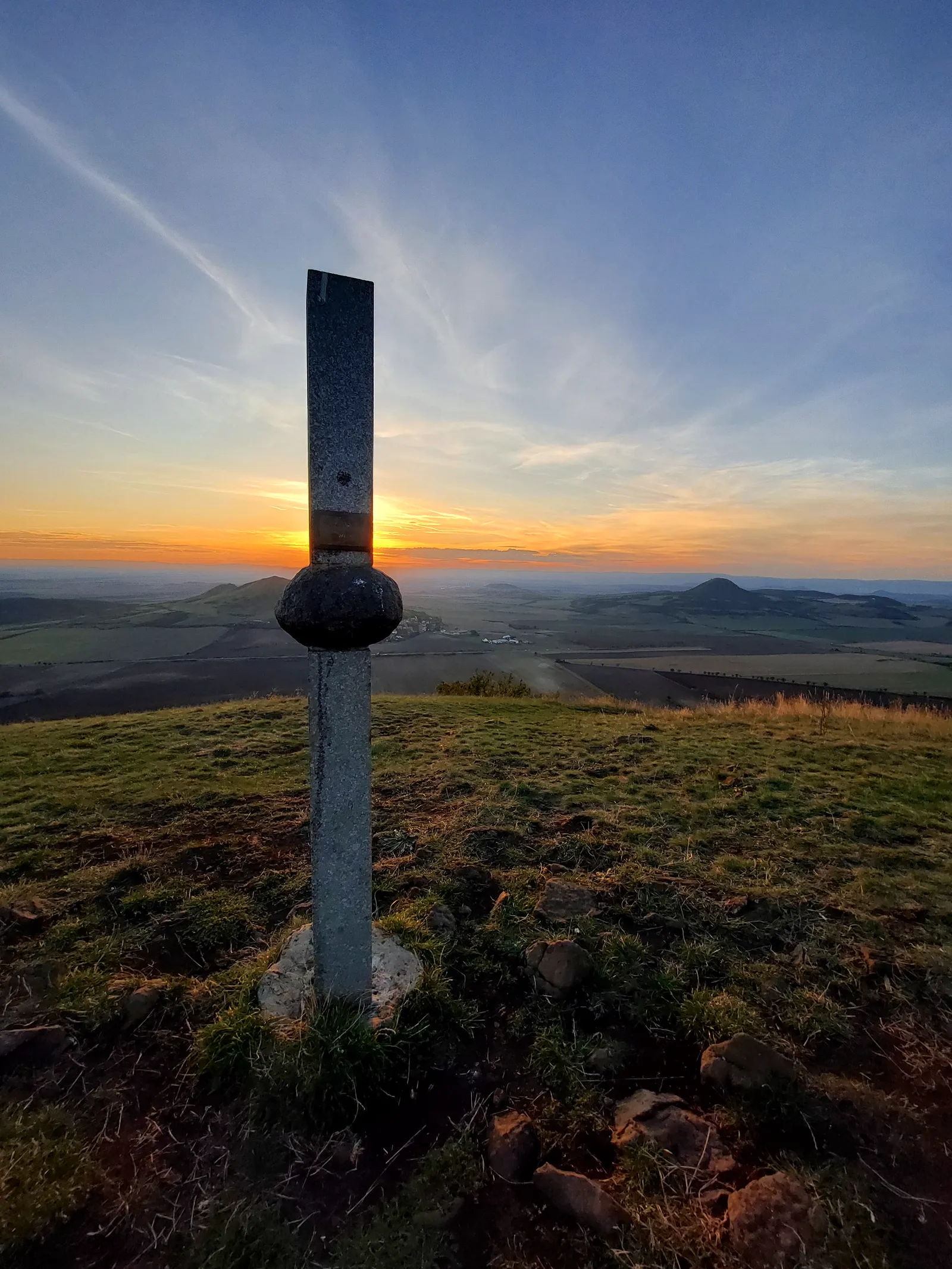
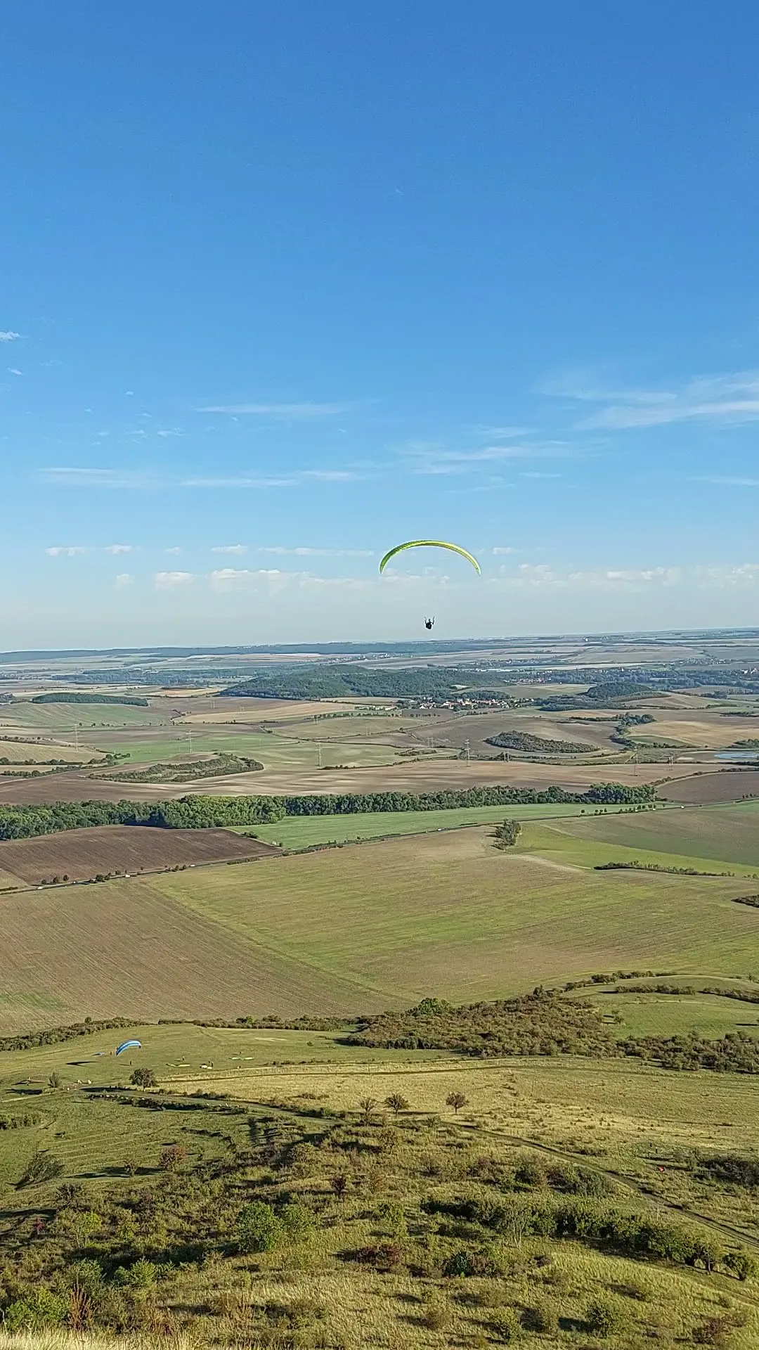
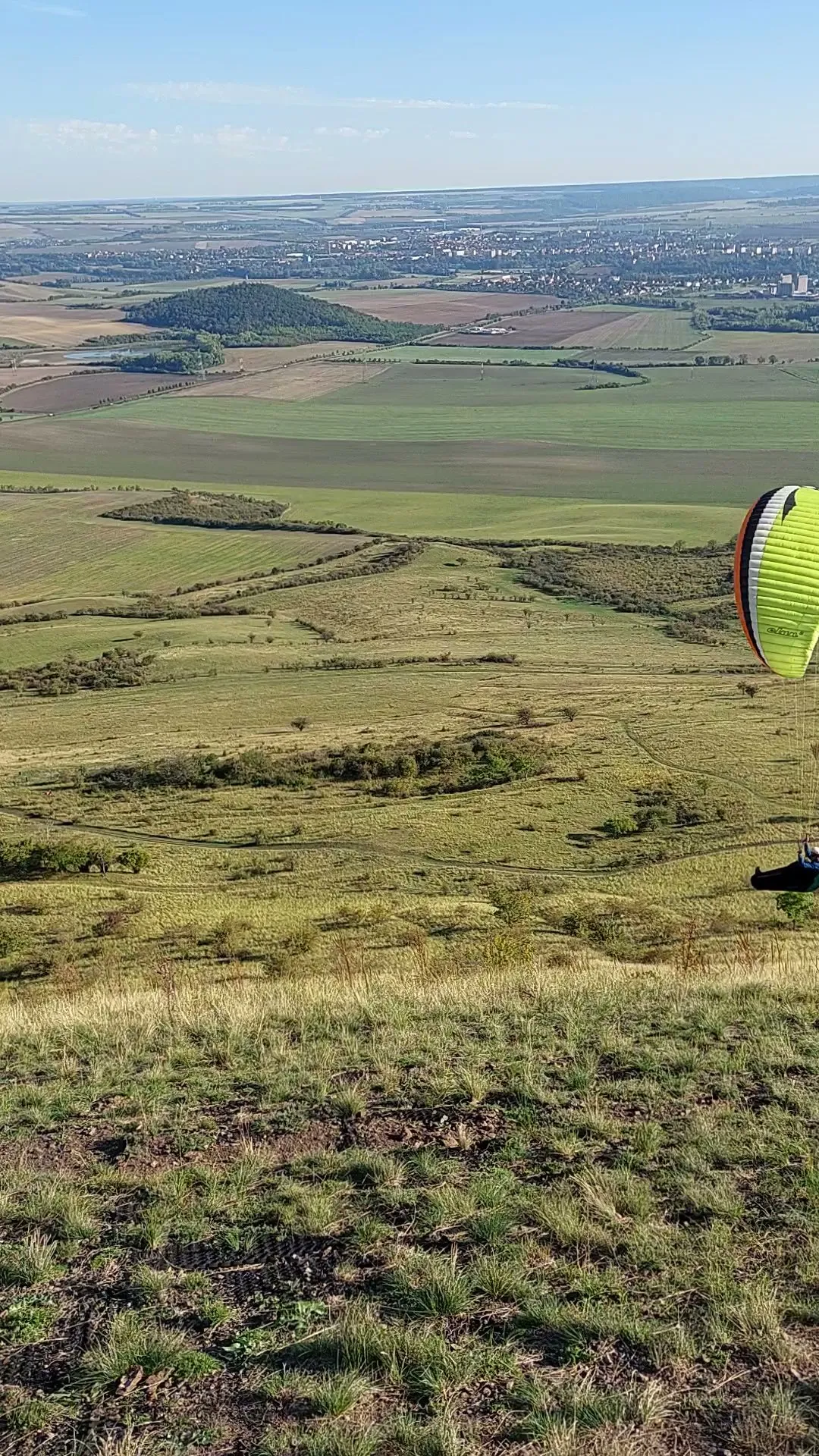
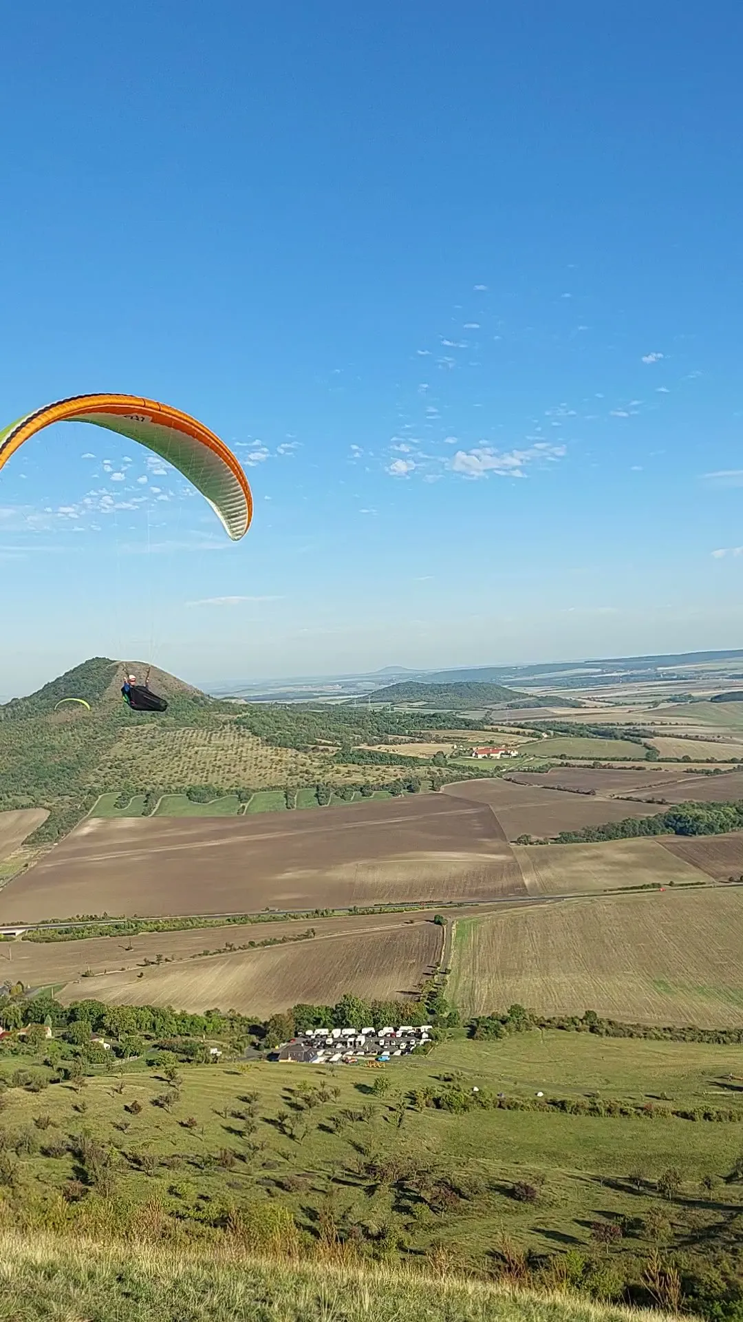
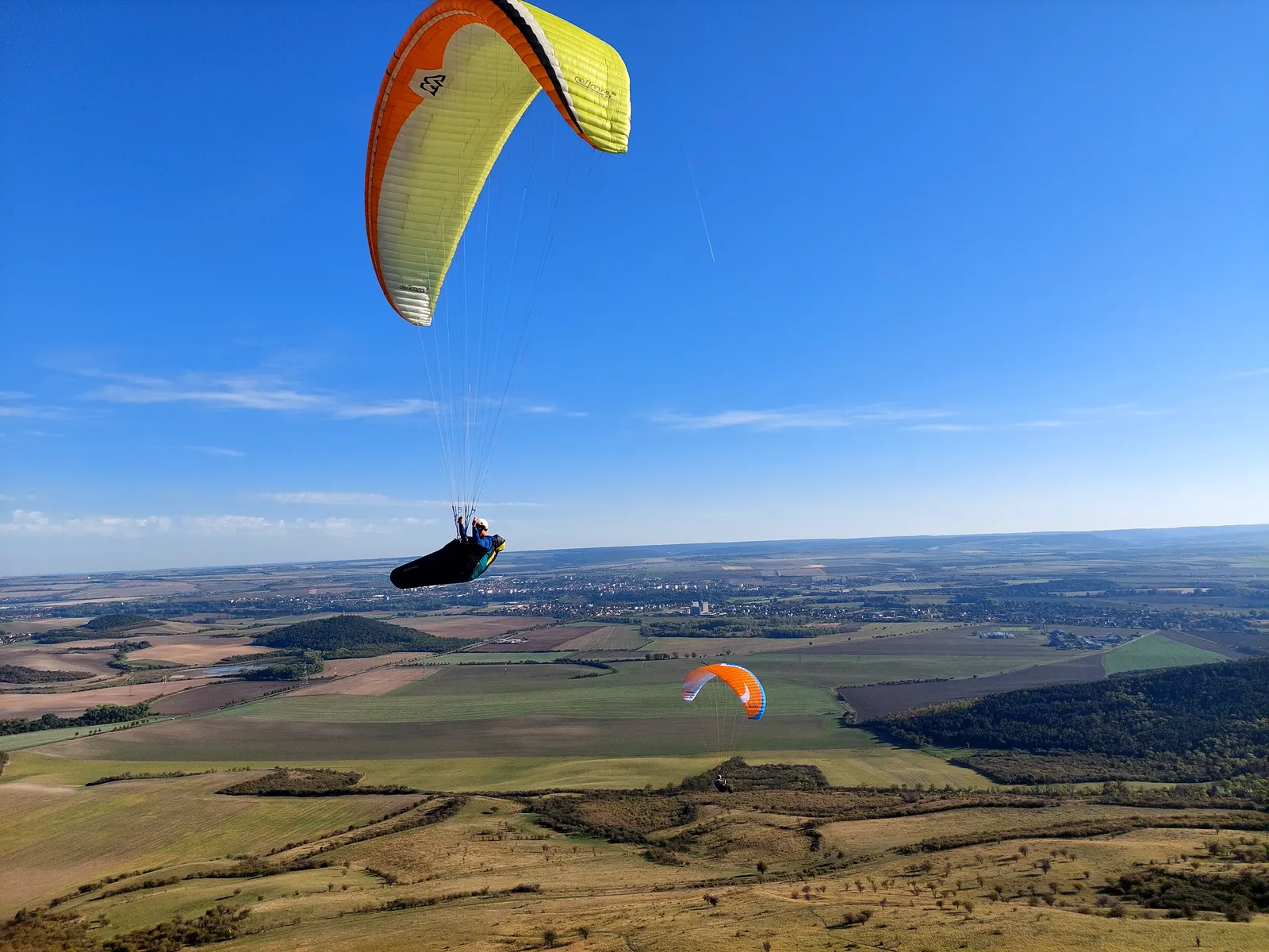
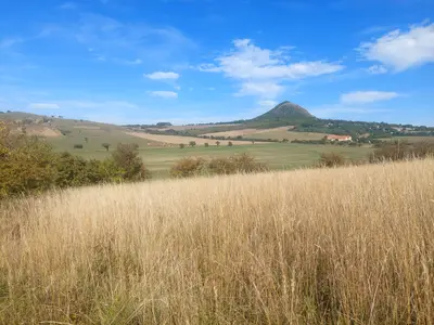
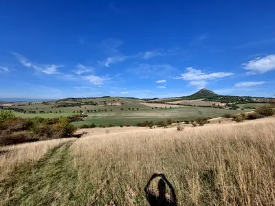
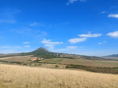
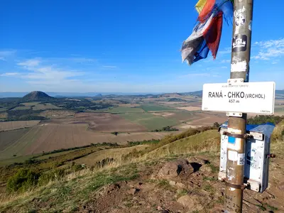
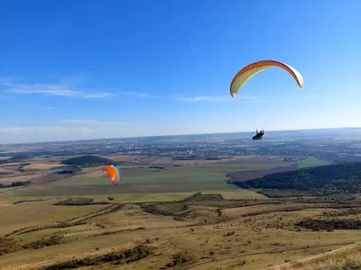
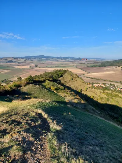
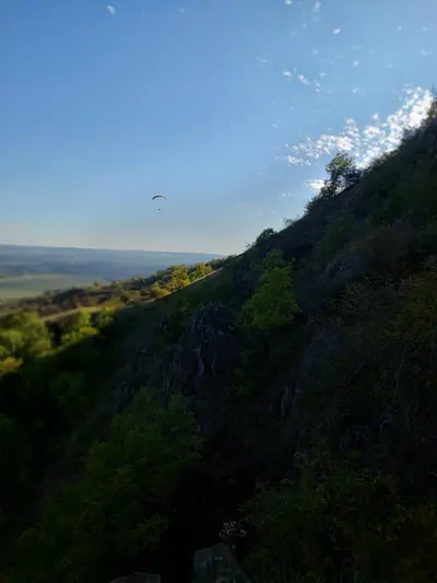
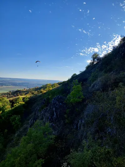
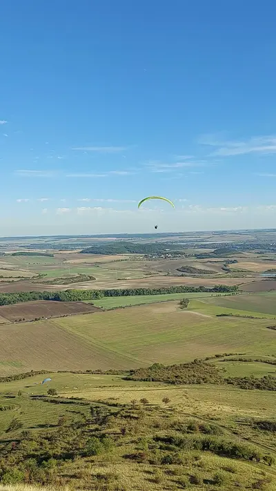
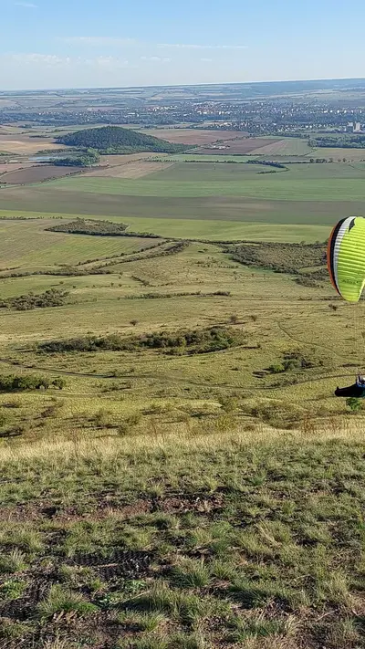
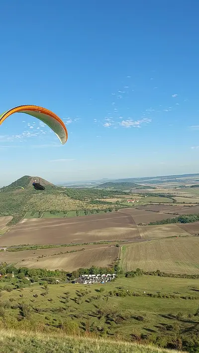
From Bečov u Mostu the route goes first to Písečný vrch. On the map it looks like nothing, a bump of some 300 metres. It is the oldest stone quarry in Europe, worked by toolmakers for hundreds of thousands of years, and you see much further from it than its size suggests. Then comes Raná. Its ridge is the historic cradle of Czech gliding, and you can watch paragliders launch and fly from close by.
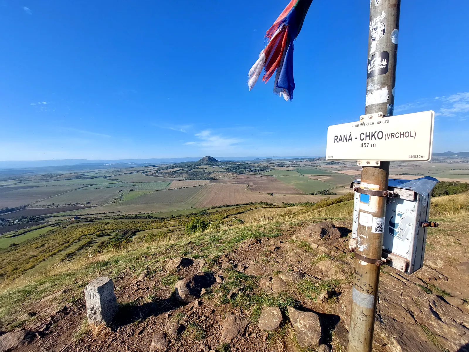
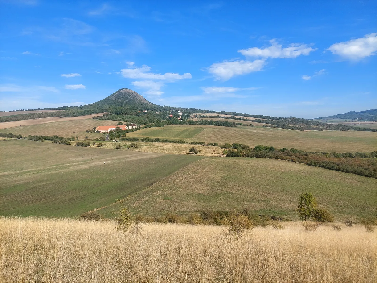
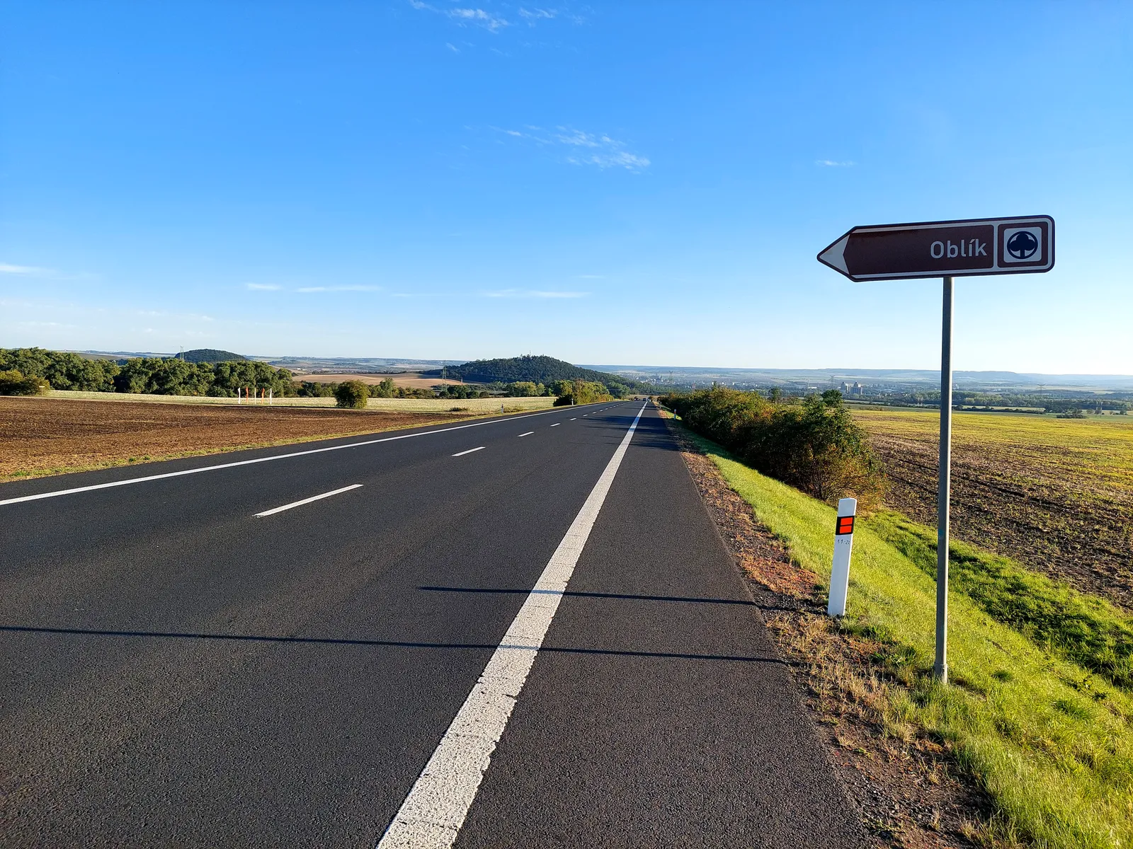
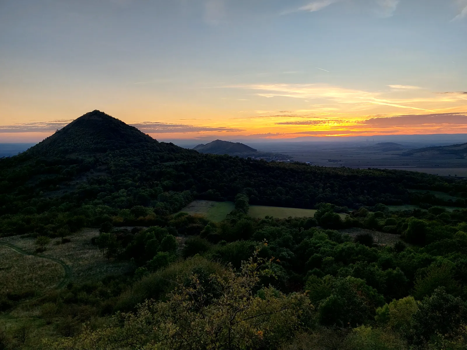
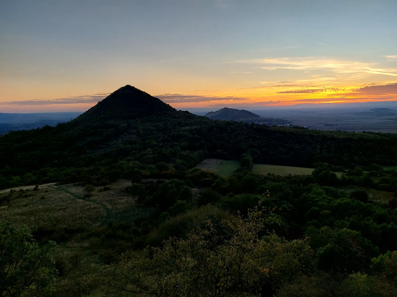
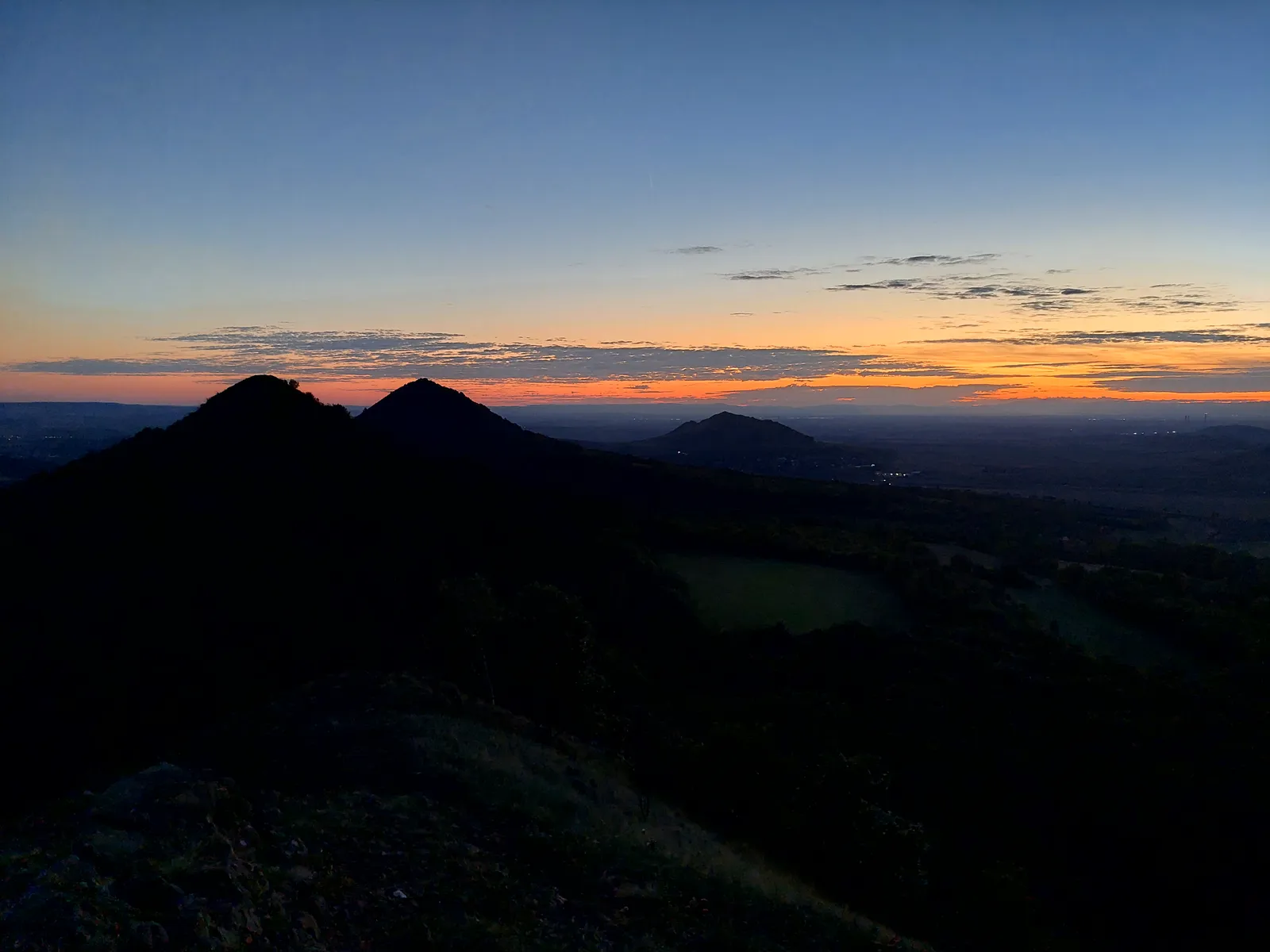
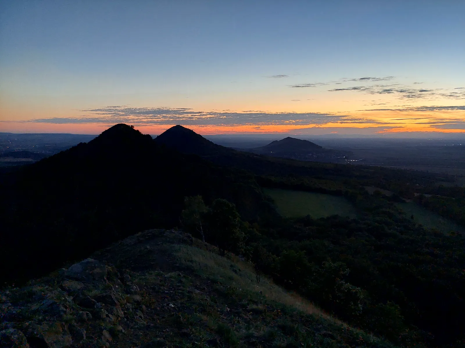
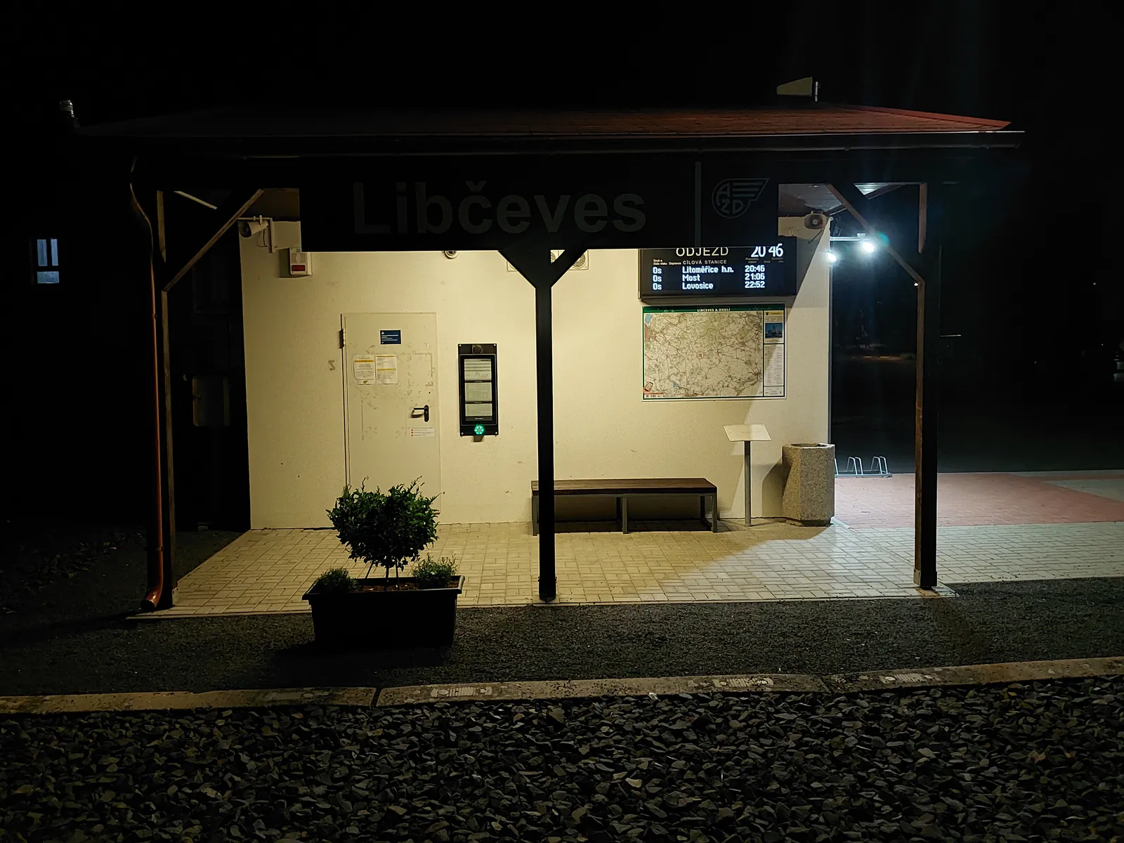
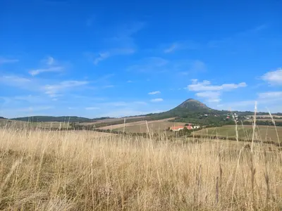
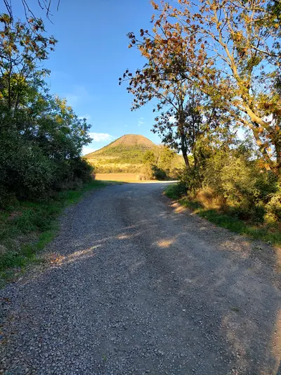
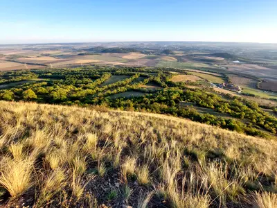
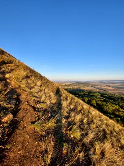
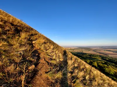
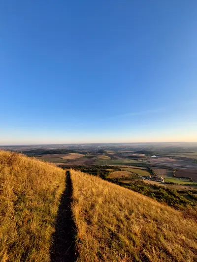
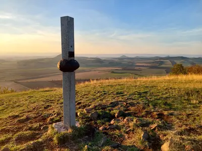
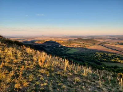
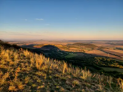
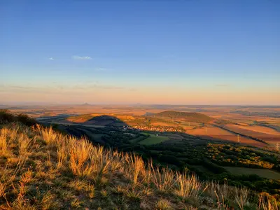
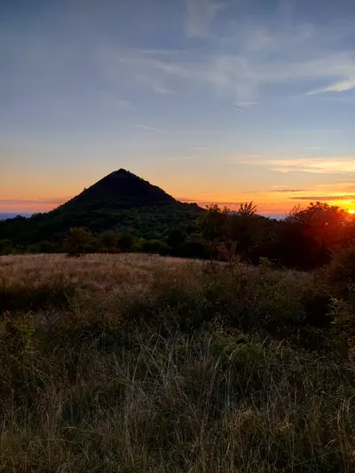
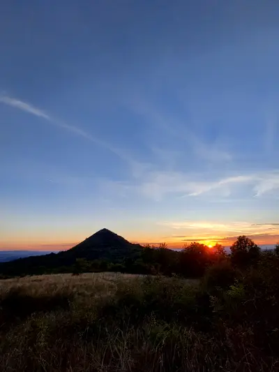
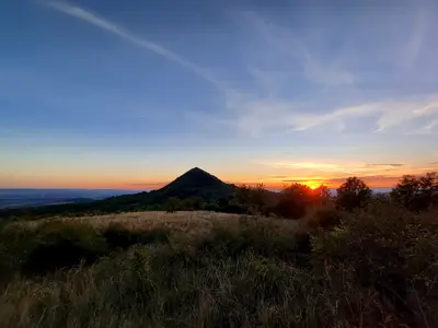
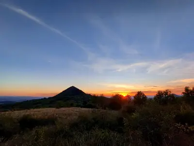
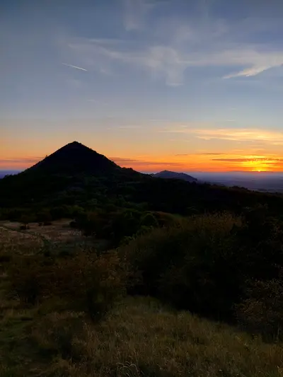
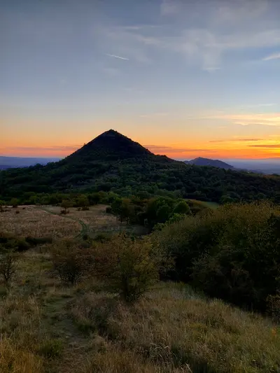
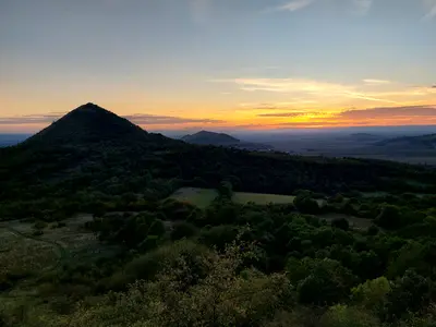
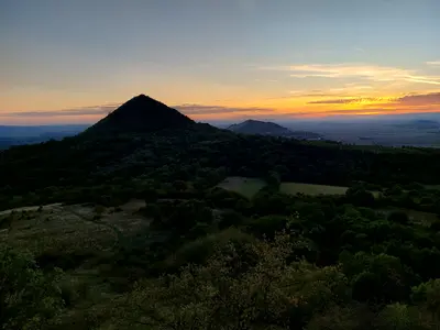
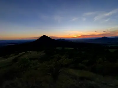
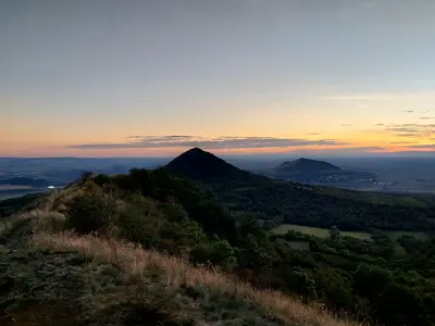
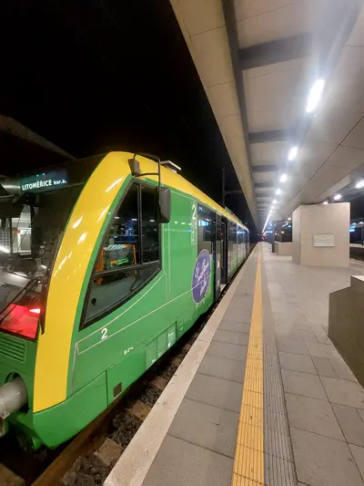
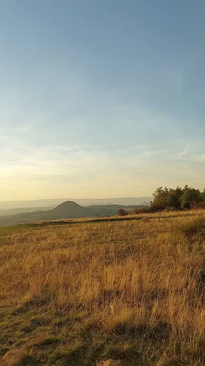
The second half follows the line of cones. Oblík comes first, with the steepest climb of the route, straight up the grass to the 509 m summit. Then come the two lower hills, Srdov and Brník, each with a similar wide view. The route ends with a descent to Libčeves, where the train runs via Lovosice back to Prague.
Practical info
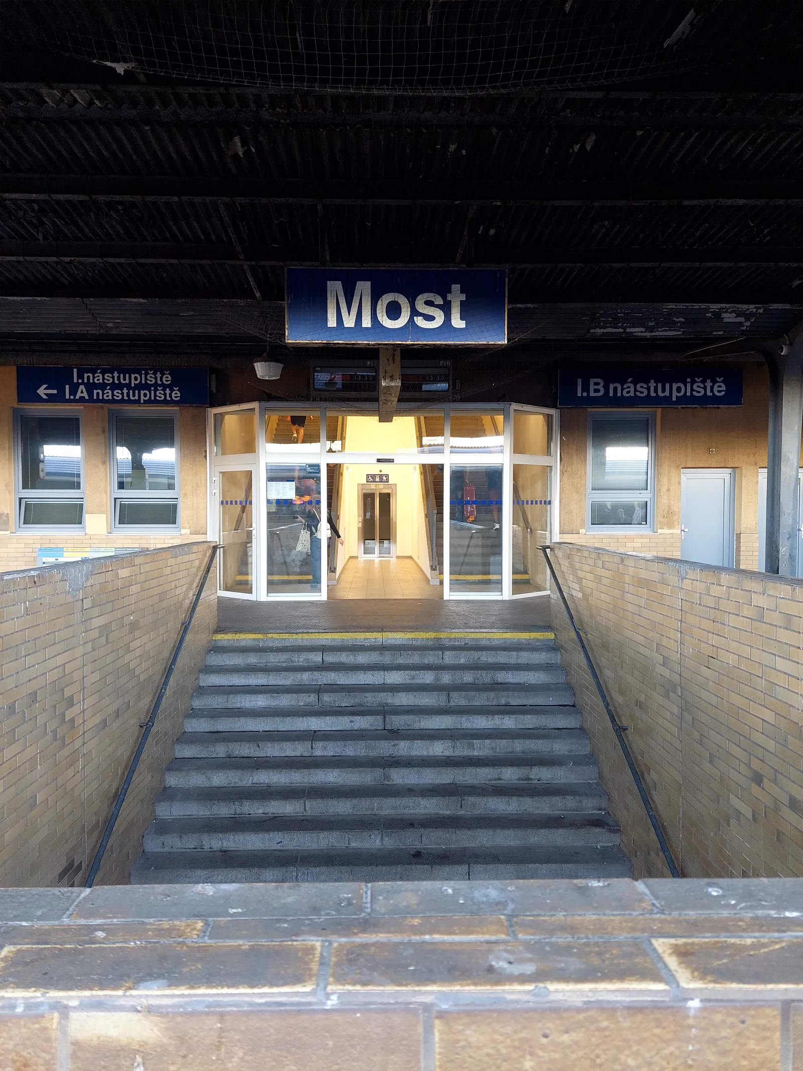
| Start | Bečov u Mostu railway station, by train |
|---|---|
| End | Libčeves railway station, by train |
| Terrain | forest path |
| Links | Open route on Mapy.com |
| GPX | Download track |
On the way
-
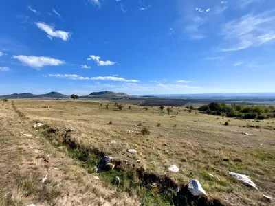
Písečný vrch
An unassuming 318 m rise near Bečov that hides the oldest stone quarry in Europe. Toolmakers came here for its quartzite for hundreds of thousands of years.
-
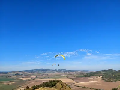
Raná
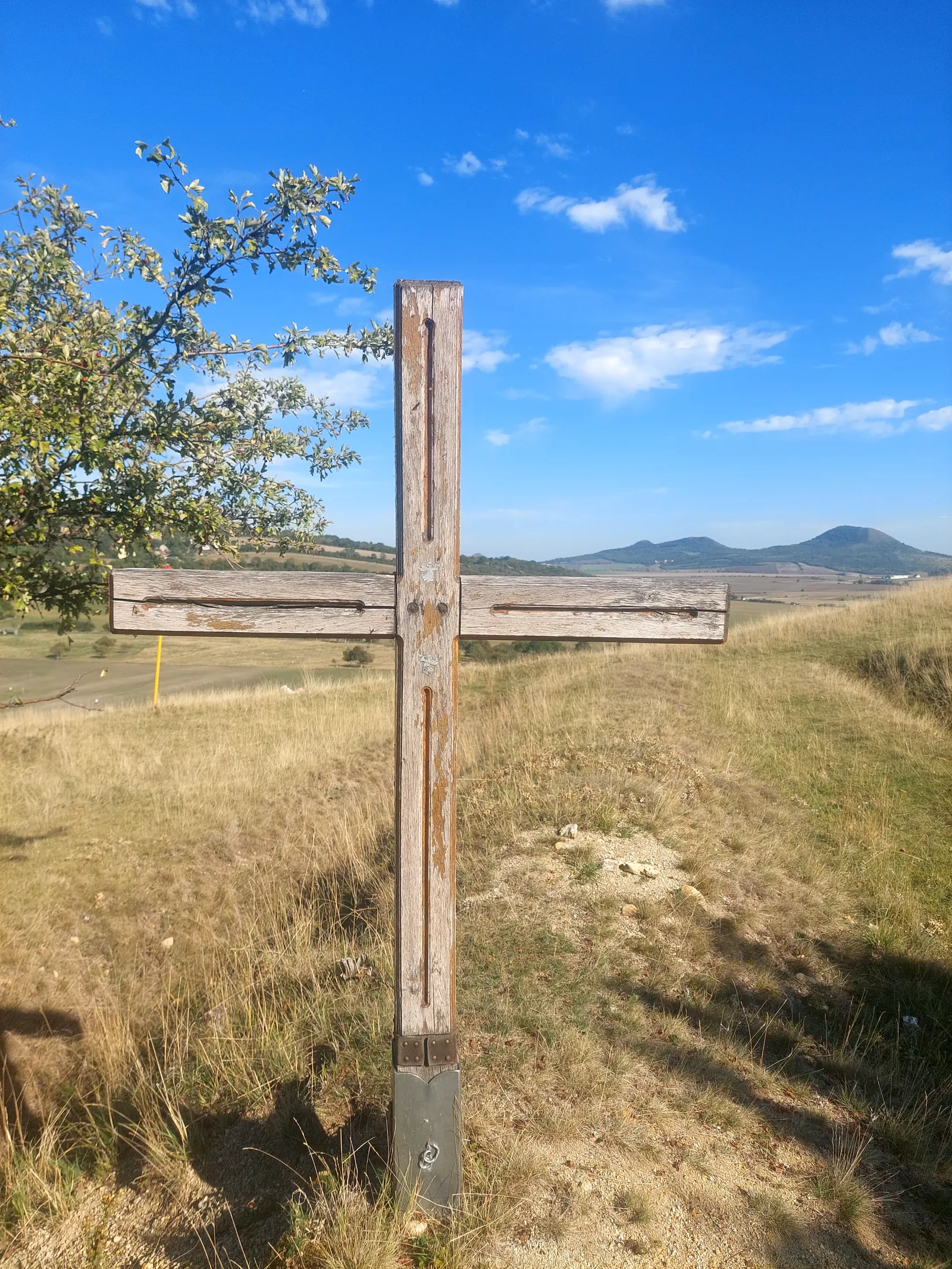
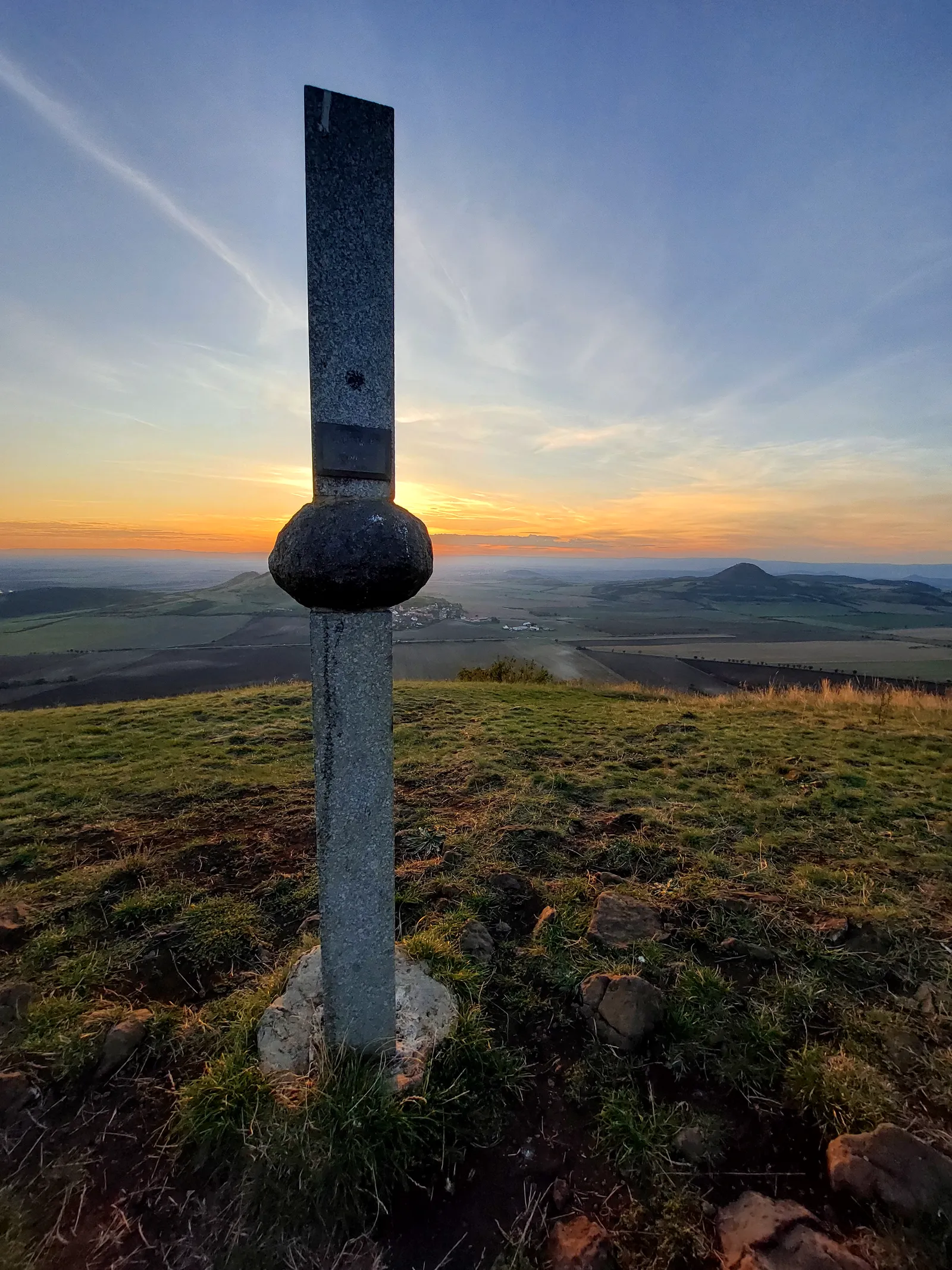
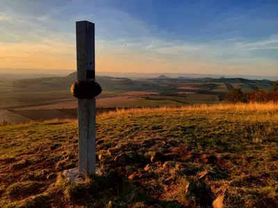
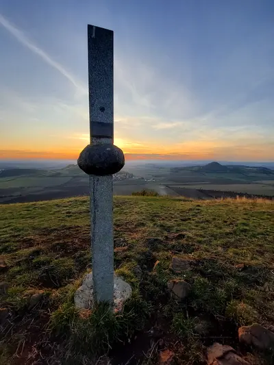
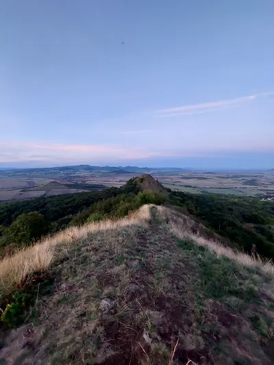
A bare three-topped steppe ridge of 457 m. It is a national nature reserve with a ground-squirrel colony and the historic cradle of Czech gliding, its slopes still full of paragliders.
-
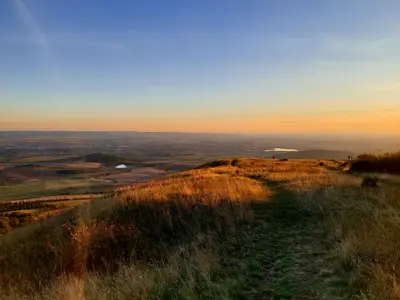
Oblík
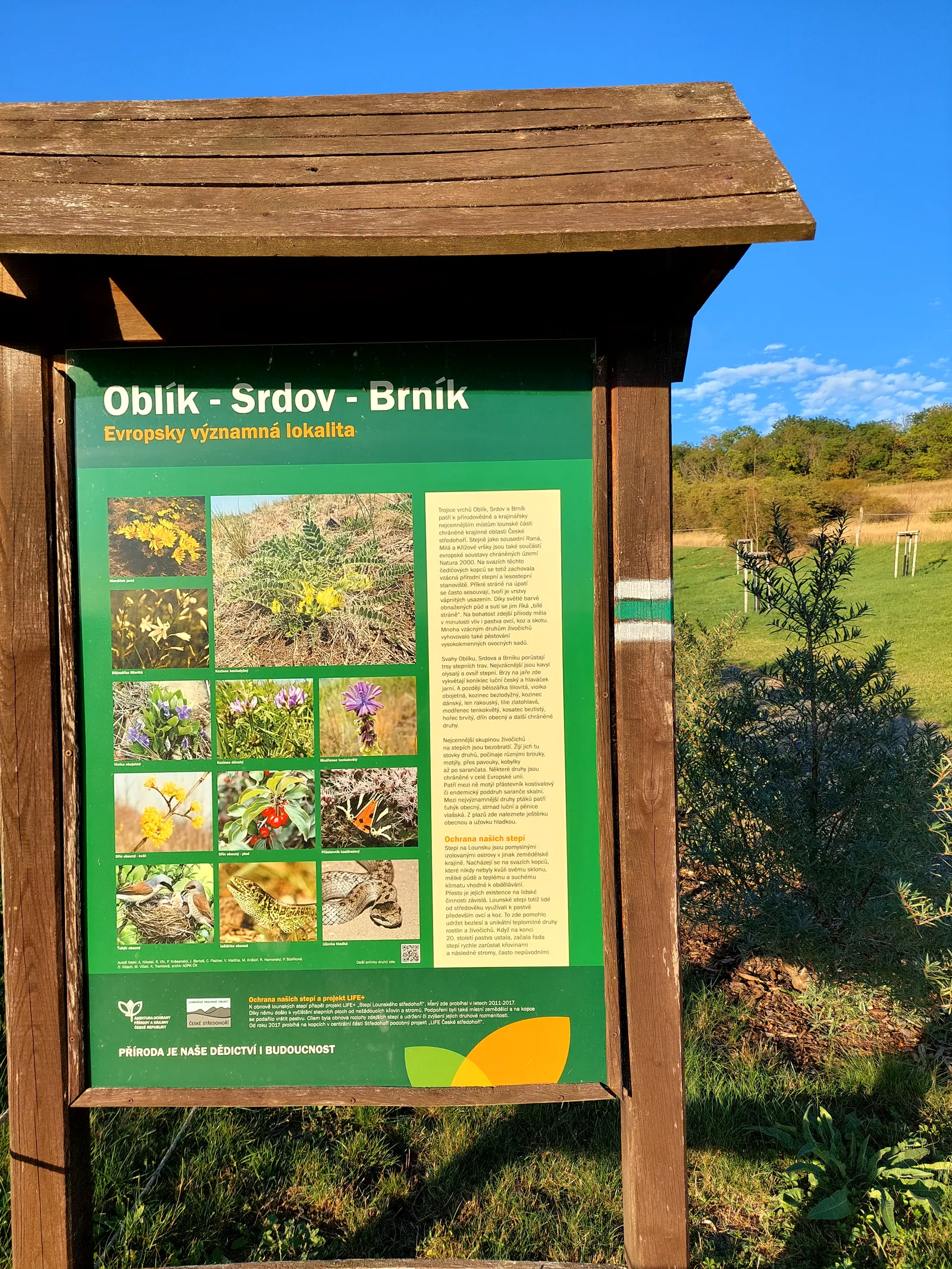
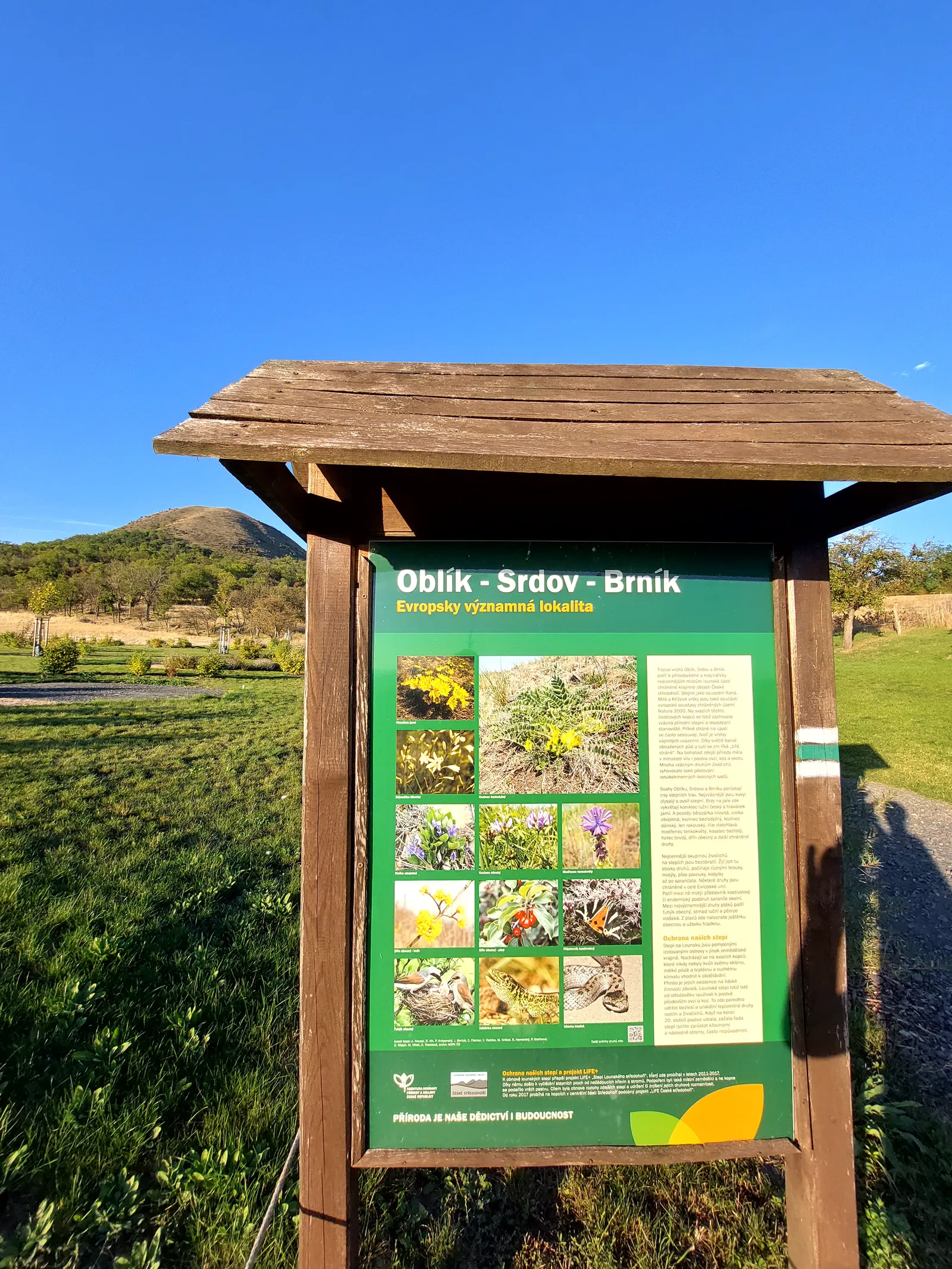
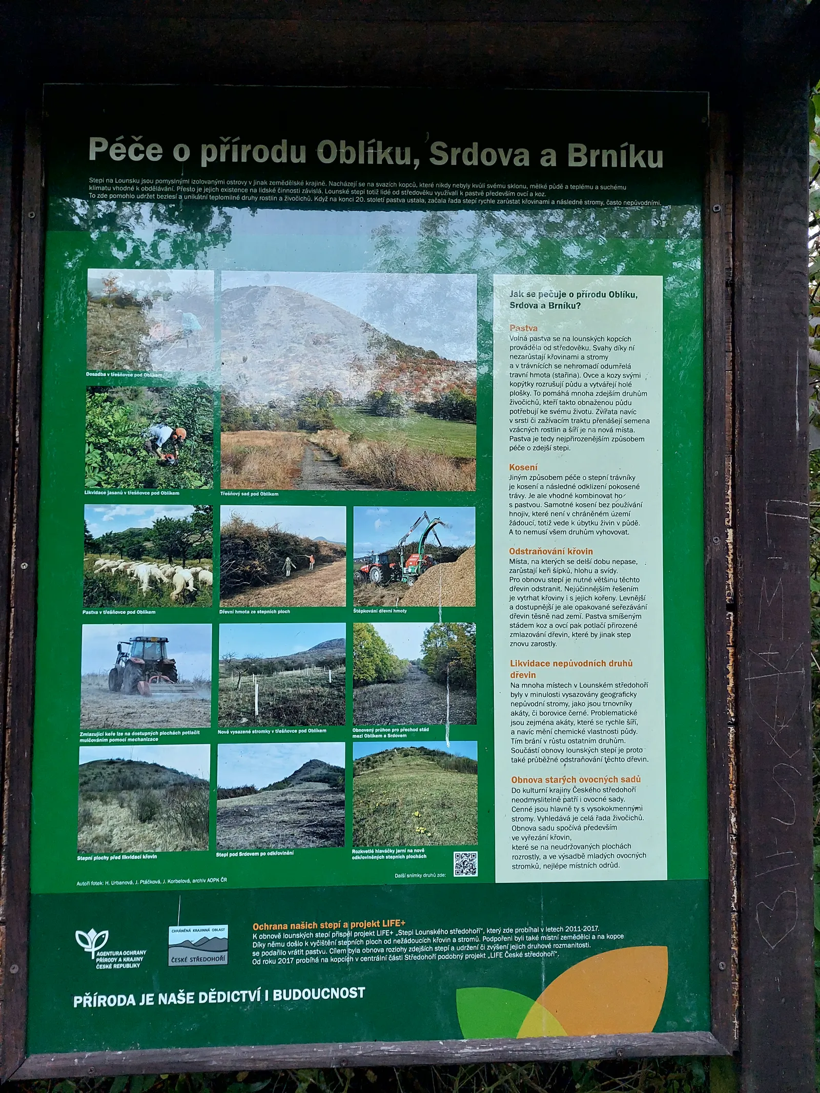
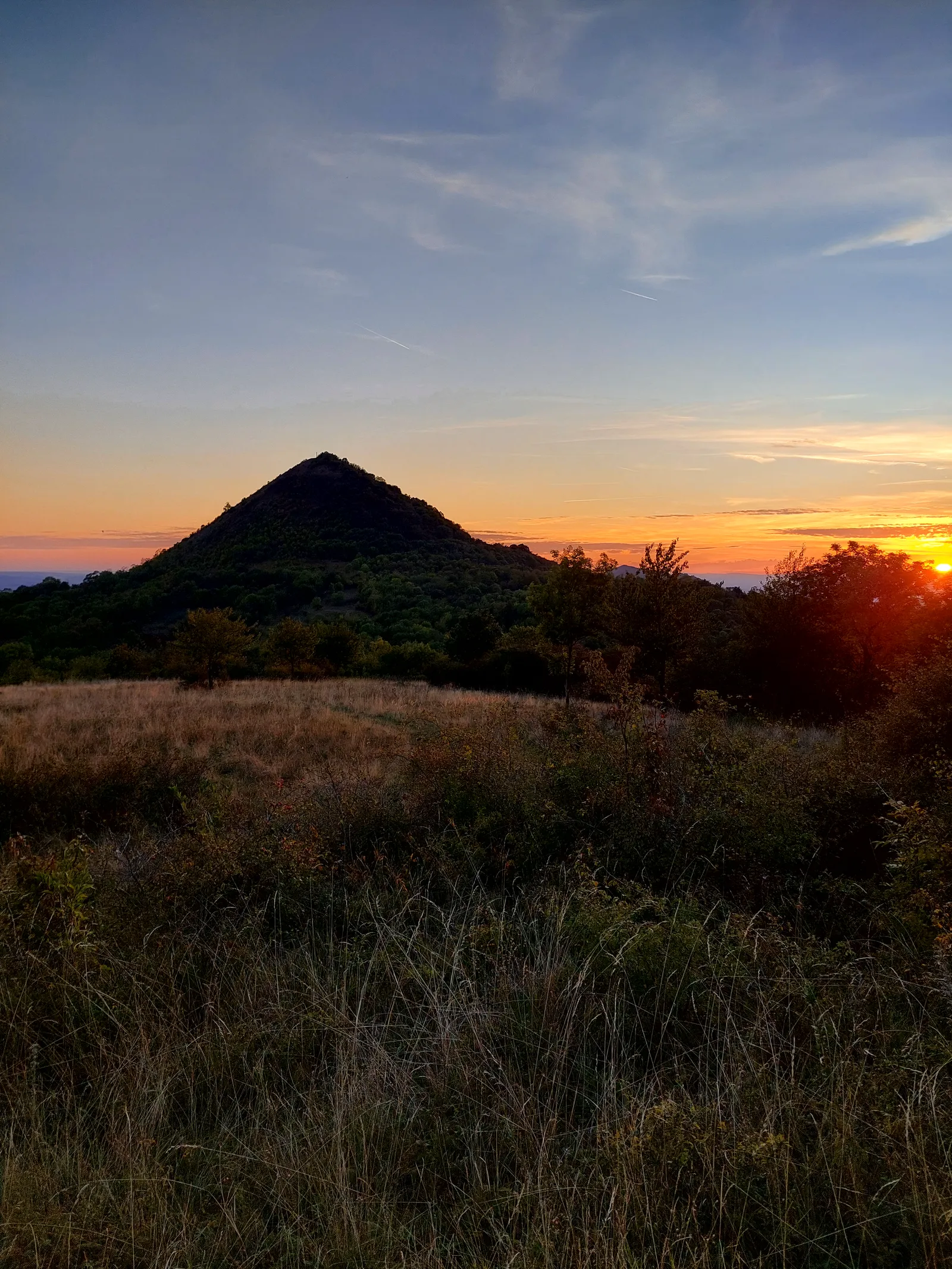
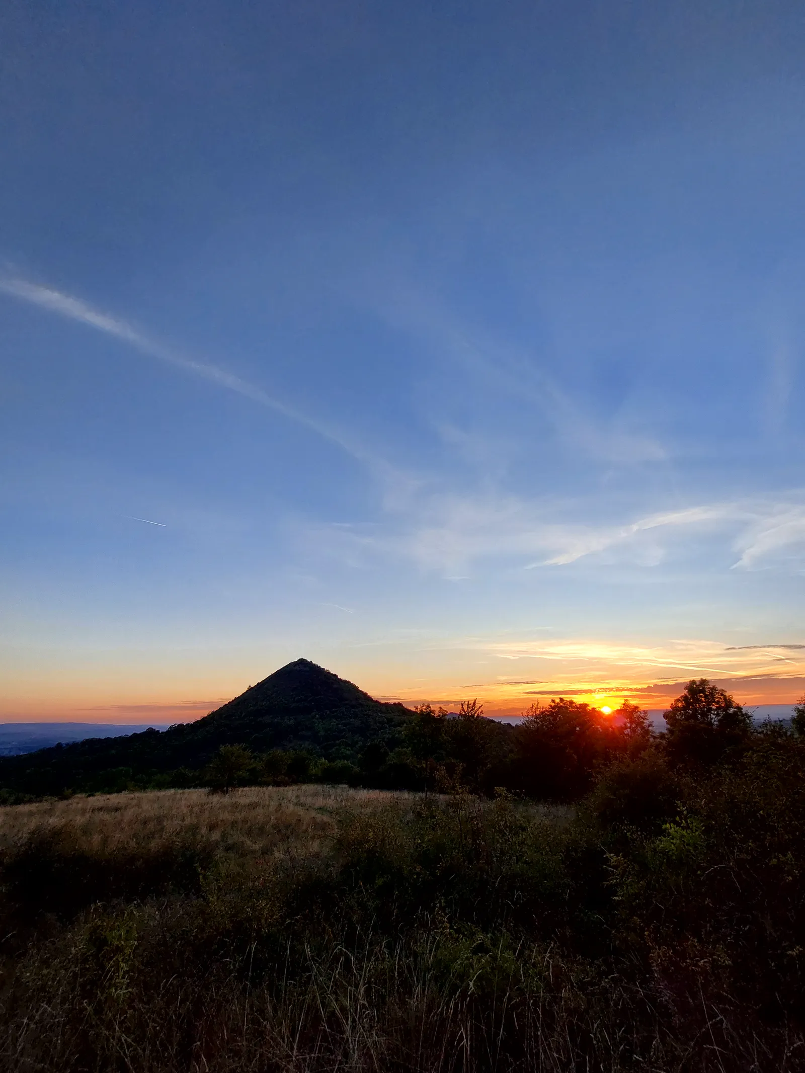
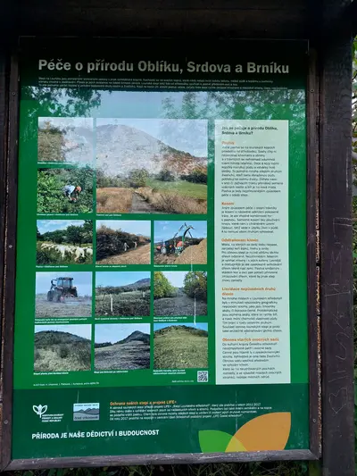
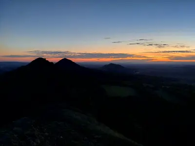
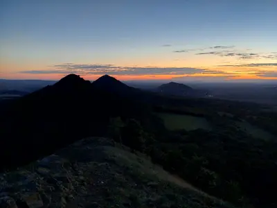
The textbook steppe cone of the Lounské středohoří, 509 m and a national nature reserve. Srdov and Brník continue the line of hills eastward.
Photos
-

-

-
-
-
-
-
-
-
-
km 0 -
km 0.75 -
km 0.98 -
km 1.81 -
km 1.81 -
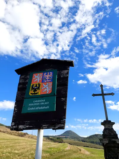
km 1.81 -
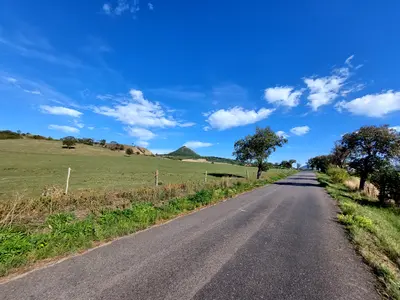
km 3.67 -
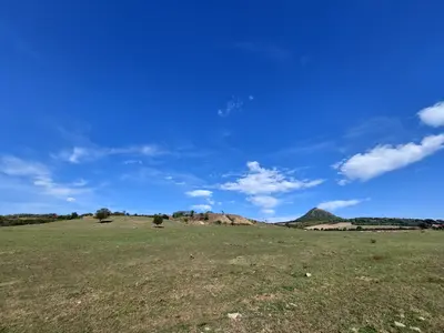
km 3.84 -
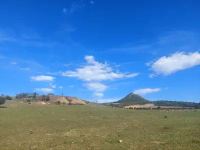
km 3.84 -
km 3.84 -
km 6.18 -
km 6.18 -
km 6.18 -
km 6.18 -
km 5.11 -
km 5.11 -
km 5.11 -
km 5.11 -
km 5.11 -
km 5.11 -
km 5.11 -
km 5.11 -
km 5.11 -
km 5.11 -
km 5.11 -
km 5.11 -
km 5.11 -
km 4.86 -
km 4.75 -
km 10.32 -
km 10.75 -
km 10.75 -
km 11.57 -
km 11.57 -
km 11.57 -
km 11.57 -
km 12 -
km 12 -
km 12 -
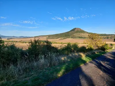
km 12.54 -
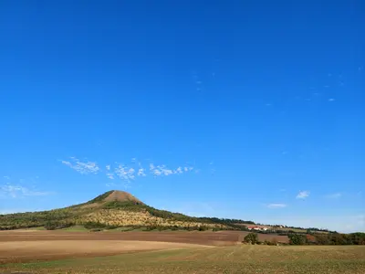
km 13.06 -
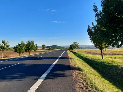
km 13.06 -
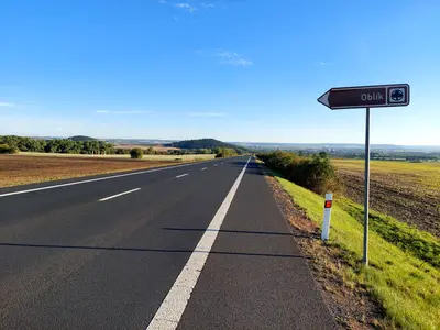
km 13.5 -
km 13.91 -
km 13.91 -
km 13.91 -
km 13.91 -
km 14.16 -
km 15.01 -
km 15.01 -
km 15.87 -
km 15.87 -
km 15.87 -
km 16.04 -
km 16.32 -
km 16.32 -
km 16.08 -
km 16.08 -
km 16.08 -
km 16.19 -
km 16.19 -
km 16.32 -
km 16.32 -
km 16.32 -
km 16.32 -
km 16.32 -
km 16.32 -
km 16.32 -
km 16.32 -
km 17.03 -
km 17.41 -
km 17.41 -
km 17.41 -
km 17.41 -
km 17.41 -
km 17.41 -
km 17.41 -
km 17.41 -
km 17.41 -
km 17.72 -
km 17.72 -
km 18.07 -
km 18.07 -
km 18.07 -
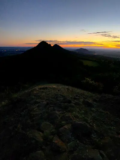
km 18.02 -
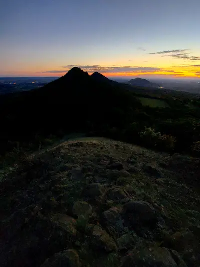
km 18.02 -
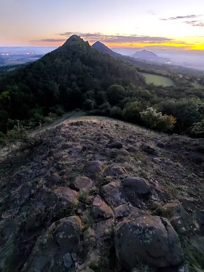
km 18.02 -
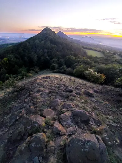
km 18.02 -
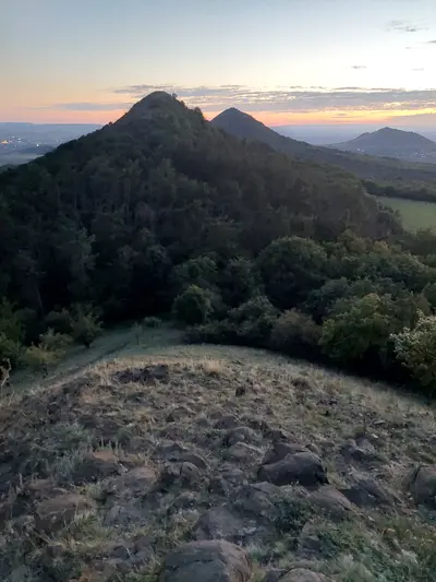
km 18.02 -
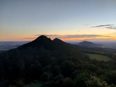
km 18.02 -
km 18.63 -
km 18.63 -
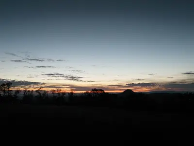
km 18.72 -
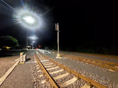
km 25.71 -
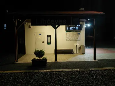
km 25.71 -
-
-
-
-
-
-
-
-
-
-
-
-