Up the Lužnice to Tábor
Táborsko , Point to point , hiked 29 August 2026
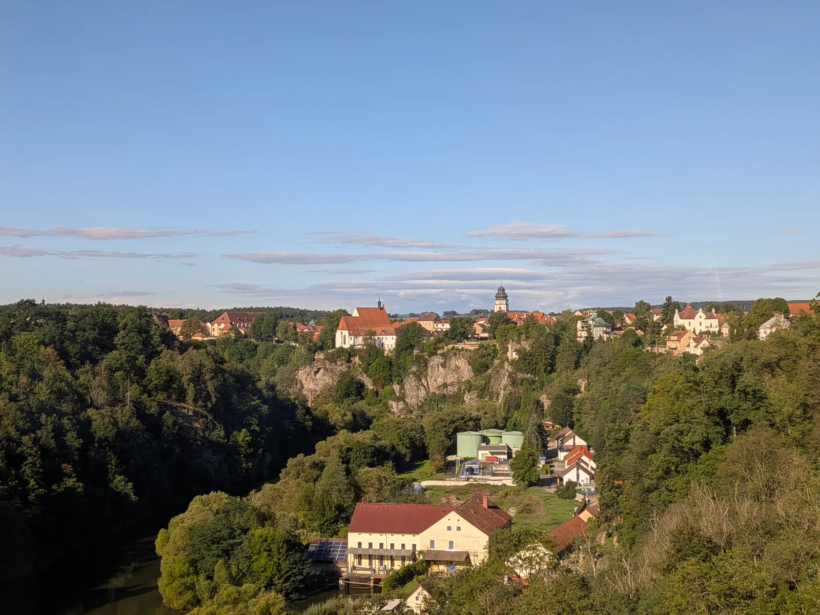
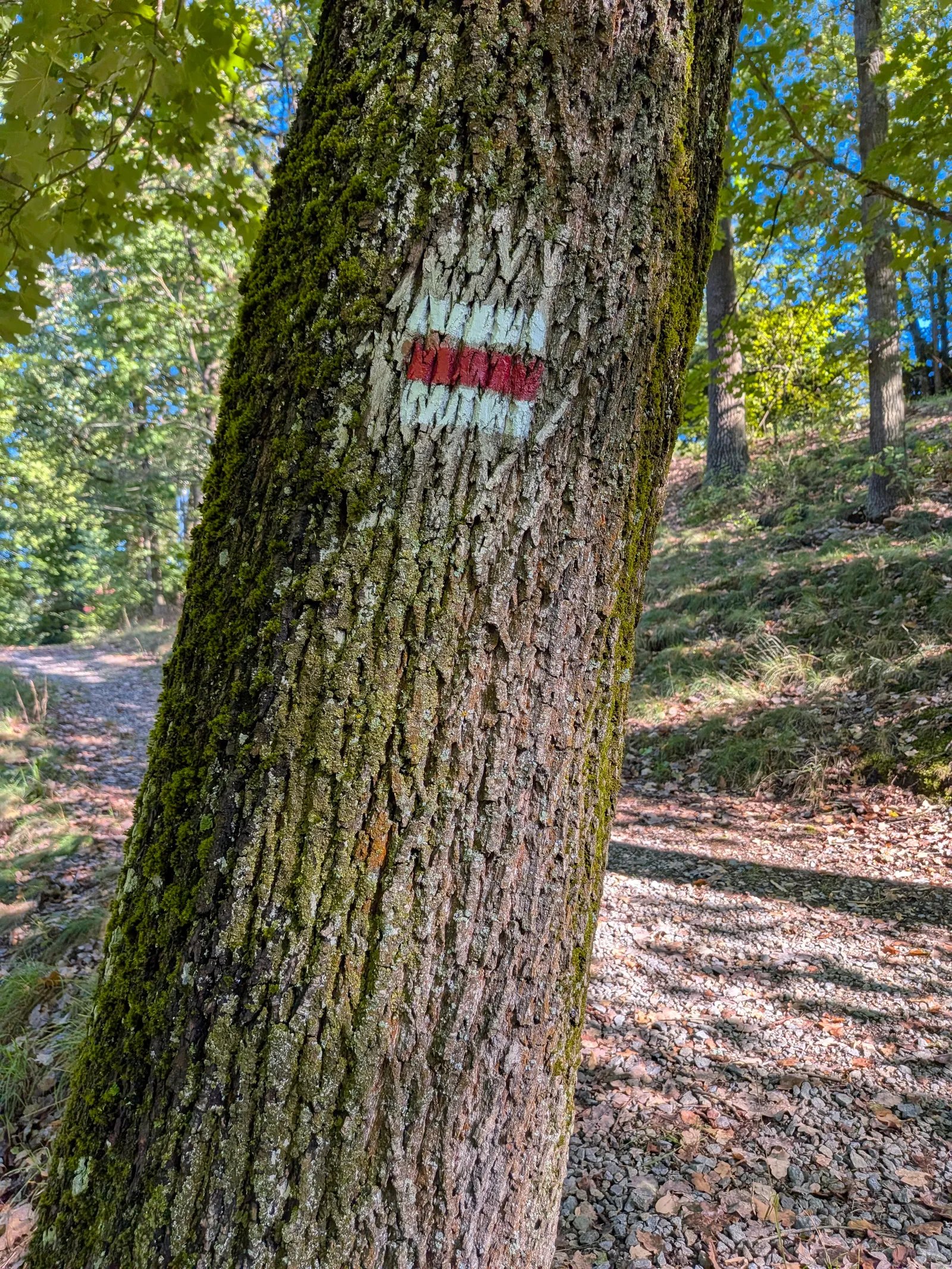
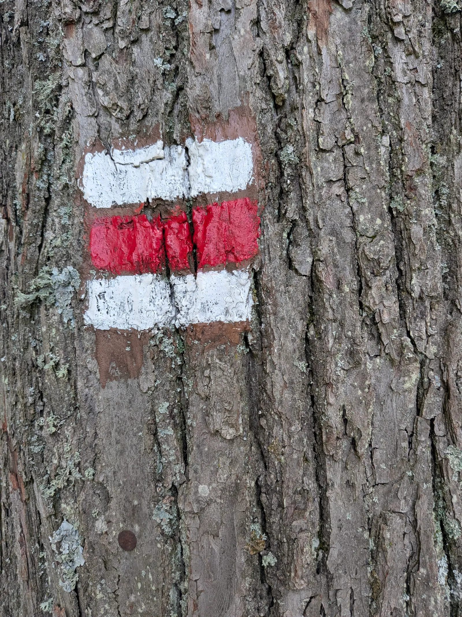
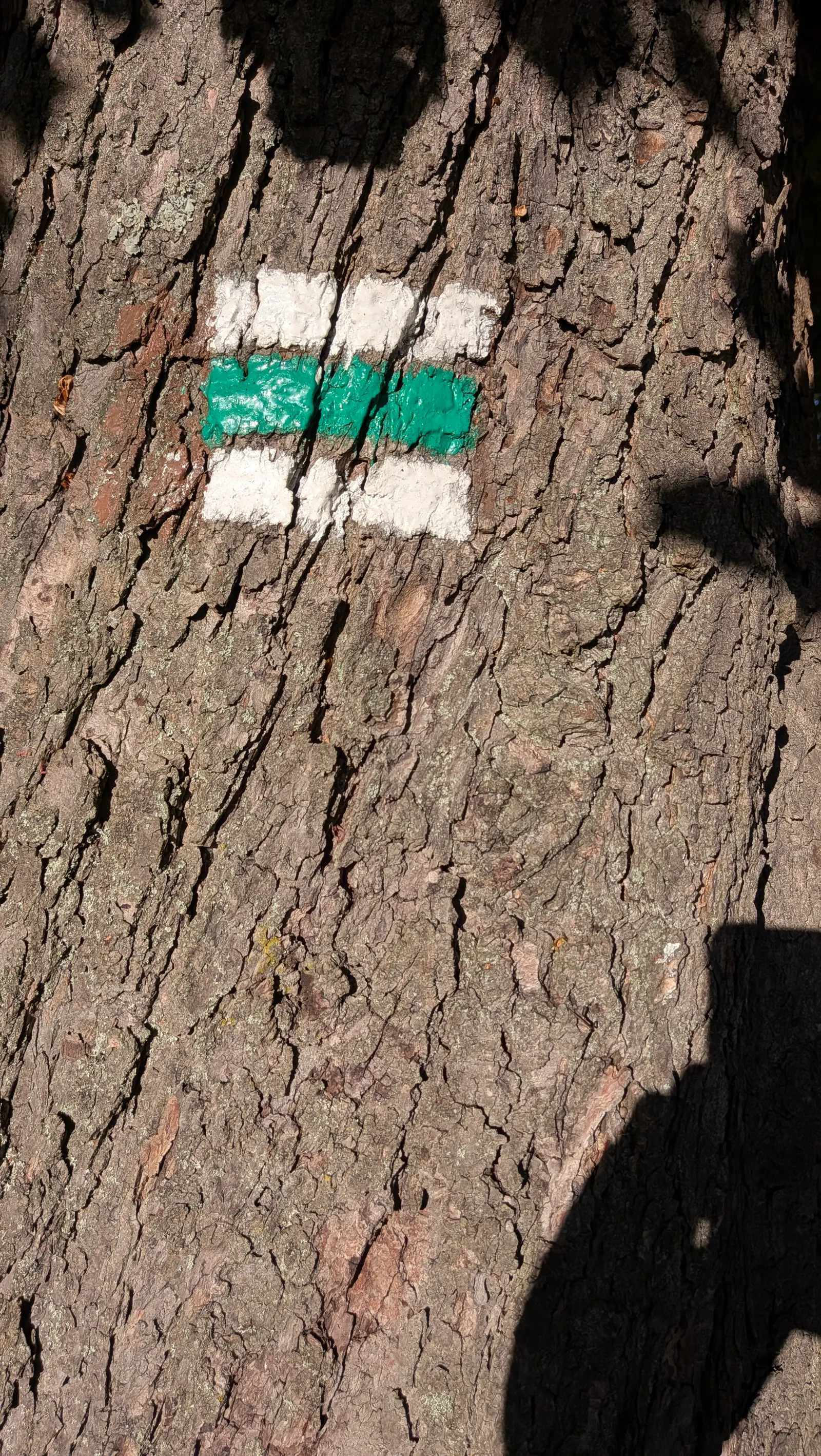
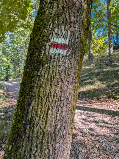
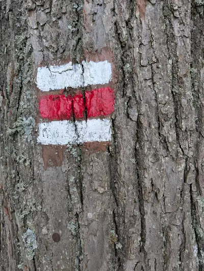
A day along the Lužnice from the spa town of Bechyně to Hussite Tábor. The red waymark follows the wooded river canyon past a castle ruin, a lone field church, the old chain bridge at Stádlec and a walkway and tunnel in the rock under Příběnice.
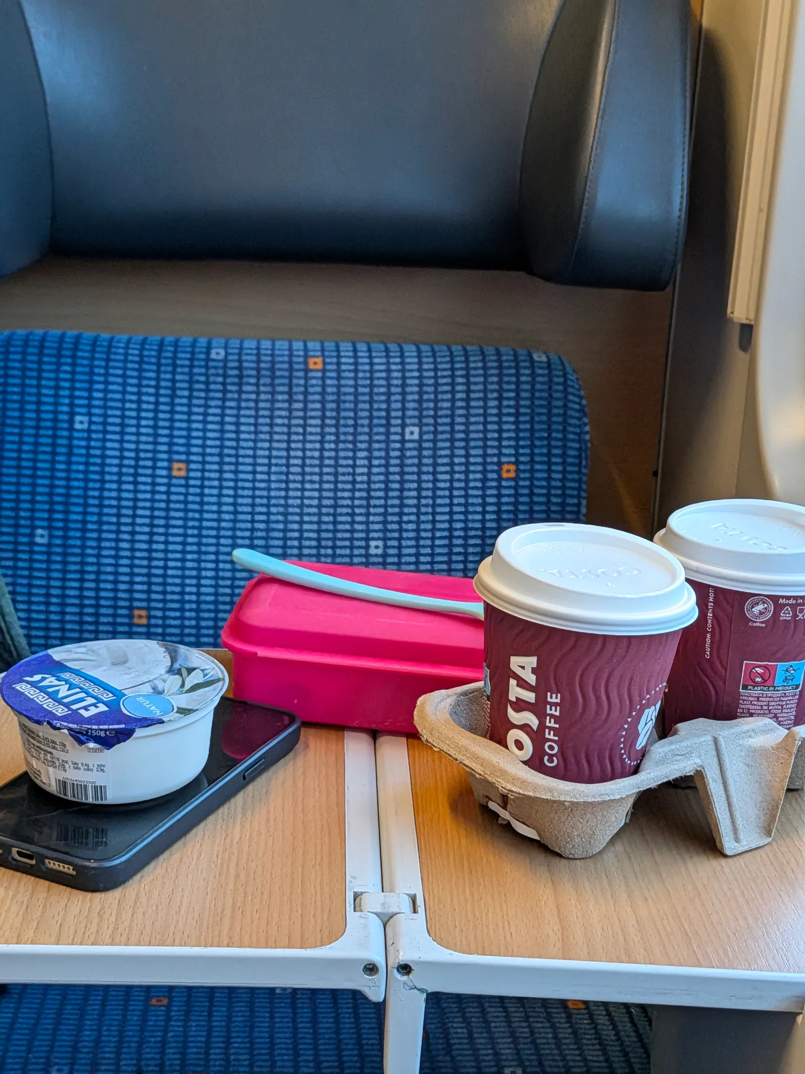
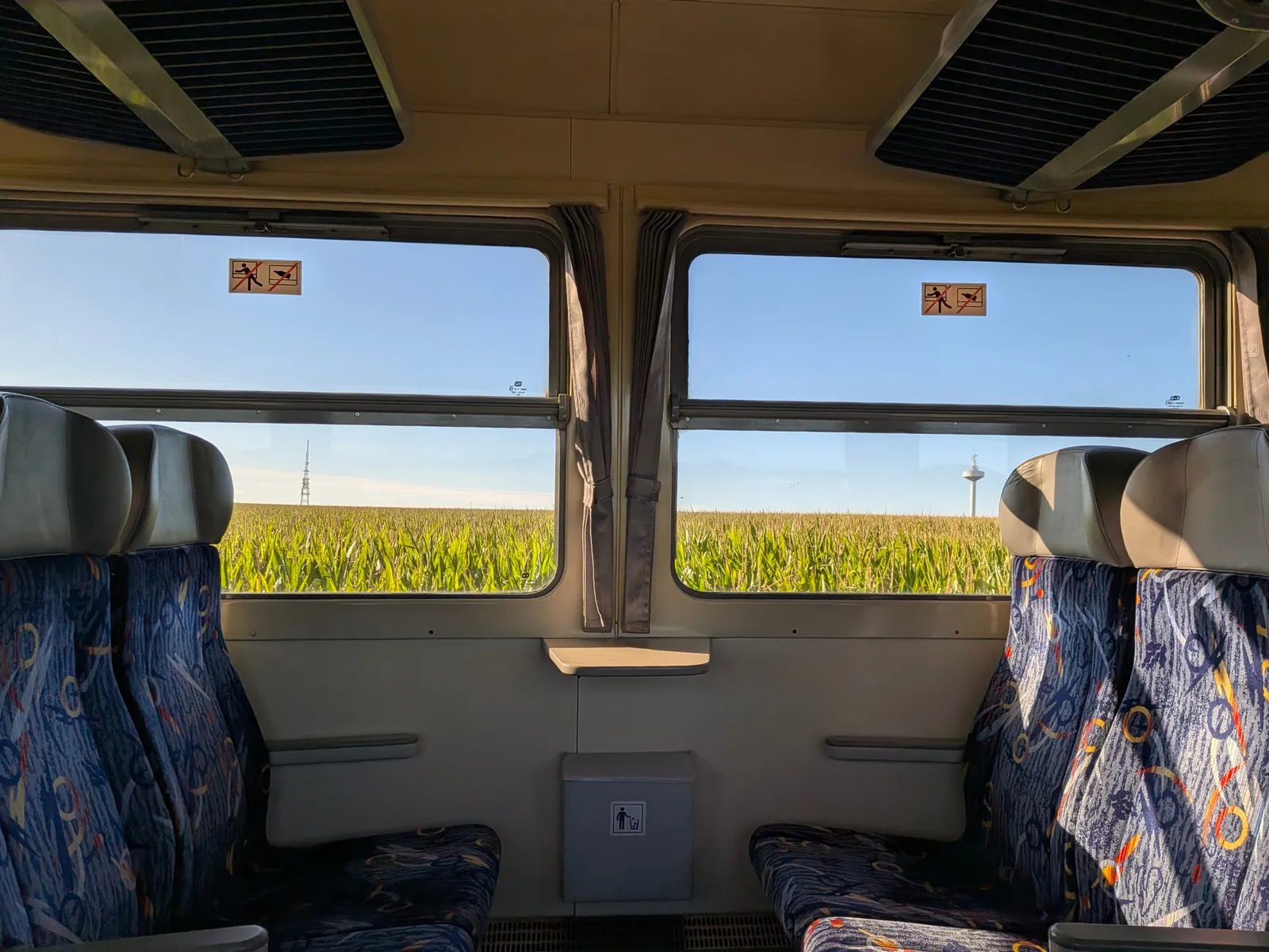
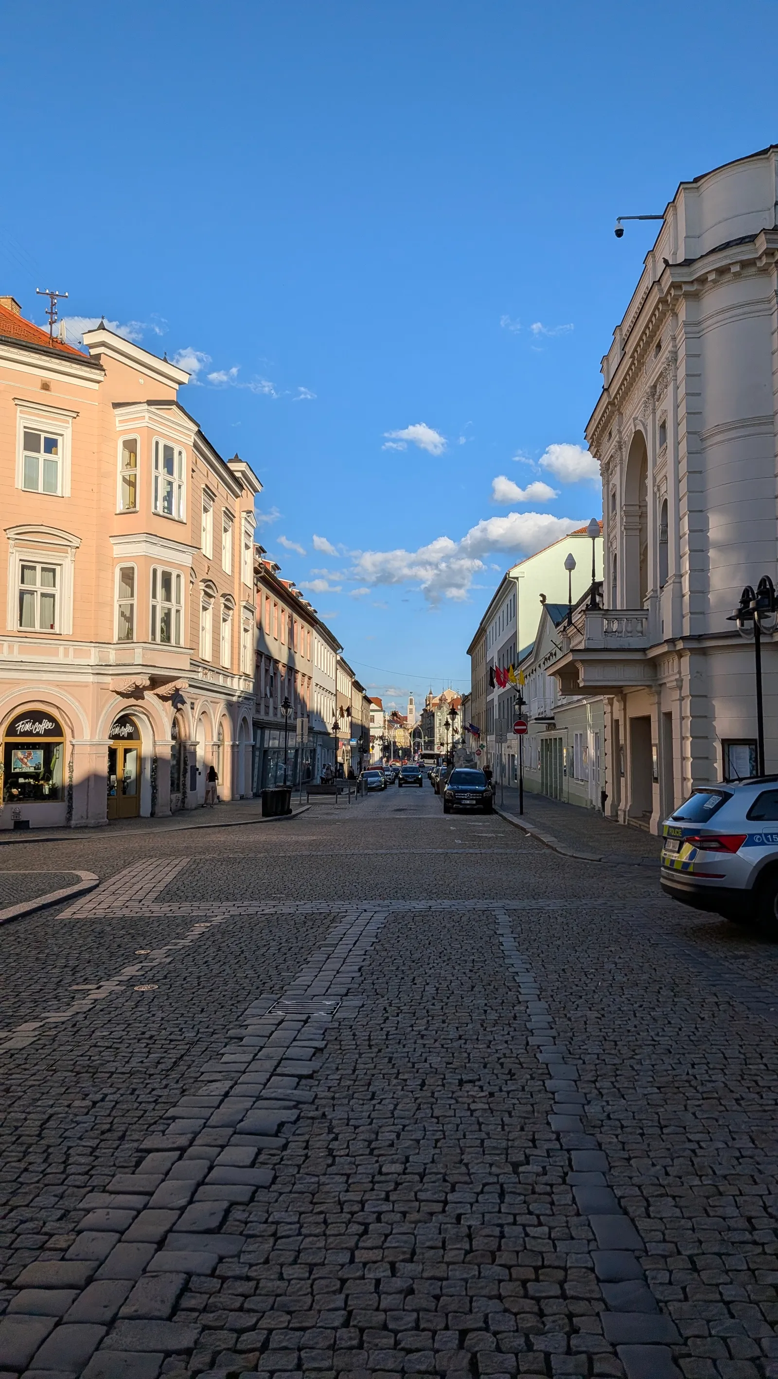
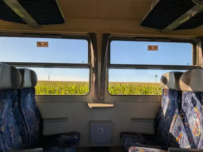
The walk starts at Bechyně railway station, the end of the Bechyňka line from Tábor. From Prague it takes about two and a half hours with one change in Tábor, so you are walking by nine. The station is in town, a few minutes from the square. Walk through Bechyně before you start, it takes ten minutes and the square is on the way. We had a beer there first. The red waymark then leaves town under the concrete arch of the Duha bridge and drops to the Lužnice.
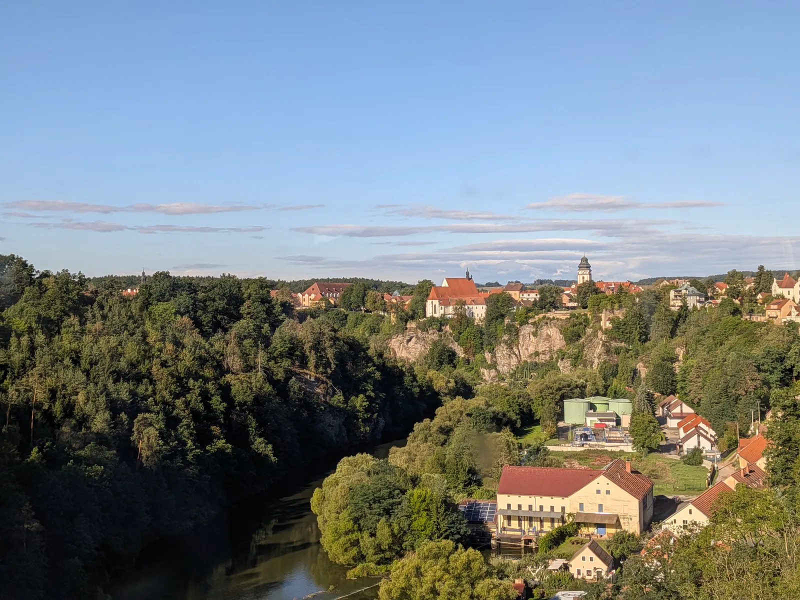
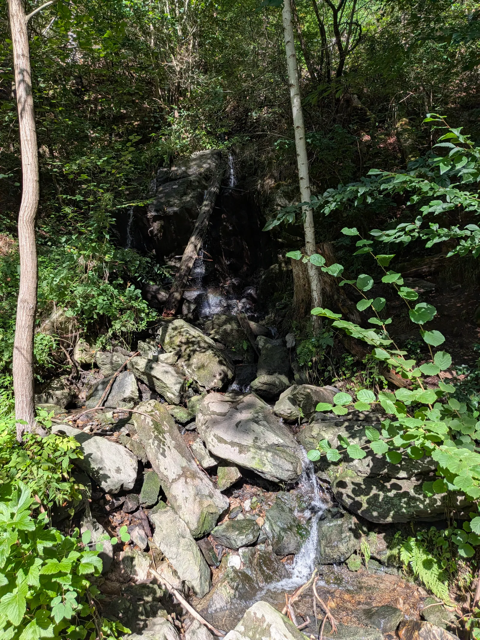
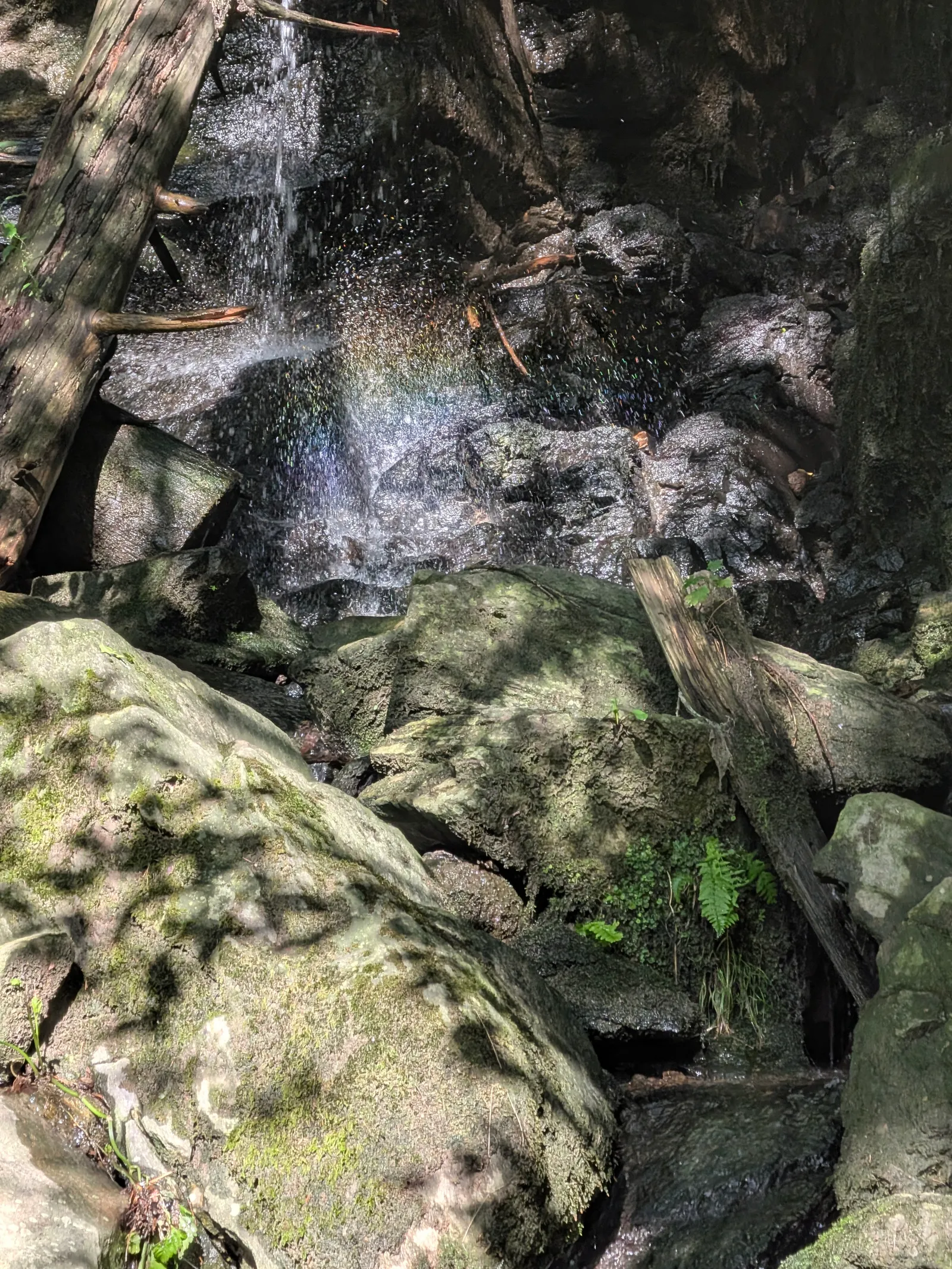
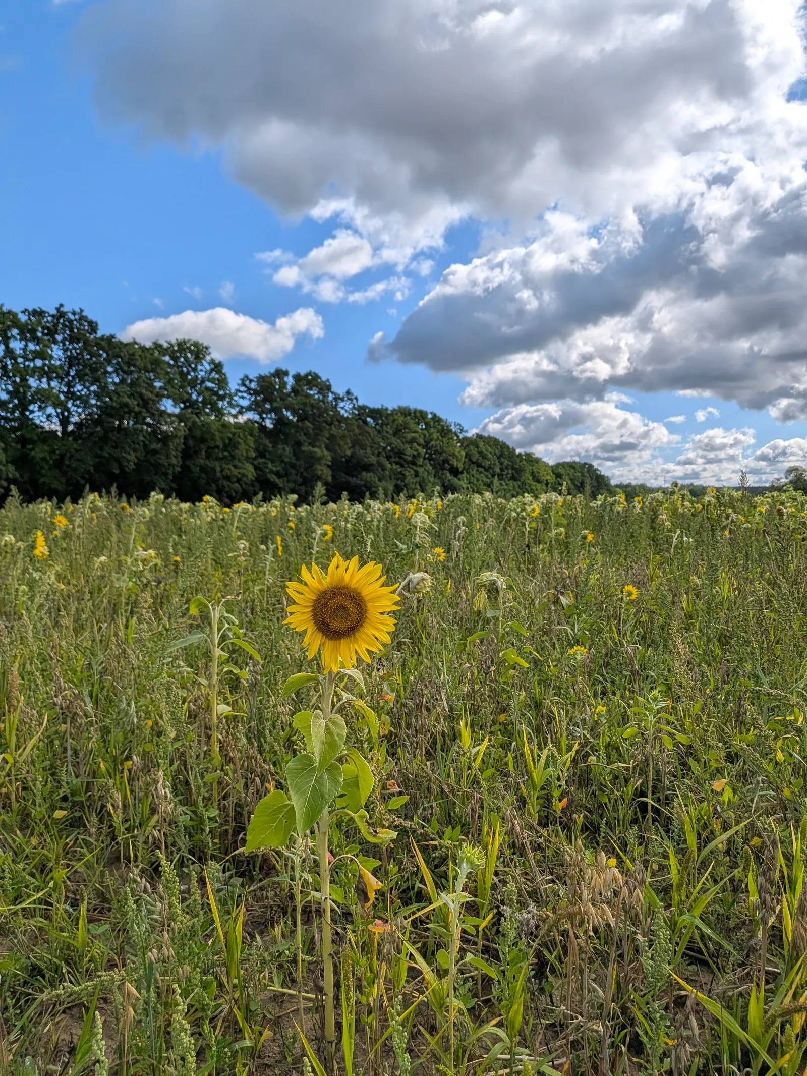
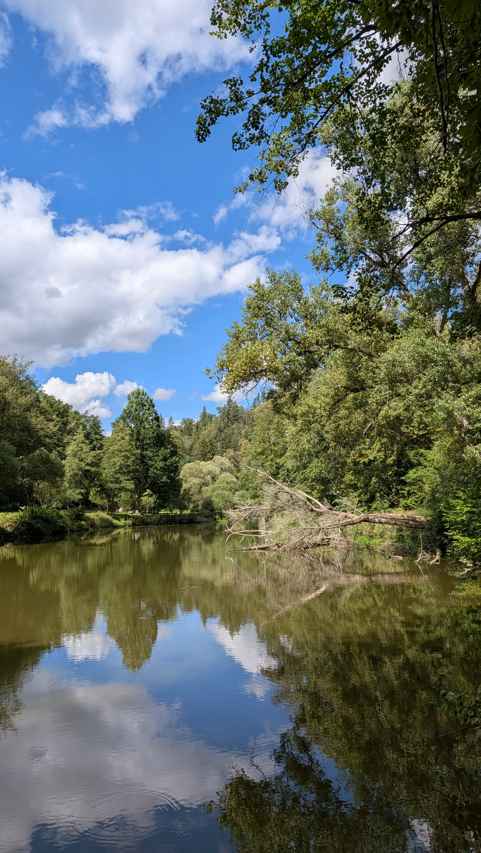
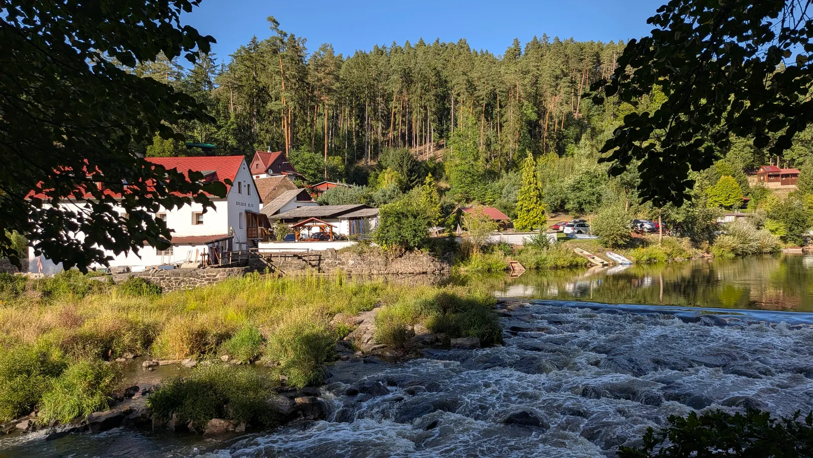
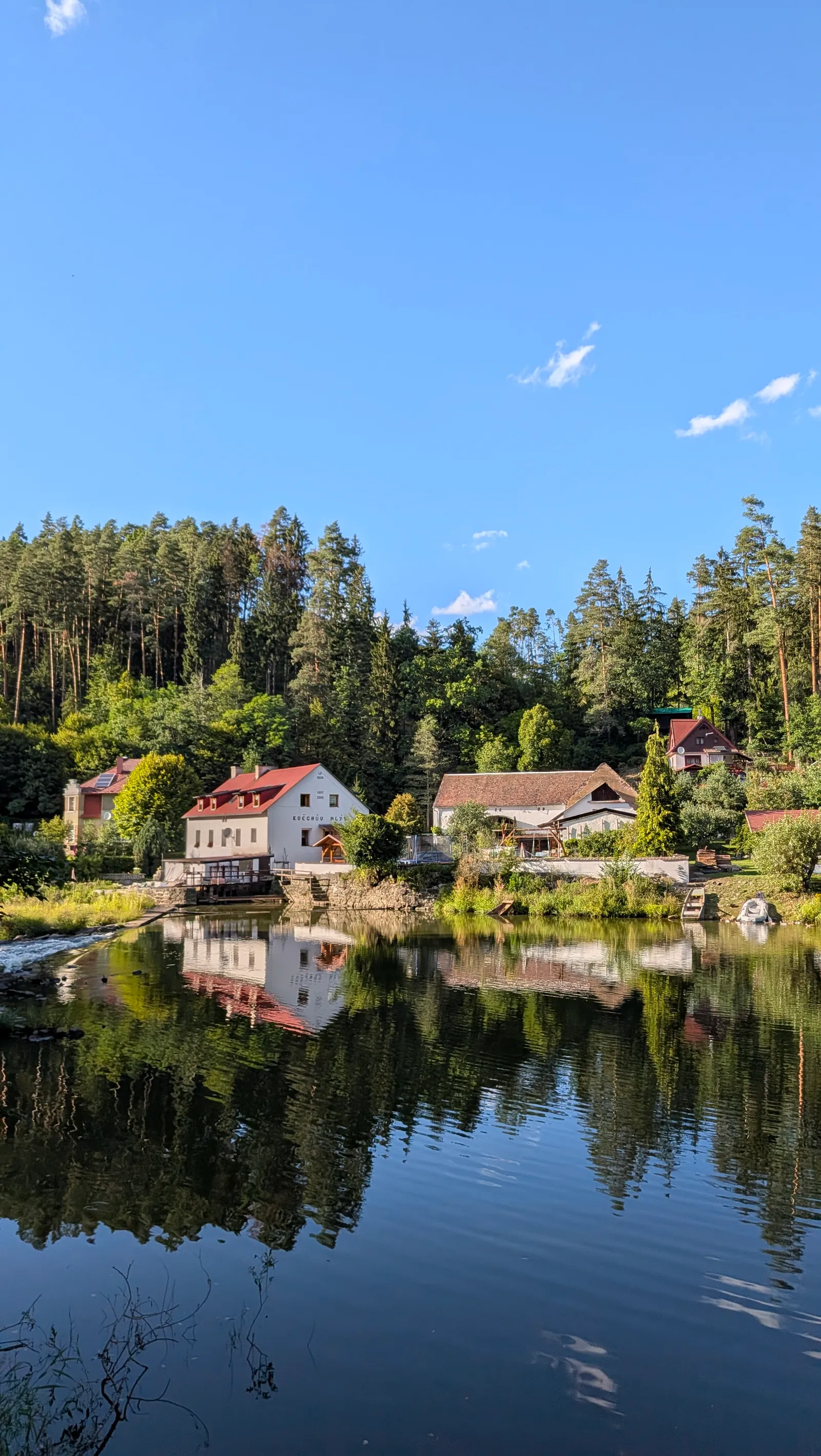
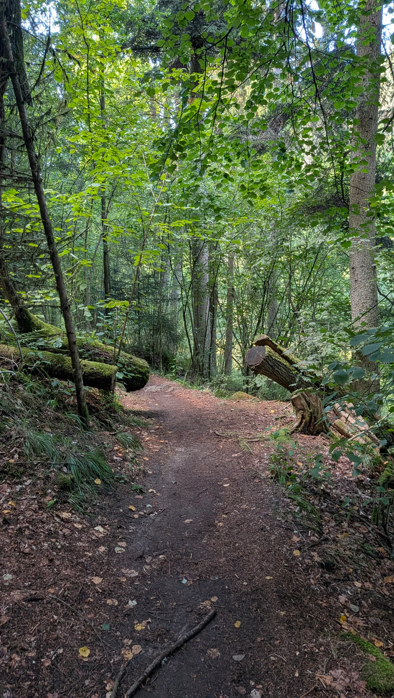
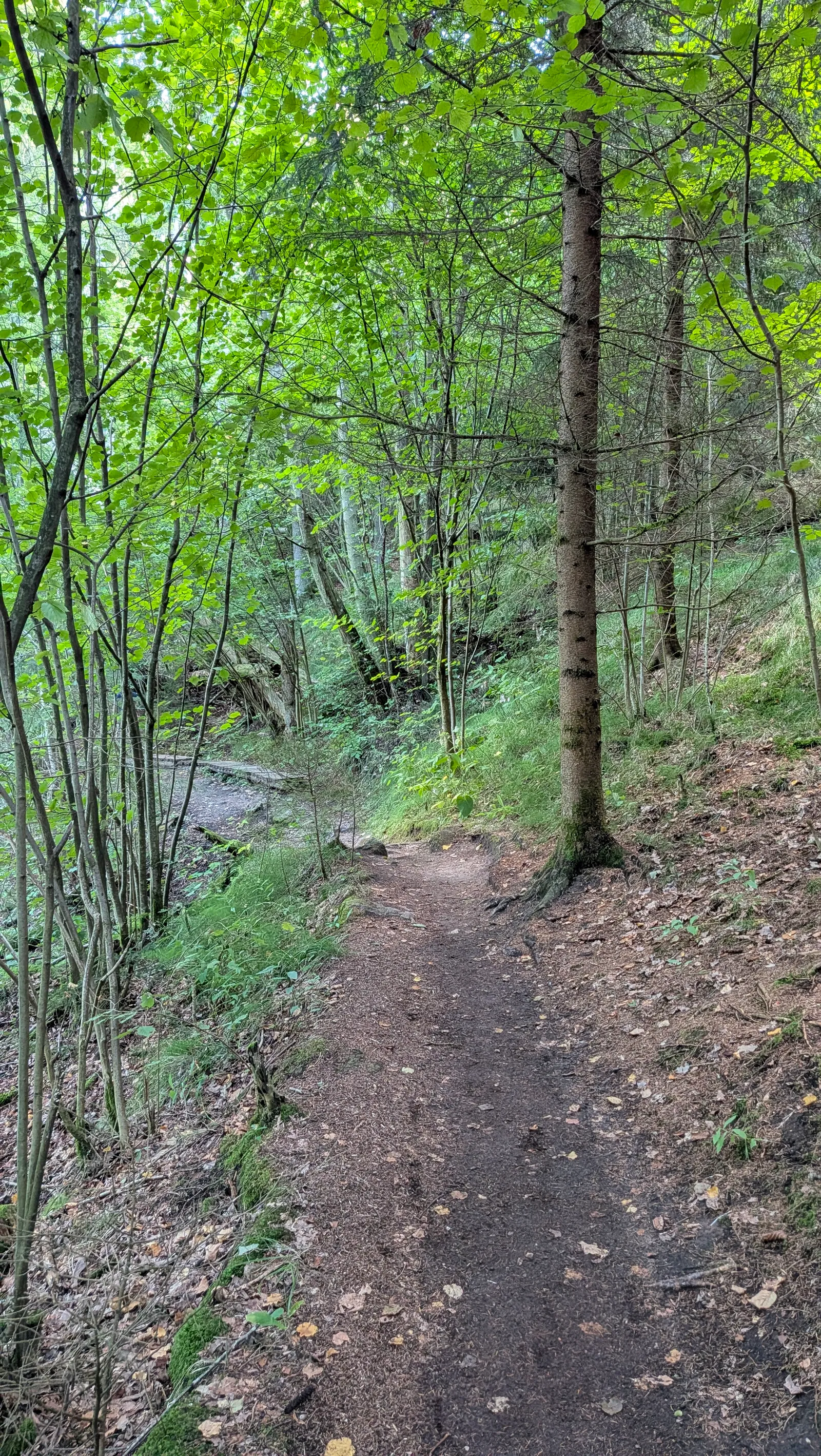
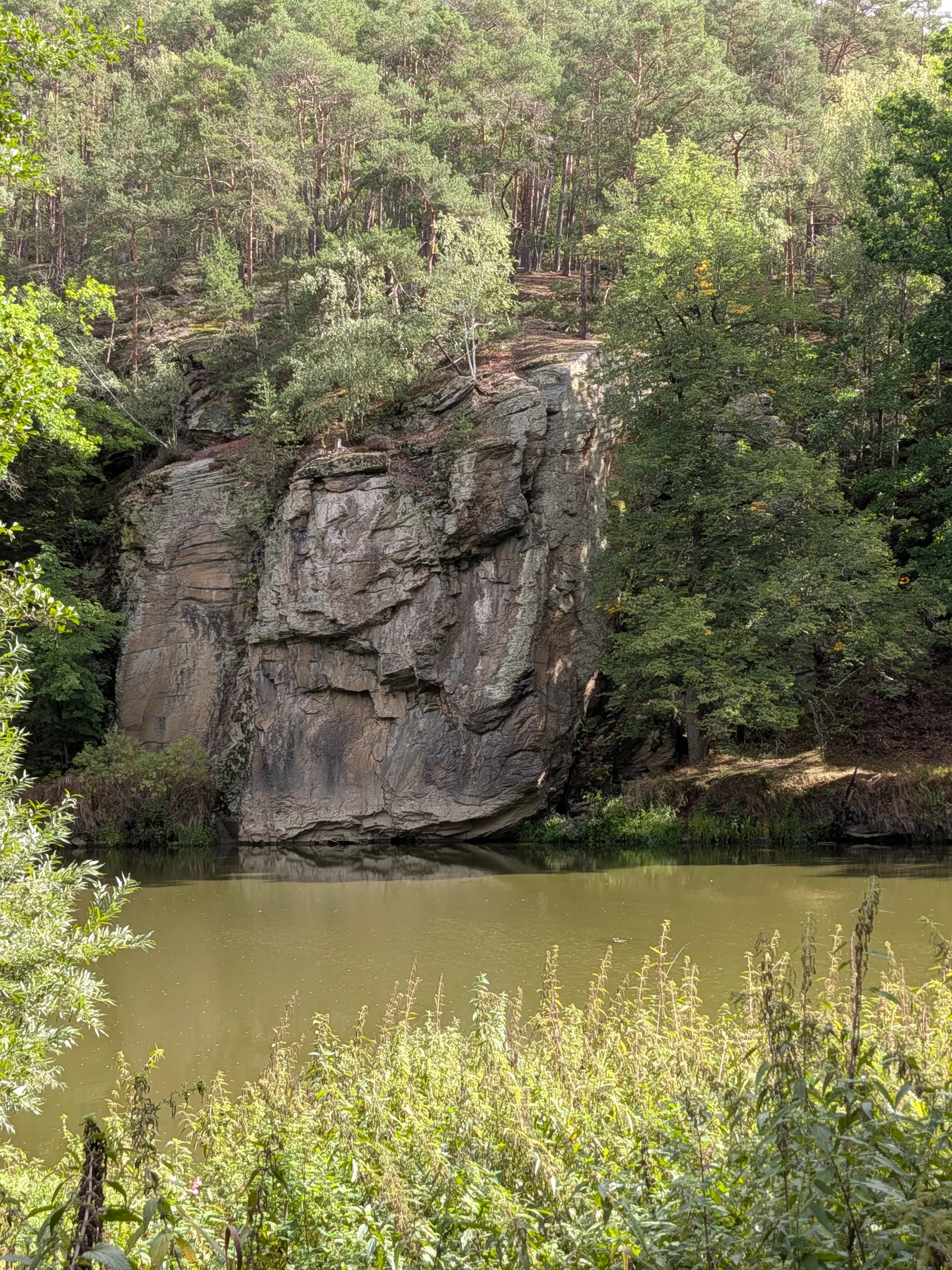
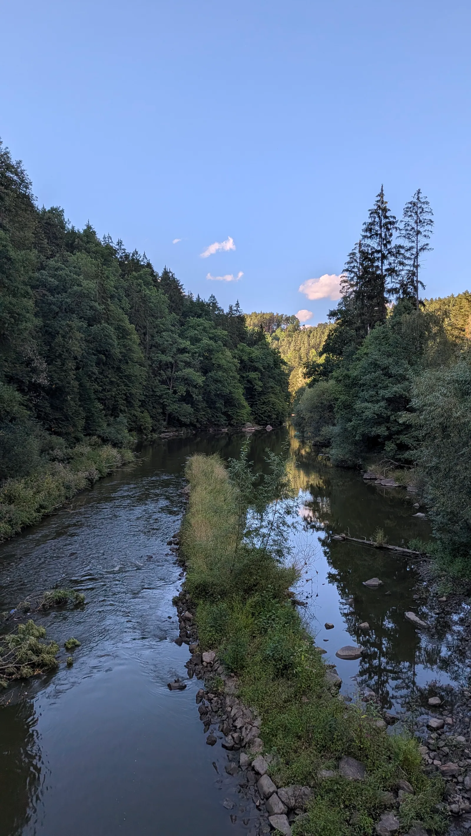
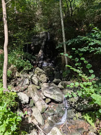
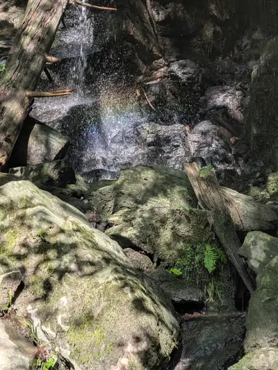
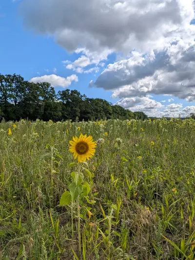
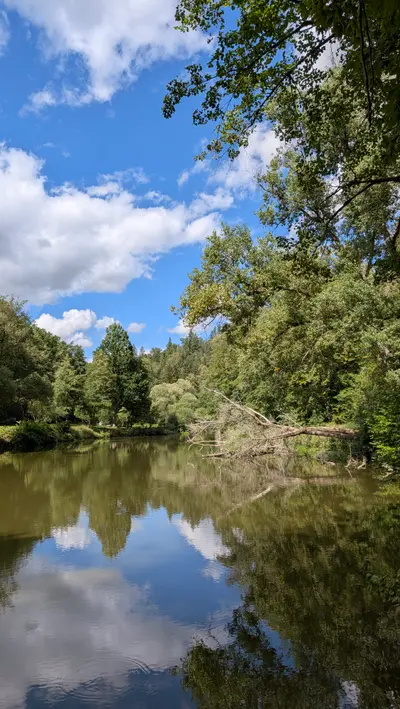
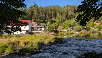
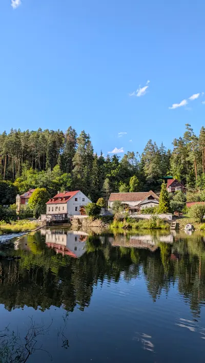
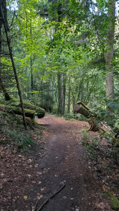
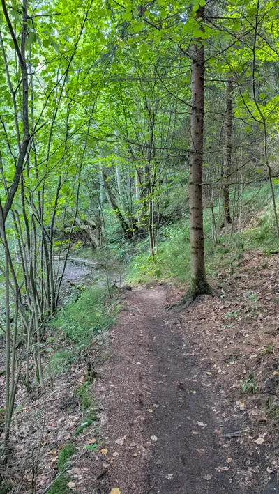
The red waymark follows the river upstream for most of the day. The path is easy and mostly in the trees. It passes weirs, holiday cabins and campsites, a small stream falling over rocks, a field of sunflowers, and one rock wall that drops straight into the water. The river is slow and green here and there are plenty of places to sit down by it.
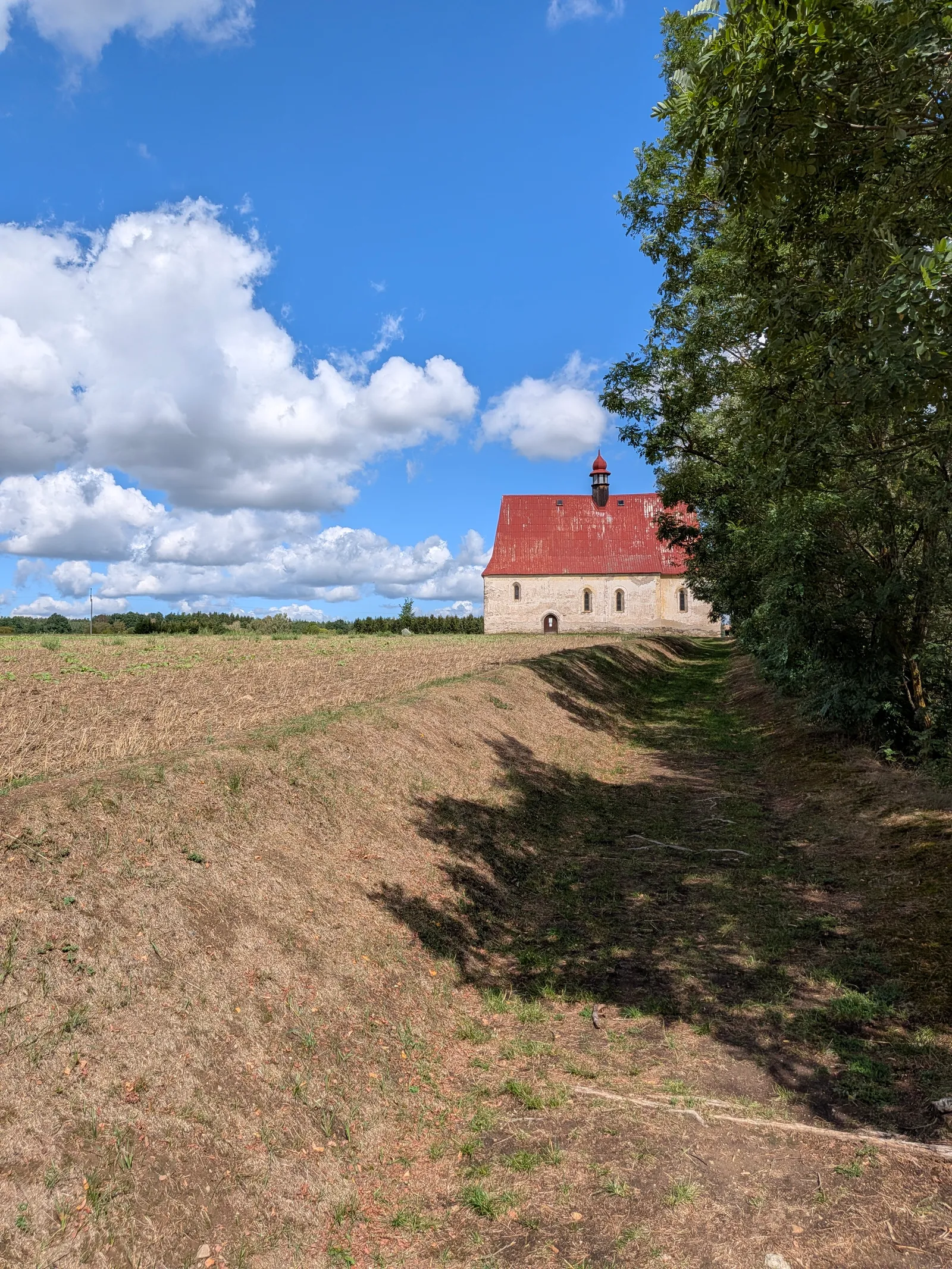
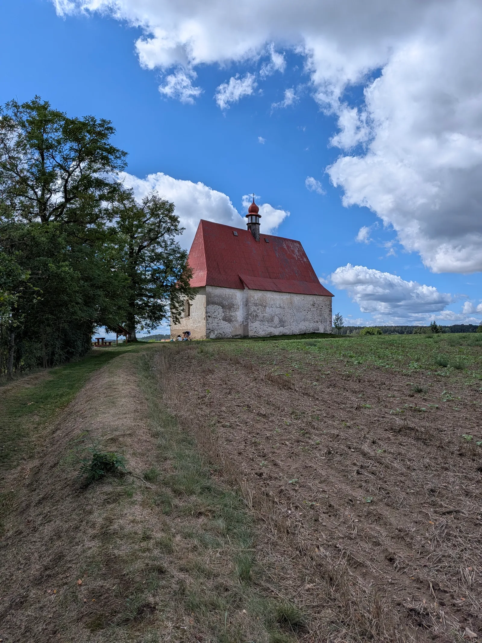
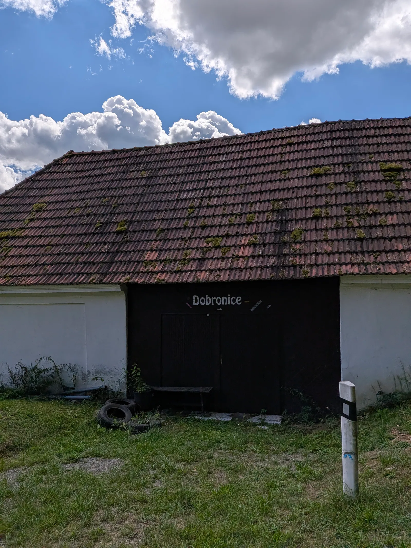
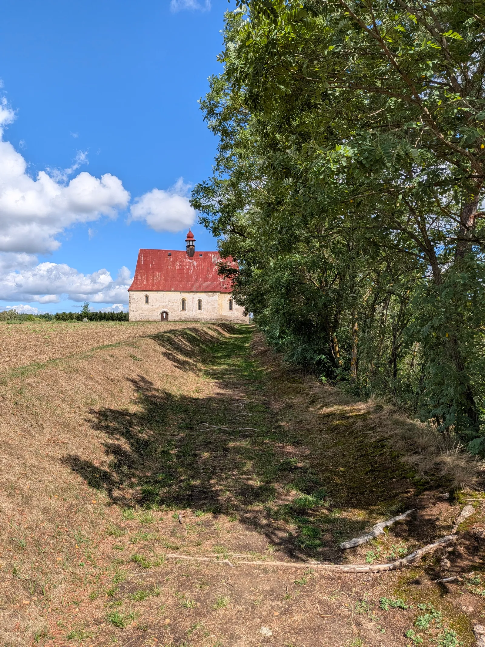
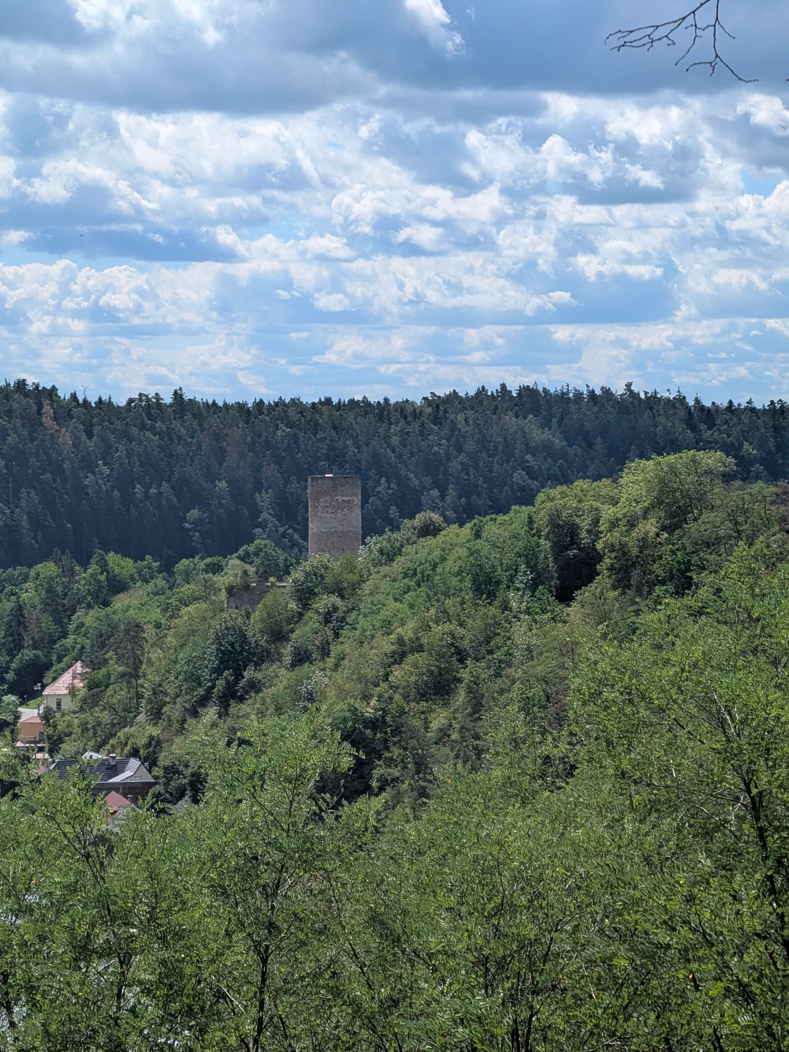
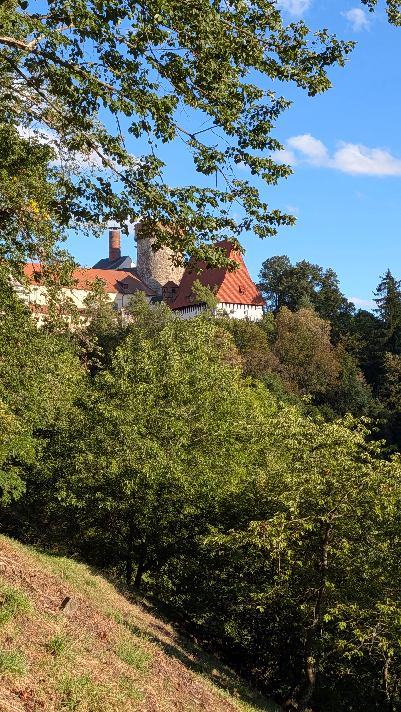
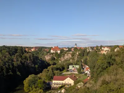
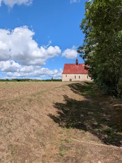
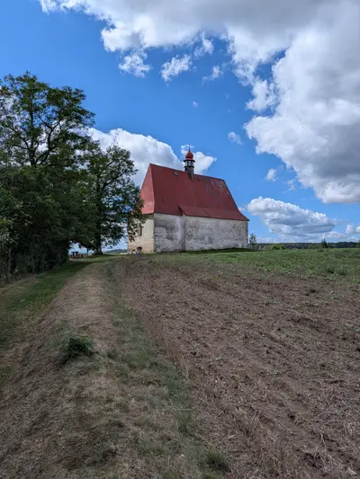
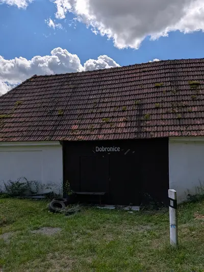
Around Dobronice the valley opens for a moment. The castle ruin stands on a spur above the river, with a kiosk under it on the path. Then the path climbs to the village, and the church of the Assumption stands alone in the fields above it. It is a plain red-roofed church with nothing around it. For me it was the surprise of the day. Look back from the field track and the castle tower shows above the trees on the far side of the valley.
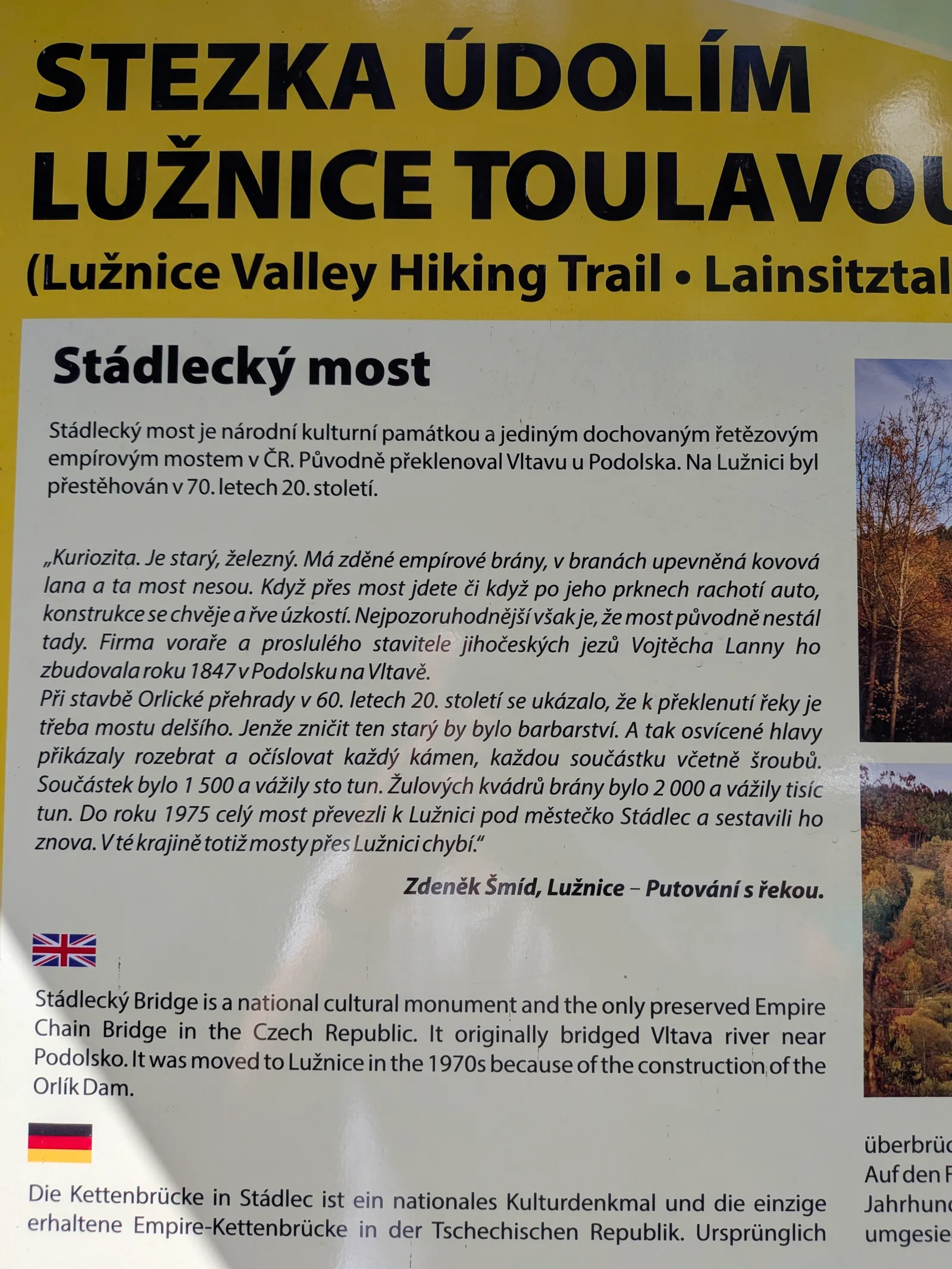
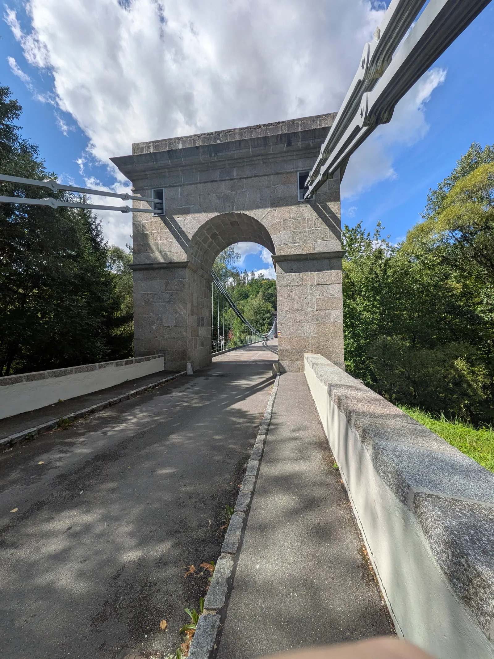
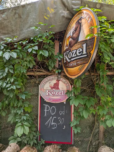
From Dobronice the red waymark stays with the river to the chain bridge at Stádlec. Cross it. The bridge was built over the Vltava in 1848 and moved here stone by stone when the Orlík dam flooded its valley. The panel at the far end tells the story. After the bridge the path goes past the campsite at Bečice, where you can get a beer and a plate of food, and on to Příběnice. A restaurant and a guesthouse stand below the ruin, on the site of the medieval town. The restaurant looks nice. The food on my visit was slightly below average.
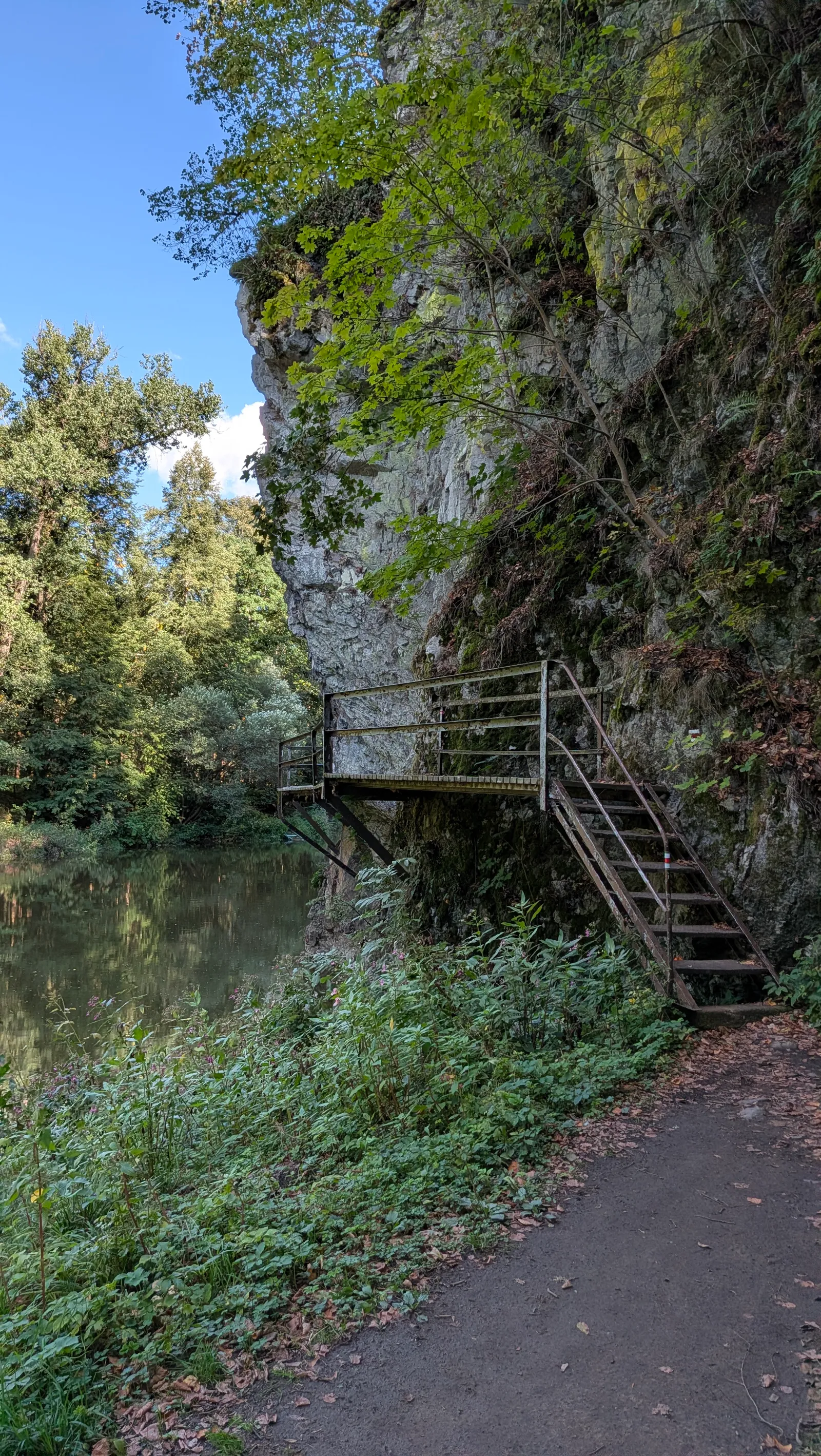
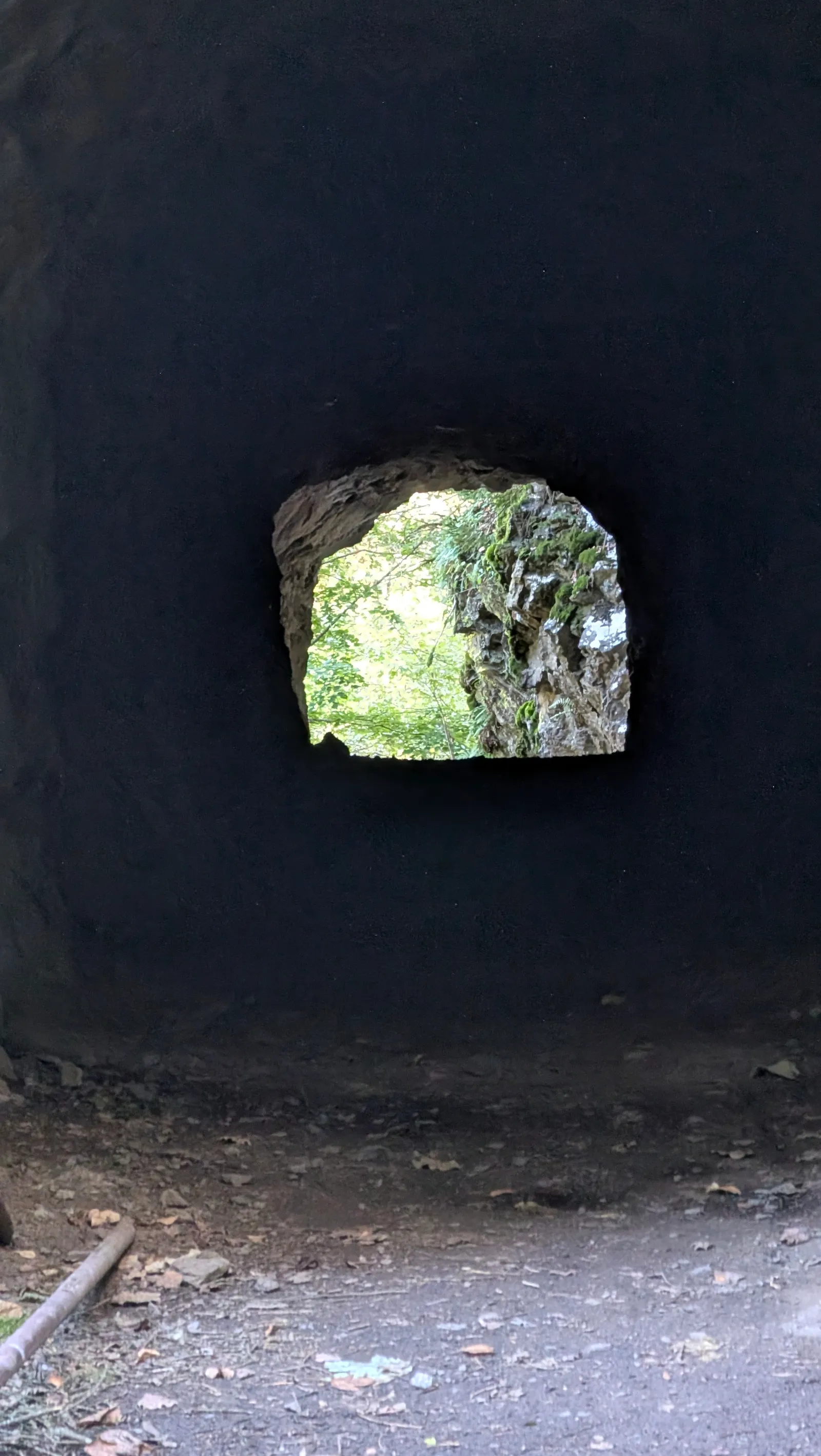
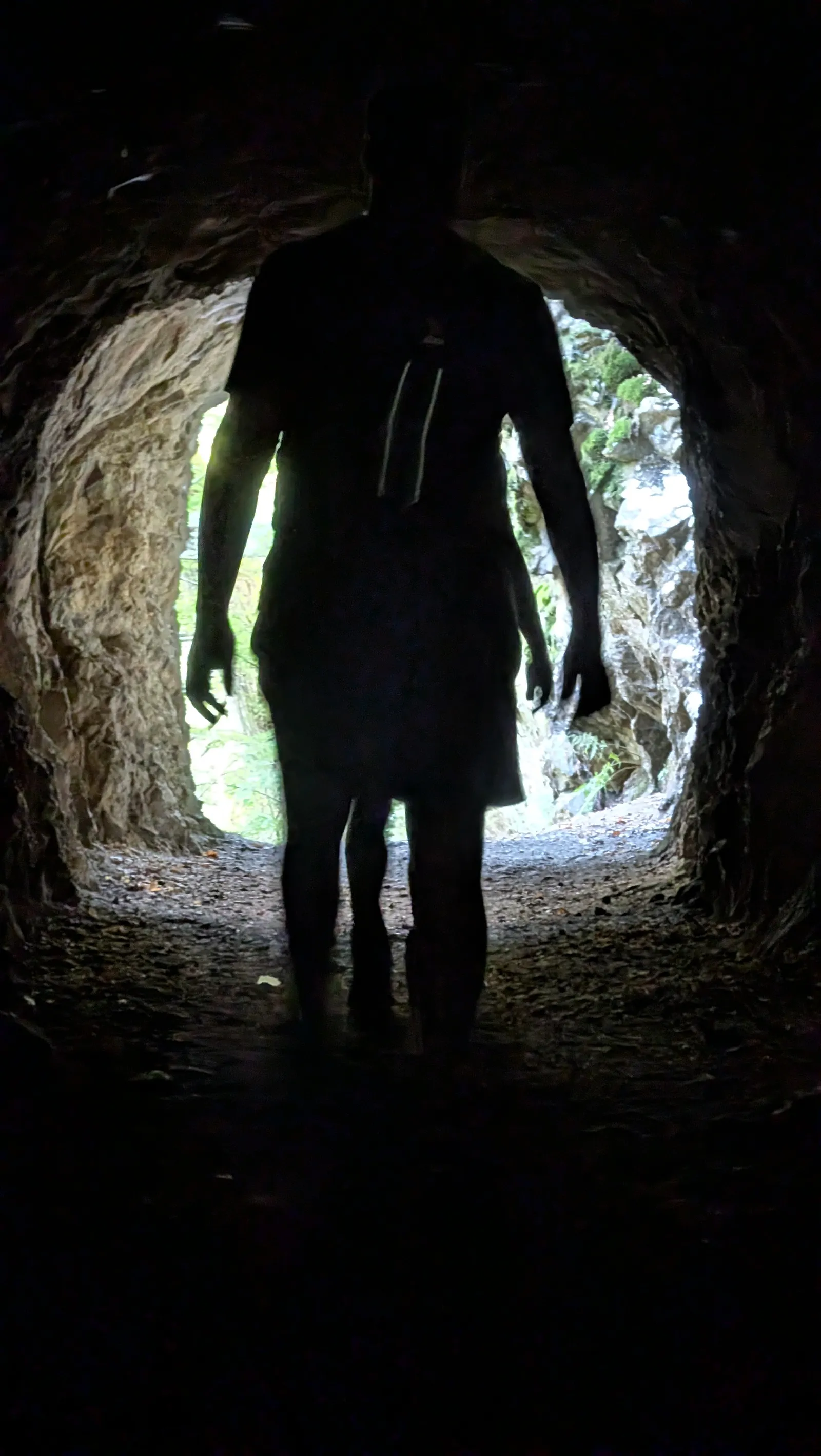
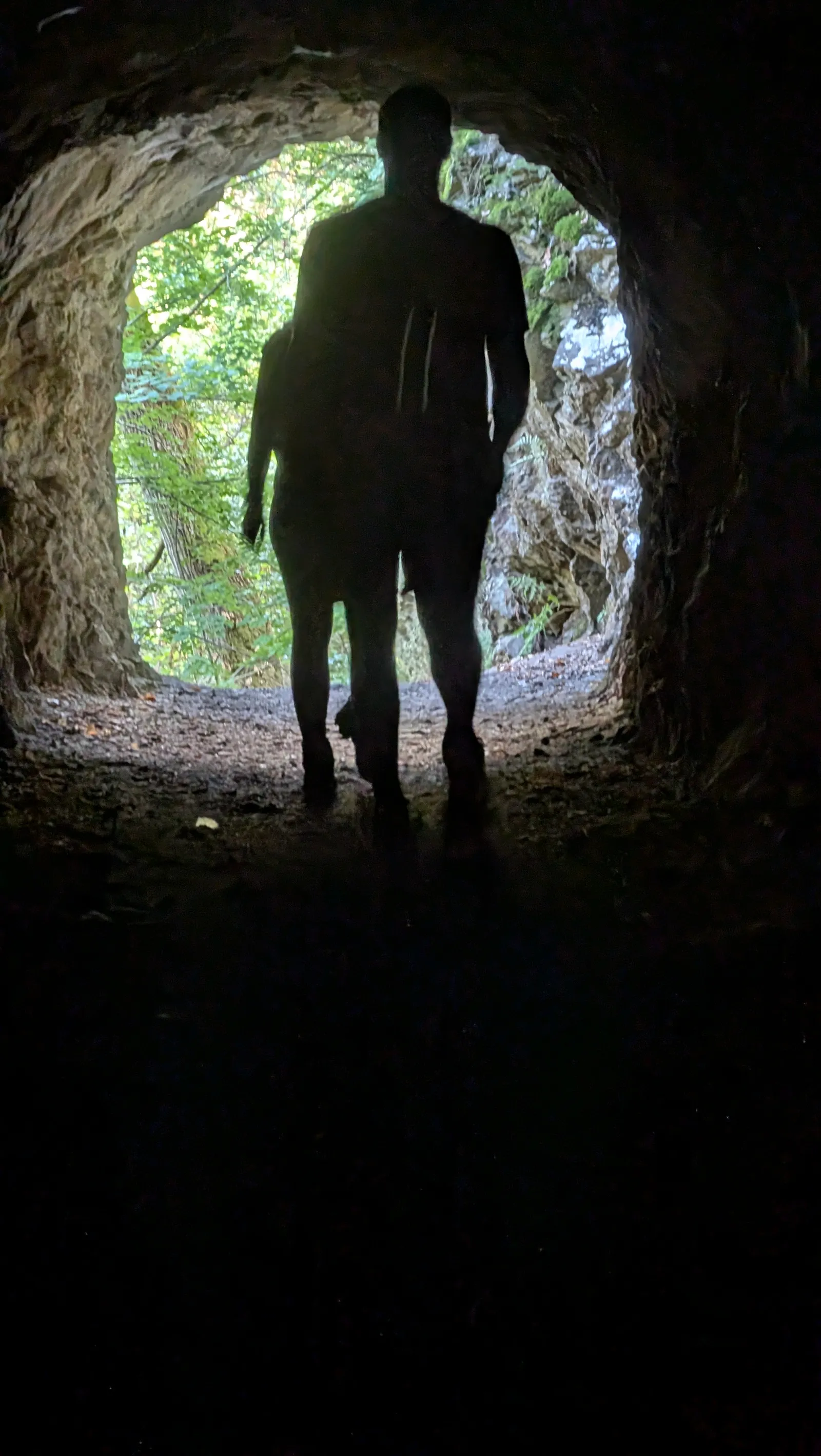
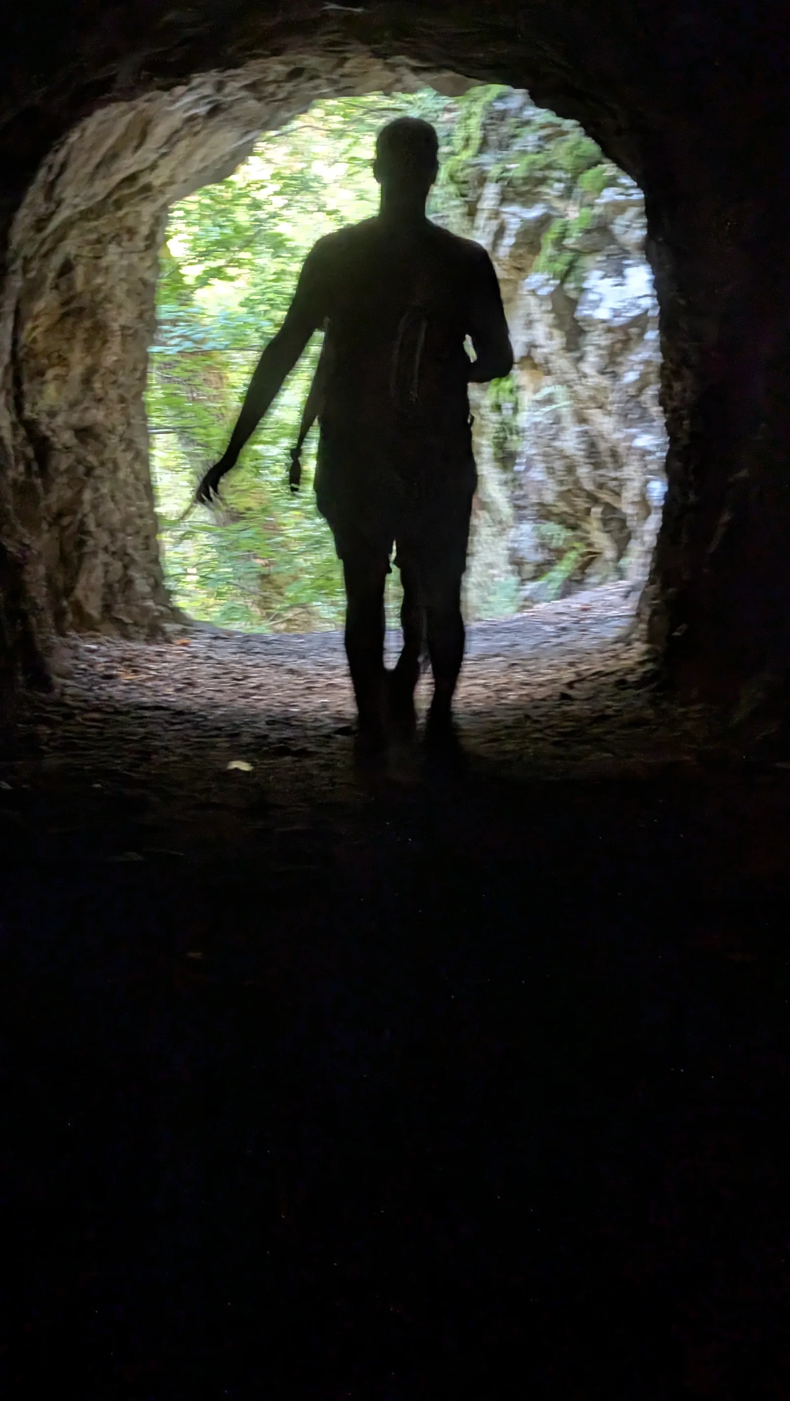
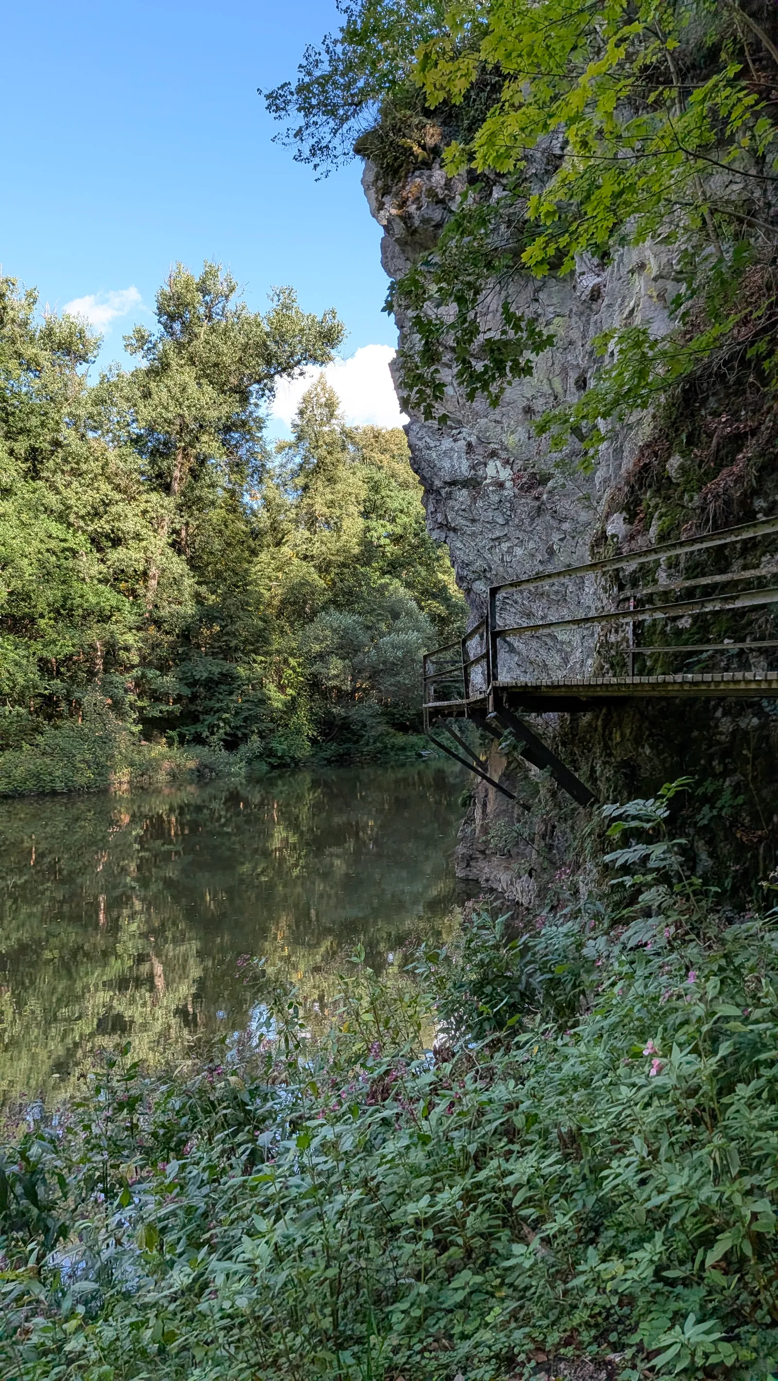
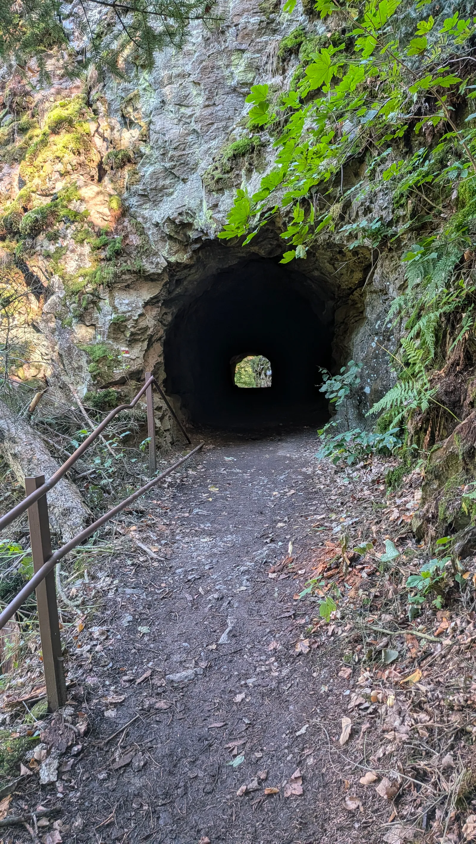
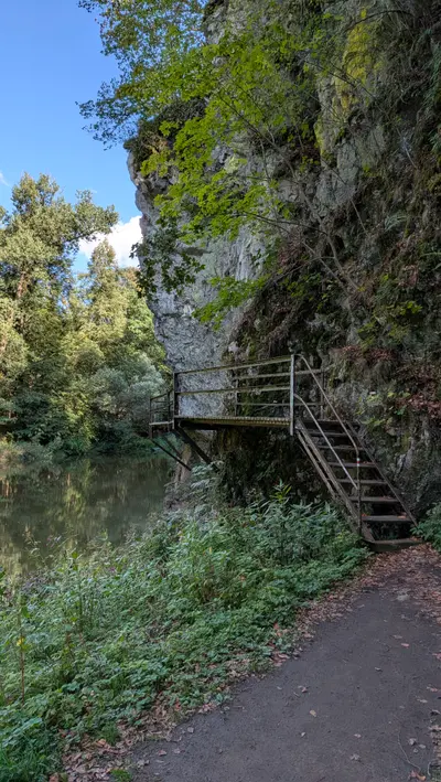
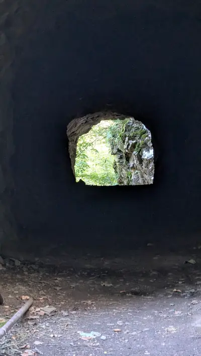
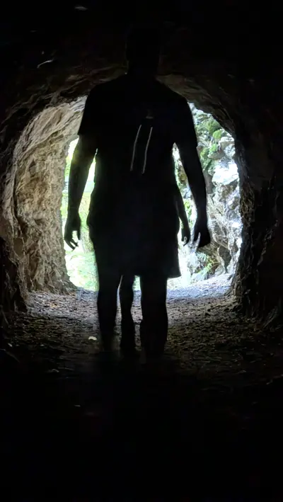
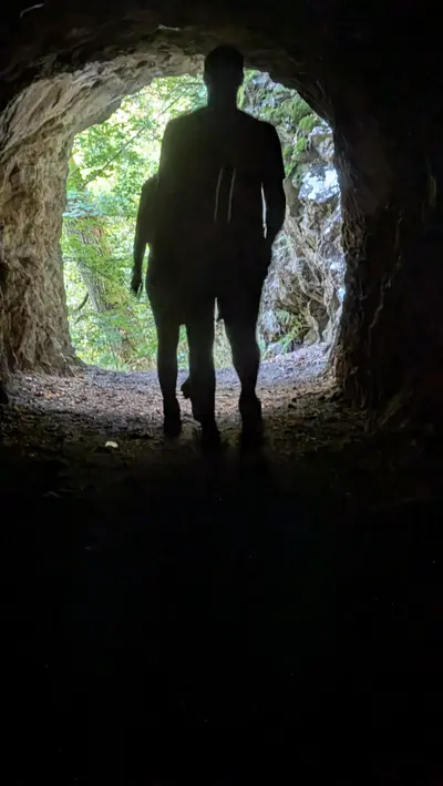
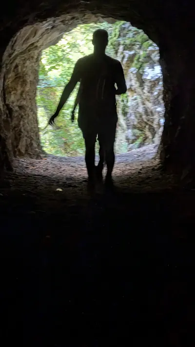
The stretch after Příběnice is my favourite part of the hike. The path leaves the bank on a steel walkway bolted to the rock face above the water. Two kilometres on it goes through a tunnel cut through the rock. The tunnel is short, but it bends and the middle is dark. Your phone light is enough.
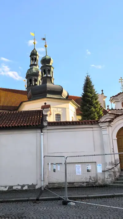
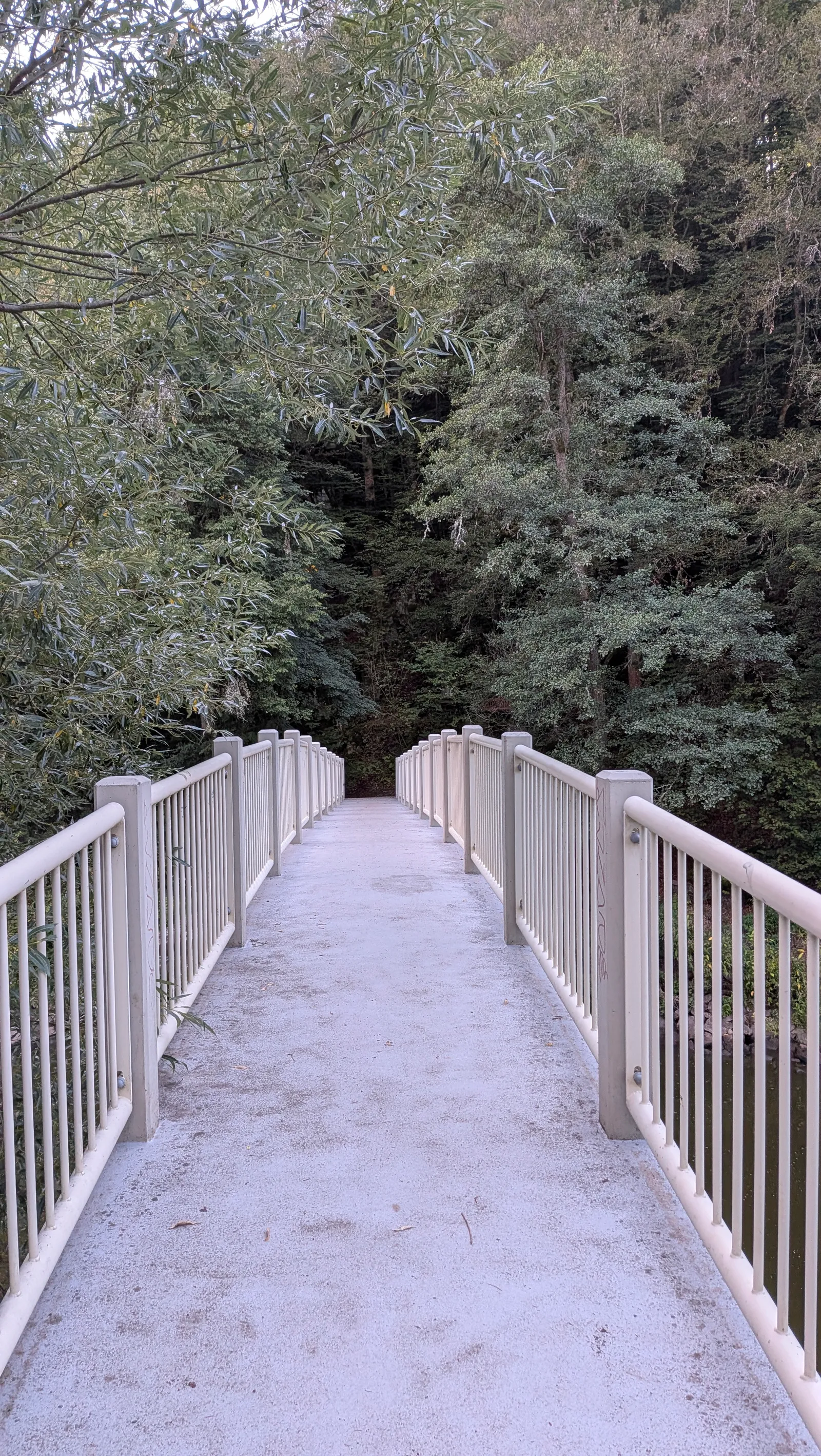
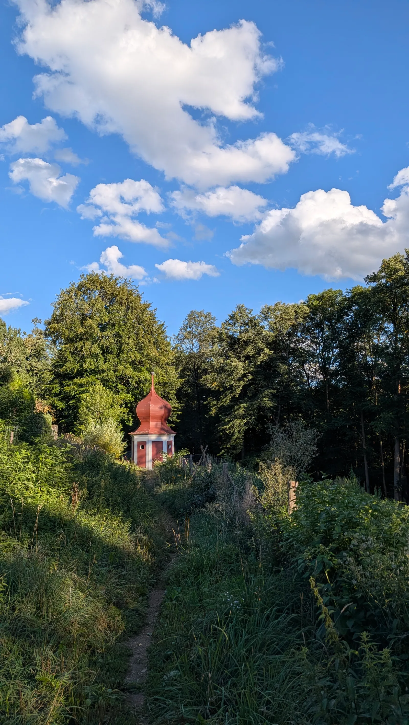
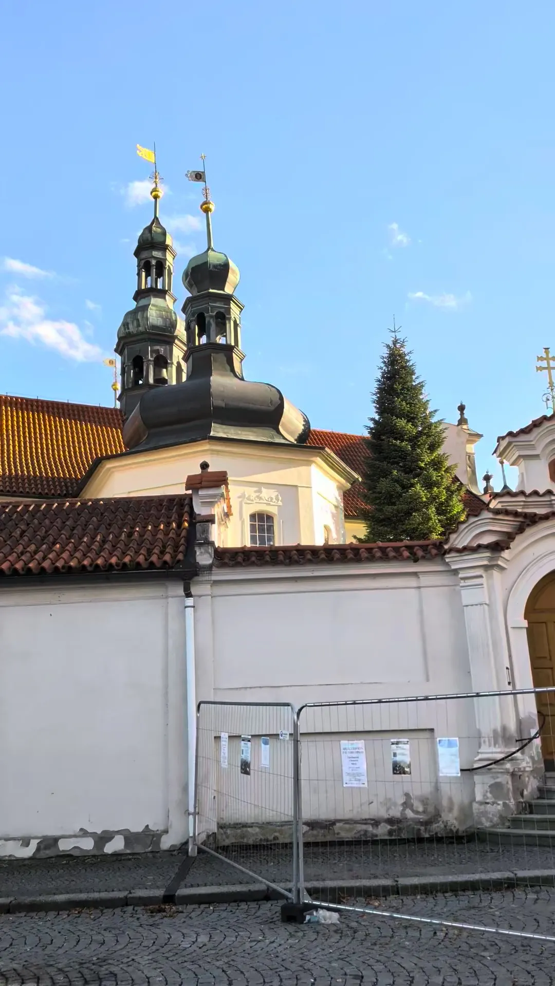
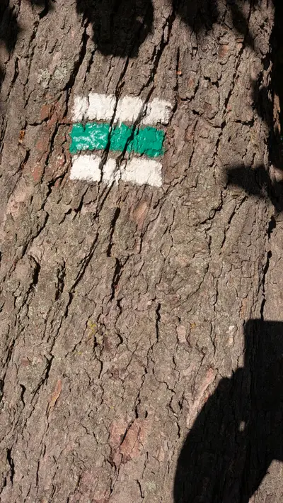
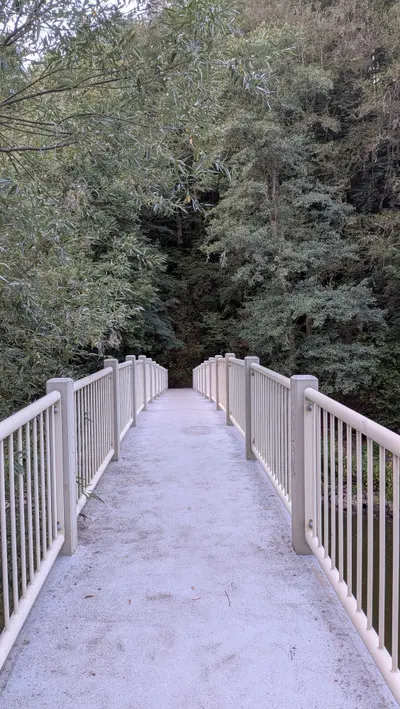
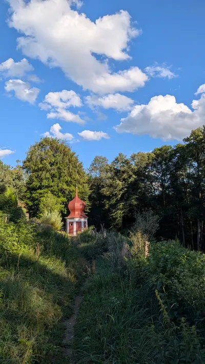
The river path continues to Harrachovka, a forest restaurant with a campsite 3 km below Tábor. Leave the red waymark here. Cross the footbridge and take the green waymark, which climbs out of the valley past the little chapel U Dobré vody to Klokoty, the Baroque pilgrimage monastery on the edge of town.
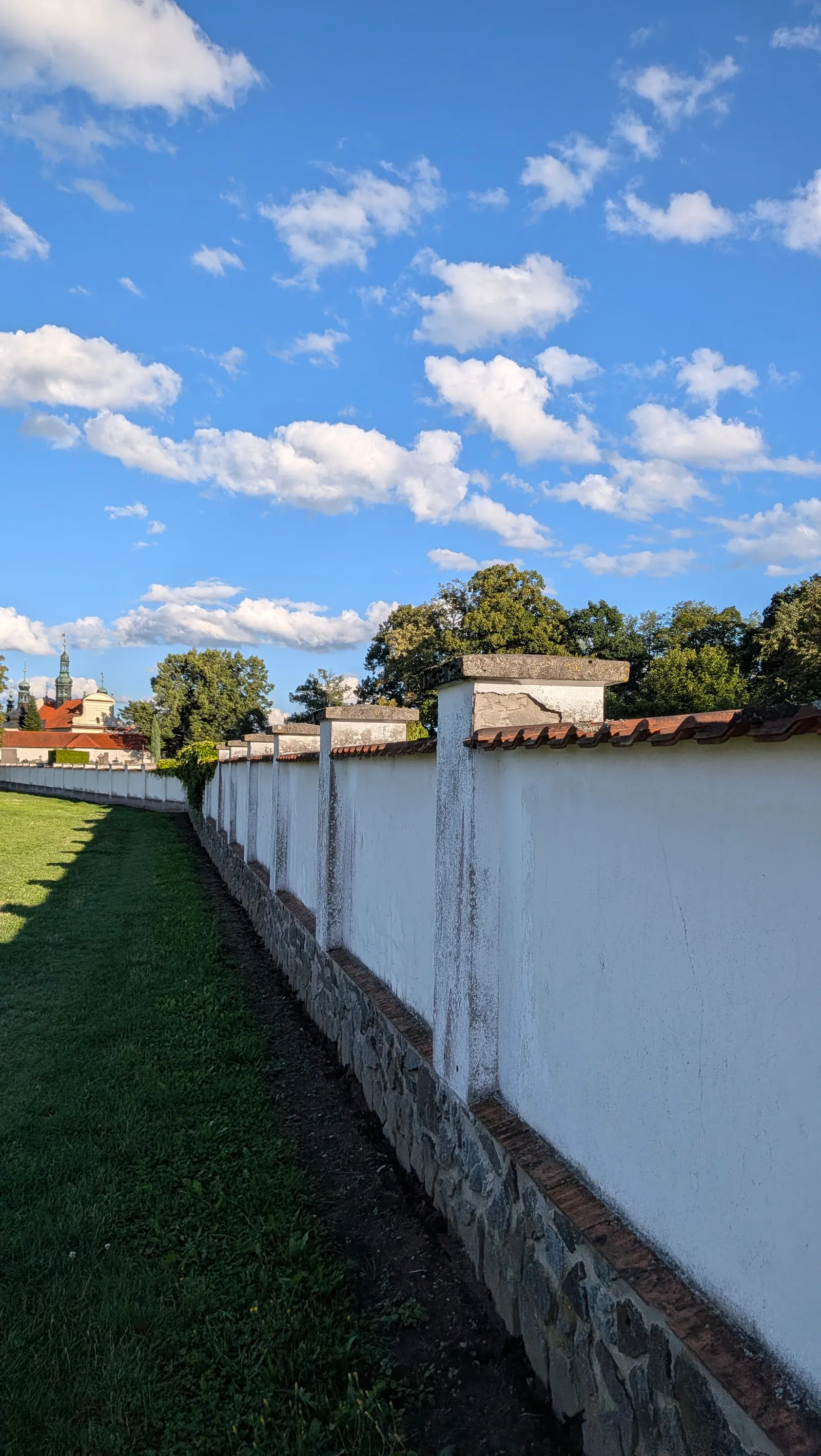
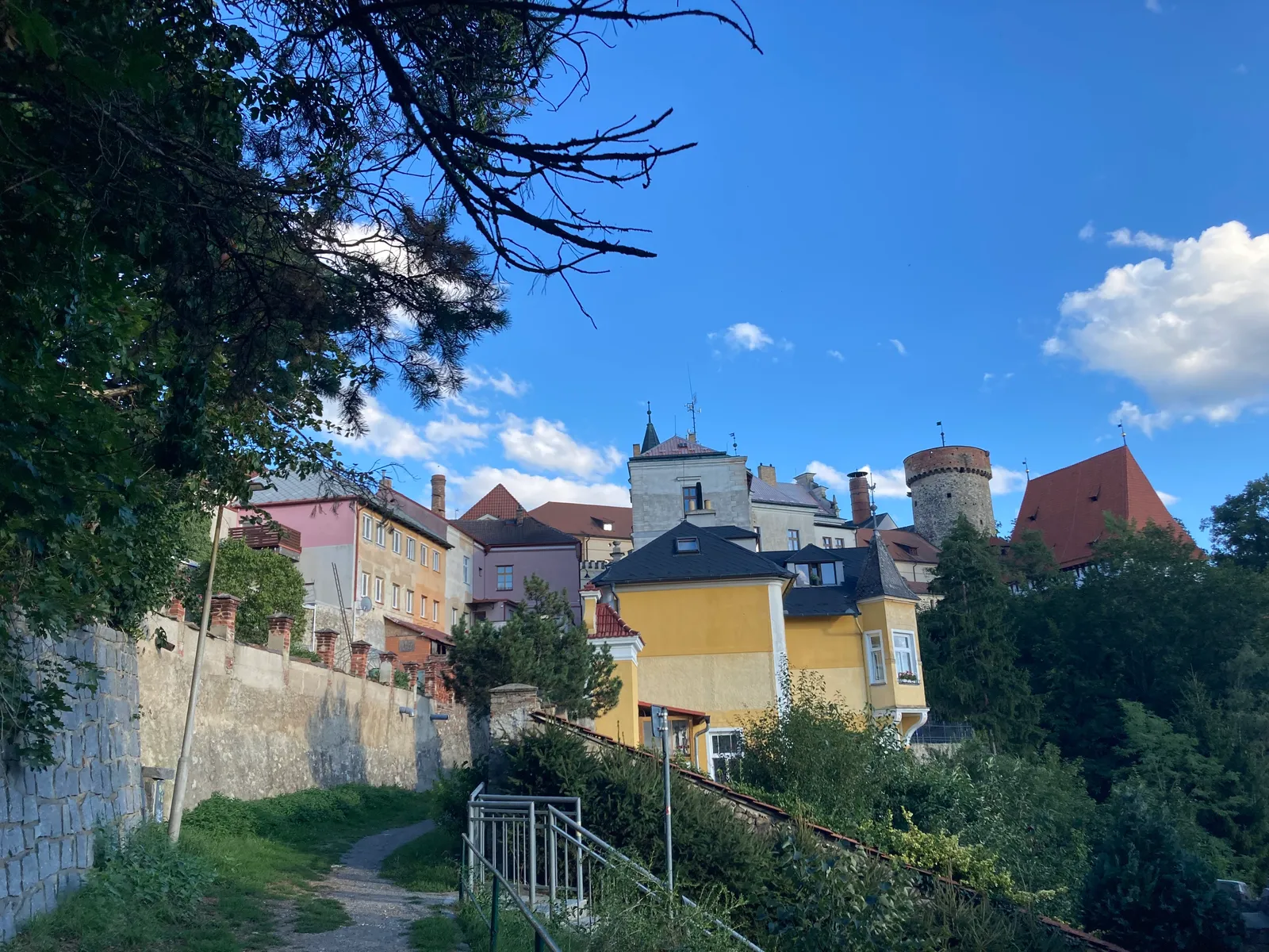
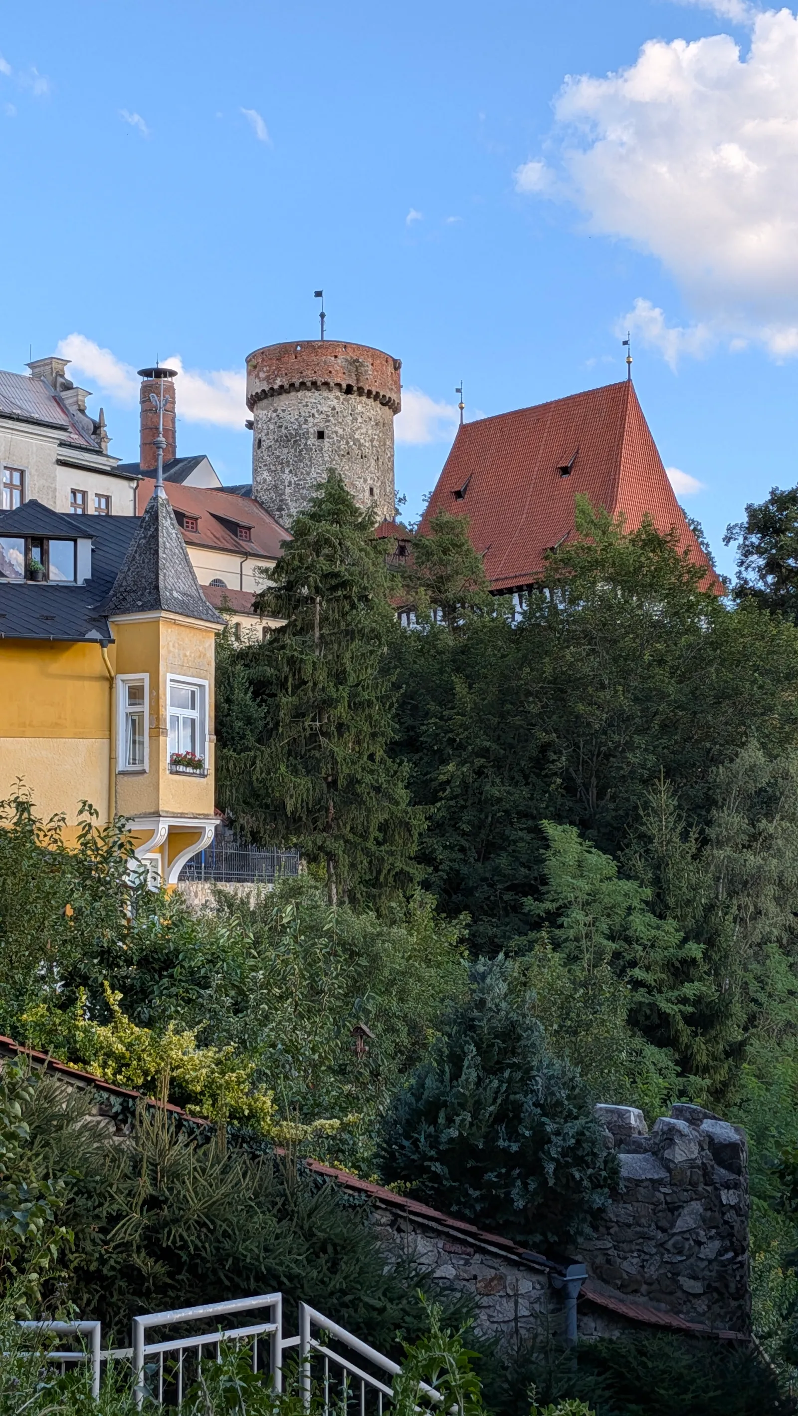
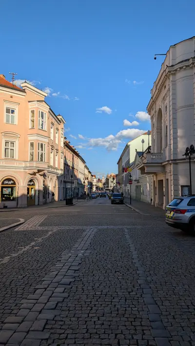
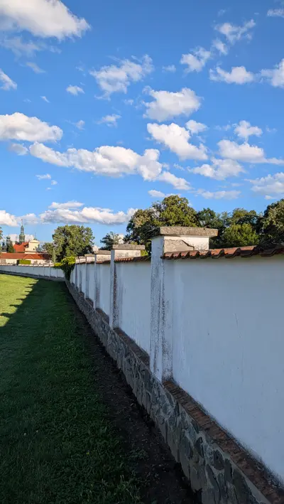
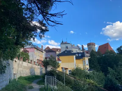
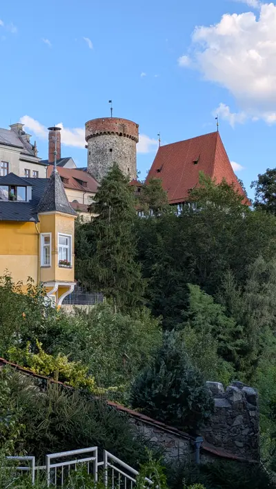
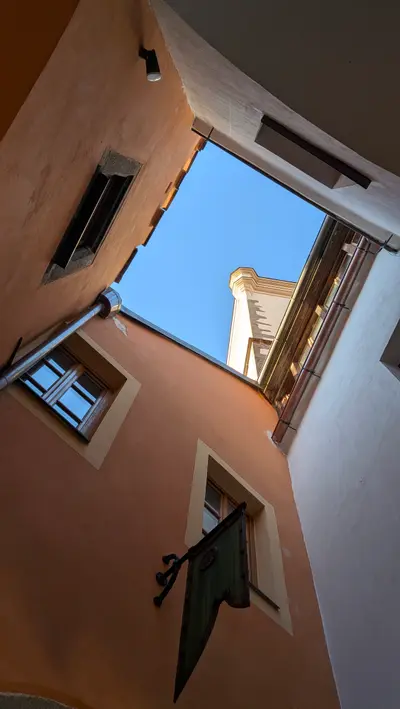
From Klokoty it is a short walk along the monastery wall and past the Kotnov tower into the old town of Tábor. We had little time left to look around. I was surprised how clean and quiet the centre is, and how few tourists there are. It is one of the best Czech towns I have walked into. Plan more time for it than the end of a hike leaves you. The station is about 1.5 km from the square through the new town.
Practical info
| Start | Bechyně railway station, by train End of the Bechyňka electric line from Tábor. From Prague change in Tábor, about two and a half hours in all |
|---|---|
| End | Tábor railway station, by train, bus Fast trains to Prague. The station is about 1.5 km from the old town square |
| Waymarks | red, green |
| Terrain | forest path, field track, asphalt |
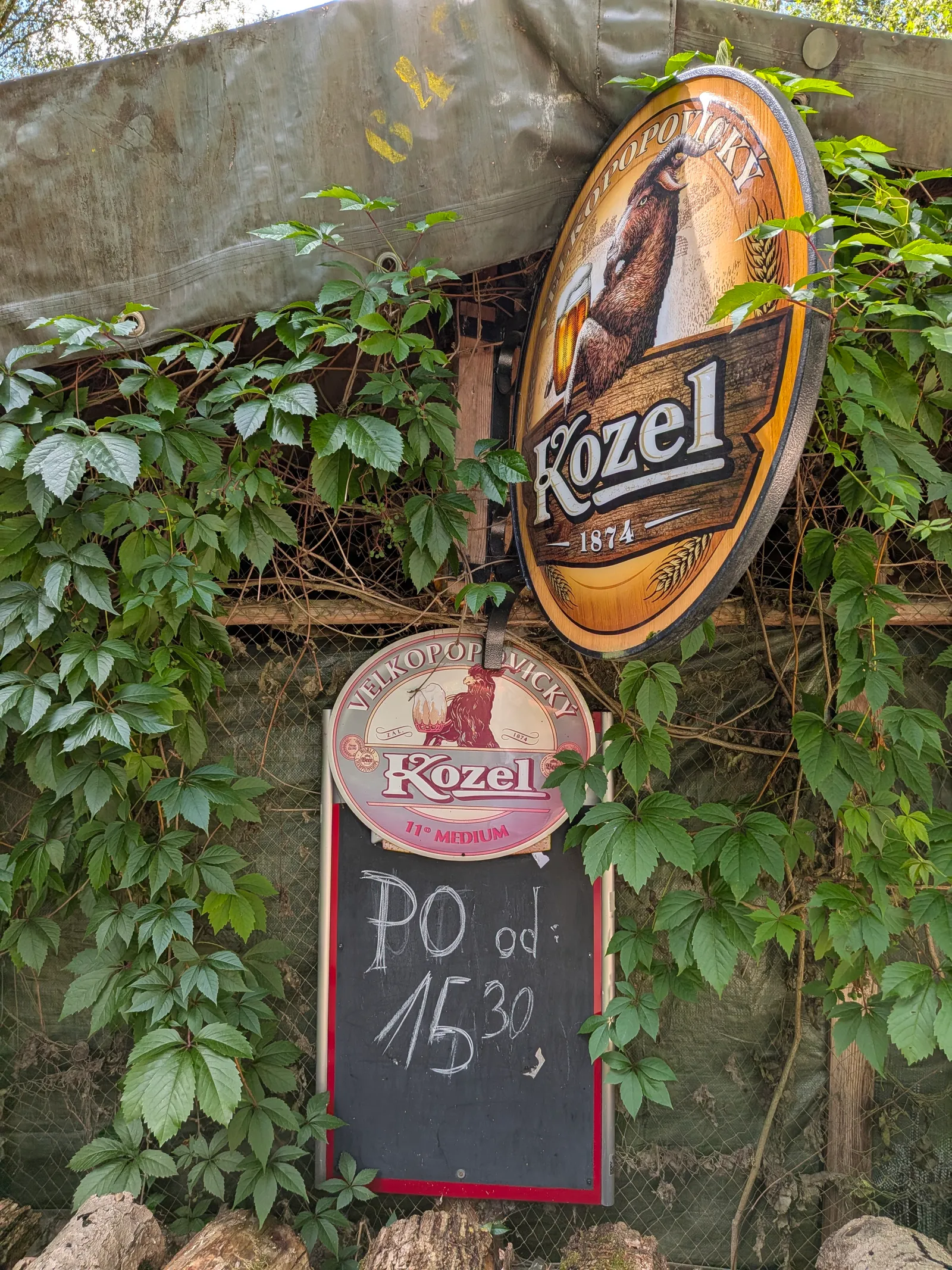
| Food & water | Pubs in Bechyně (pub, km 0.5). a few minutes from the station, we had a beer there before setting off Pod hradem, Dobronice (pub, km 8.2). garden kiosk with beer on the river path under the castle ruin Campsite bar at Bečice (pub, km 15.2). beer and simple food at the campsite by the river, after the chain bridge Restaurant at Příběnice (restaurant, km 17.8). below the ruin, on the site of the medieval town. It looks nice, the food was slightly below average on my visit Harrachovka (restaurant, km 24.7). forest restaurant with a campsite by the river, 3 km below Tábor Pubs and cafés in Tábor (pub, km 28). plenty around Žižkovo náměstí |
| Links | Open route on Mapy.com |
| GPX | Download track |
On the way
-
Bechyně
A small spa town on a rock above the Lužnice, with a Renaissance castle, a ceramics tradition and the concrete arch of the Duha bridge carrying the electric railway from Tábor into town.
-
Dobronice
A castle ruin on a rocky spur above the Lužnice and, alone in the fields above the village, an early Gothic church of the Assumption. Two landmarks on the red waymark between Bechyně and Stádlec.
-
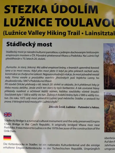
Stádlecký most
The last Empire-style chain bridge in the country, built over the Vltava in 1848 and moved to the Lužnice near Stádlec when the Orlík dam flooded its valley.
-
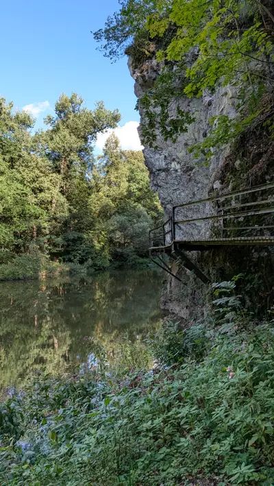
Příběnice
The remains of a Rožmberk castle on a rock above the Lužnice, taken by the Hussites in 1420 and pulled down in 1437. The river path reaches it by a steel walkway and a tunnel.
-
Klokoty
A Baroque pilgrimage monastery on the edge of Tábor, above the Lužnice, built in 1701–1730 and a national cultural monument since 2018.
-
Tábor
The Hussite town, founded in 1420 on a rock spur above the Lužnice. A medieval old town around Žižkovo náměstí, the Kotnov tower, and fewer tourists than a place this good deserves.
Photos
-

-

-
-
km 1 -
km 0.49 -
km 0 -
km 1.82 -
km 3.77 -
km 9.15 -
km 9.15 -
km 9.15 -
km 10.07 -
km 12.67 -
km 13.67 -
km 14.44 -
km 15.19 -
km 17.36 -
km 18.05 -
km 19.76 -
km 19.76 -
km 19.76 -
km 19.76 -
km 23.35 -
km 23.44 -
km 23.79 -
km 23.79 -
km 24.35 -
km 25.67 -
km 26.25 -
km 26.32 -
-
km 27.28 -
km 27.73 -
km 27.87 -
-